Floods hit South Bay in first of 3 Southland storms forecast this week
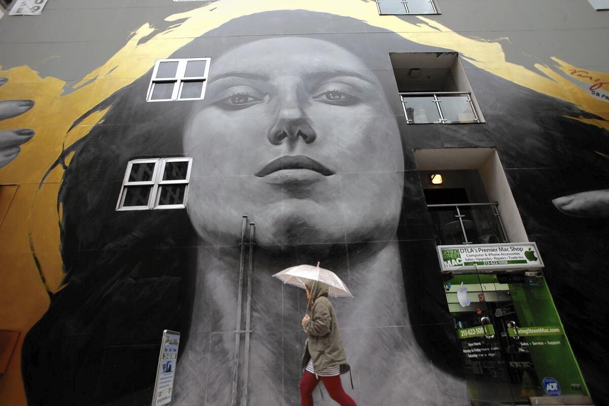
After rain soaked much of Southern California on Tuesday, bringing late-afternoon floods to parts of the South Bay, a more powerful storm was expected to roll in before dawn Wednesday, followed by a third later this week.
Beginning at 4 a.m. Wednesday, the coasts and valleys of Southern California will see cooler temperatures with up to 1 inch of rain through Wednesday night, said National Weather Service weather specialist Bonnie Bartling.
“This is not a well-defined system — you can’t really predict everything,” Bartling said, noting that small, isolated thunderstorms could pop up throughout the day. Rainfall should taper off by Wednesday night.
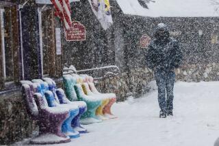
The mountains and foothills should get 1 to 2 inches of rain, and 3 to 6 inches of snow are expected above 6,000 feet.
The anticipated snowfall prompted the National Weather Service to issue a winter storm advisory starting at 10 p.m. Tuesday, cautioning motorists to watch for icy roads and limited visibility.
Rainfall sprinkled the region Tuesday in the first act of the week’s storms, a system that National Weather Service meteorologist Andrew Rourke labeled “pretty light.”
“It’s a good one to keep our grass green,” Rourke said.
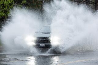
Few rain-related problems were reported except for a small band of cells that lingered above Torrance and Carson, lashing the South Bay cities at a rate of 2 inches of rain per hour. The surge of precipitation caused minor flooding, stranding some cars that had to be towed.
“Gutters don’t work, so you end up with street flooding,” Bartling said. “It was too much rain and it had nowhere to go.”
Residents living in burn areas at risk for rock and mudslides “are going to have to be cautious with this storm,” said National Weather Service meteorologist Andrew Rourke.
The weather service said minor debris flows are possible in the 2013 Springs fire burn area in Ventura County, where last week’s storm sent rocks and mud crashing into several homes.
In Glendora, where the Colby fire made some homes vulnerable to mud and debris flows, city officials escalated the alert level on Monday but didn’t order evacuations. Residents were advised to remove cars and trash bins from the streets.
With waves swelling up to 15 feet, high surf advisories were issued from the Central Coast down to San Diego, urging swimmers and surfers to be cautious of rip currents. Lightning storms are predicted at Orange County and San Diego beaches.
Elsewhere in California, the first system moved into Northern California early Monday, drenching Sacramento, the Bay Area and the Central Valley. Snow levels dropped to 3,000 feet in north Shasta County and 4,000 feet over the Sierra.
Rain and snow are expected to continue in Northern California until Wednesday, with a brief break Thursday. A Friday storm should give way to a dry weekend.
In the Bay Area, it has been the third-wettest December on record for San Jose, the weather service reported. San Francisco has received 9.14 inches of rain so far this month, a significant increase from last year, when it got only 2.08 inches from July 1 to Dec. 15.
The third storm should arrive in Southern California on Friday, but forecasters said it would be the weakest one this week. San Luis Obispo County and the rest of the Central Coast should experience light showers, but Los Angeles should have only gray skies with scant precipitation.
The damp and gloomy week is expected to give way to gradual warming Sunday, with temperatures in the 70s that will continue early next week.
Twitter: @VeronicaRochaLA
Twitter: @MattHjourno
More to Read
Start your day right
Sign up for Essential California for news, features and recommendations from the L.A. Times and beyond in your inbox six days a week.
You may occasionally receive promotional content from the Los Angeles Times.
