Winter storm brings flash flood warnings across Southern California
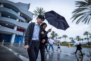
A low-pressure cold front sweeping through Southern California on Sunday night is bringing moderate to heavy rainfall, and those living in burn areas and at higher elevations could see treacherous weather conditions.
Around 10:22 p.m., the National Weather Service issued a flash flood warning for residents around the Colby fire burn area in Glendora and Azusa, noting that expected rainfall will likely trigger debris flows.
In January 2014, about 1,900 acres were scorched in the so-called Colby fire and since then, the exposed tract has been prone to debris flows during heavy rains.
The flash flood warning extends until 12:15 a.m. Monday. City officials did not impose mandatory evacuations, but told residents to not place their garbage cans in the street in the event that heavy rains topple them.
In the Camarillo Springs burn area in Ventura County, the weather service issued a flash flood warning until at least 9:15 p.m. Sunday, predicting “imminent” floods and possible debris flows. Residents are advised to remain at home.
Farther south in the Santa Ana Mountains, the Silverado Canyon is under a flash flood watch extending through early Monday morning, with debris flows expected on account of heavy rains.
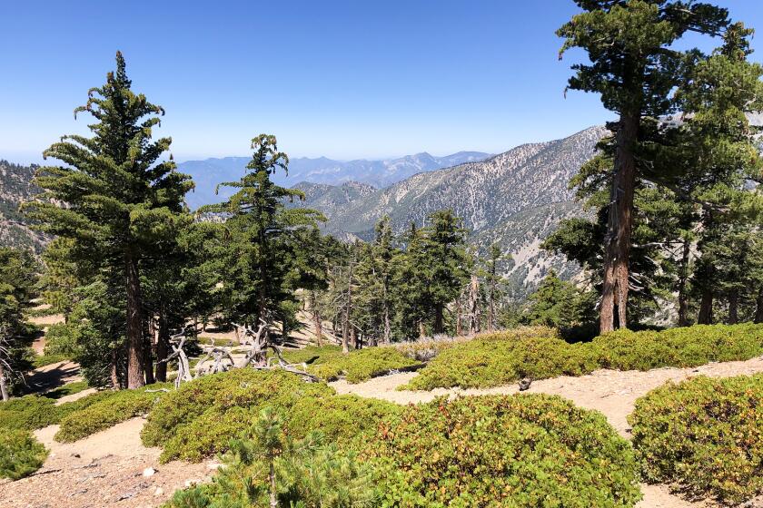
Mountains across Southern California -- with the exception of the Santa Monica Mountains -- are expected to see snow at elevations above 6,000 feet and wind gusts up to 40 mph, according to the weather service.
Los Angeles and Ventura counties could see up to 7 inches of snow at high elevations by Monday morning, while Riverside and San Bernardino could see up to a foot of snow.
Drivers at lower elevations aren’t immune to hazard. Those passing through the San Gabriel Mountains, especially on Highway 2, could see icy conditions and low visibility.
For breaking news in California, follow @MattHjourno.
More to Read
Start your day right
Sign up for Essential California for news, features and recommendations from the L.A. Times and beyond in your inbox six days a week.
You may occasionally receive promotional content from the Los Angeles Times.
