How mammoth Hurricane Patricia grew so powerful so fast


Hurricane Patricia is now described as the strongest hurricane ever recorded in the Western Hemisphere. Meteorologists are talking about its stunning “rapid intensification.” The rest of us can call it a hurricane explosion.
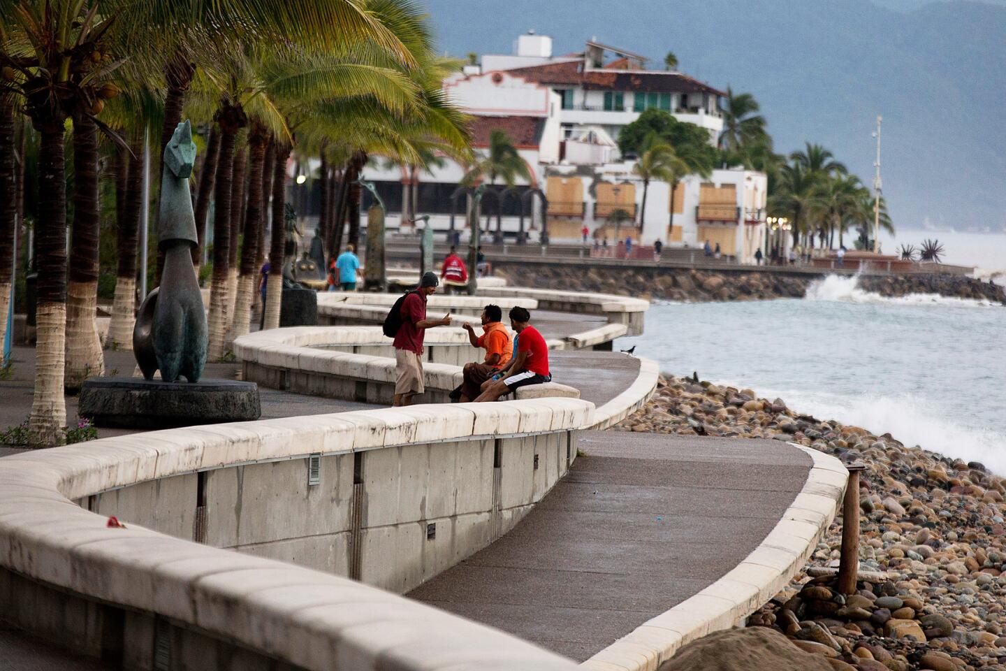
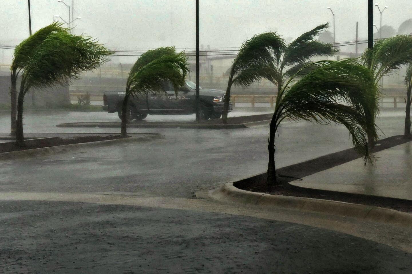
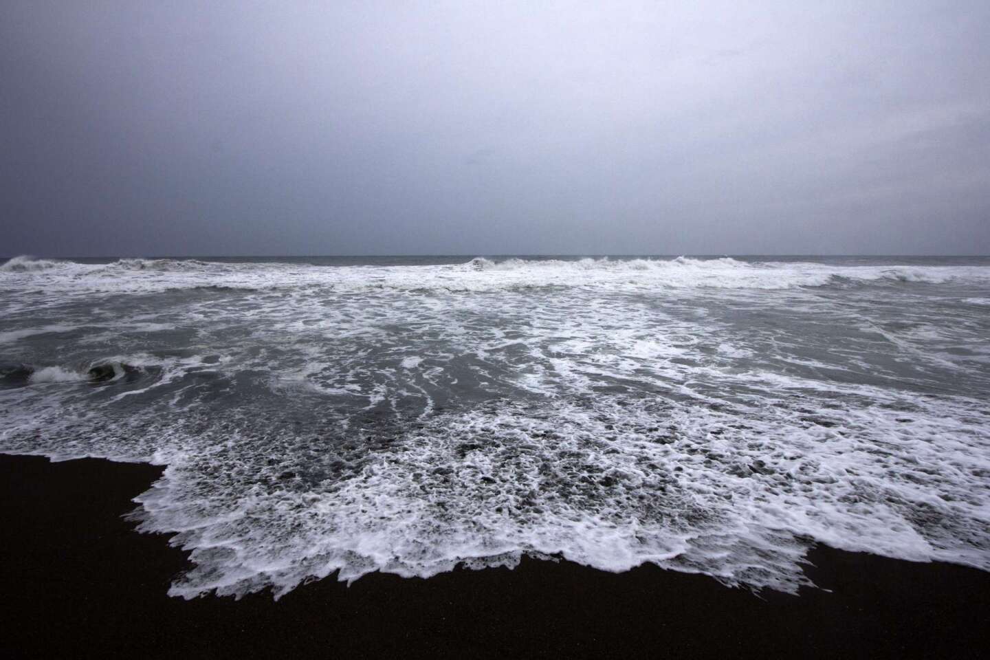
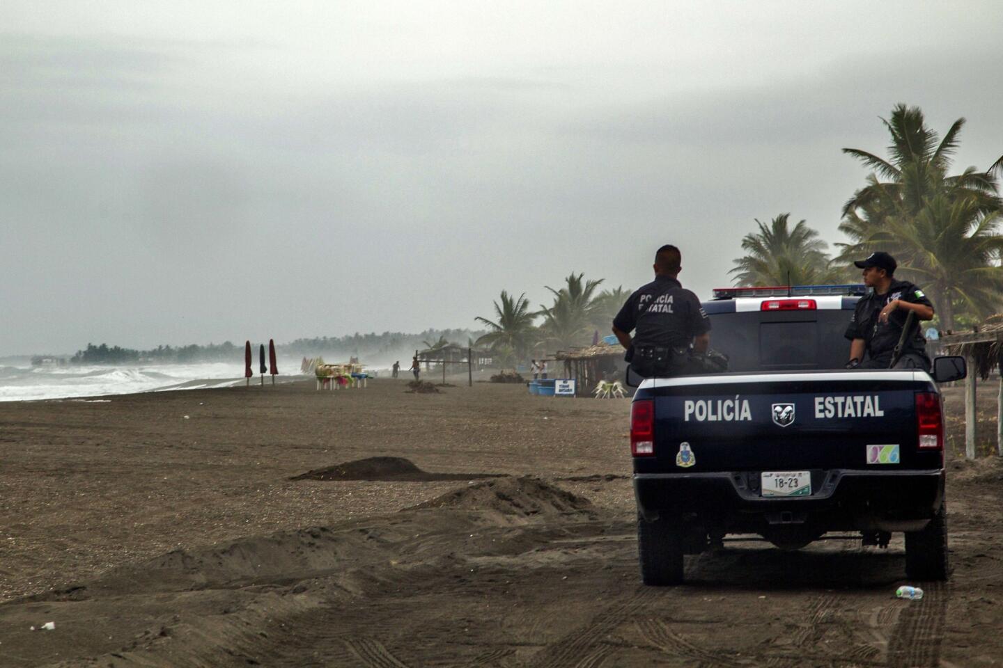
From Wednesday night through Friday, Tropical Storm Patricia blew up into a record-setting Category 5 hurricane that is headed toward Mexico’s west coast. In about 24 hours, the maximum sustained winds increased from 85 miles per hour Thursday morning to more than 200 miles per hour by early Friday, meteorologists say.

“It was a perfect environment for the rapid intensification,” said Dennis Feltgen, a meteorologist with the National Hurricane Center in Miami.
That perfect environment includes warm ocean water, low wind shear or calm winds in the atmosphere and a relatively compact storm structure, according to meteorologists. Cooler waters, tossing upper winds and a broad storm footprint all serve as brakes to rapid growth.
Why Patricia turned into a monster is a bit of a mystery, said James Franklin, chief of forecast operations at the Hurricane Center.
“We have had situations with equally warm water and with low wind shear and we don’t get a record-breaking storm,” Franklin said. “What is the exact combination of factors to produce a storm? I don’t think anybody really knows.”
But the physics of growth is known, he explained.
The hurricane starts with warm waters off the Pacific. The water evaporates, forming thunderstorms, and the vapor turns to liquid, releasing more heat. This forms a cycle of heat that helps lower the air pressure, he said.
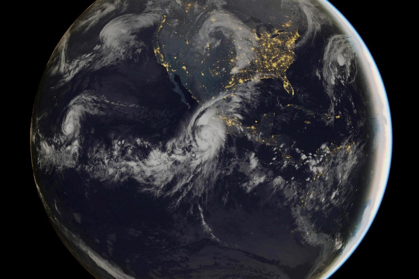
The probable path of Hurricane Patricia

The National Hurricane Center predicts Patricia’s path.
The cycle of heat exchange, dropping pressure and growing winds is like the fuel pump driving the storm. Changes in air pressure excite the winds into blowing. As of 11 a.m. EDT, Patricia was carrying sustained winds of 200 miles an hour with gusts even higher. It was moving north at about 10 miles an hour and was 125 miles southwest of Manzanillo, Mexico.
Air is normally moving in the atmosphere as well. The phenomenon is called wind shear and usually serves as a brake to hurricane growth, Franklin said.
Patricia developed when wind shear was calm, so a natural brake was not engaged.
The structure of the storm is also a key element in how quickly it grows. The general rule is the more compact a storm, the faster it grows.
Think about an ice skater beginning a spin. At first, the skater moves slowly, arms reaching out. But as the skater moves into a fast-moving championship spin, the arms come together, making the athlete more compact.
Patricia is relatively compact, Franklin said, perhaps 10 to 15 miles across and with the area of strongest winds just three miles from the center.
A very tiny core means that the storm is not going to generate a big sprawling disturbance, which can dissipate some of the force, Franklin said.
Also helping speed growth is when there are no outer bands of rain and wind to absorb some of the forces needed for growth, as in the case of Patricia. This is a bit like the skater pulling the arms overhead and close together, he said.
"There is no good answer why one storm does this and some storms don’t,” he said of rapid growth. “It seems a natural progression if the environment allows it.”
MORE ON HURRICANE PATRICIA:
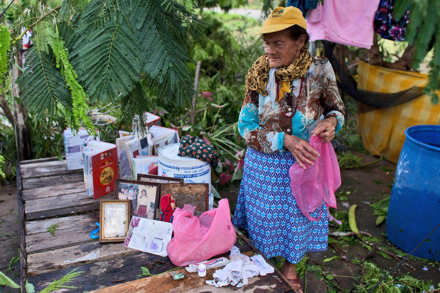
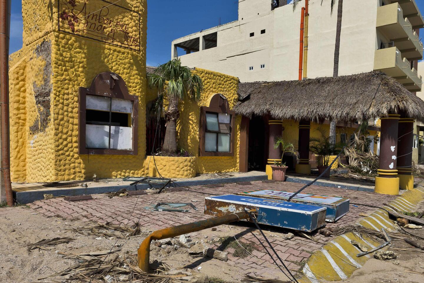
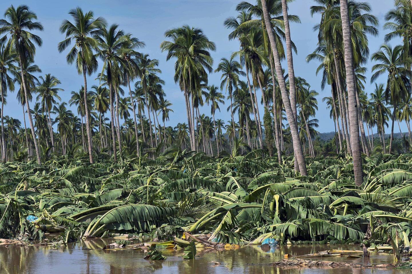
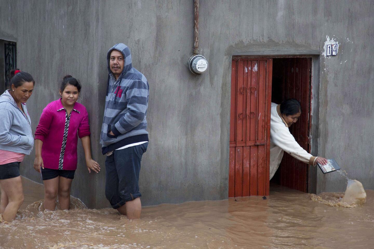
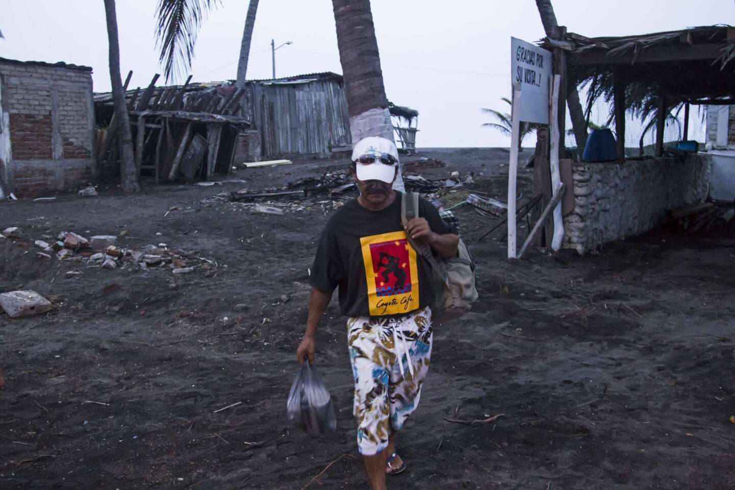
Live updates: Tens of thousands evacuate as Mexico braces for hemisphere's strongest storm on record
Category 5 hurricane growing at 'an incredible rate'
What to know about Patricia, the most intense hurricane ever recorded
Start your day right
Sign up for Essential California for news, features and recommendations from the L.A. Times and beyond in your inbox six days a week.
You may occasionally receive promotional content from the Los Angeles Times.