This urban stroll along the L.A. River includes a prime picnicking spot

Much has been made of the greening of the Los Angeles River, especially in the areas between Griffith Park and downtown L.A. But the river has steadily been getting improvements upstream, too.
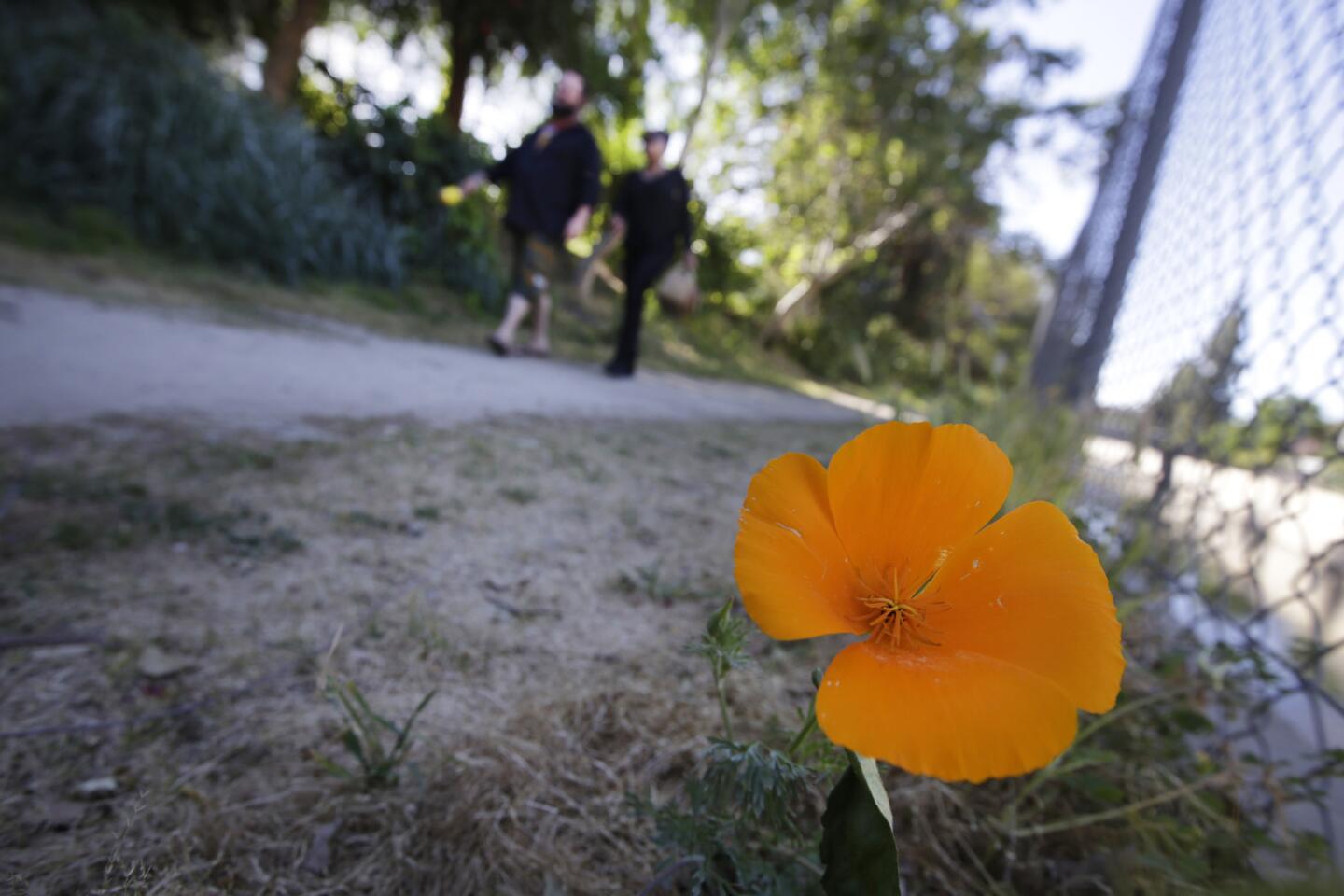
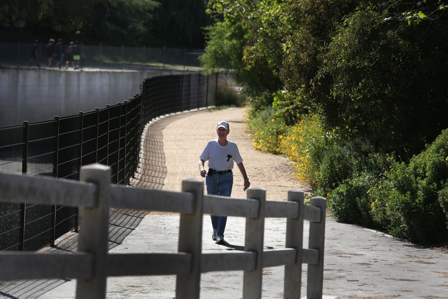
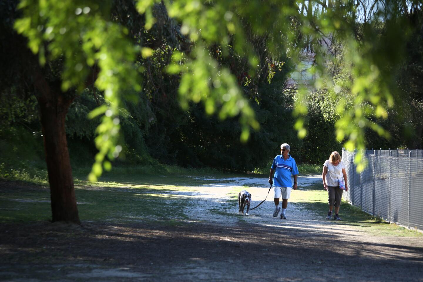
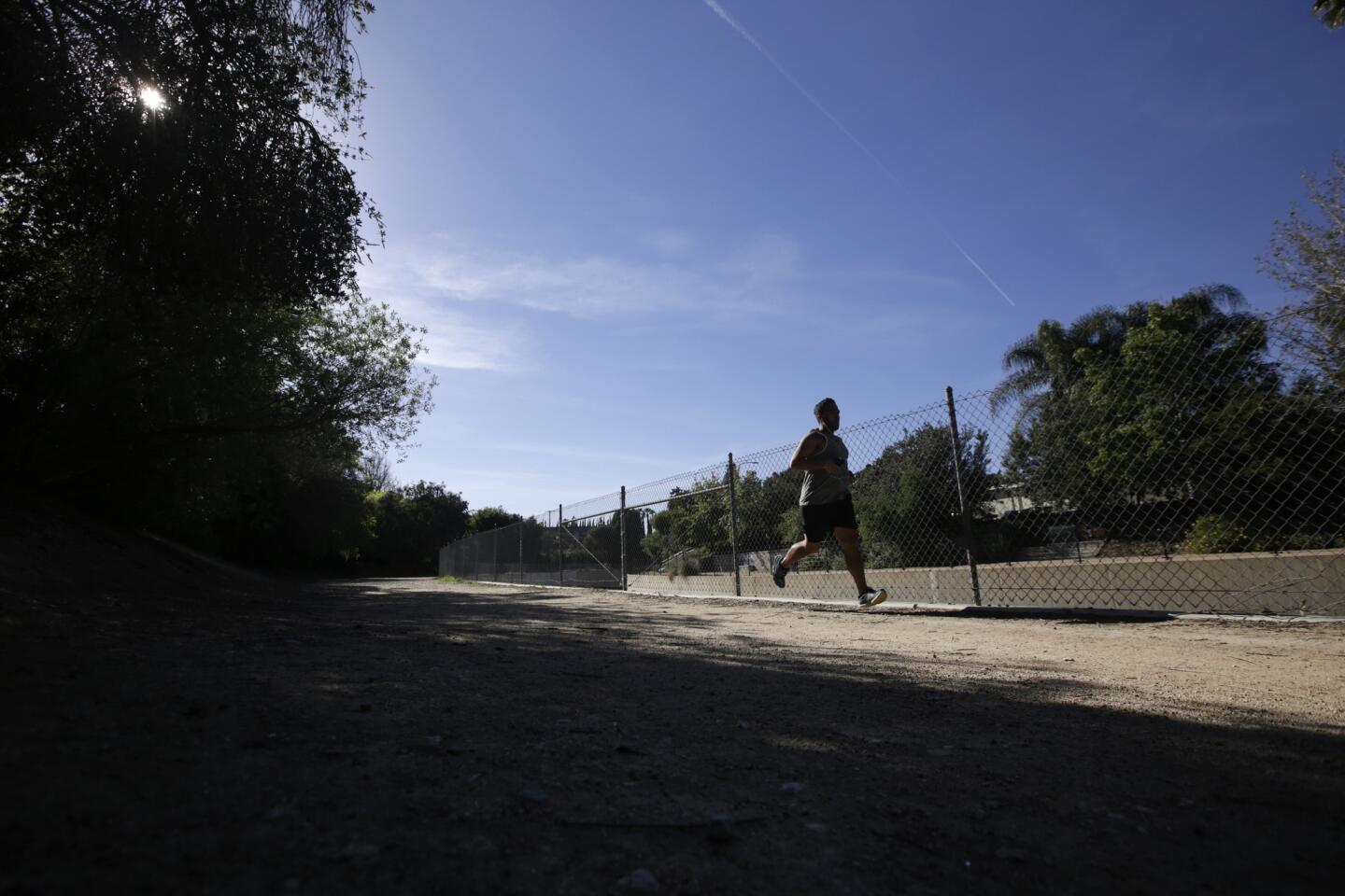
This is a very pleasant urban stroll along a section of the flood control channel as it passes across the southern end of the San Fernando Valley. It also offers a few choice spots for a shady picnic, if you’re having lunch in the area.
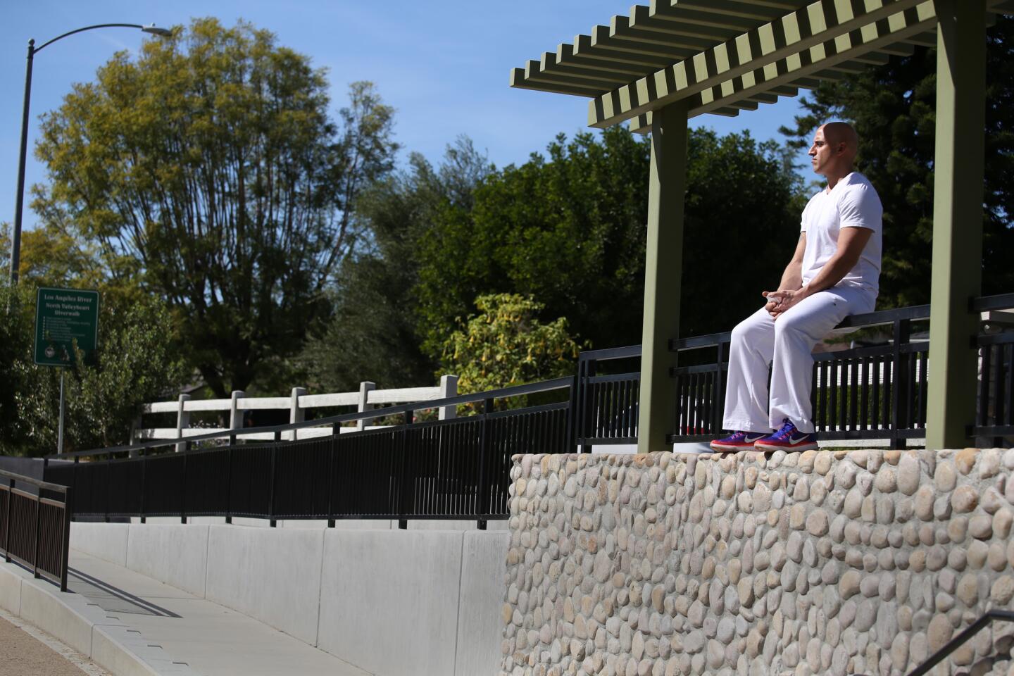
1. Start this walk in Sherman Oaks, near the intersection of Fulton Avenue and Valleyheart Drive. On the southeast corner of that intersection, find the entrance to a landscaped riverside walk as it descends from street level.
Find more great L.A. Walks — maps included >»
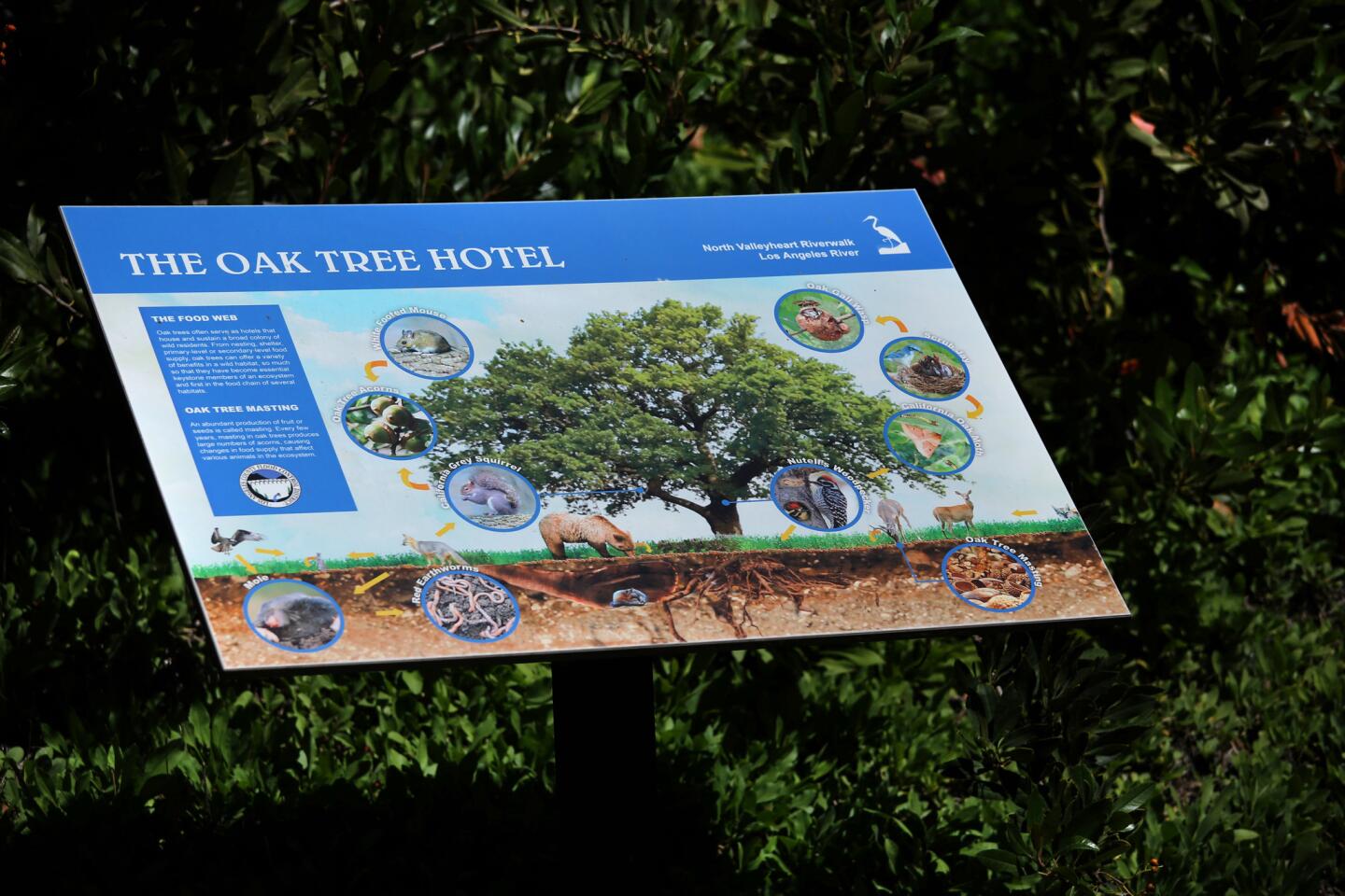
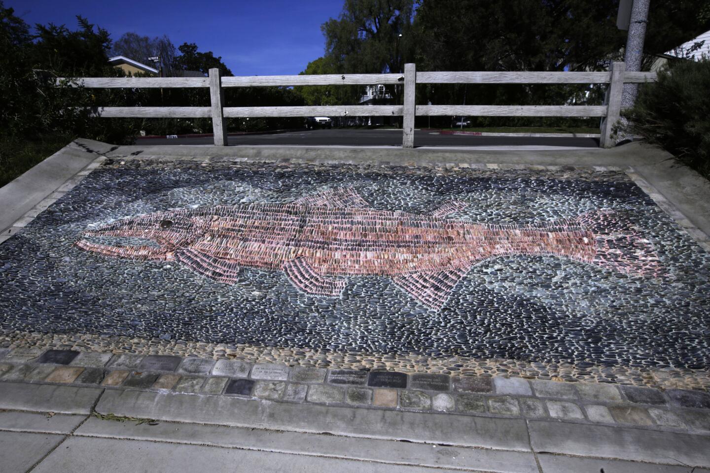
2. Follow the riverside path as it passes seating areas and informational signs depicting the flora and fauna found here.

3. Leave the river as the path bends upward and deposits you on Coldwater Canyon Avenue. Turn left, walk across the bridge, and re-enter the riverwalk by turning left again just before you get to the corner – taking a sloping ramp back down below street level.
4. Follow the path along the northern side of the waterway.
5. Exit the riverside area by following the walkway back up to street level, to the right, and landing on Fulton Avenue. Walk to the right, to the corner of Moorpark Street. Cross Fulton to the left. Then cross Moorpark, and continue walking one block on Fulton, with the river at your back.


6. Turn left onto Valleyheart Drive North. Walk four short blocks to Sunnyslope Avenue. Then turn left, and cross the river on an unusual, narrow pedestrian bridge.
7. Turn right off the bridge into the cul-de-sac end of Rye Street. Turn left after one short block onto Allott Avenue. Then turn left right away onto Moorpark Avenue.
8. Walk back to Fulton Avenue, turn right, and you’ll find yourself back at the starting point.
The stats
Distance: 2.3 miles
Difficulty: 1 on a scale of 1 to 5
Duration: 1 hour, 15 minutes
Details: Dogs on leash welcome. Nearest buses: Metro 150, 167, 240.
Fleming is the author of “Secret Stairs: A Walking Guide to the Historic Staircases of Los Angeles” and “Secret Walks: A Walking Guide to the Hidden Trails of Los Angeles.” Each month, he leads a free walk at one of his favorite spots in Southern California. Find out more at his Facebook page, Secret Stairs. He can also be reached at charles.fleming@latimes.com.
MORE L.A. WALKS
This short, steep hike takes you high above Burbank
Strolling around the lakes in El Dorado Park in Long Beach
This hike takes you to an (allegedly) haunted mansion: The Cobb Estate in Altadena