La Tuna Canyon fire road leads to views of city, peaks, even the ocean
This popular route north of Burbank, more of a hike than a walk, is a steady climb into the Verdugo Mountains, punctuated by shortcuts up steep inclines. There’s very little shade here, so climb early in the day or on a cool day, and take plenty of water. Also, bring sturdy shoes with good soles — and strong legs.

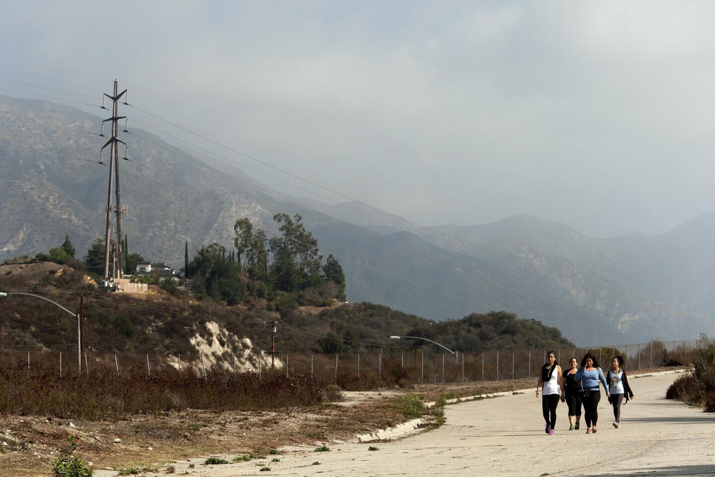
1. Begin from a parking lot on La Tuna Canyon Road, just south of its exit off the 210 Freeway. Walk up a slight incline on an old paved road, South La Tuna Canyon Road.

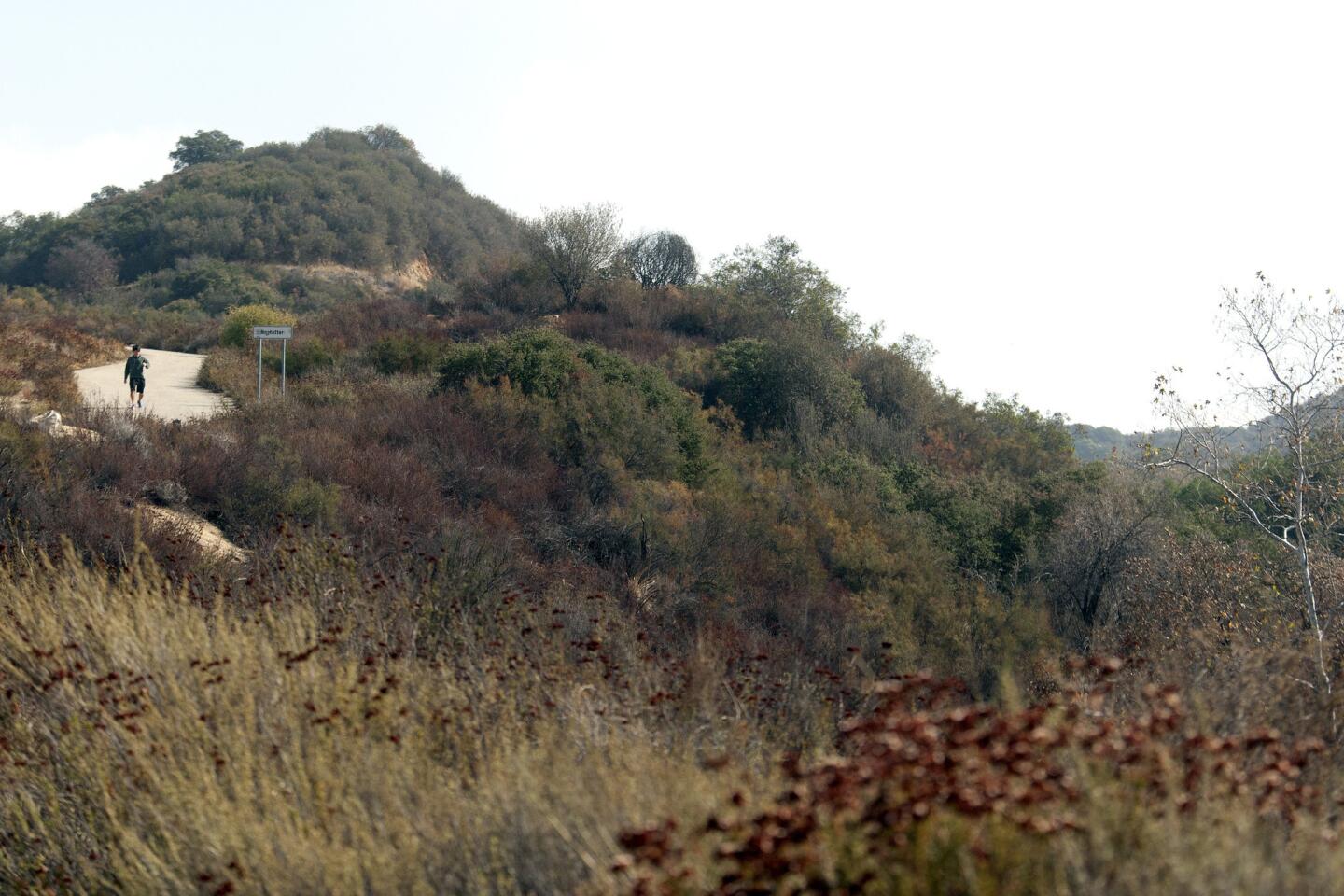
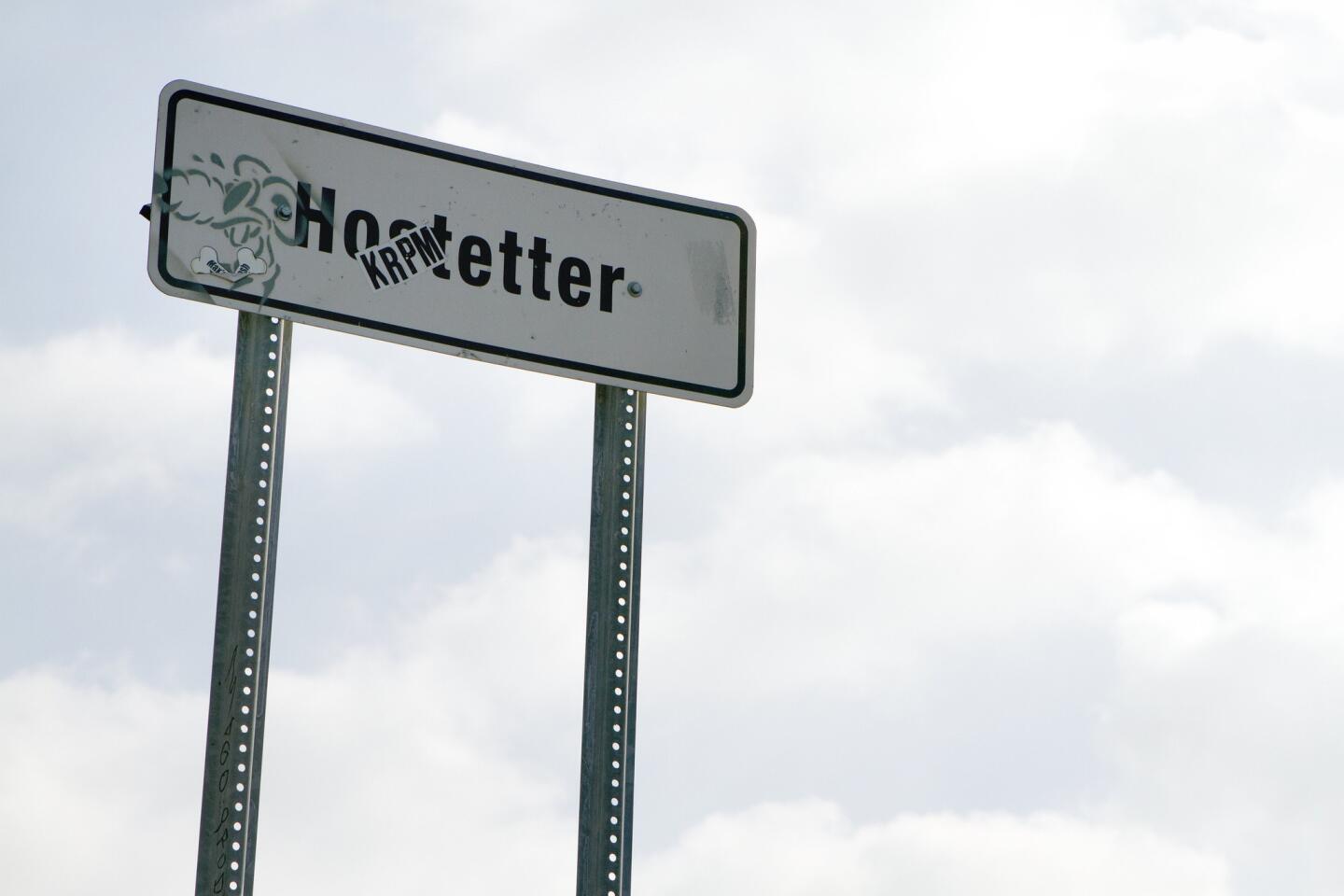
2. After about a third of a mile, turn right and walk toward a sign reading “Hostetter.” This is officially Hostetter Fire Road.

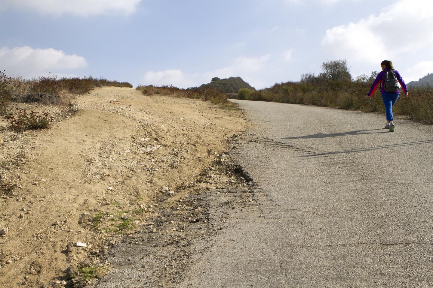
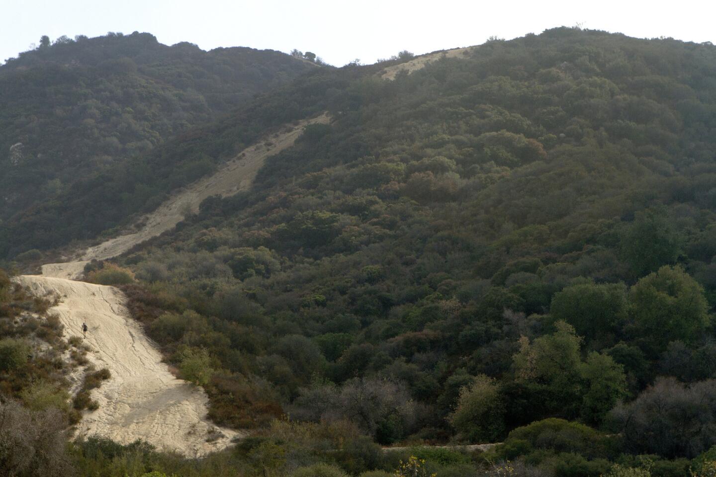
3. In less than half a mile on the fire road, there’s a shortcut: a trail to the left that’s a very difficult 0.6 mile climb up a slippery, rocky slope. If you decide to take it, take it slow. Otherwise, bear right and stay on the main dirt road.

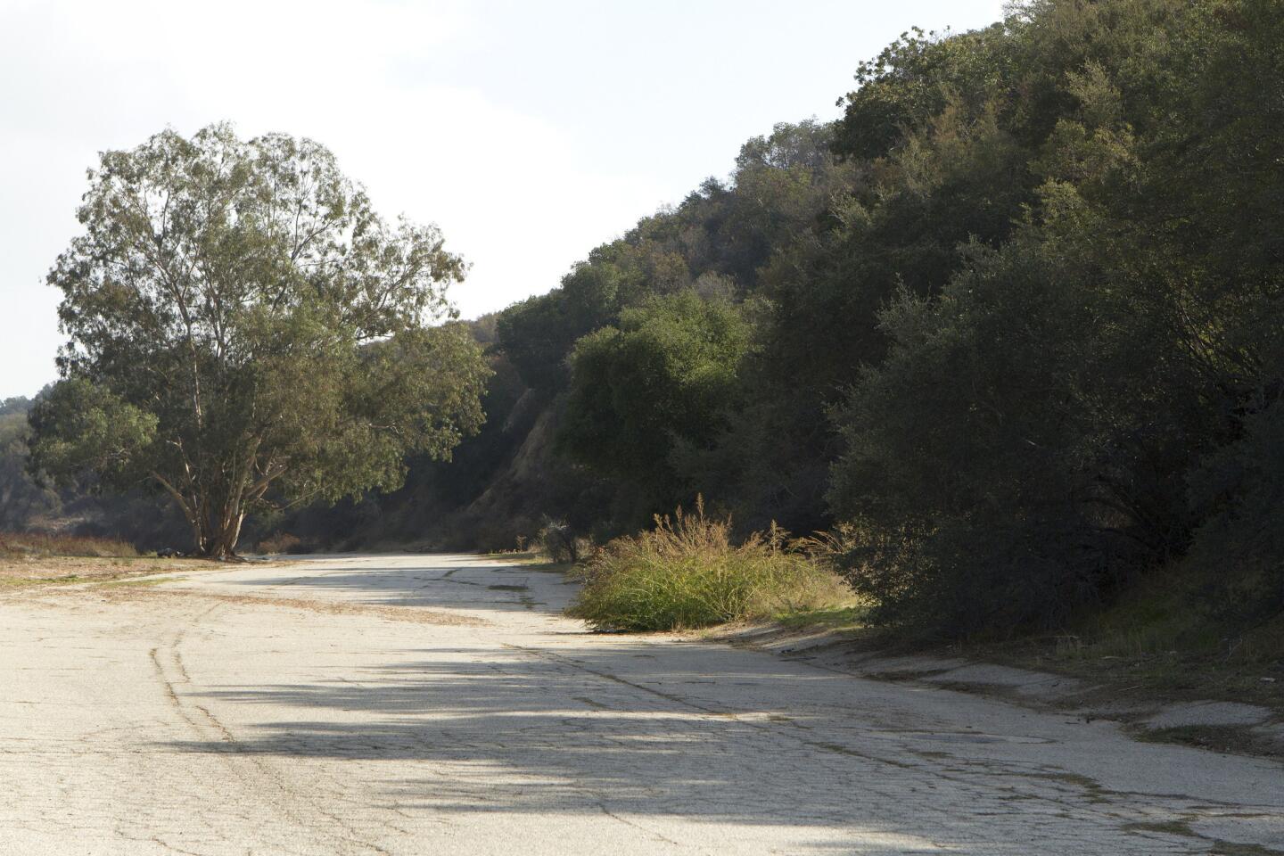
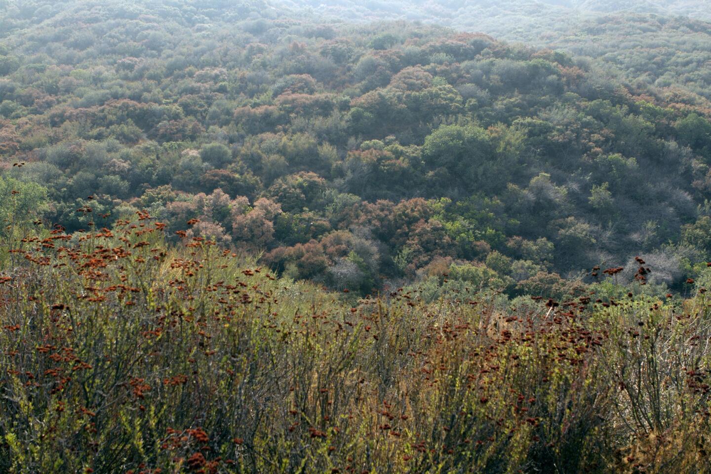
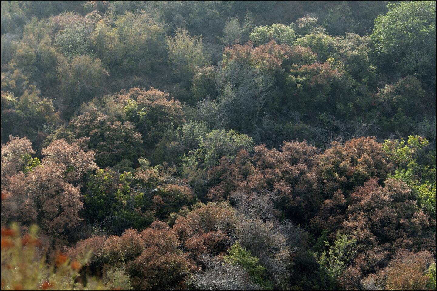
4. The climb is gentler this way, as the fire road hugs the hillside and does switchbacks along ravines filled with sycamore and oak. (“Tuna” means prickly pear cactus fruit in Spanish, but there is not actually a lot of cactus here.)

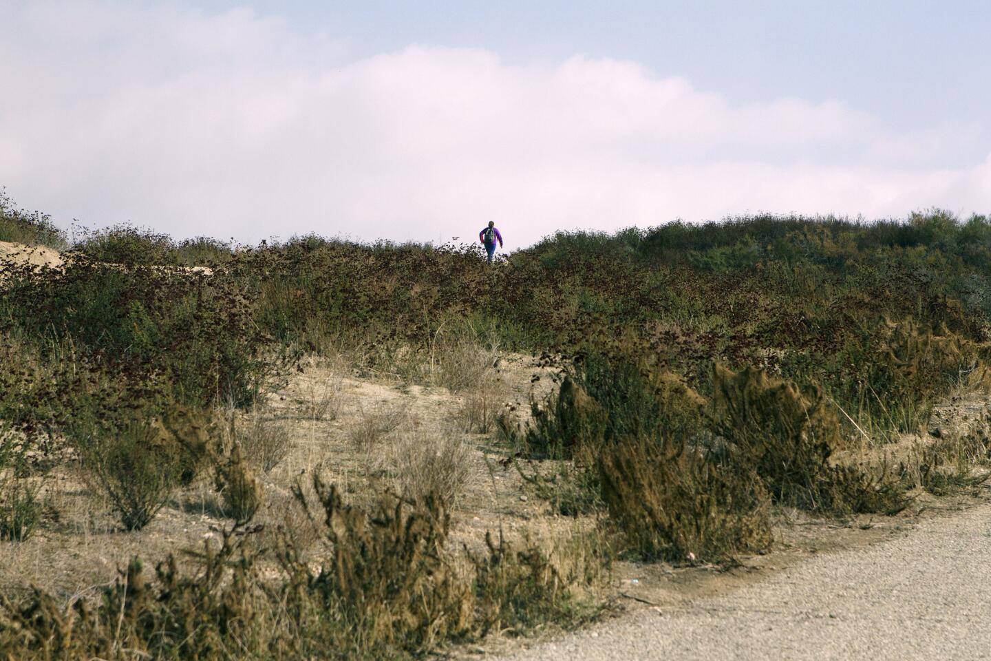
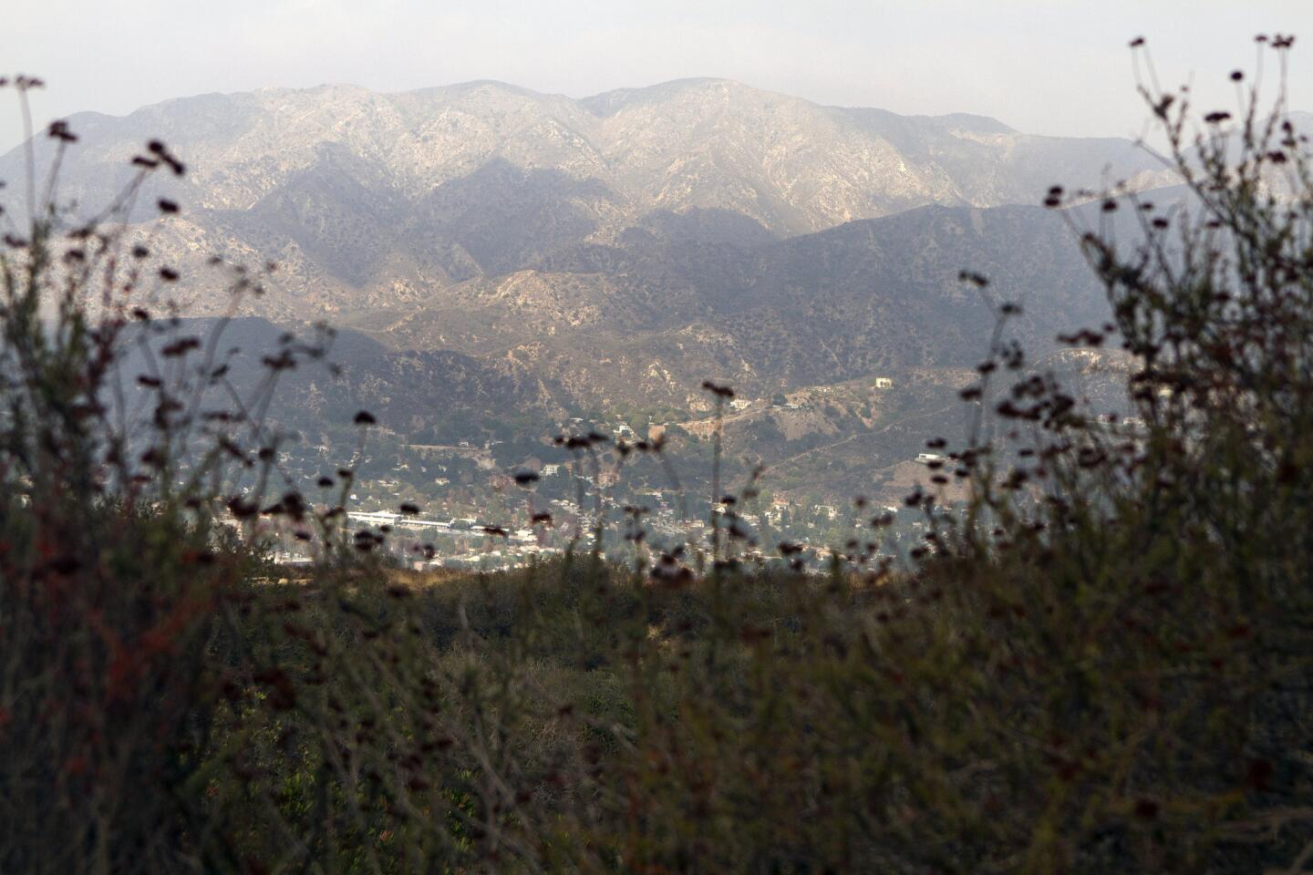
5. After about 2½ miles, by a metal water tank, you’ll find the top of the shortcut trail. There are people who take the steep way down. This is not recommended. Instead, take in some scenery. The great San Gabriel Mountains rise before you, with Mt. Lukens straight ahead and Mt. Wilson over to the right. In the foreground are the communities of Tujunga, La Crescenta and Montrose, with Glendale and La Cañada over to the right.
MAP: Find the perfect L.A. Walk near you
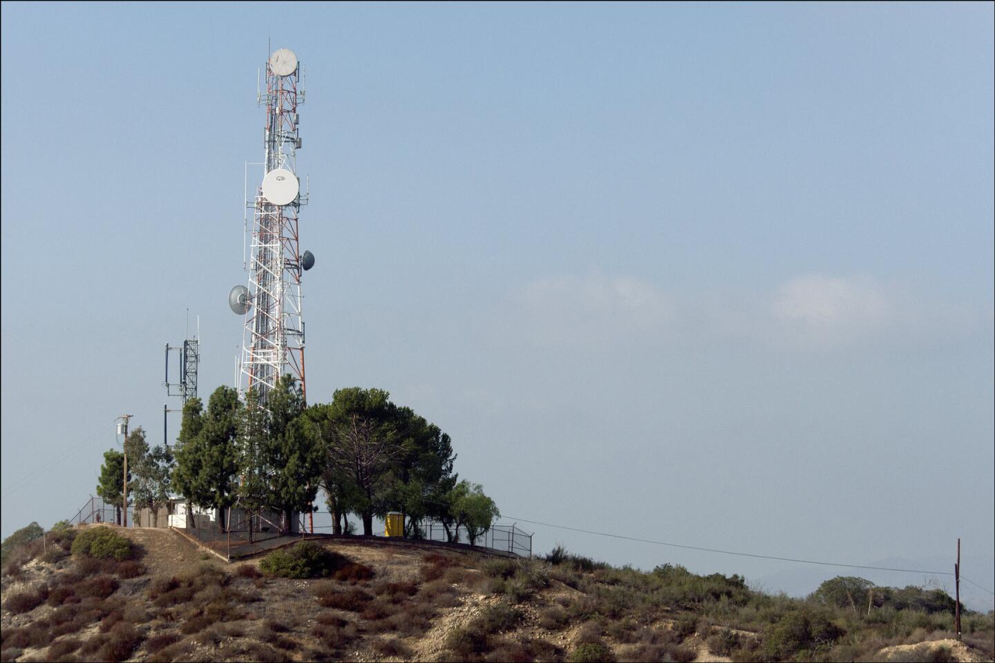
6. The Hostetter Fire Road continues for some distance. If you walk about 20 minutes farther, to a T-intersection under a tall radio tower, you can see Glendale, downtown L.A. and, on a clear day, the ocean. Explore in that direction, or return to the parking area the way you came.
Fleming is the author of “Secret Stairs: A Walking Guide to the Historic Staircases of Los Angeles” and the upcoming “Secret Stairs East Bay: A Walking Guide to the Historic Staircases of Berkeley and Oakland.”
MORE L.A. WALKS
L.A. Walks: An easy stroll in East L.A. at Belvedere Park
Solstice Canyon hike in Malibu takes in ruins of old estate
Break from the bustle of L.A. with a hike in Elyria Canyon Park
Sign up for The Wild
We’ll help you find the best places to hike, bike and run, as well as the perfect silent spots for meditation and yoga.
You may occasionally receive promotional content from the Los Angeles Times.