Where’s the rain? California could suffer an unusually dry winter from San Francisco to Los Angeles
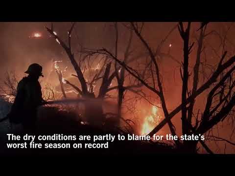
California could suffer an unsually dry winter.
California’s dismally dry autumn paints a bleak outlook for the state’s rainy season, unless the weather this winter makes a big about-face.
The situation is a major turnaround from last year, when Northern California was battered by a series of “atmospheric river” storms that helped end the state’s five-year drought. When it was over, California’s northern Sierra Nevada experienced the wettest winter on record, with some ski resorts staying open through the summer.
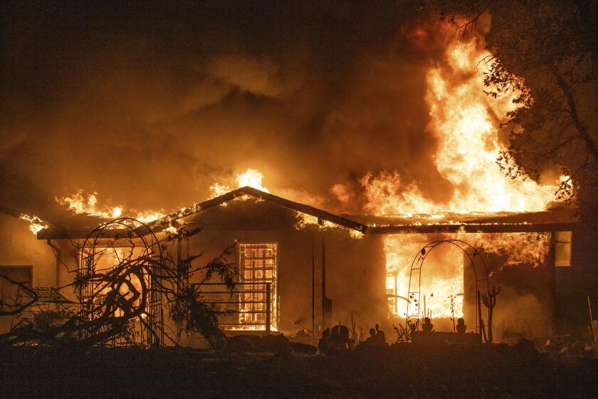
The dry conditions are partly to blame for the worst fire season on record in California. Low humidity and lack of rain coupled with high winds fueled destructive wildfires from Mendocino down to San Diego this fall. In wine country, more than 40 people died and more than 10,000 homes were lost. To the south, the Thomas fire in Ventura and Santa Barbara counties became the largest wildfire on record in California.
If the trend continues, forecasters say California could see, come spring, a light Sierra Nevada snowpack, a key source of water for the state during the dry summer.
The weather station in California with the longest record of recording rainfall, San Francisco, has measured just 3.4 inches of rain since the start of July. That’s only 44% of average for this time of year, said meteorologist Jan Null.
So far this December, San Francisco has received only 0.15 inches of rain.
San Francisco is already close to the halfway point in its rainy season: Jan. 19. In an average year, the city would have received 11.83 inches by then, halfway to the annual average of 23.65 inches, Null said.
Null said he analyzed rain records going back to the oldest precipitation record on file for California, the 1849-50 season in Gold Rush-era San Francisco. He found that there were 22 years in which San Francisco at this point in the season had similar anemic — but not abysmal — rainfall, between 2.9 inches and 3.9 inches.
And what Null found was bad news: Of those 22 years, only four of them caught up in the remainder of the rainy season and finished above the average.
“Those aren’t very good odds,” Null said.
As in Southern California, San Francisco has also been struggling with a giant mass of high pressure that is deflecting storms away from California — a pattern that has remained consistent throughout December.
“How long this will continue, I don’t think anyone knows,” Null said.
The situation is even more grim in Southern California.
On average, downtown L.A. gets more than an inch of rain in November and more than 2 in December. But this year, only one-hundredths of an inch of rain fell in November, and the same amount fell in December. In fact, there has been no substantial rainfall in downtown Los Angeles since February.
Since Oct. 1, downtown L.A. has seen only a measly 0.12 inches of rain.
It’s part of a larger weather trend for Southern California: Over the last seven years, maximum temperatures during the fall have gotten hotter and there has been less rain. This October and November were the hottest in 122 years of record keeping for the region.
For downtown Los Angeles, this is shaping up to be the driest March-through-December period on record, with a paltry 0.69 inches beating out the 1.24 inches that fell during the same 10-month period in 1962.
“We’d have to have a dramatic turnaround to have a wet winter,” said climatologist Bill Patzert of NASA’s Jet Propulsion Laboratory in La Cañada Flintridge.
“It’s certainly not an auspicious start,” said UCLA climate scientist Daniel Swain.
The longer that California sees the late fall and winter go by without seeing some decent storms, the worse the outlook is for a wet winter, much less an average one.
“Essentially in California, especially Southern California, we’re reliant on a pretty small number of precipitation events to … bring most of the water,” Swain said. “And it’s easy to miss out on just a couple of events and have a dry year.”
And the outlook continues to be dry and mild, setting up a boring time for meteorologists in Southern California. The forecast for downtown L.A. between Christmas and New Year’s Eve calls for partly cloudy or sunny skies, with highs mostly in the 60s to 70s.
San Francisco is also not expected to see significant storms for the next week.
In contrast to Los Angeles, Northern California did have somewhat of a decent November, depending on your perspective. San Francisco received 2.83 inches of rain, close to the average November amount of 3.16 inches.
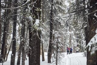
That resulted in snow in the Sierra Nevada, home to the state’s greatest mountain range that not only provides powder for ski resorts but stores California’s water supply as ice to be used during the dry season.
But unfortunately, the one major storm that did get through was relatively warm. So although precipitation in the Sierra is close to average, much of it is falling as rain in the lower elevations where snow would normally accumulate, said meteorologist Scott McGuire of the National Weather Service’s Reno office.
That means that the snowpack is pretty small; the amount of water contained in the snowpack is only about 34% of average for this time of year because snow is accumulating only at the highest elevations.
“The low elevations don’t have a big snowpack at all, they’re well below average for this time of year … so the snowpack has suffered as a result,” McGuire said. “We’ve only had one major storm — it brought us an abundance of precipitation — but it wasn’t good for the snow cycle.”
If things don’t change soon, McGuire said, “we’ll start to worry about the low snowpack.”
More to Read
Start your day right
Sign up for Essential California for news, features and recommendations from the L.A. Times and beyond in your inbox six days a week.
You may occasionally receive promotional content from the Los Angeles Times.
