After L.A. storm, warming temperatures could hit 90 by next week
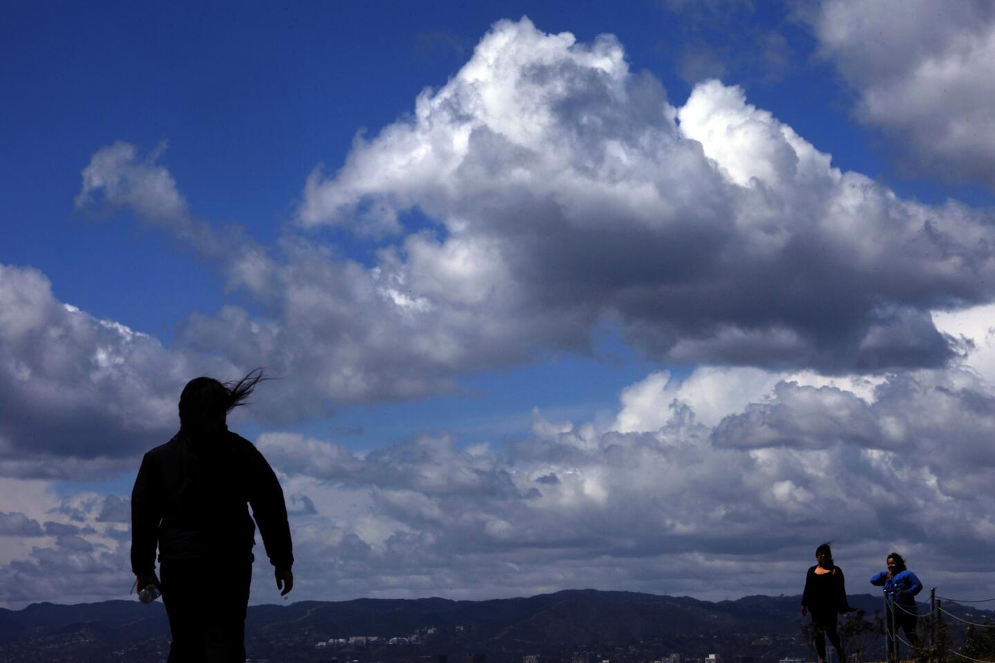

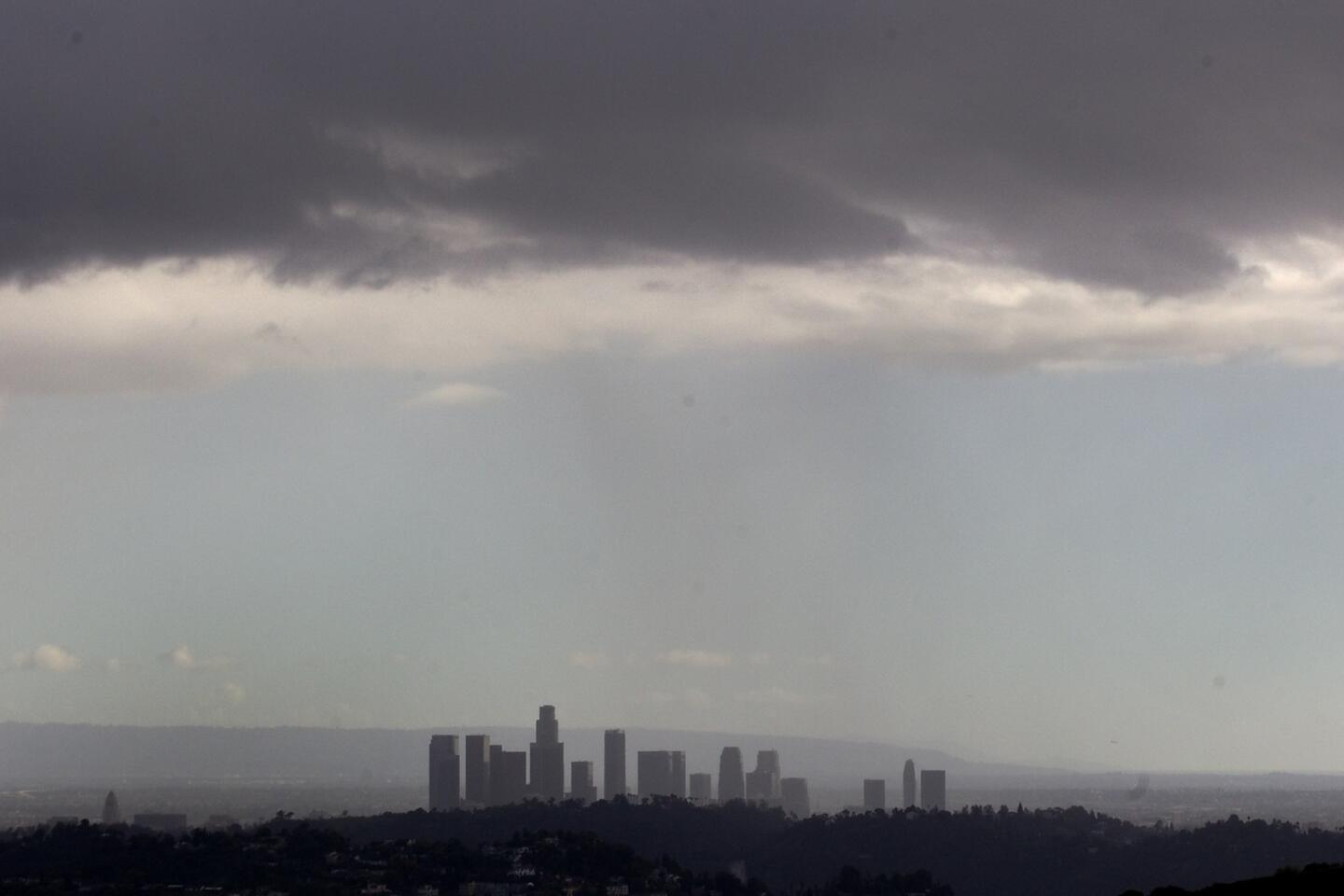

A weather system that produced isolated thunderstorms and brief periods of heavy rainfall Wednesday is expected to sputter on until this weekend, when a heat wave is expected to take hold and possibly push the mercury up to 90 degrees in some areas early next week, forecasters say.
Starting Sunday, daytime temperatures will start climbing rapidly, with highs reaching into the upper-70s at the beaches and possible 90 degrees in some inland areas, according to the National Weather Service.
The “serious warm-up” will last through Wednesday, the agency said in its morning forecast.
Until then, expect cooler-than-normal temperatures, breezy conditions and partly cloudy skies, with a slight chance of rain in some areas, according to the weather service.
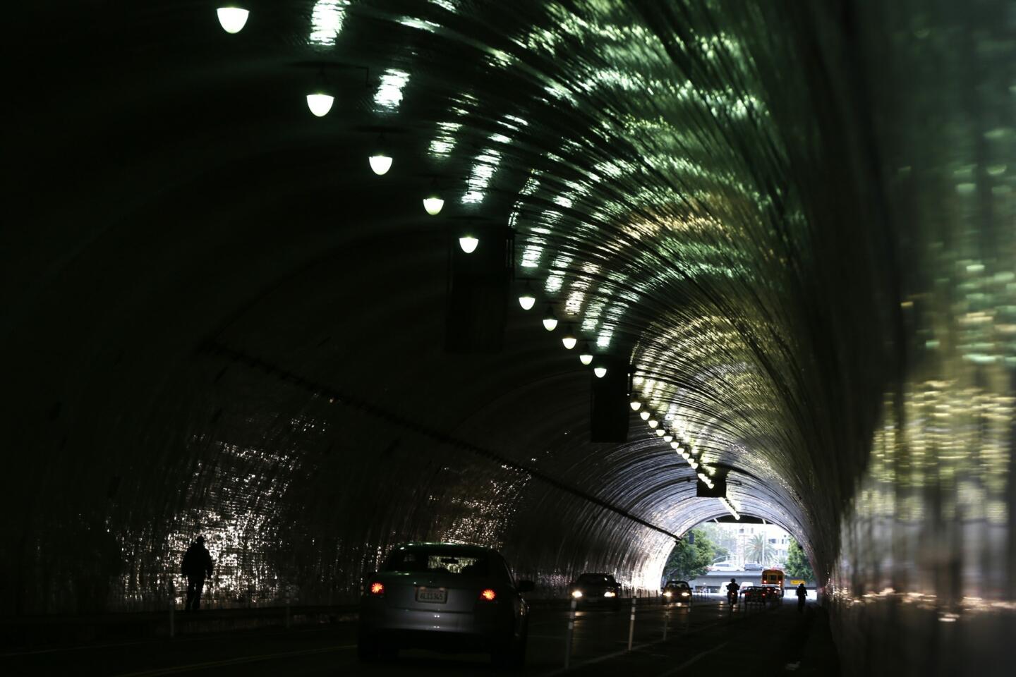
The weather system produced short bursts of rain Wednesday night, accompanied by thunderstorms that were blamed for an outage that left hundreds of customers without power in Sunland.
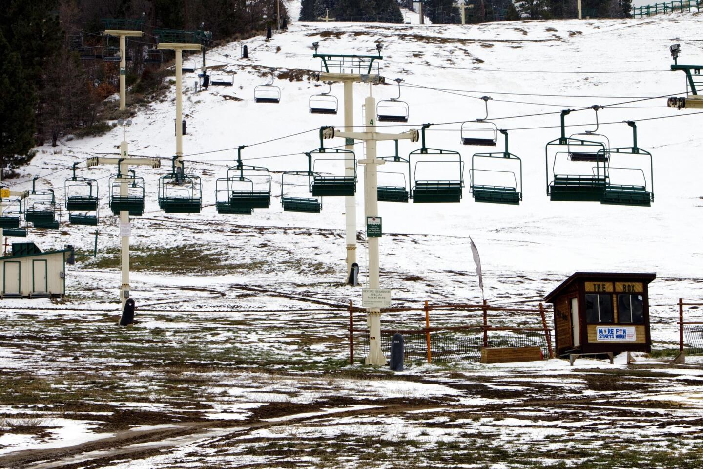
The recent precipitation beyond what is typically considered the wettest period of the rain season has done little to make up for a prolonged dry spell. According to the National Weather Service’s March roundup, most areas in the region saw just roughly one-quarter to half of the rainfall that’s considered normal for the period. Other areas, such as Lancaster and the Los Angeles International Airport, saw even less.
jason.wells@latimes.com
Twitter: @jasonbretwells | Facebook | Google+


Start your day right
Sign up for Essential California for news, features and recommendations from the L.A. Times and beyond in your inbox six days a week.
You may occasionally receive promotional content from the Los Angeles Times.