L.A. winter strikeout: Once again, back to sun and mid-80s
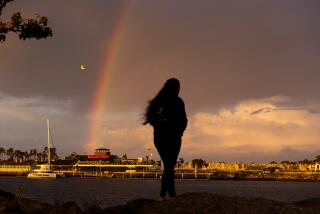
After a brief encounter with winter-like weather, the Southland is headed back to what has become a familiar state: sun and warmer-than-normal temperatures during what is historically an important period for rainfall.
On Tuesday, temperatures are expected to hit the mid-70s to mid-80s across the region’s coastal areas and valleys, according to the National Weather Service in Oxnard. The warm-up should continue through Friday, assisted by a ridge of pressure in the Southwest and a noticeably higher sun angle that provides “a little oomph” to afternoon highs, forecasters noted.
Overnight lows will also be tempered, sticking in the mid-50s range through Friday, the weather service said.
For President’s Day weekend, the L.A. region can expect some clouds and a slight cool down, with daytime temperatures in the upper-60s to mid-70s. Not until mid-next week is there any chance of precipitation, the weather service said.
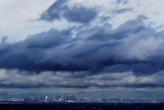
The Los Angeles Basin has largely missed out on what few rain systems have moved into California, where an official drought has been declared.
The north part of the state got a badly needed soaking last weekend, but hardly any measurable precipitation made it as far south as Los Angeles.
At the time the weather system moved through downtown L.A. late last week, normal total precipitation for the National Weather Service’s rain year, which began July 1, would have been 8.71 inches. But L.A. had only received 1.2 inches of rain for the period. And since Jan. 1, just 0.23 inches has fallen, forecasters said.
jason.wells@latimes.com
Twitter: @jasonbretwells | Facebook | Google+
More to Read
Start your day right
Sign up for Essential California for news, features and recommendations from the L.A. Times and beyond in your inbox six days a week.
You may occasionally receive promotional content from the Los Angeles Times.
