NASA image shows extent of Yosemite fire’s smoke plume
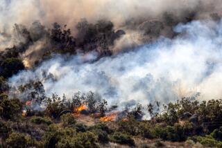
A new NASA satellite image of Yosemite National Park shows a massive tower of smoke billowing up and fanning out from a wildfire that has so far burned thousands of acres and closed off access to Half Dome.
The high-resolution image of the Meadow fire was captured Sept. 7 from the Aqua satellite orbiting 450 miles overhead.
Smoke can be seen billowing over and into Yosemite Valley, just 5 miles east of the park, for the first time since the blaze started to rapidly spread across dry wilderness.
NASA said the red outline in the image depicts “unusually warm land surface temperatures” often associated with fires -- essentially the perimeter of the blaze.
As of Tuesday, the Meadow fire had charred 4,400 acres. Nearly 100 hikers and campers had to be evacuated Monday, many of them by helicopter off Half Dome, as the fire spread, cutting off exit routes.
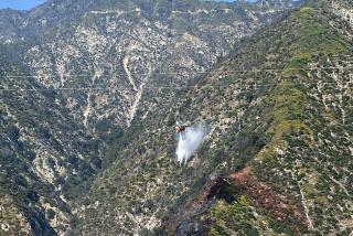
More than 300 firefighters were battling the blaze, which has forced park officials to shut down access to the popular Half Dome peak.
In addition to trails near Half Dome, those in Little Yosemite Valley, Merced Lake, the Sunrise High Sierra Camps, Clouds Rest and Echo Valley also remained closed.
The fire is thought to have been started by one of hundreds of lightning strikes last month, but did not explode in size until Sunday under strong winds. Cooler temperatures and moisture from the remnants of Hurricane Norbert, however, were expected to provide some relief to firefighters.
For breaking news in Los Angeles and throughout California, follow @VeronicaRochaLA. She can be reached at veronica.rocha@latimes.com.
More to Read
Start your day right
Sign up for Essential California for news, features and recommendations from the L.A. Times and beyond in your inbox six days a week.
You may occasionally receive promotional content from the Los Angeles Times.


