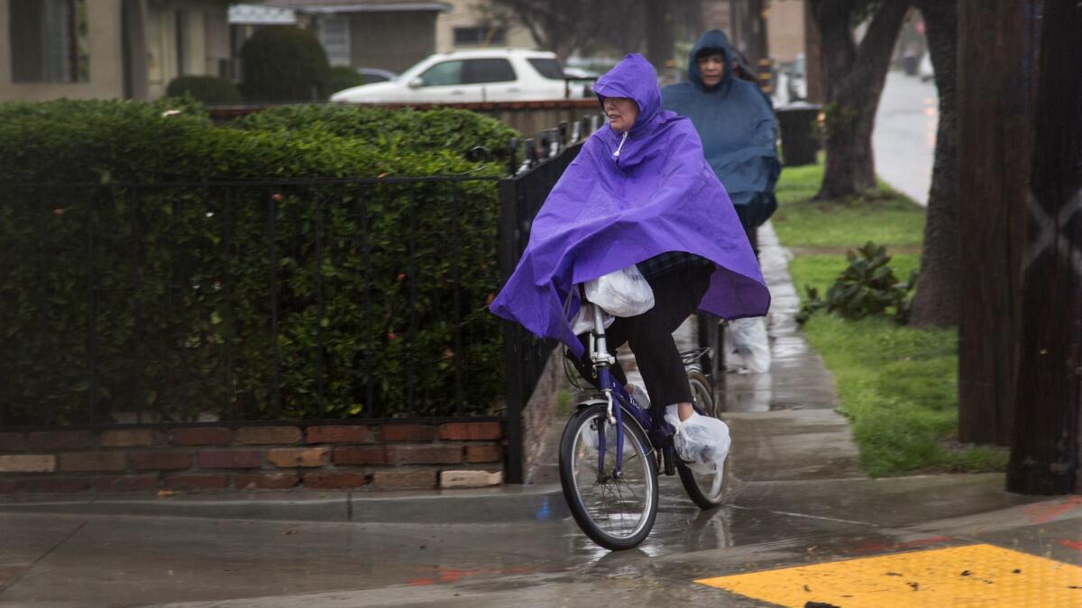
Rain, cooler temperatures headed for the Southland this week

The Southland is in for a cool-down this week as a series of storms moves into the region, bringing rain and possibly thunderstorms, forecasters said.
The first storm is expected to bring light to moderate rainfall throughout the region on Tuesday, according to the National Weather Service. A half inch to 1 inch of rain is expected along the coasts and in the valleys, and 1 to 2 inches are forecast for the mountains and foothills.
The chance for rain increases Tuesday night, and by Wednesday, there will be widespread showers with variable rainfall amounts and possible thunderstorms, forecasters said.
“It’s not like the recent storms we’ve had, but it’s still a good springtime storm,” said Stuart Seto, a weather specialist for the National Weather Service in Oxnard.
Thursday is expected to be dry, but another cold front could bring more rain on Friday and Saturday, Seto said.
Precipitation amounts for that storm system are still uncertain, Seto said.
Temperatures this week will be below normal. Tuesday and Wednesday are forecast to be the coldest days, with high temperatures in the low 60s in downtown Los Angeles, Seto said. The normal high temperature for downtown this time of the year is 71 degrees, he said.
High temperatures are expected to be in the 60s for most of the Southland except in the mountains, where it will be cooler, forecasters said.
Wind gusts up to 50 mph in the mountain regions will be possible with the storms, Seto said.
“If you’re going up in the mountains, be prepared for it to be windy,” he said.
Twitter: @haileybranson
More to Read
Start your day right
Sign up for Essential California for news, features and recommendations from the L.A. Times and beyond in your inbox six days a week.
You may occasionally receive promotional content from the Los Angeles Times.


