Storm drenches Southern California: Rainfall totals by city

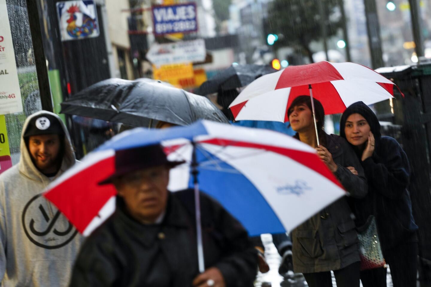
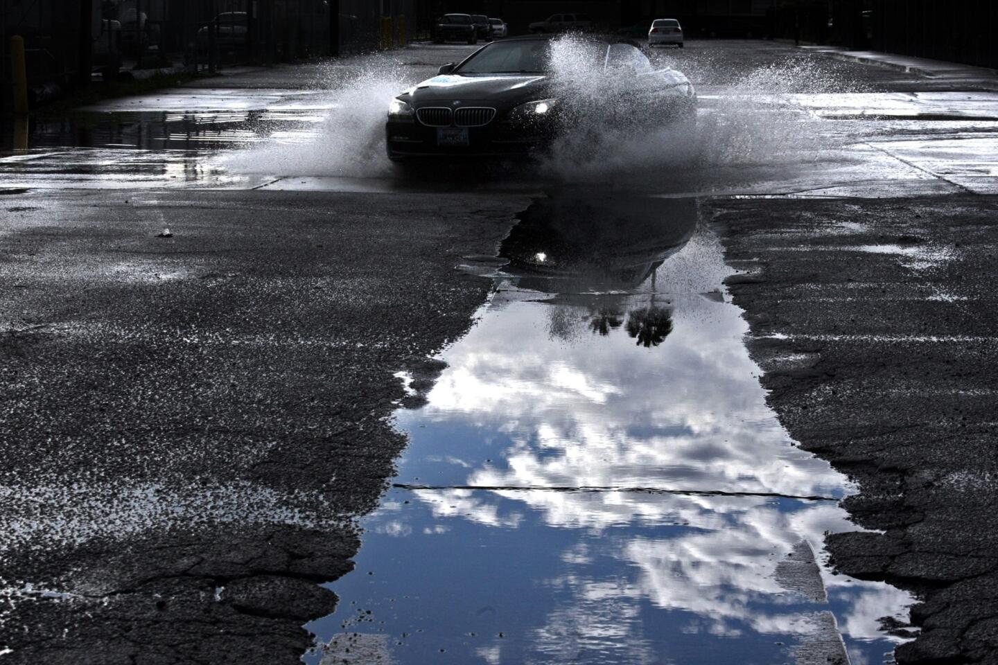
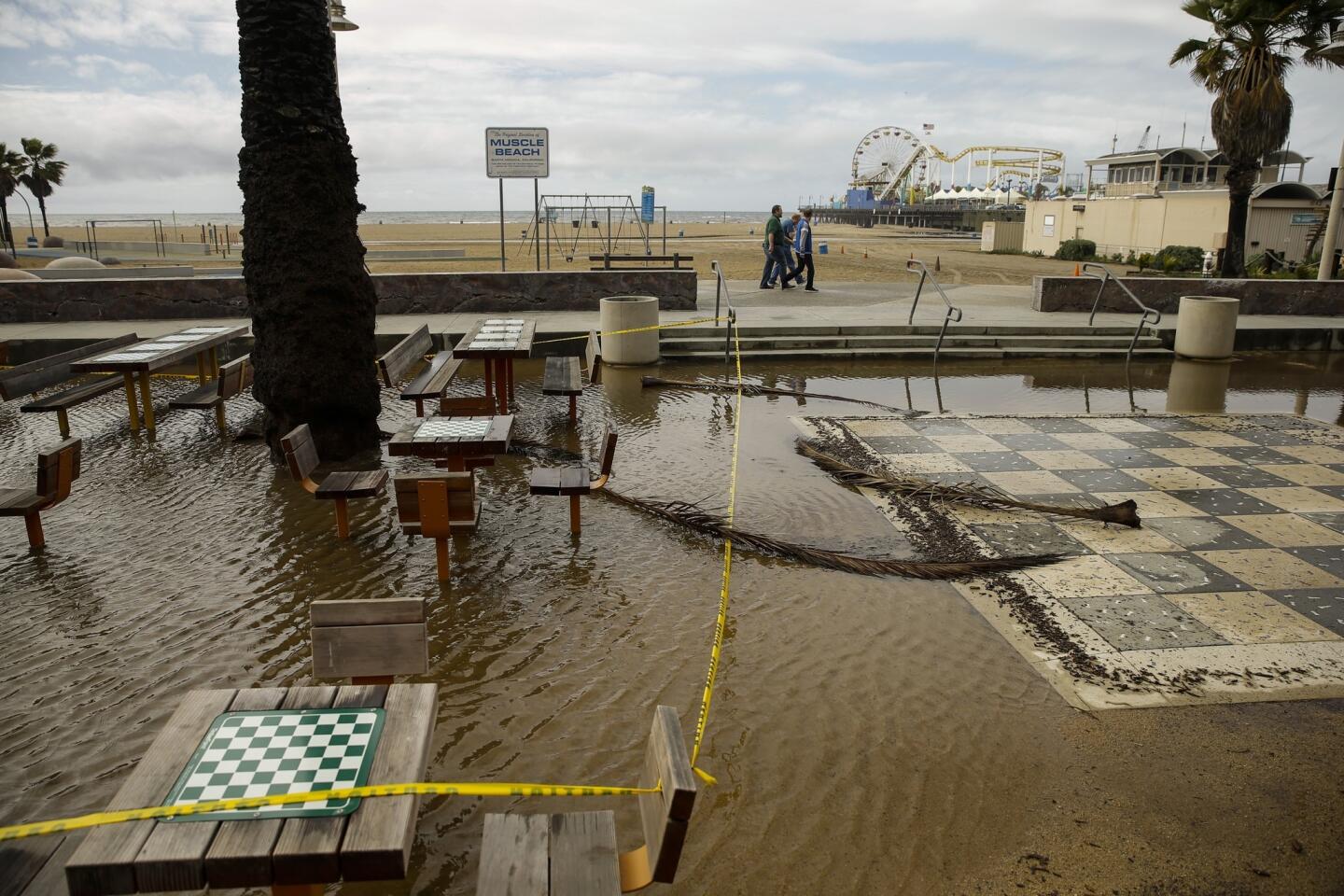
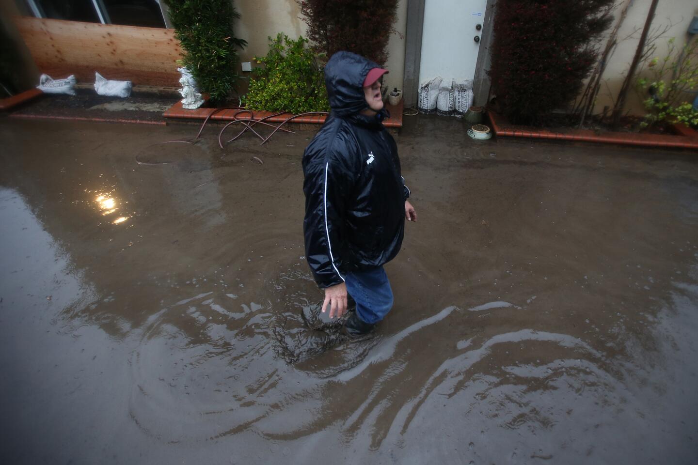
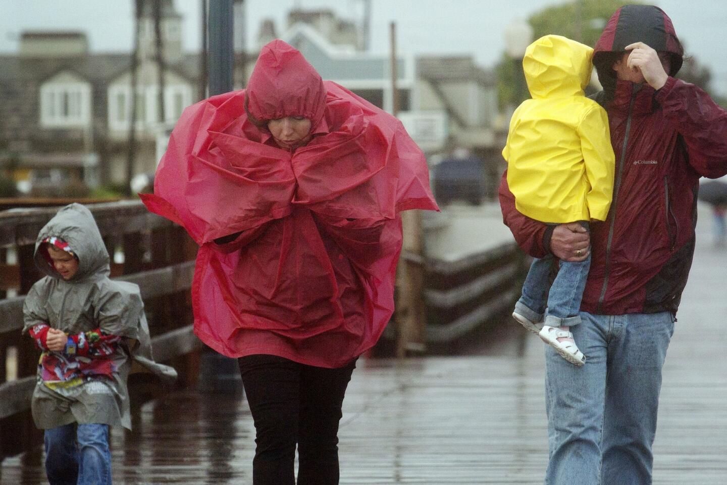

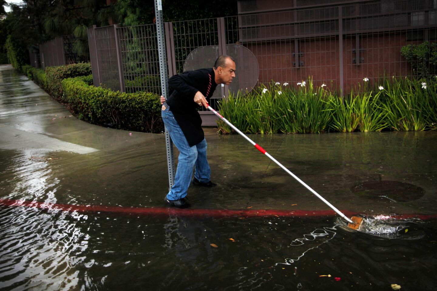

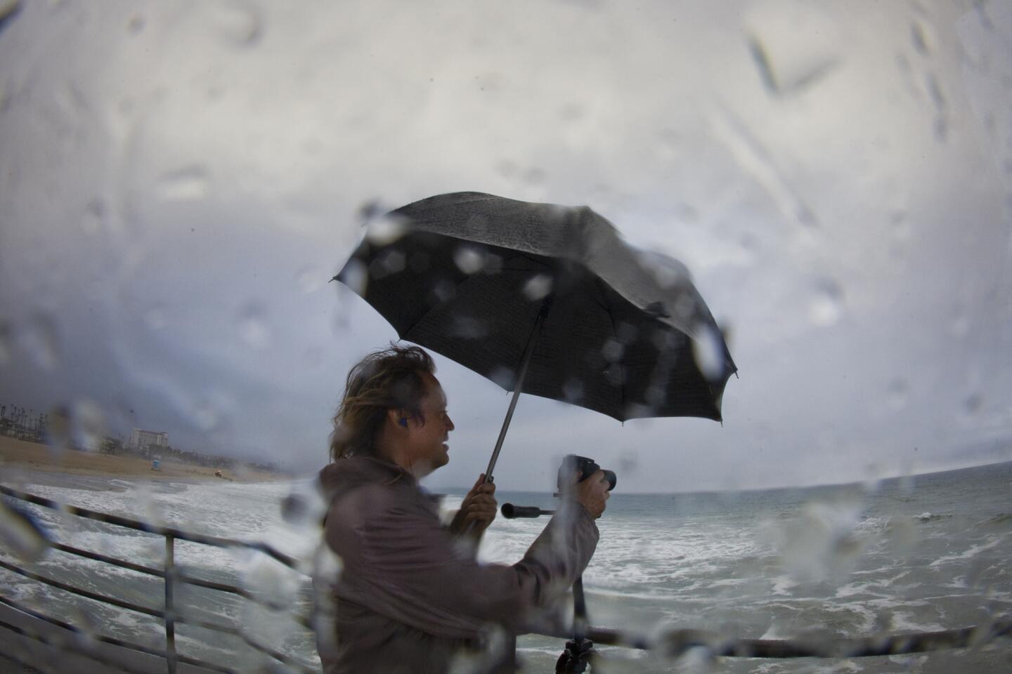
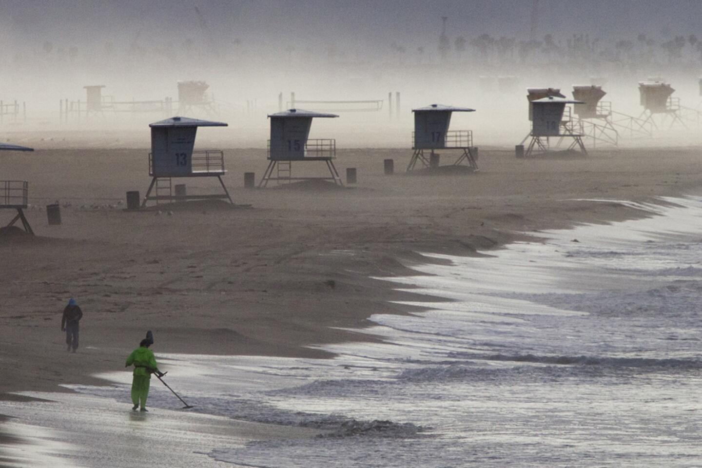
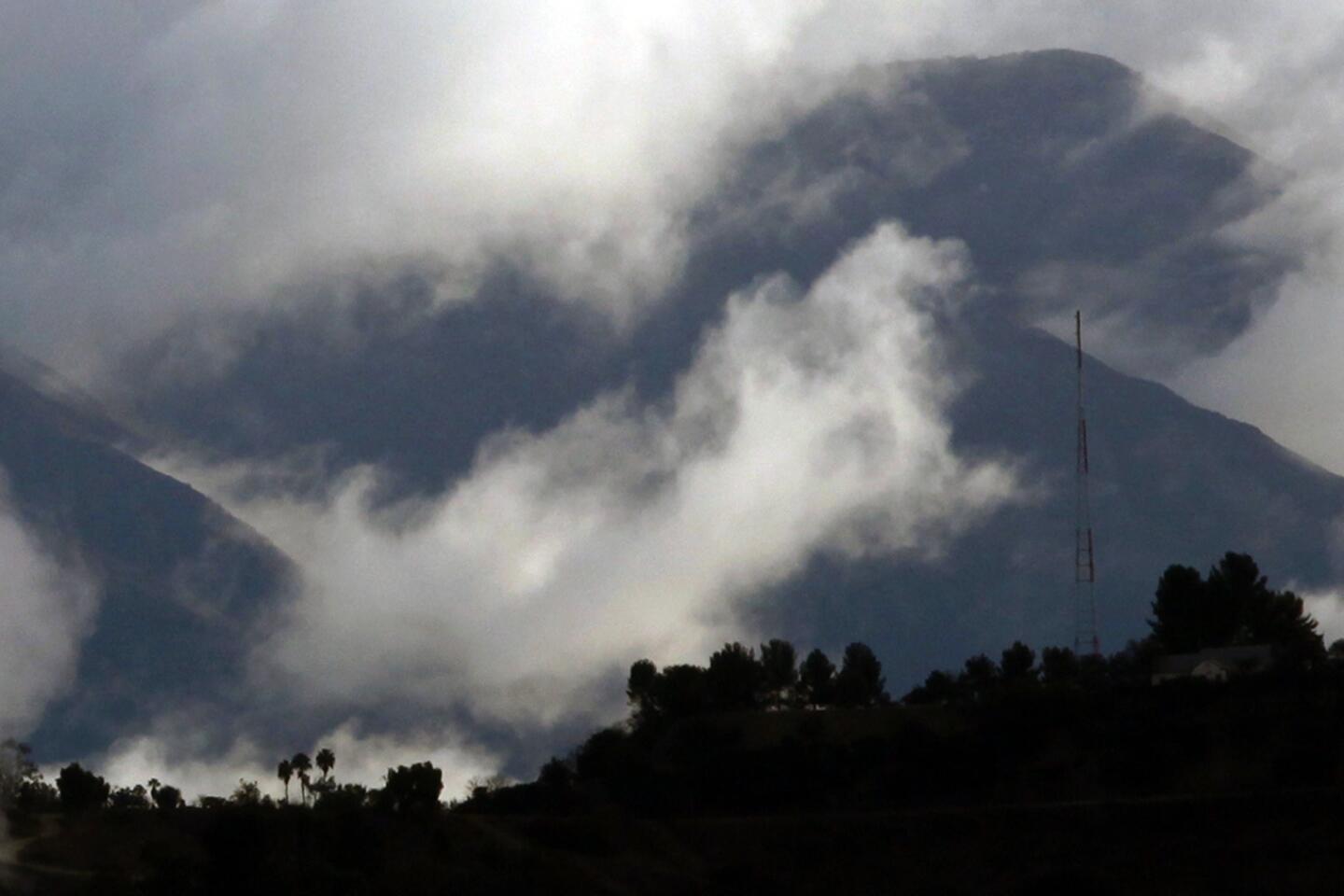

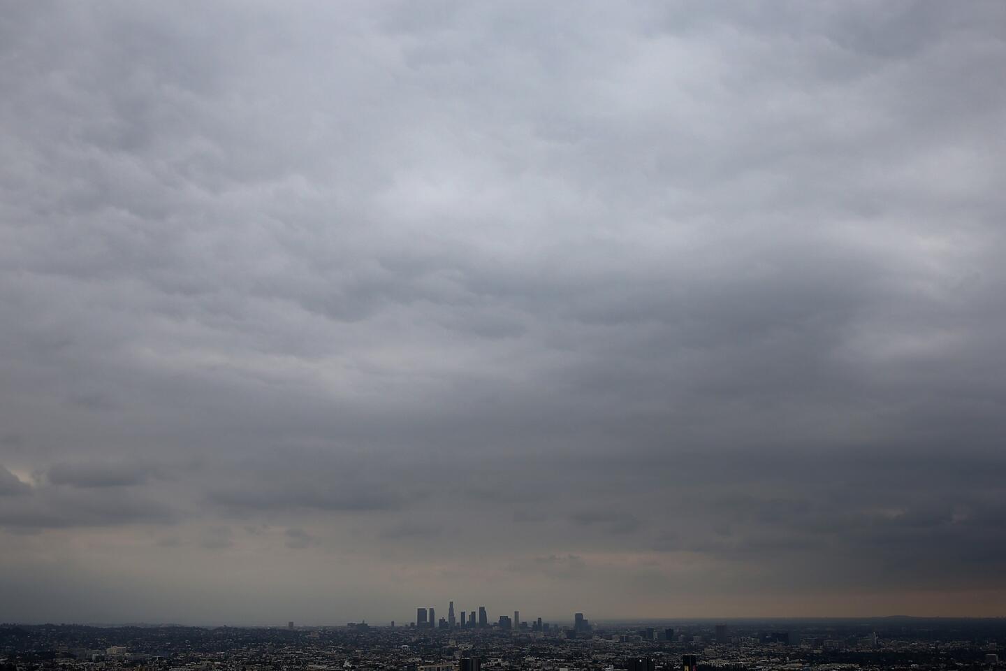
A powerful storm system moving through Southern California Thursday night and Friday morning was drenching the area with much-needed rain.
The National Weather Service reported six-hour rainfall totals ending at 8 a.m. Friday, with many spots registering more than an inch of rain. Here’s a sampling:
USC: 1.11 inches
Culver City: 0.72
Malibu: 1.41
Santa Monica: 0.97
Simi Valley: 0.75
Van Nuys: 1.75
Long Beach: 0.66
San Gabriel Dam: 1.86
West Fork Heliport: 2.99
Fullerton: .55
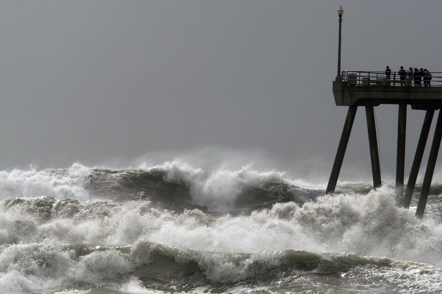
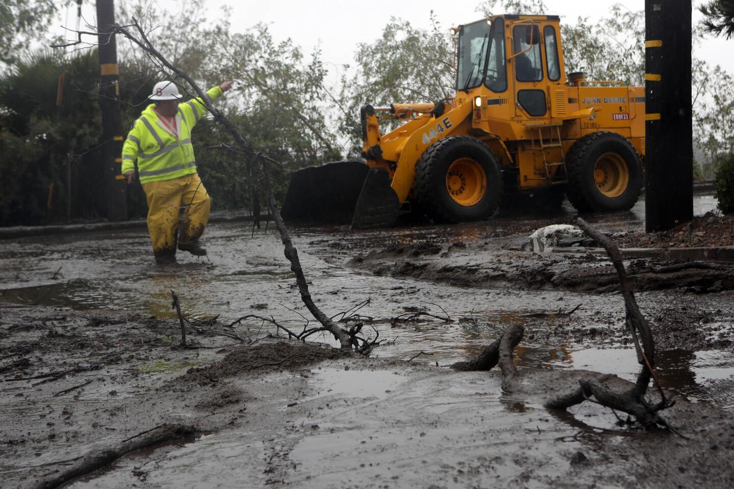
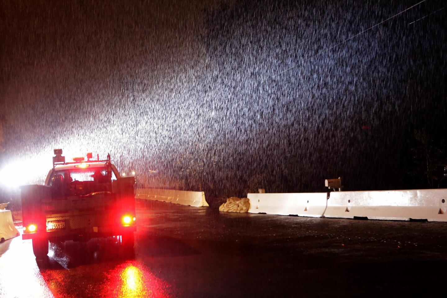
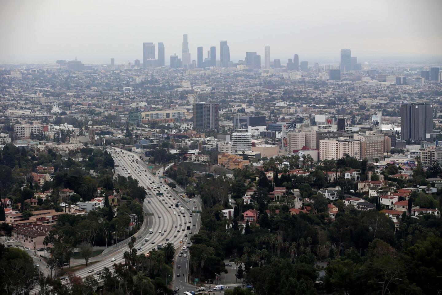
The brunt of the storm is expected to continue pounding the region through the late afternoon. The weather service has issued a flood advisory for much of the coast from Long Beach north to Santa Barbara. A flash flood watch was also issued for nearly the entire Orange County coast and all the way down to the U.S.-Mexico border.
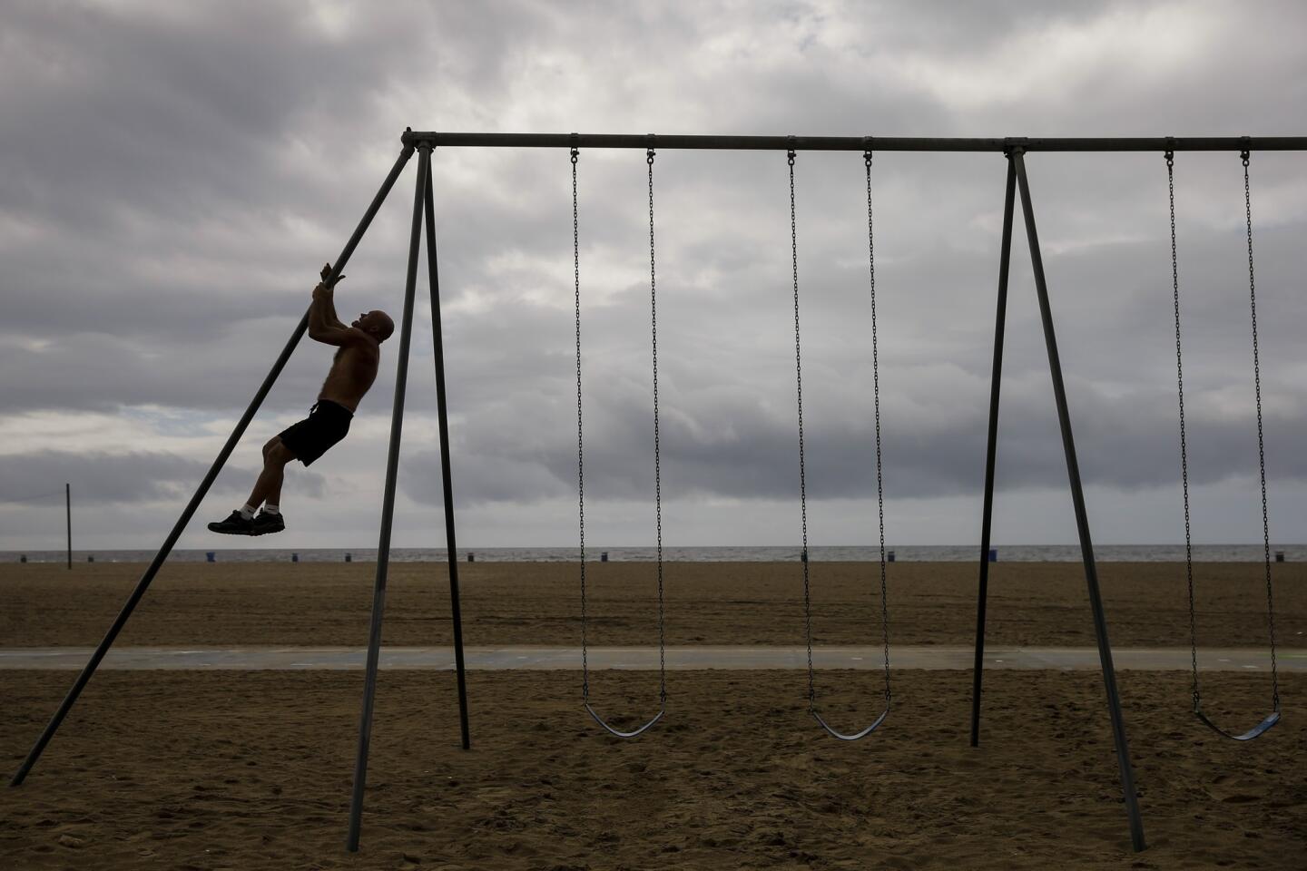
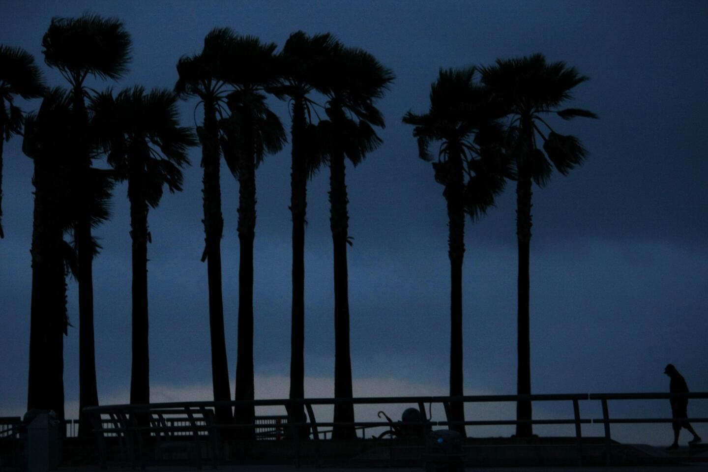
High wind and surf advisories are also in effect for several areas along the Los Angeles County coastline.
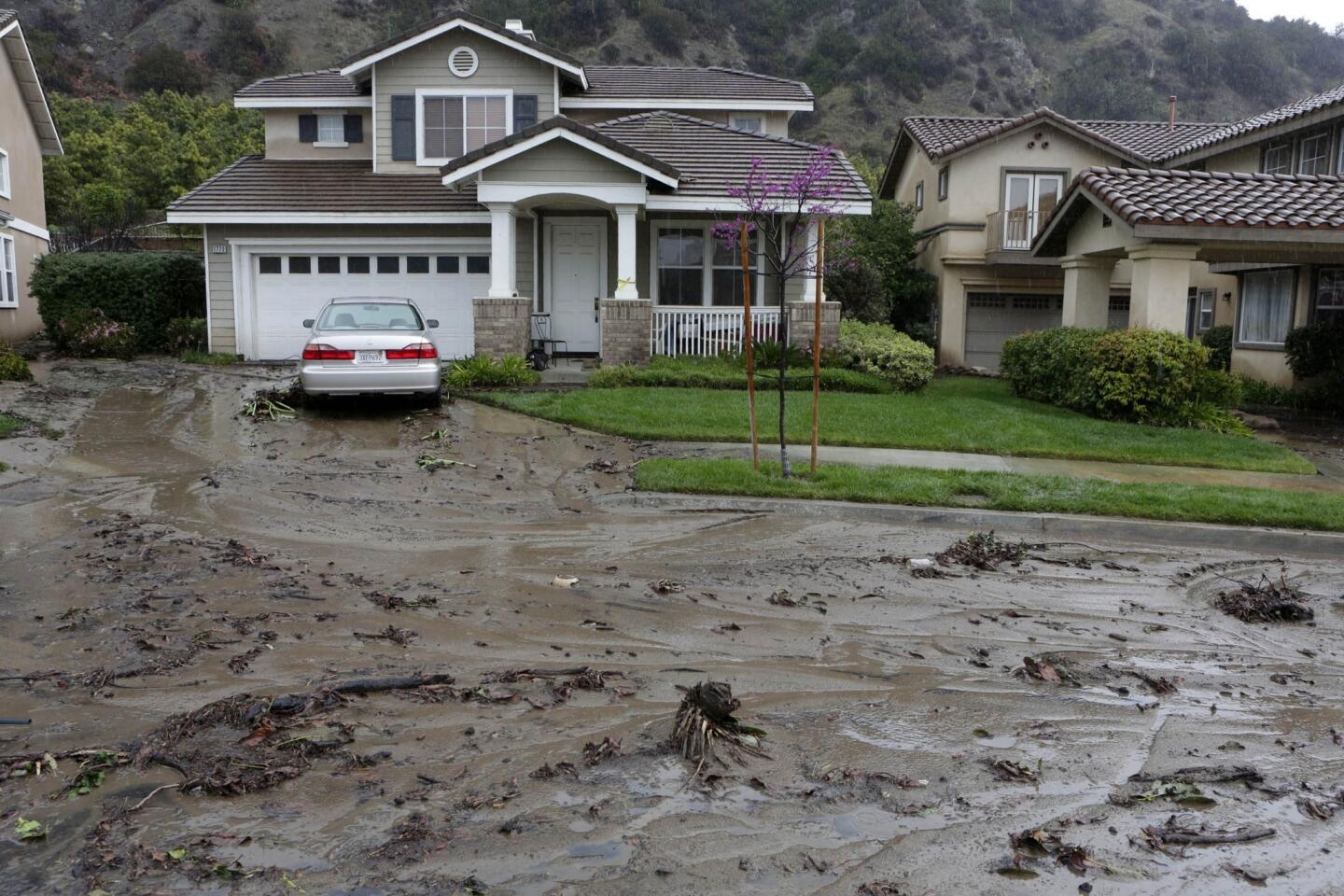
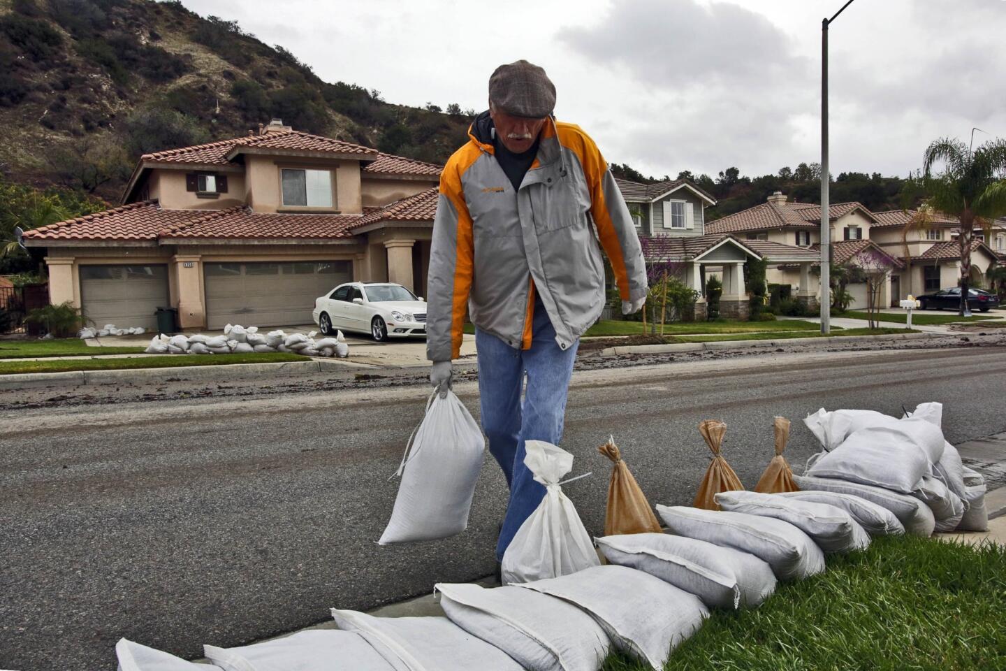
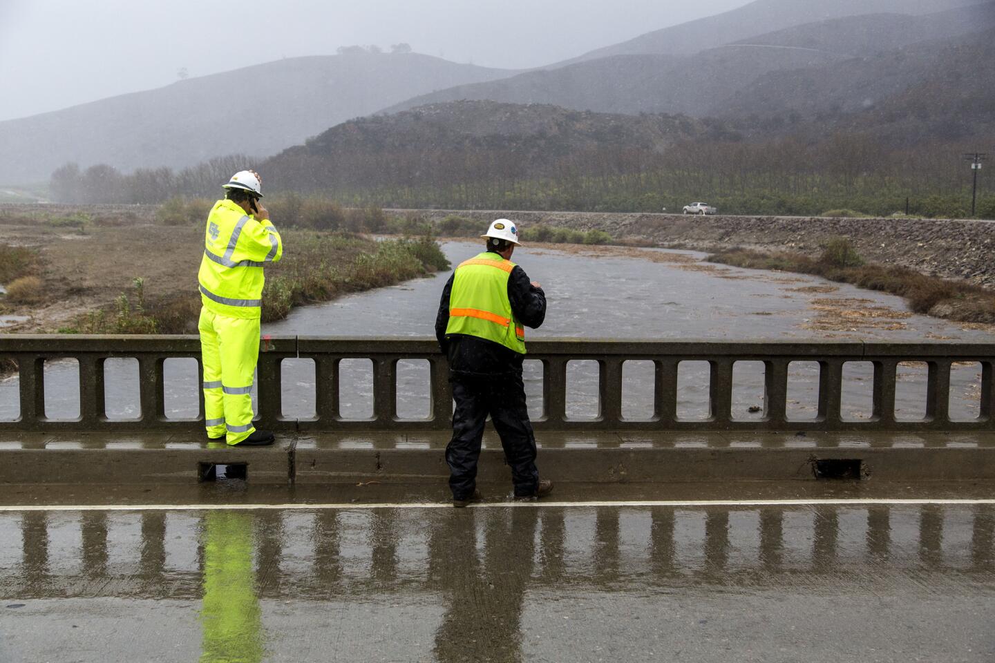
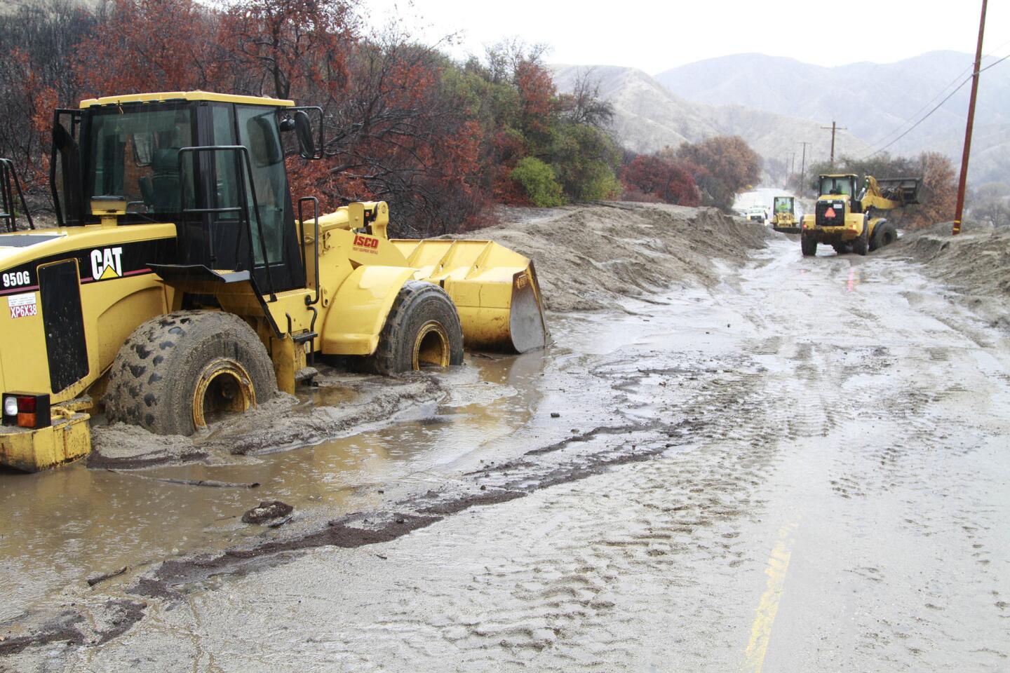
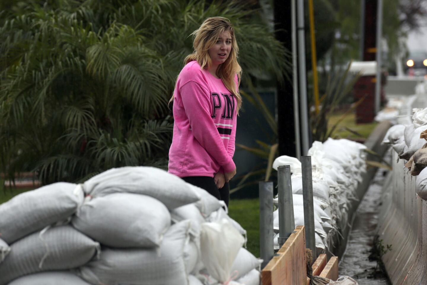
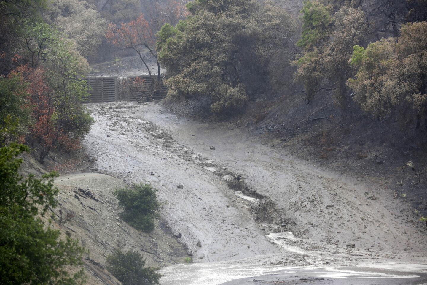
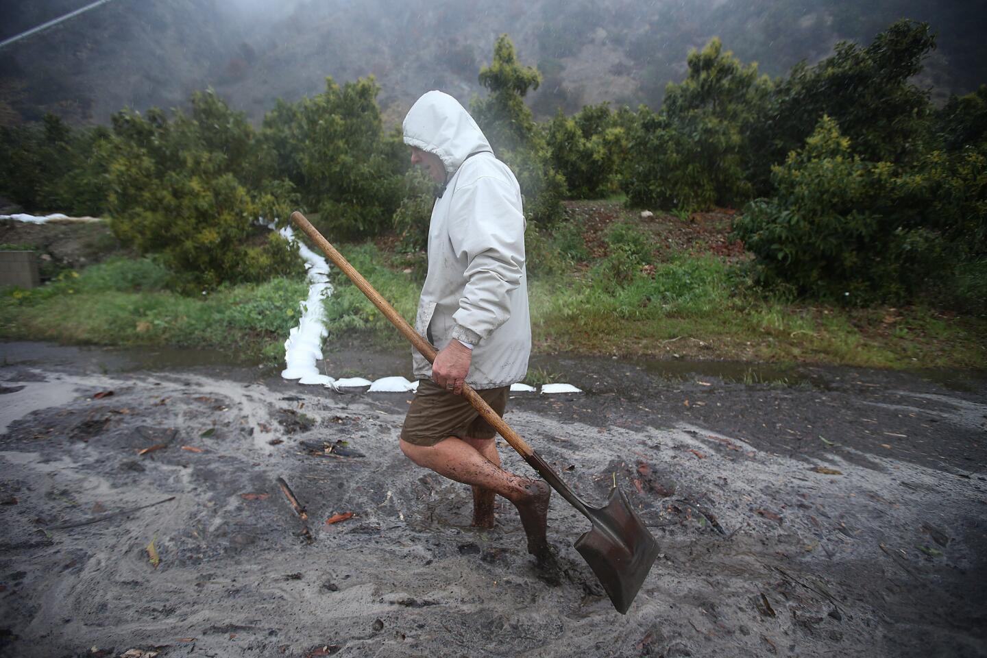
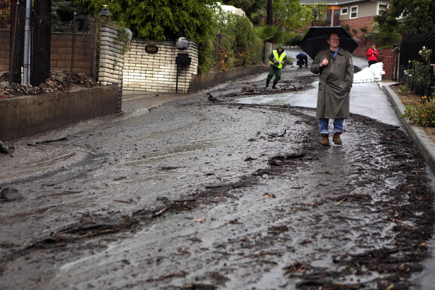
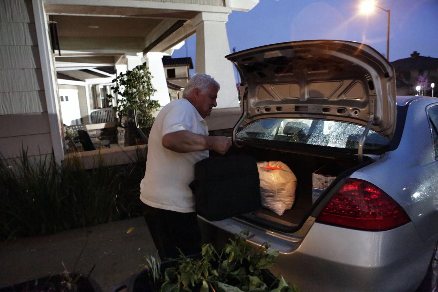
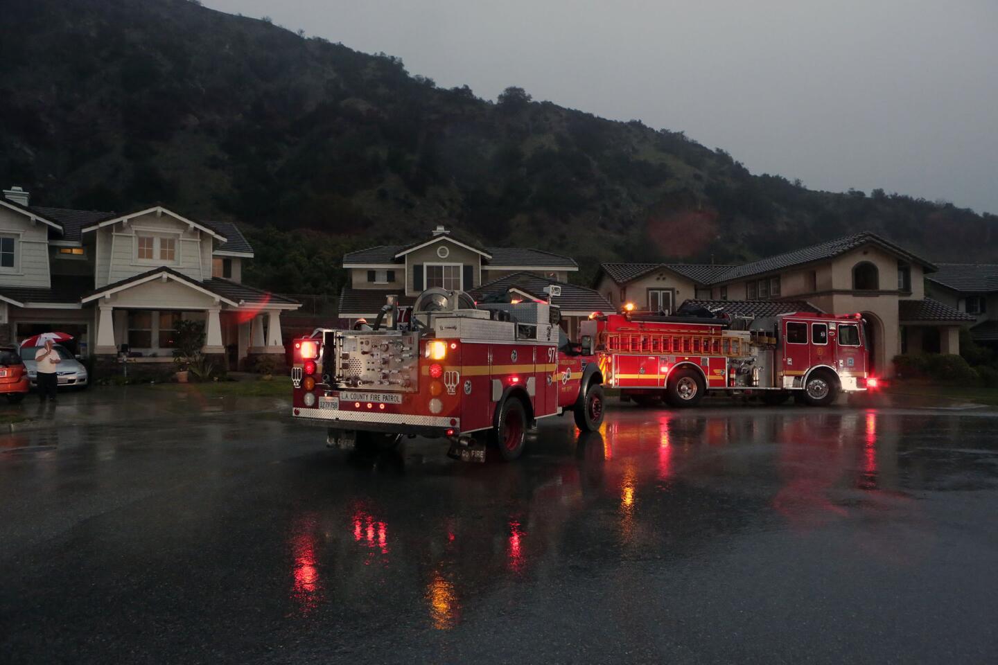
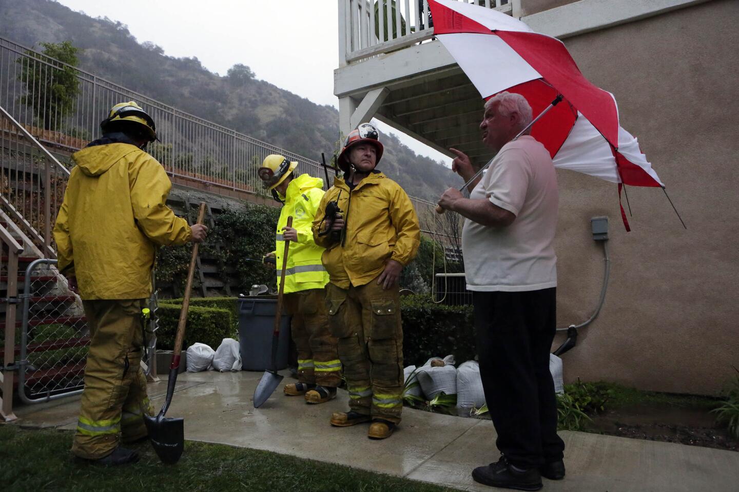
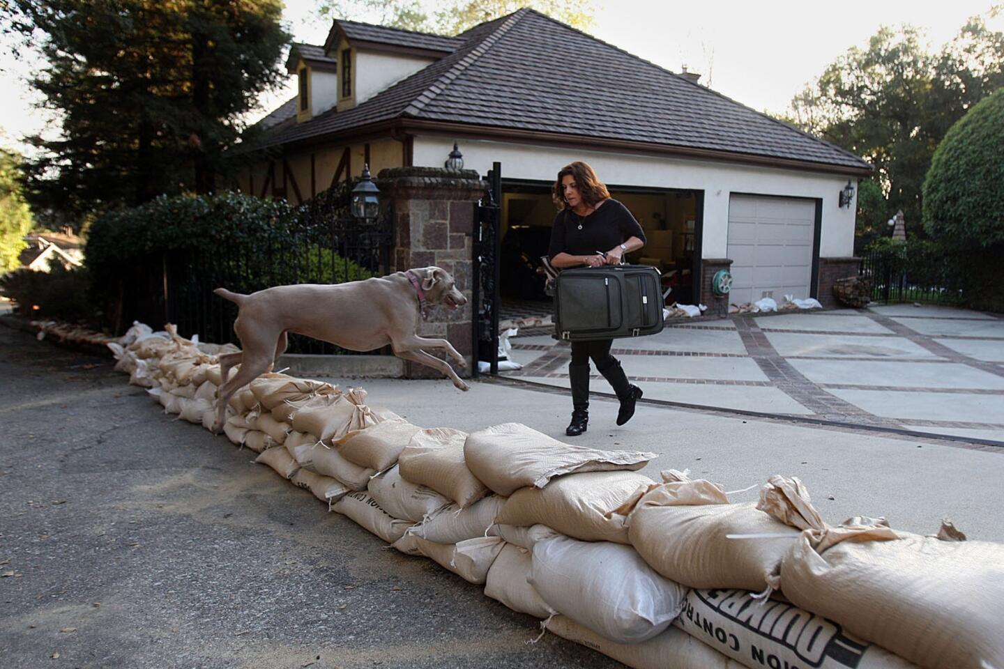
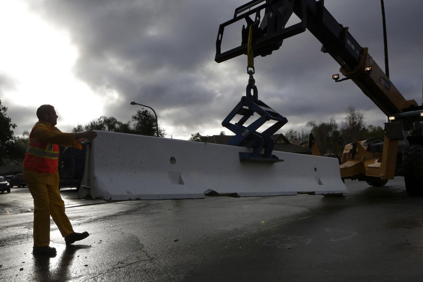
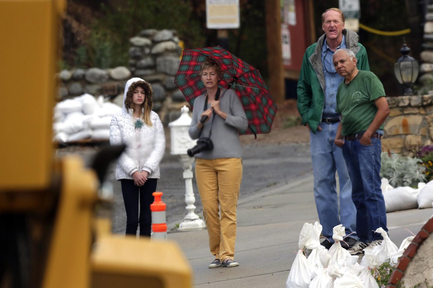
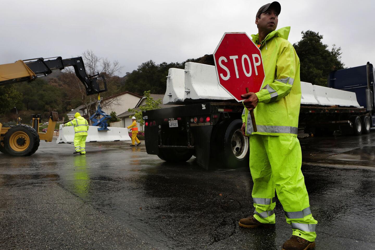
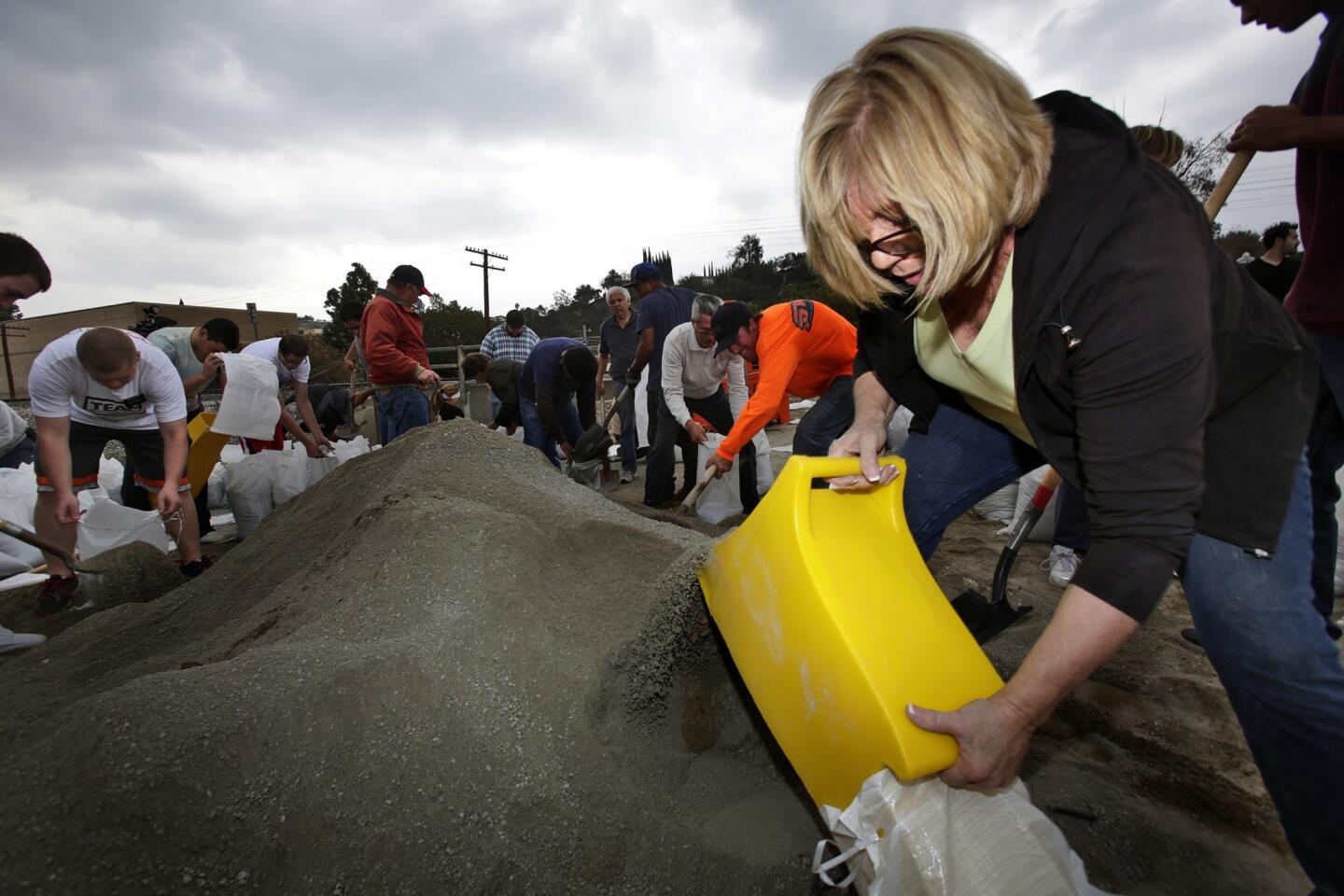
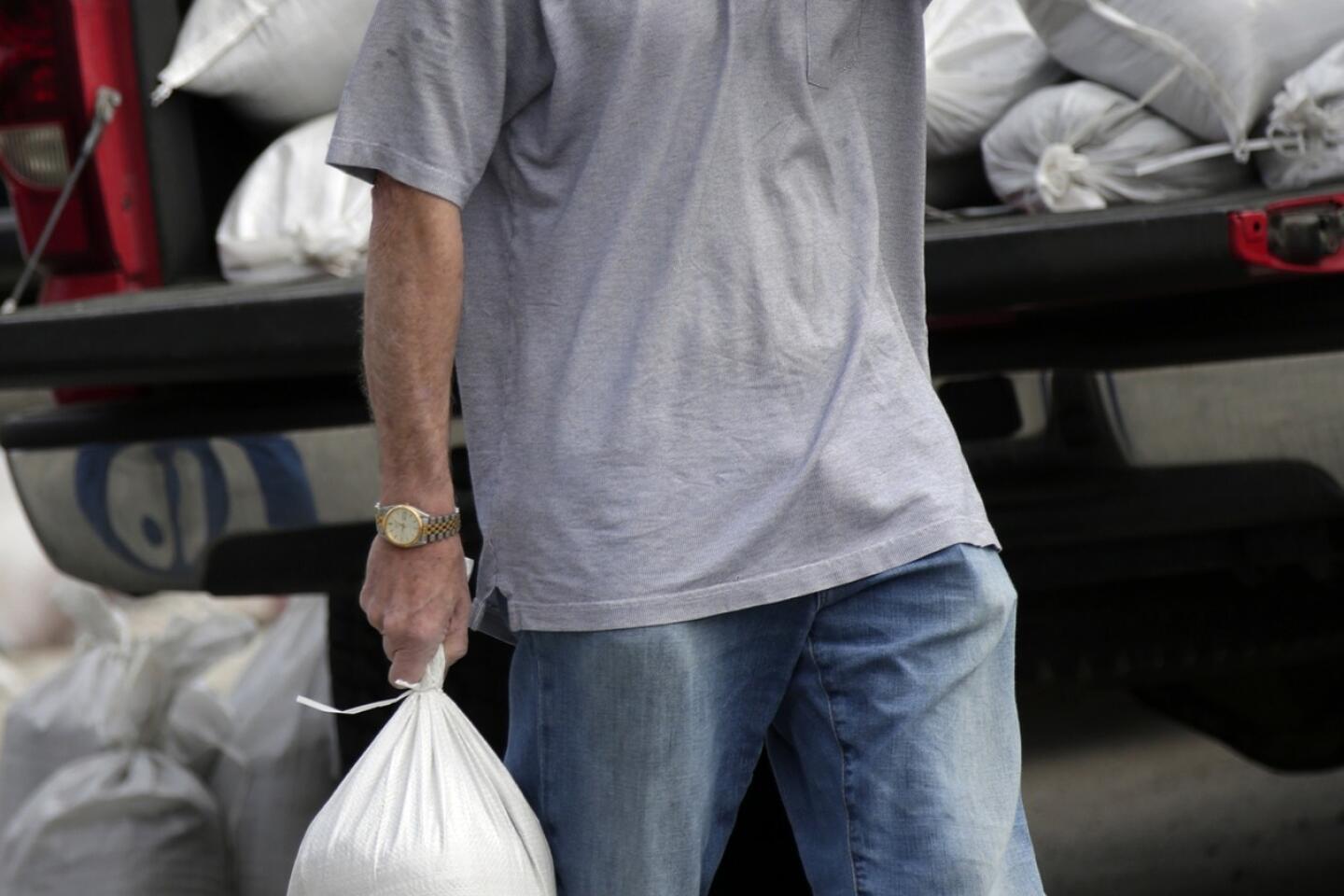
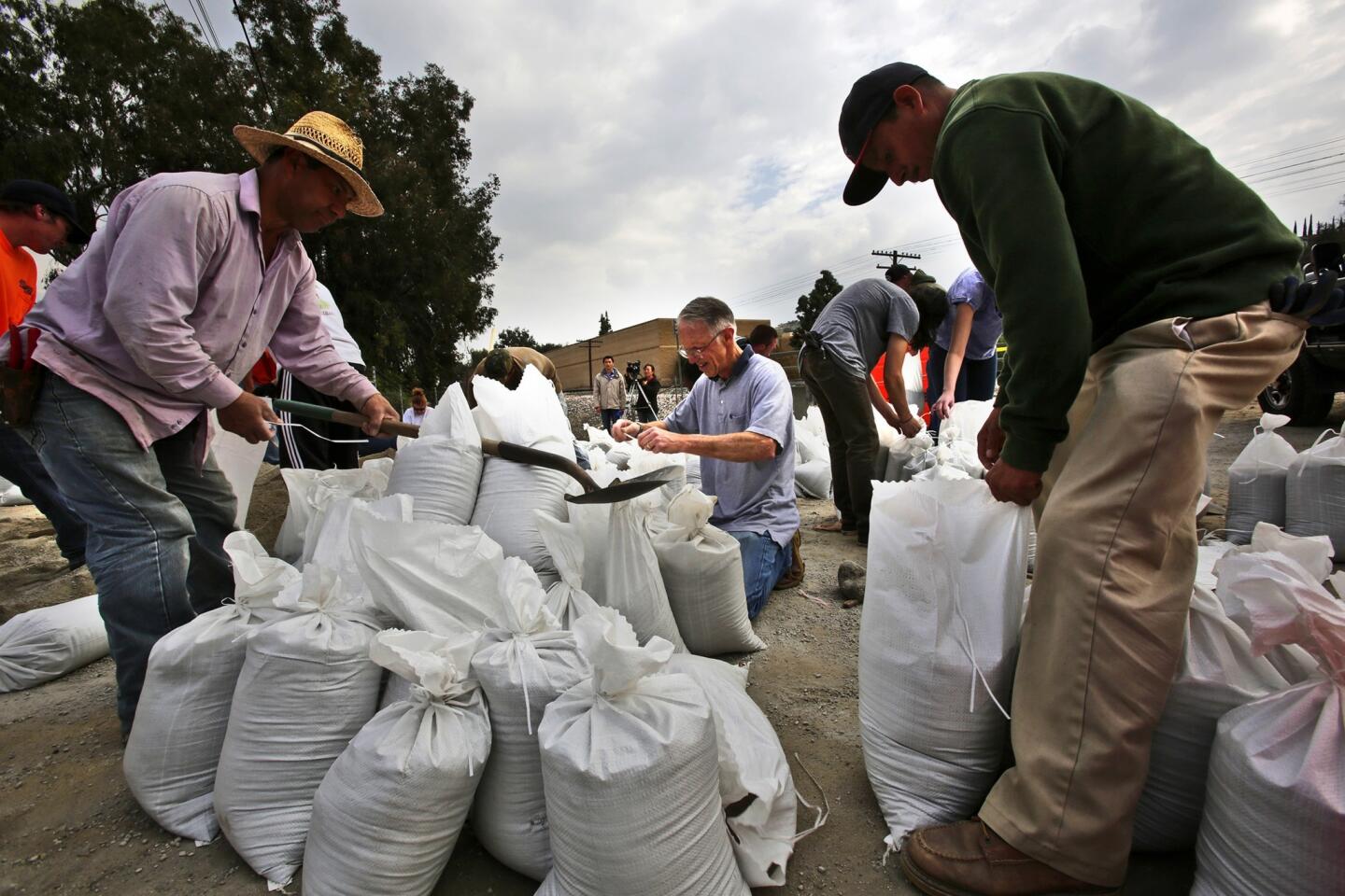
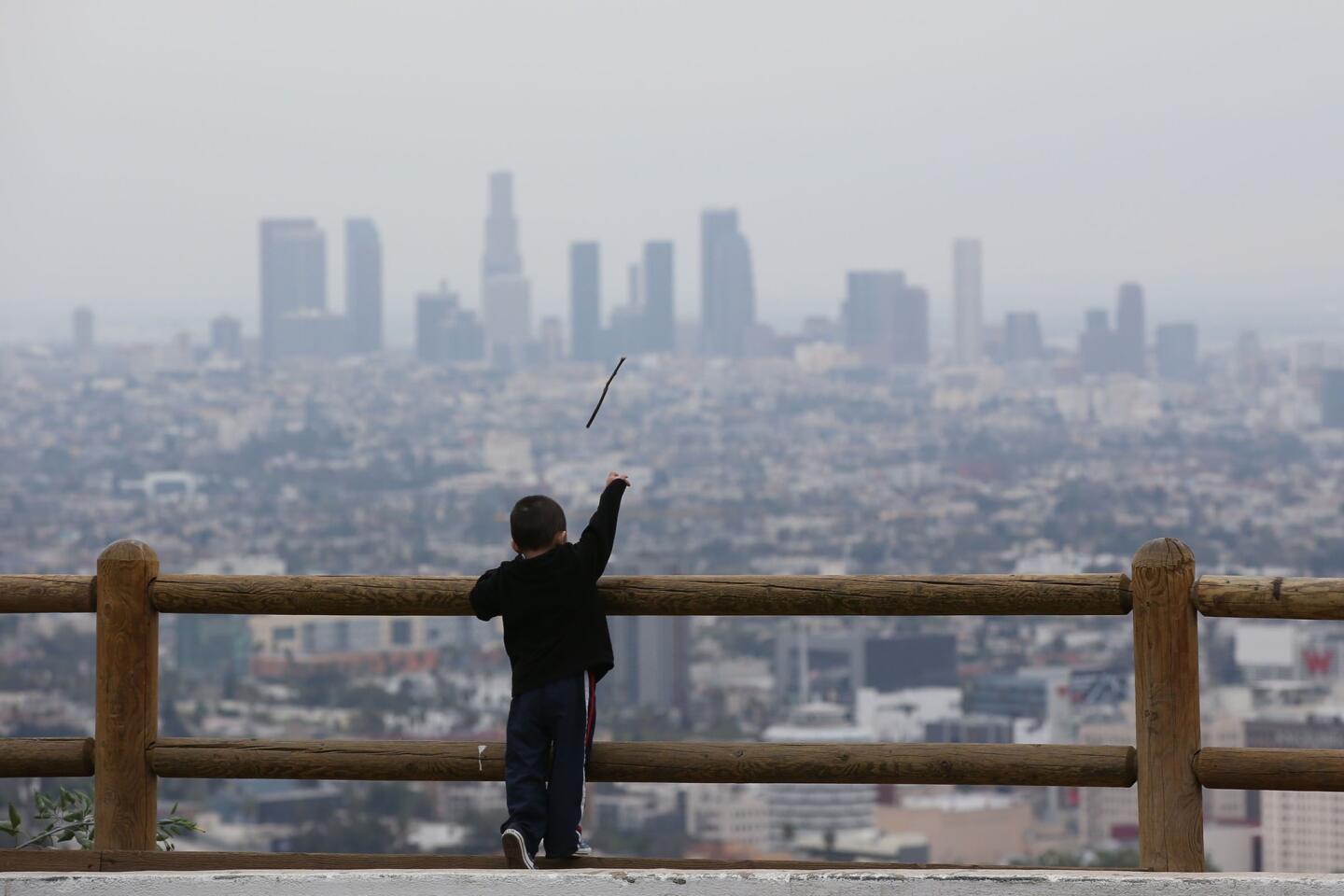
Anticipating heavy runoff from the storm, officials have been scrambling for days to prepare for possible mudslides in areas left bare by recent wildfires.
Up to 1,000 homes in the area affected by the Colby fire in Azusa and Glendora are under a mandatory evacuation order amid fears that mud and debris could inundate their homes. The Glendora Police Department urged residents to leave, warning that they faced “injury and/or death.”
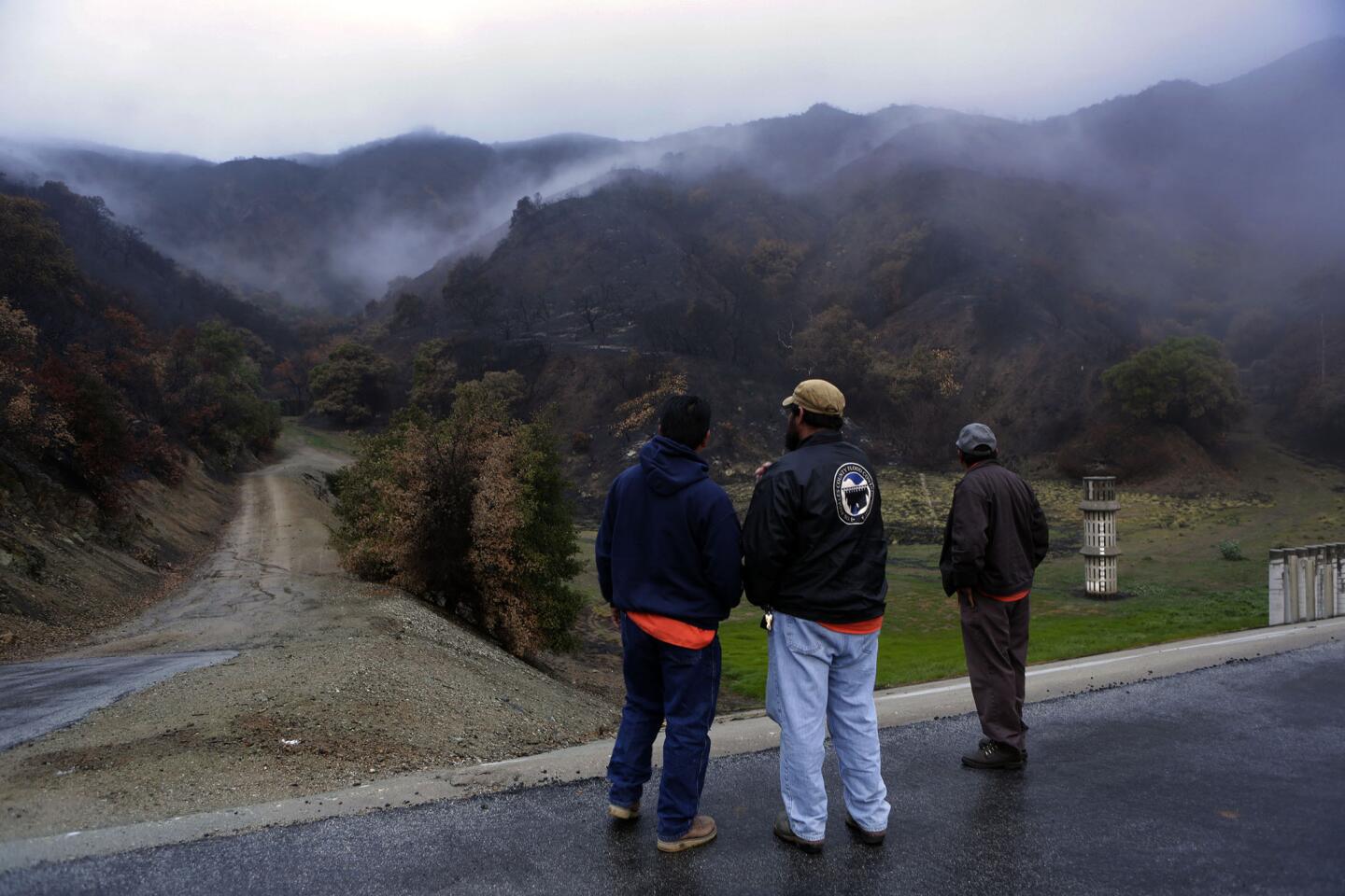
Glendora residents north of Sierra Madre Avenue between Yucca Ridge Road and Glendora Mountain Road must evacuate. In Azusa, the order applies to residents on Ridge View Drive. Both areas are situated below the burn area, which denuded hillsides of rock- and dirt-holding vegetation.
The January wildfire burned more than 1,900 acres and destroyed five homes and damaged seven others.
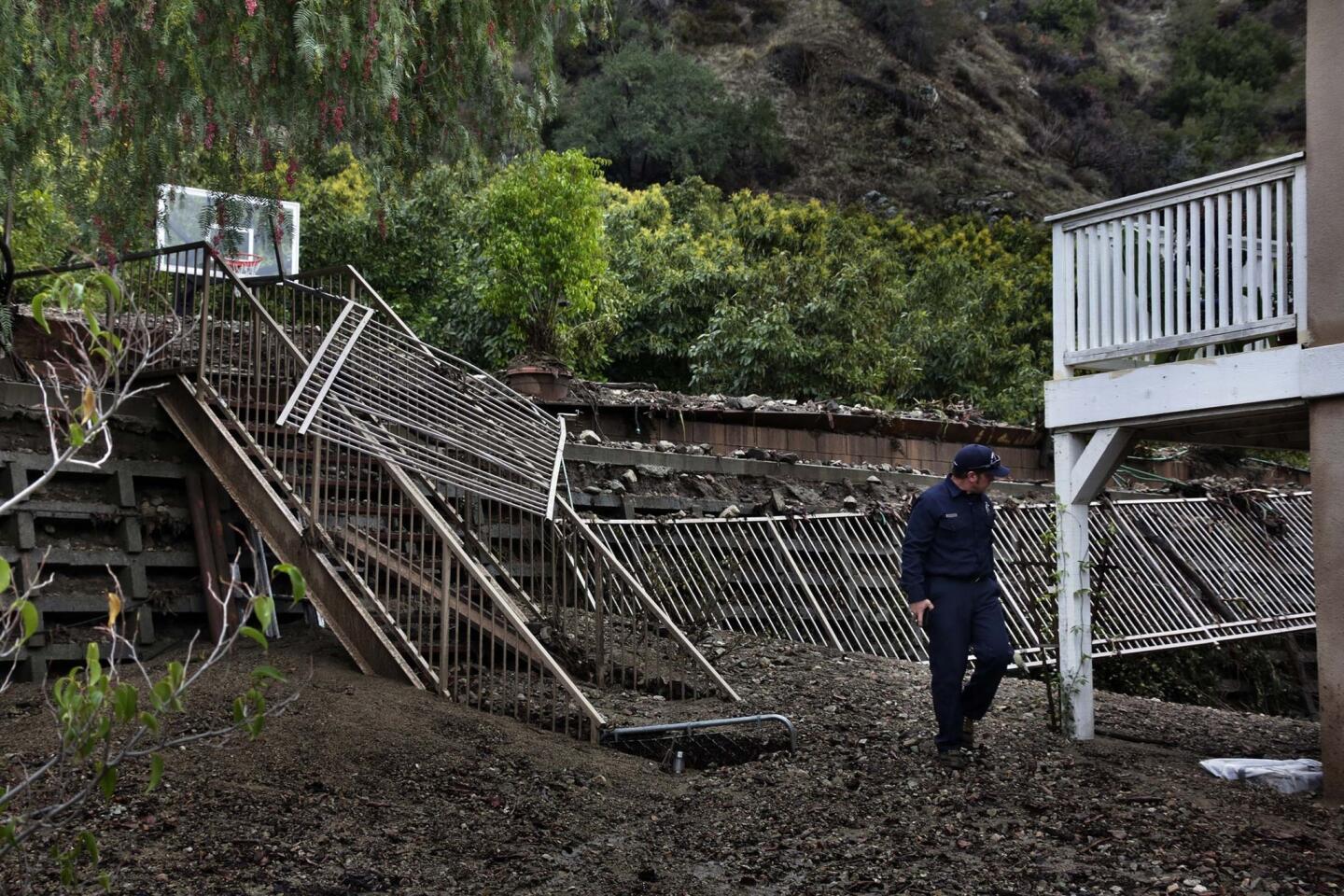
Many local residents recall massive mudslides in 1969 that destroyed 200 homes and killed dozens.
Glendora City Manager Chris Jeffers said the risk is greater now, noting that there are 70% to 80% more structures in the danger zone than in 1969 and that 90% of the hillside vegetation was burned.
Dennis Madvig, 66, said he decided not to evacuate from his Glendora home even though there appears to be a mudslide threat nearby.
Early Friday morning, he walked along Hicrest Road after mud and debris from the hills had rolled down. He said the road was built as a flood control channel after a major flood in the area more than four decades ago.
“This is nothing yet,” he said.
ari.bloomekatz@latimes.com
Twitter: @aribloomekatz | Facebook
ruben.vives@latimes.com


Start your day right
Sign up for Essential California for news, features and recommendations from the L.A. Times and beyond in your inbox six days a week.
You may occasionally receive promotional content from the Los Angeles Times.