Evacuations ordered for Santa Barbara County residents as storm looms

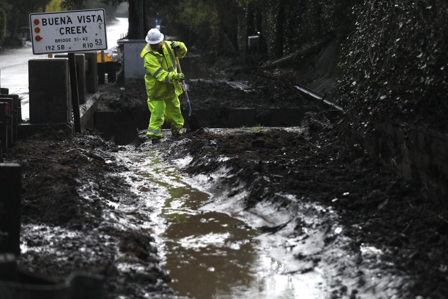
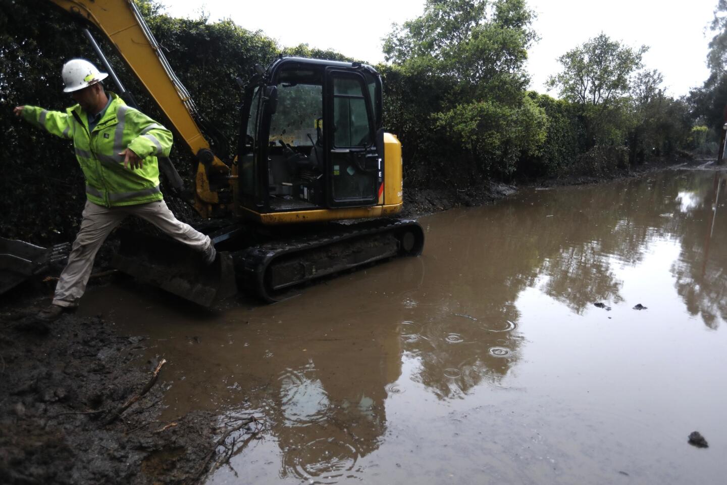
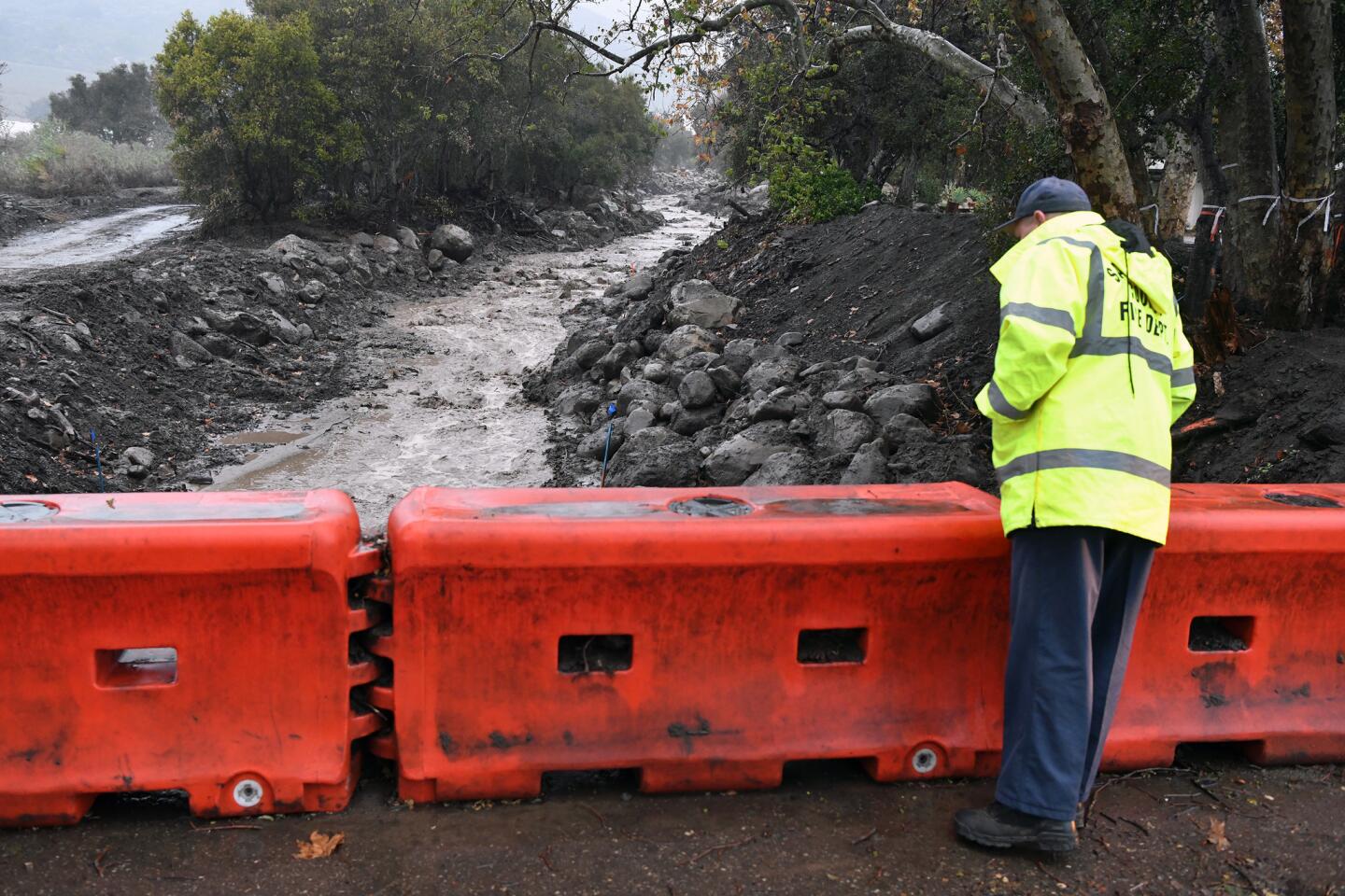
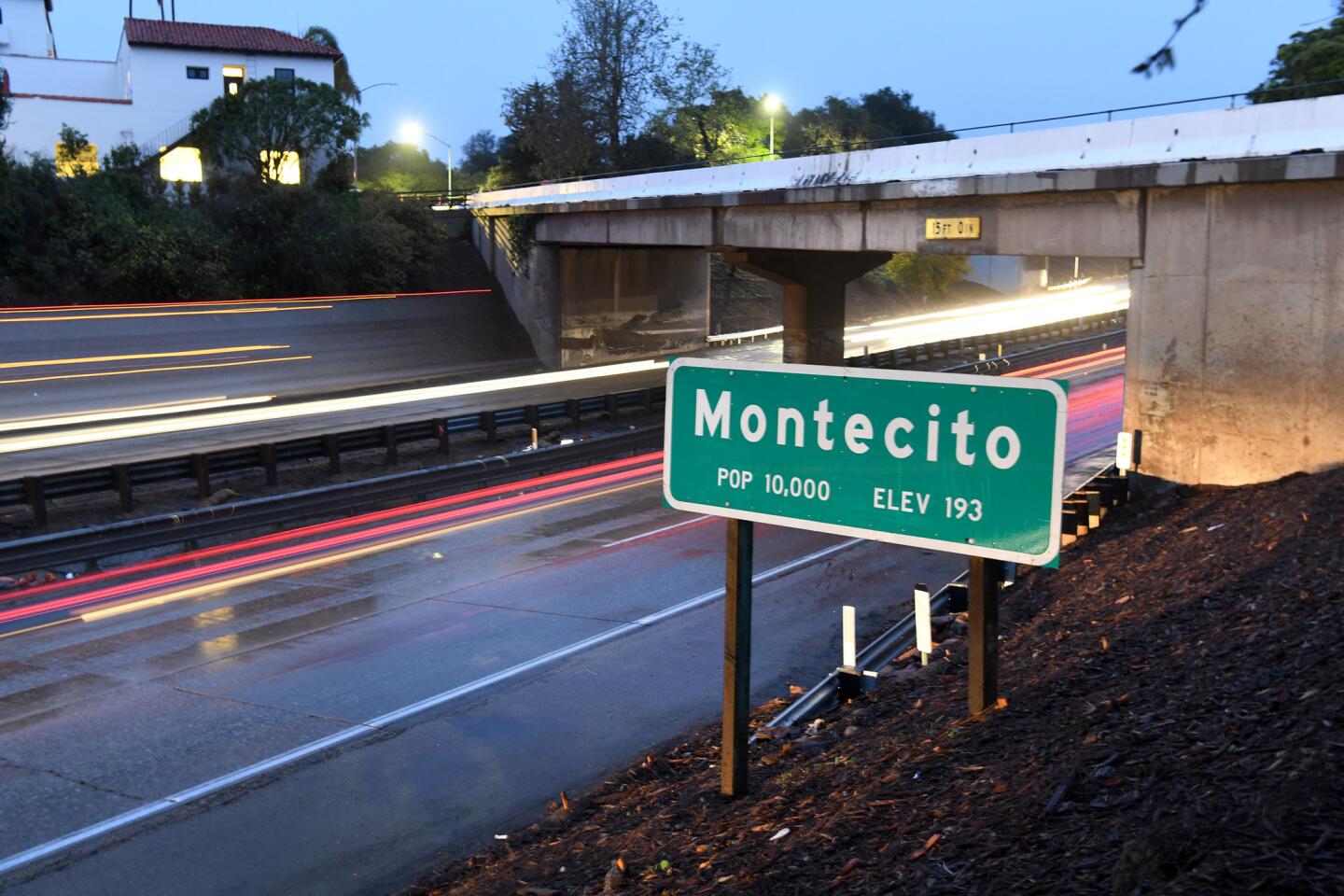


Santa Barbara County authorities ordered mandatory evacuations Thursday for residents in Montecito and other fire-scarred areas, saying an approaching storm could again trigger dangerous flash floods and mud and debris flows.
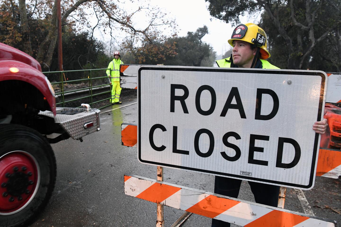
The Santa Barbara County Sheriff’s Office issued the mandatory evacuation order, effective at noon, for individuals near the Thomas, Sherpa and Whittier fire burn areas. The order affects the coastal communities of Goleta, Santa Barbara, Montecito, Summerland and Carpinteria.
People in those areas have until 6 p.m. to evacuate. Officials said the potential for debris flow is low to moderate. The county has posted a map of the evacuation areas on ReadySBC.org.
“Due to the size and breadth of the evacuation area, not all residents will be contacted in person,” Santa Barbara County Sheriff Bill Brown said in a statement. He cautioned residents in affected areas not to wait for deputies before deciding to evacuate. “Everyone should begin the evacuation process now,” the statement said.
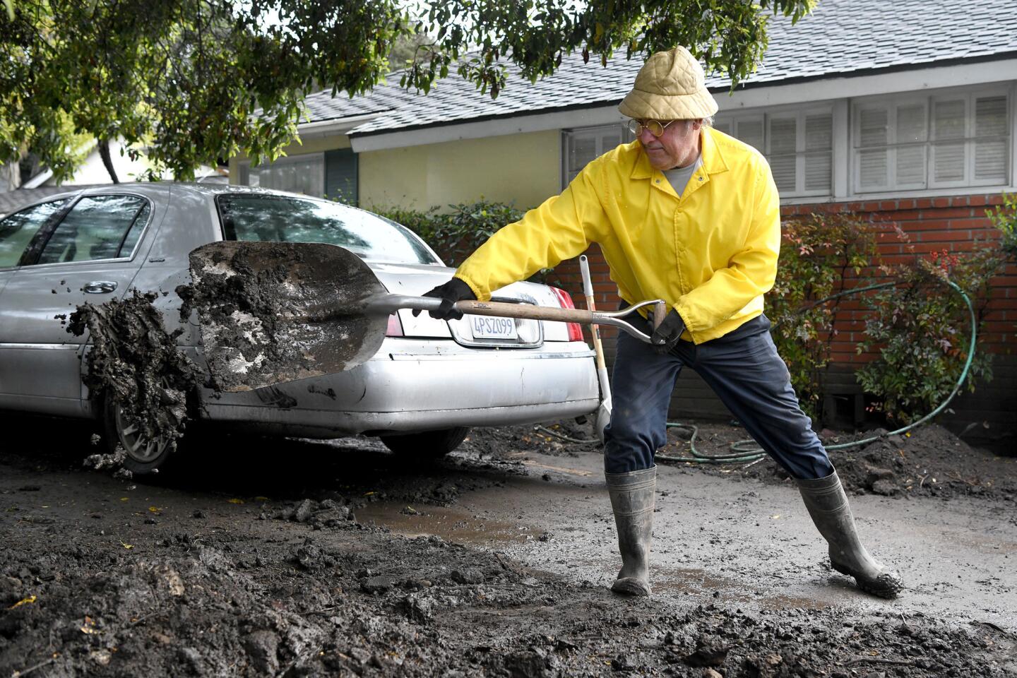
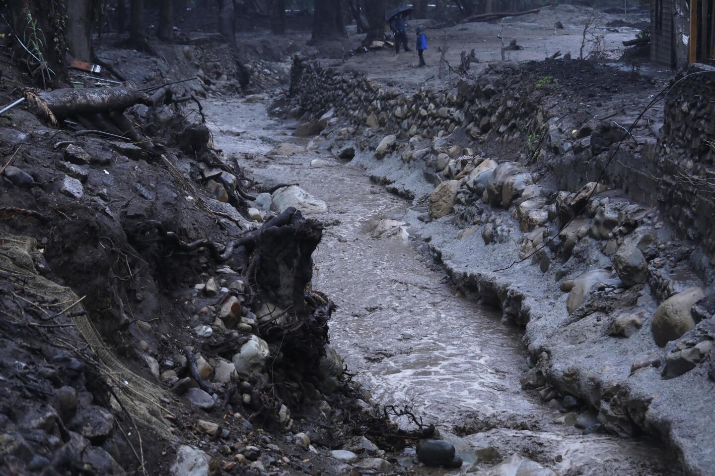
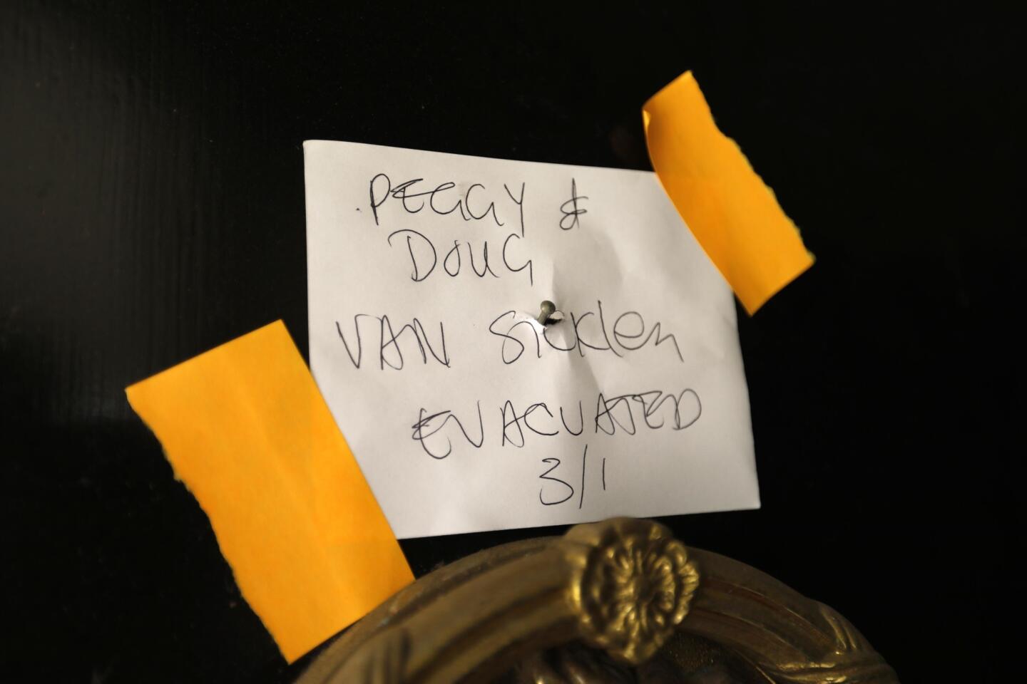
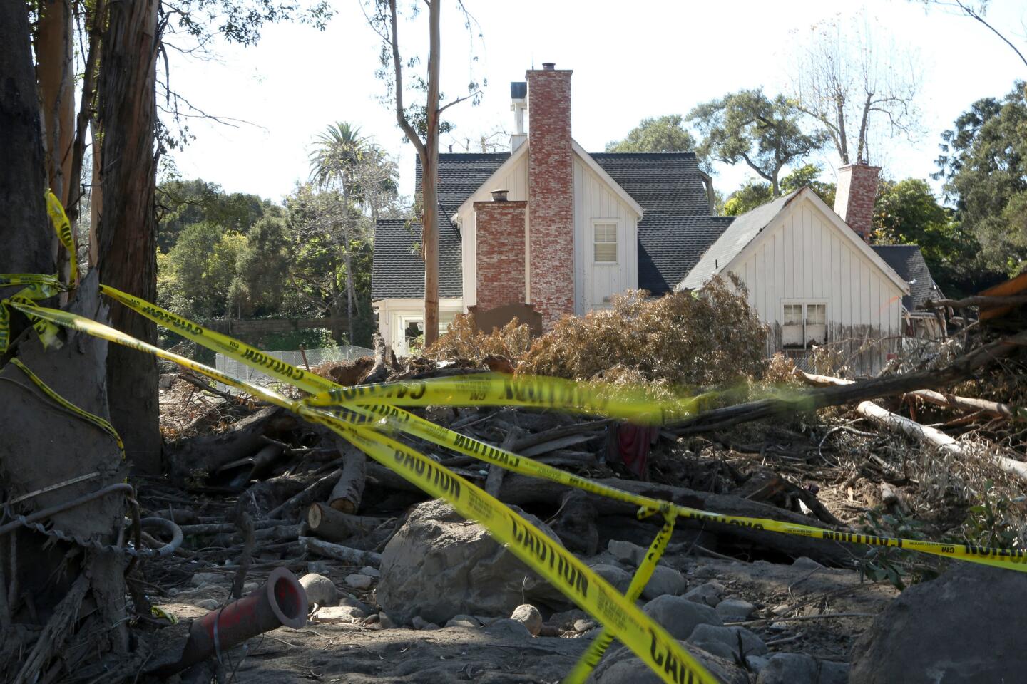
The evacuation order comes barely two months after a Jan. 9 storm poured more than half an inch of rain on Montecito in just five minutes, triggering burn area mudslides that destroyed homes and killed at least 21 people.
Brown told reporters at a news conference that the storm is likely to make landfall at 2 a.m. Friday and could last until about 8 a.m. He said the trajectory of the storm has been difficult to track, making it hard for officials to pinpoint which burn areas will be most affected.
“This is a challenging storm. It’s traveling down the coast of California and it’s gone through Monterey and starting to hit San Luis Obispo,” Brown said. “It’s impossible to figure out where it will hit and where it will be worst.”
Brown estimated that 25,000 to 30,000 people are affected by the mandatory evacuation notice.
On Thursday afternoon, officials started the process of knocking on doors and issuing warnings in communities most at risk, Brown said.
“It is very important to spread the word about this evacuation. Tell family members and friends and help them to evacuate if they need it,” Brown said.
“If you live below these burn areas, you should start leaving now,” he said. “Due to the potential danger, we want everyone out before nightfall.”
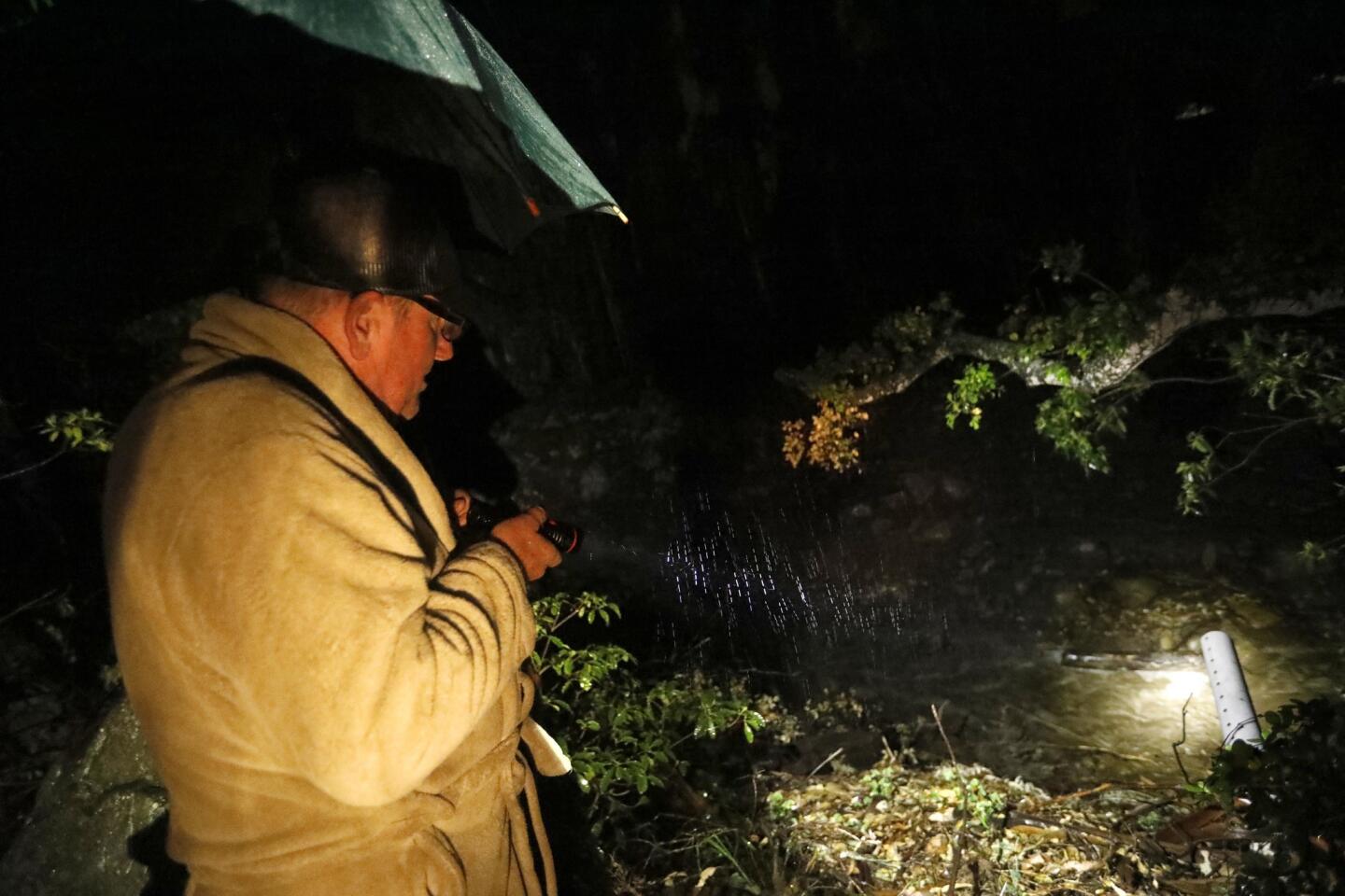
Earlier Thursday, the National Weather Service issued a flash flood watch for residents near Southern California burn areas in Santa Barbara, Ventura and Los Angeles counties.
The watch will be in effect for the Thomas, Whittier, La Tuna and Creek fire burn areas from 9 p.m. Thursday through 9 a.m. Friday. Rainfall rates of half an inch per hour are possible, which could trigger dangerous mud and debris flows, according to the weather service.
Forecasters say the heaviest rainfall is expected Thursday night and before dawn Friday. An inch of rain is possible, with 2 to 3 inches possible in mountain areas.

Drone video: Follow the path of January’s Montecito mudslide from the mountains to the sea. (Video by Brian van der Brug/Los Angeles Times)
The main cold front will move out of the region by Friday, but showers are expected to continue off and on through Saturday.
So far, forecasters do not anticipate the intense downpours that came during the January storm, said Curt Kaplan, a meteorologist with the National Weather Service in Oxnard.
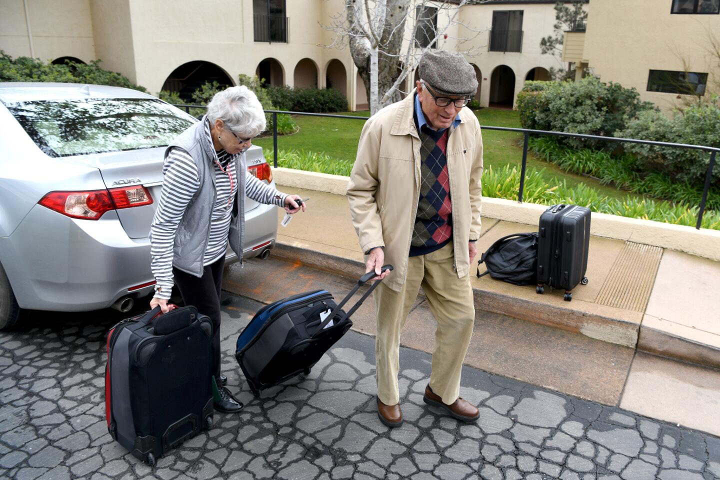
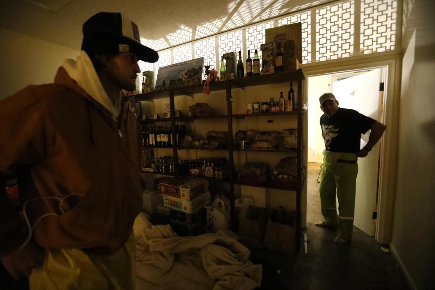
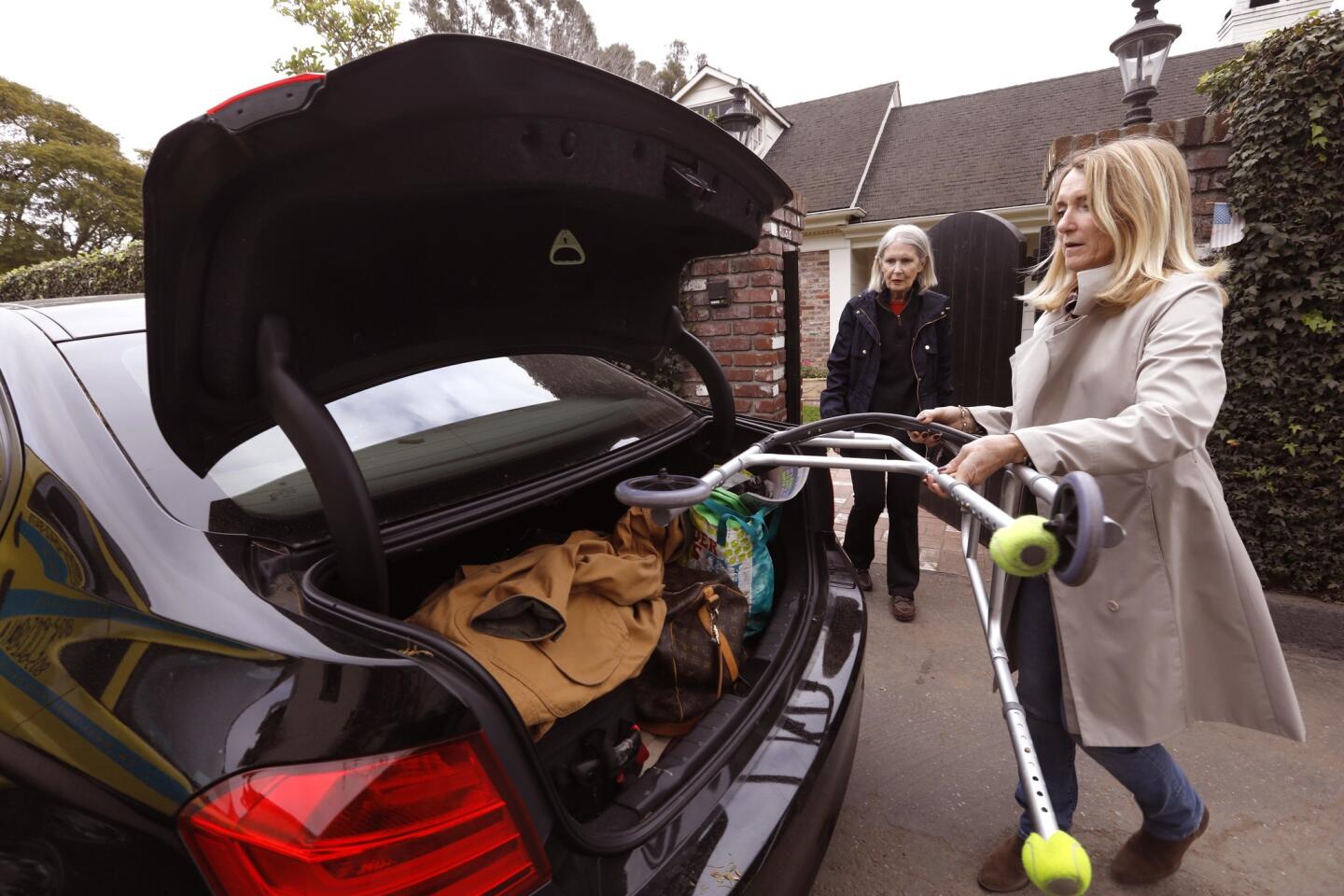
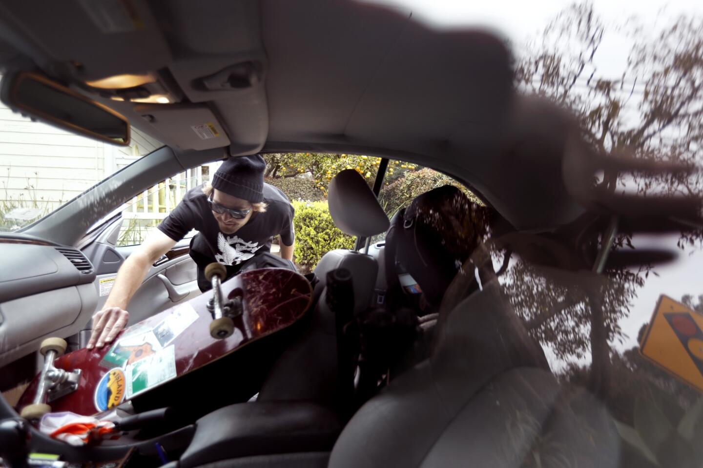
On Thursday morning, Montecito resident Laura Bautista and her family decided to leave, hours before the mandatory evacuations were ordered. Suitcases, pillows and clothes were piled in the backseat of her Honda, and next to her sat her 10-year-old son, Jesus Bautista. Her daughter was in a car in front of her.
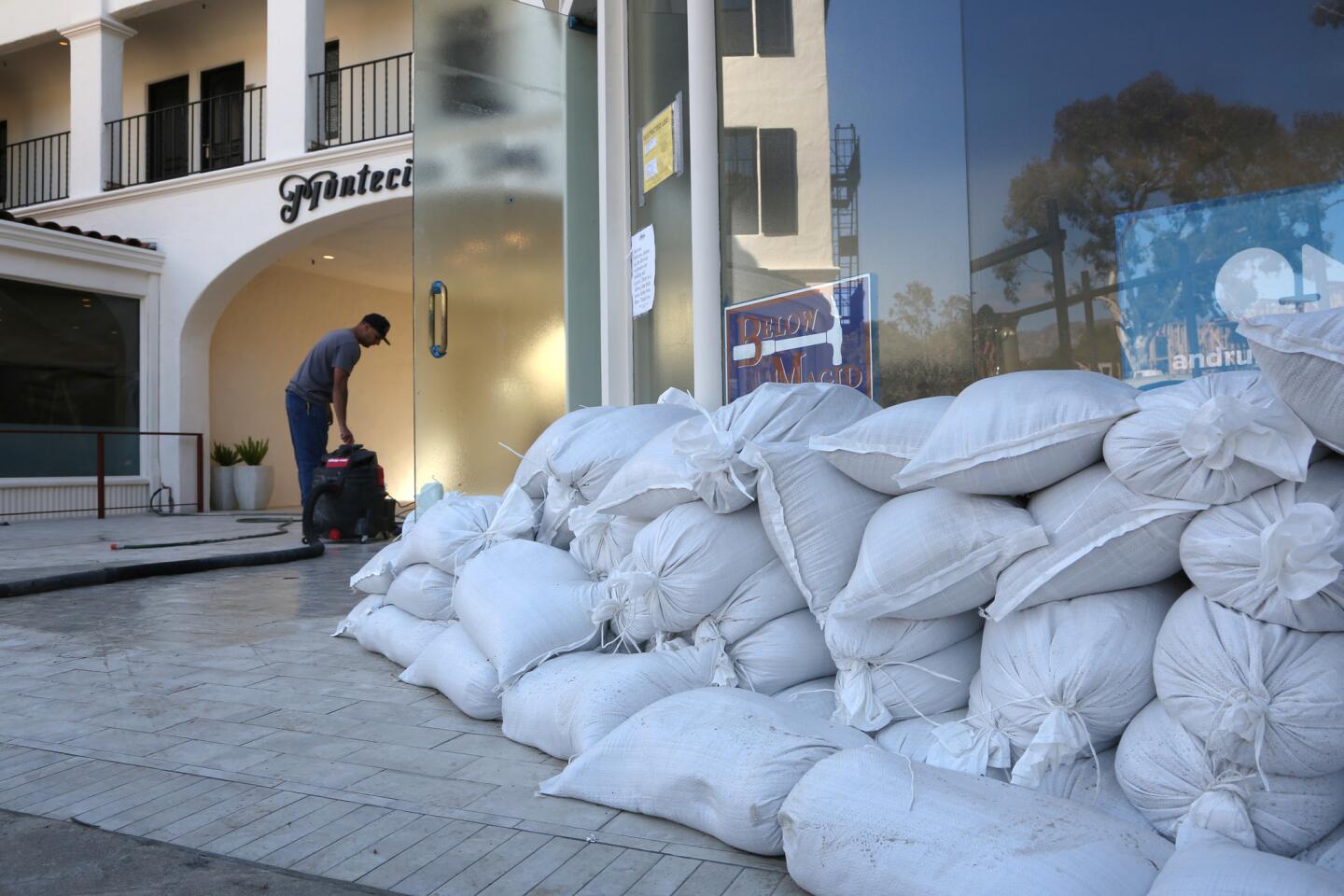
“We feel nervous and stressed,” Bautista said as she sat in her car. The family’s home was damaged by mud and debris during January’s mudslide. They’ve put sandbags around their house but said they are concerned what shape their house will be in when they return.
Similarly, Ingrid McCann said she was fearful of a repeat of January’s devastation. She and her husband opted not to evacuate then, and now regret that decision.
“We were traumatized in January. … We are going to get out of here soon,” McCann said as she loaded clothes and other belongings into her car.
Not everyone planned to leave, however.
Even though Ruth Pedersen lives in a mandatory evacuation zone just a few streets away from Romero Canyon creek, the 93-year-old said she planned to stay at home with her cat.
“I feel comfortable at home, and I don’t think anything will happen,” Pedersen told a reporter Thursday afternoon. “I didn’t evacuate in January, and I was fine.”
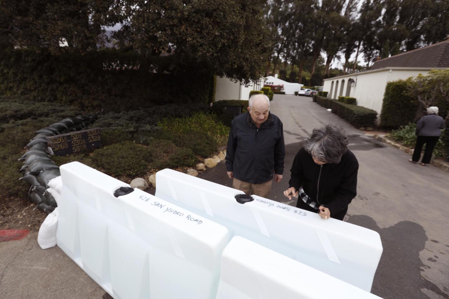
As she spoke, her son, John Pedersen, piled sandbags near the front lawn. “It’s a calculated risk,” he said.
According to the NWS, snow levels in Southern California could be between 4,500 and 5,500 feet by late Friday. Los Angeles County mountains could get up to a foot of snow above 7,000 feet and up to 18 inches at resort levels. In Ventura County, the mountains are expected to get half that amount, and Santa Barbara County mountains are expected to get even less.
It’s a different story entirely in Northern California, where several feet of snow is expected in the mountains over the next few days in what the weather service has called the largest storm of the year.
Much of the Sierra Nevada range is under a blizzard warning from Thursday morning through Friday morning, with whiteout conditions and dangerous wind chills expected. Forecasters are anticipating snow accumulation of up to 6 feet.
“Even a short walk could be deadly in these conditions,” the National Weather Service in Reno said in a tweet. Drivers on about 50 miles of Interstate 80 near Lake Tahoe — as well as numerous other roadways through the Plumas, Tahoe and Eldorado national forests — were required to have tire chains or snow tires Thursday morning.
The Sierra Avalanche Center has issued an avalanche warning for much of central Sierra Nevada through 7 a.m. Friday, rating the danger level a 4 on a 1-5 scale.
Twitter: @haileybranson
UPDATES:
2:45 p.m.: This article was updated with comments from resident Ingrid McCann.
1:50 p.m.: This article was updated with comments from resident Ruth Pedersen.
11:35 a.m.: This article was updated with comments from Santa Barbara County Sheriff Bill Brown.
11:10 a.m.: This article was updated with the issuance of an evacuation order for Montecito and other coastal areas.
10:30 a.m.: This article was updated with comments from Montecito resident Laura Bautista.
This article was originally published at 9:35 a.m.


Start your day right
Sign up for Essential California for news, features and recommendations from the L.A. Times and beyond in your inbox six days a week.
You may occasionally receive promotional content from the Los Angeles Times.