Did you feel that quake? Online survey helps USGS seismologists
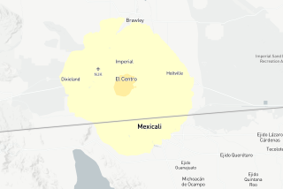
When a magnitude 4.4 earthquake shook Southern Californians awake in the predawn hours Tuesday, many rushed to their computers to learn about it from the U.S. Geological Survey website.
Those bleary-eyed Web surfers may not have realized they were giving information as well as getting it.
The “Did You Feel It?” online questionnaire, which asks people to detail the intensity of the shaking and report any damage, received more than 17,800 responses after Tuesday’s relatively minor shaker. In operation since 1999, it is helping experts learn more about the nature of earthquakes, how people react to them and -- in places without earthquake-sensing equipment -- where emergency efforts should be focused.
“It’s a two-way street -- we learn from people as much as they learn from us,” said survey geophysicist David Wald, who designed the system after the 1994 Northridge quake.
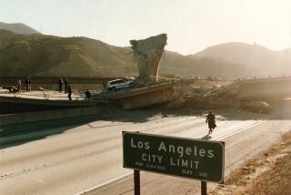
At the time of that 6.7 temblor, seismic instruments around Los Angeles were not designed to measure earthquakes that large. “Because of the instrumentation at the time, everybody was blind,” said Robert Herrmann, a geophysicist at St. Louis University in Missouri.
Wald and other scientists realized that if they could tap into online reaction from the affected population, they could quickly pinpoint the most damaged areas where emergency response was most needed.
Now, Wald said, the online survey draws on feedback from thousands of people in real time, and on earthquakes smaller than could have been documented before. It is particularly useful for regions where quakes and quake-measuring equipment are rare.
In Illinois, 26,500 people weighed in on a 5.2 temblor in 2008 -- crucial data, because the instruments in the ground there weren’t equipped to send data immediately, Wald said.
A magnitude 3.8 in that state in February drew 19,000 responses over a broad area. It demonstrated how quakes on the plains are often felt much more widely than in places such as California, where multiple fault lines disrupt quake energy as it travels through Earth.
And in a 2003 shaker in Alabama, “Did You Feel It?” input from citizens tested a theory held by some geophysicists about the movement of earthquake energy.
Called the Moho Bounce, the theory says there should be an increase in seismic activity about 60 miles from the quake epicenter, caused by the earthquake energy bouncing off the junction between the Earth’s upper and lower crusts.
The magnitude 4.6 quake was in fact felt much more strongly than expected at that distance, thus lending support to the theory.
The online questionnaire is the latest in a long tradition in seismology of using personal accounts to more accurately measure earthquakes.
Throughout the 20th century, government officials routinely sent questionnaires to regional postmasters to fill out after quakes.
Before seismographs came into use a little more than a century ago, newspapers, personal diaries and other accounts provided an important level of detail.
In his diary in 1821, preacher Daniel Banks, recalling a series of earthquakes that took place in Missouri in 1811 and 1812, wrote of “a boiling spring in the bed of lost river which throws up a volum of water as large as a mans body.”
Today, scientists can compare those personal historical reports with the ones logged online today on “Did You Feel It?” -- and thus get a sense of how big those historical quakes were.
That is helping clear up some old debates, said Nancy King, a geophysicist with the U.S. Geological Survey’s Pasadena office.
For example, to this day there is uncertainty about the 1811-12 Missouri earthquakes.
“There’s a scientific controversy -- were they a magnitude 7, magnitude 8, a high 6?” King said. “A lot of people are going back to historical records and diaries and museums to figure that out.”
More to Read
Start your day right
Sign up for Essential California for news, features and recommendations from the L.A. Times and beyond in your inbox six days a week.
You may occasionally receive promotional content from the Los Angeles Times.

