Polar vortex’s little brother to bring big freeze to eastern U.S.
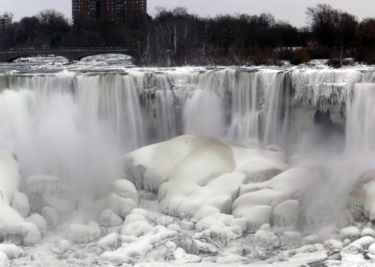
Much of the U.S. is about to get pretty cold again.
A huge dome of arctic air will send temperatures plummeting across parts of the Midwest and Northeast early this week in a deep freeze reminiscent of early January’s “polar vortex.”
Temperatures are expected to go well below zero in Minnesota by Tuesday, with some lows potentially reaching 20 below. Wisconsin, Michigan and upstate New York are expected to see some of the worst of the subzero temperatures through the earliest part of the week. Then the cold will move south.
“The amount of cold air that we’ve seen this year, we haven’t seen probably since 1996 in the upper Midwest and Great Lakes region, and maybe even as far east as upstate New York,” said Tony Zaleski, a meteorologist with the National Weather Service in the Minneapolis-St. Paul area.
So is this Polar Vortex No. 2?
Not quite, according to Zaleski. While both systems will have involved arctic air sliding down into the U.S., the new deep freeze won’t have the brutal frigid winds that made the polar vortex so dangerous.
“I would say that this amount of cold air is going to be extreme as well, but it won’t be as extreme as our area saw a few weeks ago,” Zaleski told the Los Angeles Times, alluding to the wind chills of 40 to 60 degrees below zero that scraped across Minnesota.
This time, the wind chills will be about 20 degrees higher there -- certainly warmer, but still dangerously cold.
The cold air was expected to send temperatures below freezing as far south as northern Florida by Tuesday night, according to an AccuWeather.com forecast.
“The cold may be intense enough to cause school closings, frozen pipes and water main breaks,” Alex Sosnowski, senior meteorologist for AccuWeather.com, said in a forecast.
“Heating systems may struggle to keep up, people will spend more money keeping their homes and businesses warm and ice will again build up on area rivers,” Sosnowski wrote. “Where the cold is accompanied by snow, travel delays are likely.”
While AccuWeather also called the new weather phenomenon a “polar vortex,” the Weather Service’s Zaleski hesistated in embracing the term, saying he preferred simply to say “it’s extreme arctic air coming south.”
“It happens every winter,” Zaleski said. “Basically you’ve got low pressure over the Arctic regions, and what’ll happen is, the jet stream will weaken, and it will allow huge pools of cool air to surge south. Depending what part of planet you’re on, it could funnel down into North America, or Europe, or a large portion of Russia, eastern Asia.”
“Basically,” Zaleski added, “it’s a common thing.”
More to Read
Start your day right
Sign up for Essential California for news, features and recommendations from the L.A. Times and beyond in your inbox six days a week.
You may occasionally receive promotional content from the Los Angeles Times.
