Tornado warning issued for southwest L.A.


CASTAIC, Calif. -- A blustery winter storm peppered Southern California with heavy rain and hail Thursday, while layering a blanket of snow in local mountains and forcing hundreds of drivers to be stranded in a high pass north of Los Angeles.
The National Weather Service issued a tornado warning late Thursday for southwest Los Angeles County, including Malibu, Pacific Palisades and the Topanga area. The weather service said a strong rotating thunderstorm was spotted over the eastern half of Malibu, moving north-northeast at 20 miles per hour. No damage was immediately reported.
Many areas reported at least an inch of rain by nightfall. In Ventura and Santa Barbara counties, some areas reported between two and three inches of rain.
Heavy rain was reported Thursday evening over the Los Angeles area.
The National Weather Service issued a winter storm warning for the Santa Barbara County mountains through 10 p.m. Friday. The snow level was expected to drop to between 2,000 and 3,000 feet Thursday night, and down to 1,500 feet during heavier showers or thunderstorms.
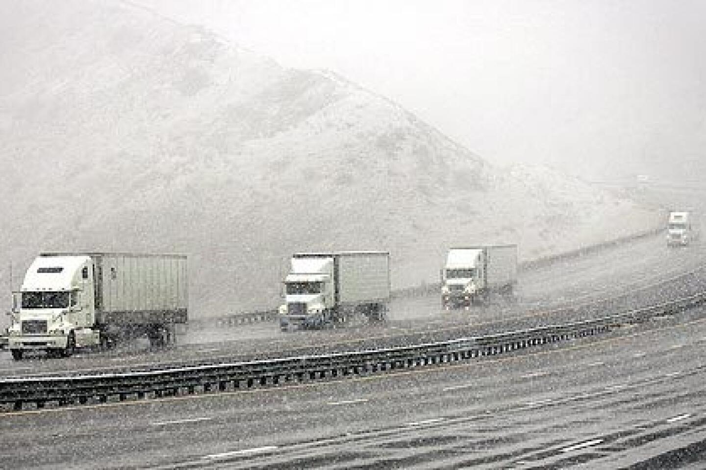
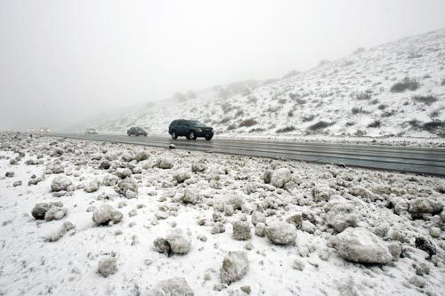
The storm forced the California Highway Patrol to shut down Interstate 5 late Wednesday on each side of the notorious Grapevine section of Tejon Pass, which rises to an elevation of more than 4,000 feet between the Los Angeles Basin and the San Joaquin Valley.
An estimated 300 to 500 trucks and cars were stuck overnight in a 40-mile stretch of the major north-south artery but most had been guided out by morning, said CHP Officer Mark Ehly.
“We were taking cars out pretty much one at a time” through the night, he said.
A roughly 40-mile stretch of the icy interstate remained closed Thursday evening. There was no estimate as to when it would reopen, said CHP Officer Patrick Kimball.
About 70,000 vehicles normally use the Grapevine section of I-5 each day, but its high elevation in the Tehachapi Mountains makes it susceptible to winter storms.
In Orange County, crews placed K-rails against several homes in fire-scarred Modjeska Canyon Thursday. Up to 1 1/2 inches of rain fell Wednesday night in the area burned by October’s Santiago fire, said Capt. Mike Blawn of the Orange County Fire Authority.
“The rain resulted in a few minor debris flows behind a few houses but as far as I know there was no structural damage,” Blawn said.
Authorities are more concerned about a bigger storm forecast to hit the area over the weekend. Forecasters are predicting 4-6 inches to hit south and southwest facing mountain slopes between Saturday night and Sunday morning. Blawn said the county’s emergency operations team is keeping a close look on the situation.
Heavy rain and overnight hail prompted the Santa Anita horse track in Arcadia to cancel races Thursday, the fourth time this month. Its synthetic track has had drainage problems.
The storm was not expected to improve local water supplies. One of the driest rain seasons on record left reservoirs so low last year that several cities called for voluntary water conservation.
“It’s a drop in the bucket compared to the levels that are really needed,” said Ann Erdman, a spokeswoman for the city of Pasadena, which last month officially projected a water shortage.
Still, the storm and another on the way could prove beneficial, said Arthur Hinojosa, chief of the hydrology branch of the state Department of Water Resources.
“Every drop helps, especially when you’ve had a year like we did last year when we were shy and drew down a lot of reservoirs ... and groundwater,” he said.
He noted that the West has been in a mild La Nina condition, referring to a change in ocean temperature that usually brings drier weather.
“You get a couple more systems like this ... and things might look a lot better,” he said.
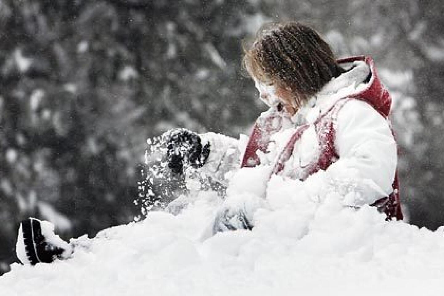
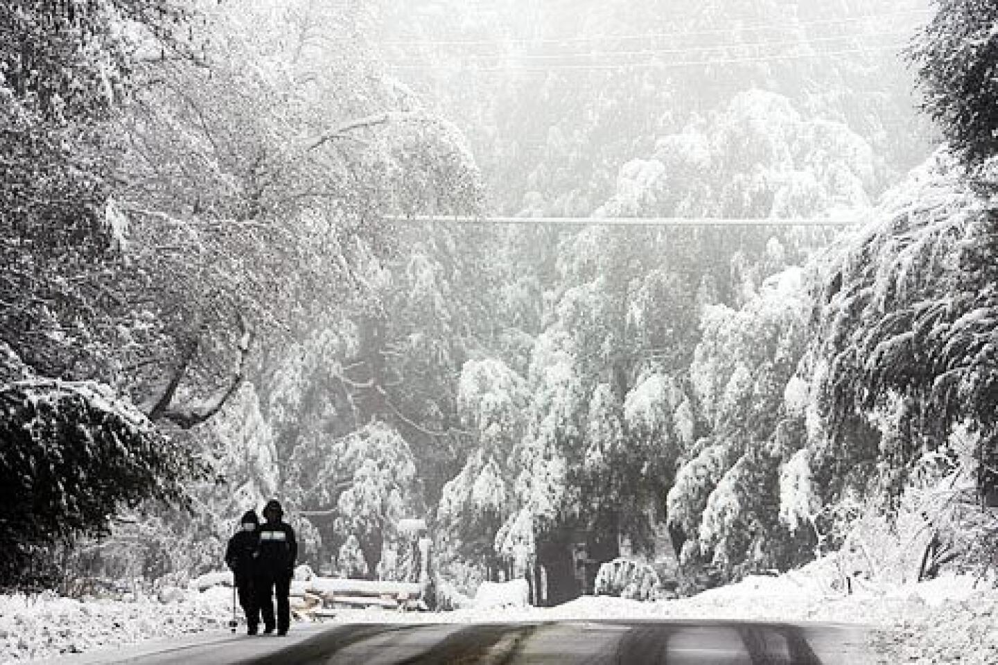
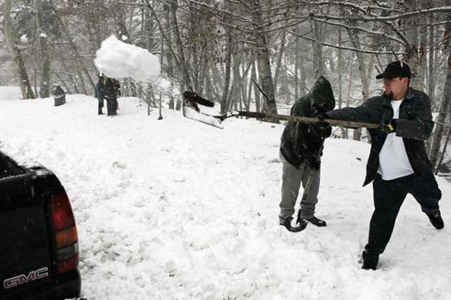
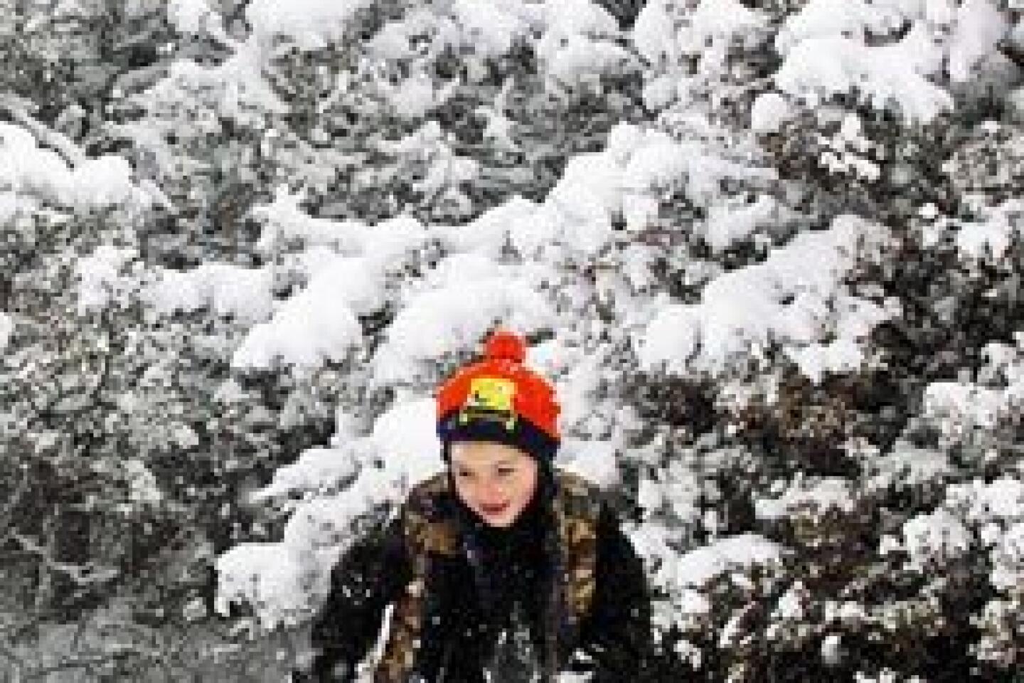
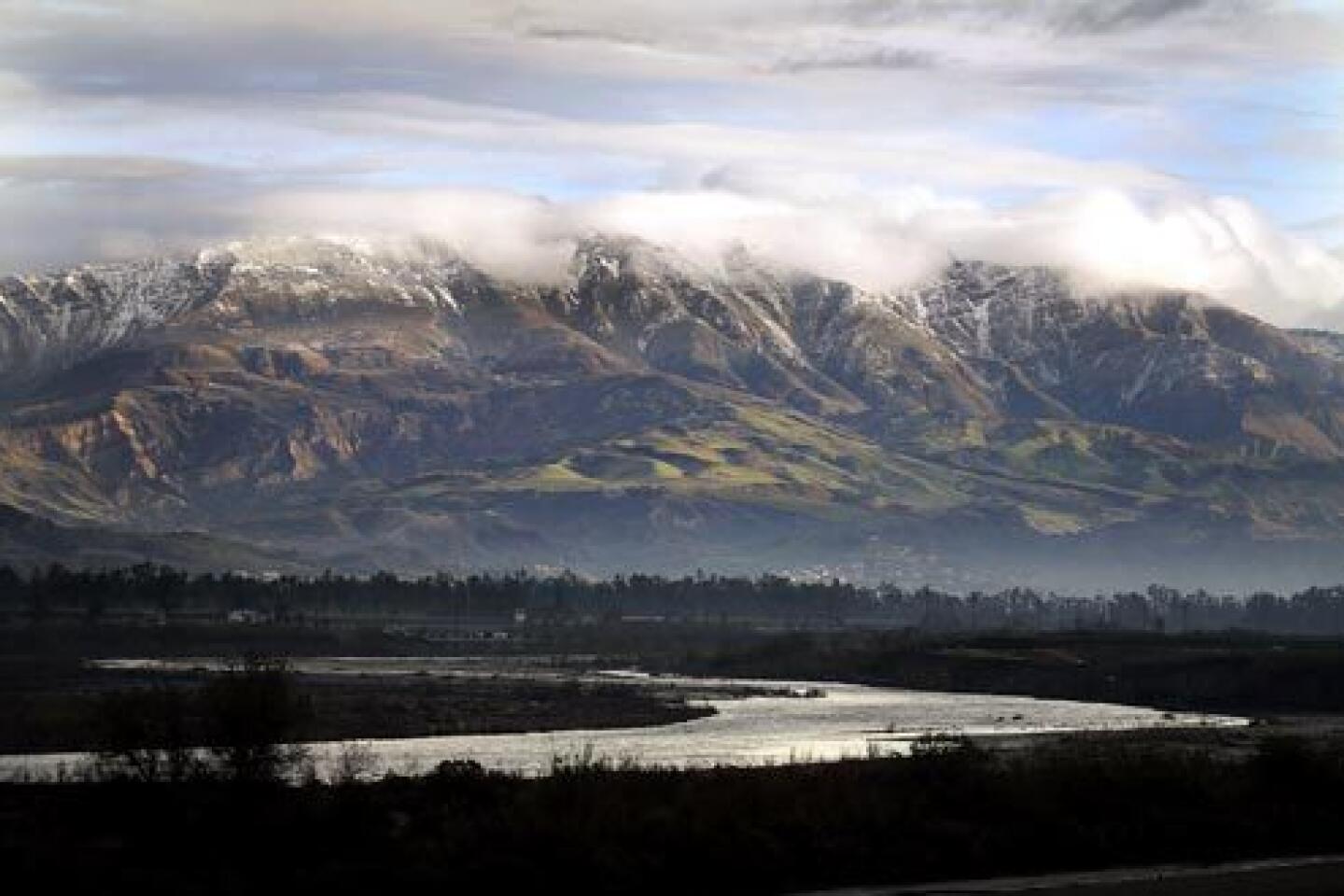
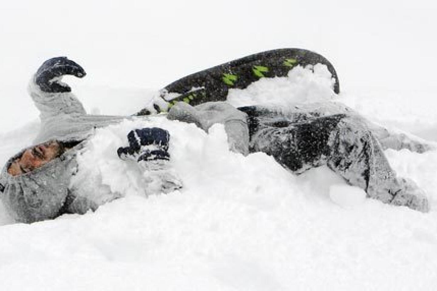
The storm dumped several feet of snow in local mountains, to the delight of ski resorts.
However, its impact was less clear on the crucial Sierra Nevada snowpack that, when it melts, is a major water supplier for Southern California.
The first large-scale survey of the snowpack in the region is planned for next week, Hinojosa said.
By late Thursday, downtown Los Angeles had recorded 1.39 inches from the storm, raising its seasonal total above 7 inches, more than usually has accumulated to date. But city has a long way to go in order to meet the average total of 15.14 inches for the whole season, which began on July 1 and runs through June 30.


Start your day right
Sign up for Essential California for news, features and recommendations from the L.A. Times and beyond in your inbox six days a week.
You may occasionally receive promotional content from the Los Angeles Times.


