Slide Threat Will Persist, Experts Warn
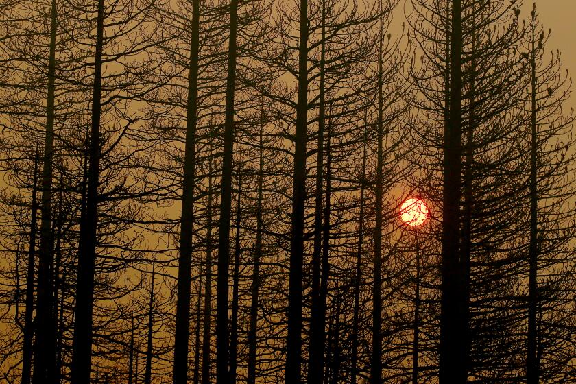
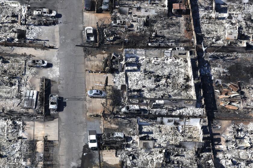
The deadly Christmas Day mudslide that buried a church camp in the San Bernardino Forest may be only the beginning of what scientists and flood experts fear will be five years of dangerous debris flows in Southern California -- the prolonged aftermath of this year’s massive wildfires.
Even before the October-November fires were fully extinguished, geologists and flood control engineers cautioned that the chances of catastrophic landslides in the charred areas had increased exponentially.
The peril is particularly grave in the canyons and foothills of San Bernardino County, where development has crept closer to the mountains in recent years. But experts said other fire-damaged areas, such as those in Ventura and San Diego counties, are also vulnerable.
“This event -- this demonstrates the degree of human hazard that we are talking about with these landslides,” said Douglas Hamilton, an expert with the environmental consulting firm Exponent who has studied the landslide risks in San Bernardino County and has warned of perils since the fires.
“Prior to this situation, I think some people were discounting the dangers of these slides,” he said. “This was a situation where obviously some people were camping where they should not have been, but it does give everyone an indication of what can happen, even in residential areas, during a heavy storm. It really hasn’t rained much yet, and we are already seeing some serious problems.”
Federal landslide experts recently issued a detailed warning on the areas vulnerable to disaster in San Bernardino County -- a warning that specifically mentioned the Waterman Canyon site of the campground -- and local officials launched a campaign to inform residents.
But the threatened regions include mountain communities that are home to thousands of people and the locations of numerous critical roadways. Not everyone has heeded the warnings to stay out of the canyons during strong rains, and because of the extent of the fire damage, authorities said, they would have to close off a large portion of the mountains to keep everyone out of harm’s way in such conditions.
More than 3 inches of rain fell in the areas where mudslides occurred Thursday -- a substantial downpour, but nothing compared with the concentrated storms that spawn what experts consider 25- and 100-year floods. Nonetheless, it was clearly enough to cause widespread destruction.
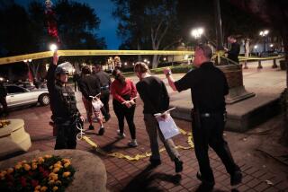
The disaster at the St. Sophia Camp and Retreat Center was one of a series of mudslides that struck San Bernardino County on Christmas Day. Rushing muck damaged a KOA campground in Devore, killing two people, and several smaller mudslides cut off mountain roads.
Residents said Friday that they had been told of the potential hazard but that they had not realized until too late how furious the landslides could be.
“Nobody ever imagined this. Nobody, not even the rescue people,” said Tim Barnes, whose mother, Janice Bradley, 60, died in the Devore mudslide. Fire crews had visited the campground after the recent blaze to warn people, he said. “They knew that mountain was going to wash down. You could see it. There’s no vegetation up there at all.”
Because of their history of flash flooding, the San Bernardino and San Gabriel mountains have long been notorious for debris flows, as the most devastating form of landslides are known, and scientists long ago determined that these were more likely to occur when rains followed fires.
Debris flows have caused dozens of disasters in Southern California over the last century.
One of the most notorious slides also took place around the holidays, just after New Year’s Day in 1934: A 20-foot-high wall of rocks and mud swept over La Crescenta and Montrose, killing 49 people.
When heavy rainfall hits hillsides burned bare by wildfires, the volume and velocity of raging waters, tree trunks, boulders and dirt that can be swept into a slide can be 10 times greater than usual; they can be abnormally high even four to five years after the fire. Fires consume the canopy of vegetation that covers hillsides and binds soils together, greatly exposing the areas to erosion.
In chaparral-covered Southern California, a second dangerous phenomenon is also at work: Burning of the dense brush has been shown to produce resins that harden surface soils, making the ground more water-repellent than usual.
Formation of so-called hydrophobic soils can greatly enhance the speed with which water travels down steep mountain slopes, carrying boulders and fallen trees with it and increasing its power to destroy. When the water finally penetrates the crusty layer, it often erodes far greater amounts of soil, because of its increased velocity.
“Picture a raindrop falling on a leaf and then hitting a branch, its fall broken before it flows down to the ground. Then picture the same raindrop, falling directly to the earth, and running down a barren hillside. That’s what we are talking about,” said Susan H. Cannon, a geologist with the U.S. Geological Survey who is part of a special team that studies landslide hazards.
In an emergency assessment that the agency released earlier this month of the landslide threat in areas burned by the wildfires, Cannon specifically cited the tributaries within Waterman Canyon, site of the St. Sophia Camp, as a place where a debris flow was highly probable.
The analysis was shared with the Federal Emergency Management Agency and the California Office of Emergency Services, and was subsequently distributed to local officials, Cannon said.
In all, of 119 basins evaluated in her analysis, she concluded that 21 had a greater than 67% probability of having debris flows in the event of a 25-year flood, defined as one hour with 1.12 inches of rain. Sixty-nine other basins had a greater than 33% probability of experiencing landslides, which she called a significant hazard.
During heavy rains, the areas would be “extremely dangerous for anyone living, working or recreating within them or downstream from them,” Cannon wrote.
San Bernardino County officials, who have been warning residents for months about the increased landslide danger, said Friday that they hoped the campground tragedies would serve as a warning to others that the threat was real.
County supervisors approved a detailed plan to inform residents of landslide hazards and have been distributing fliers and discussing the danger with news media.
However, San Bernardino County Fire Marshal Peter Brierty said there was little the county could do to keep the public entirely safe. To do so, he said, authorities would have to “close the entire front country, “ the area where people have begun to inhabit the mountains.
Times staff writers Hector Becerra and Lance Pugmire contributed to this report.
More to Read
Start your day right
Sign up for Essential California for news, features and recommendations from the L.A. Times and beyond in your inbox six days a week.
You may occasionally receive promotional content from the Los Angeles Times.
