Activists win round in bid to keep vegetation near mouth of L.A. River

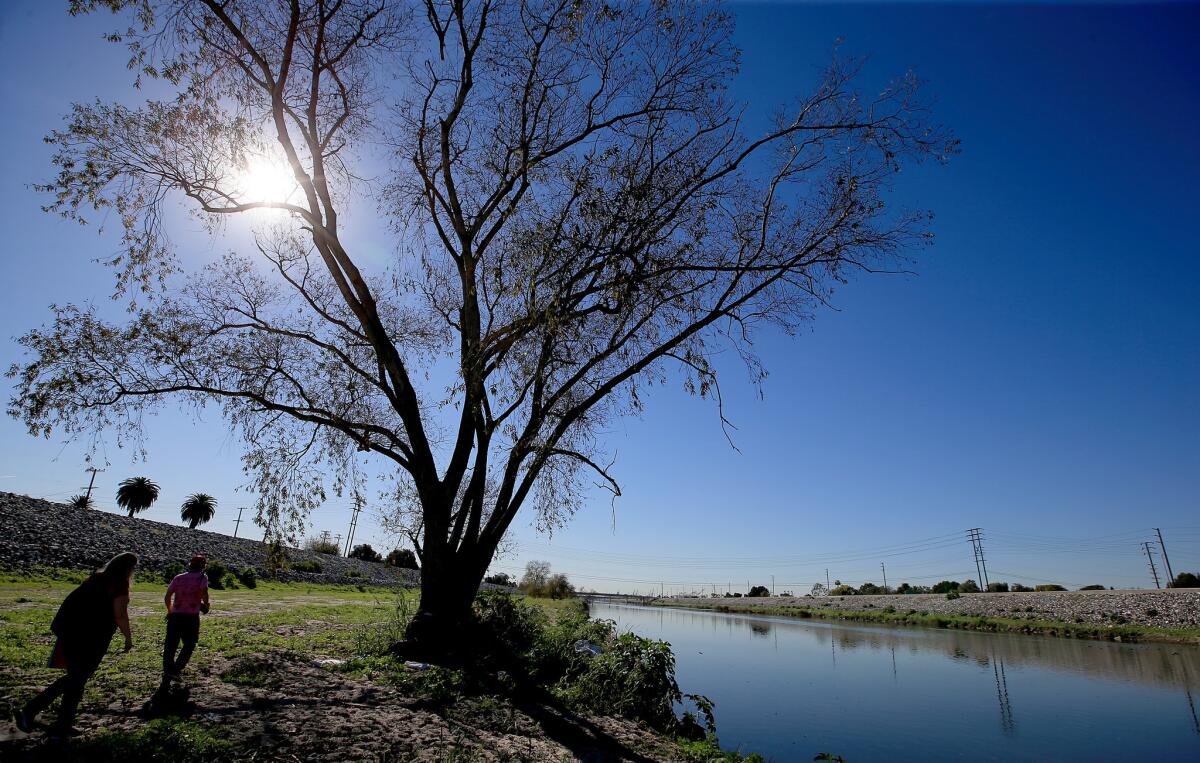
Los Angeles River activists, heartened by the momentum behind revitalization of upstream sections of the waterway, asked water officials on Thursday to return the downstream portion to a more natural state by halting removal of vegetation on the last 11/2 miles of the river.
The request set up a clash between river enthusiasts who dream of returning the region’s biggest waterway to a more natural state and Los Angeles County officials responsible for managing it as a flood control channel. The jobs of those officials is to avoid the devastating floods that rocked the region before the river was channeled and paved more than seven decades ago.
On Thursday, conservation groups including Friends of the Los Angeles River and Heal the Bay had reason for optimism. They had asked the California Regional Water Quality Control Board to deny renewal of the Los Angeles County Public Works Department’s five-year permit to bulldoze the river bottom each September between Willow Street and Pacific Coast Highway.
After an hour-long hearing, the board voted to limit the department to a one-year permit and ordered it to help organize workshops with stakeholders to try to find less destructive methods of maintaining the riverbed.
“We’re calling this a victory,” said Lewis MacAdams, a co-founder of Friends of the L.A. River. “Our ultimate goal is to make the lower reaches of the Los Angeles River as attractive as the upstream stretches are becoming.”
A year ago, the U.S. Army Corps of Engineers recommended approval of an ambitious, $1-billion proposal to restore habitat, widen the river, create wetlands and provide access points and bike trails along an 11-mile stretch north of downtown through Elysian Park.
The decision opened the way for Congress to give its approval and work to begin to transform that stretch, which is managed by the Army Corps, into a more natural state.
The river’s southernmost reaches are managed by county flood control officials in accordance with plans developed in cooperation with the Army Corps and the California Department of Fish and Wildlife. Vegetation in the river could diminish its carrying capacity during rainstorms.
“We operate that stretch of the river within the mission, engineering specifications and flows it was designed for,” said Gary Hildebrand, assistant deputy director of the Los Angeles County Flood Control District. “But we’re also in the process of revising our management activities, within those limitations, to accommodate wildlife and habitat.”
For example, the county schedules maintenance activities in the channel outside of bird-nesting season. Beyond that, he said, “the vegetation grows back relatively quickly after we clear it.”


