In the back and beyond, a.k.a. Carrizo Plain National Monument
CARRIZO PLAIN NATIONAL MONUMENT, Calif. — In his obsession to see every back road in Southern California, my brother, John, recently said, “Let’s go to Carrizo Plain.”
“Where’s that?” I asked.
He waved his palm in the air. “Over there.” Meaning, I gathered, someplace between Bakersfield and Santa Barbara.
The website for the Bureau of Land Management, which helps administer Carrizo Plain National Monument, offers more precise directions, though it begins by warning visitors not to use GPS mapping software to get there. You will be led astray, it says in bold face type.
So I phoned the monument, and a nice woman at its Goodwin Education Center explained that the main entrance is about 50 miles east of San Luis Obispo on winding California 58. If you keep going east, you’ll end up in the San Joaquin Valley, separated from the long, skinny Carrizo Plain by the Temblor mountains. All of which left me with only the fuzziest idea about its location. But that’s OK. John and I like going to nowheresvilles, if only to prove that they persist in glorious abundance in Southern California.
There were things we wanted to see in the monument: Soda Lake, the huge alkaline wetland, Native American pictographs and the San Andreas Fault, sharply apparent on the northeastern side of the plain, about midway in its 800-mile cut across California from the Salton Sea to Cape Mendocino. Granted, these are esoteric points of interest compared with Yosemite and Big Sur, which is why the few people who visit Carrizo Plain generally come for nothing more than peace and quiet.
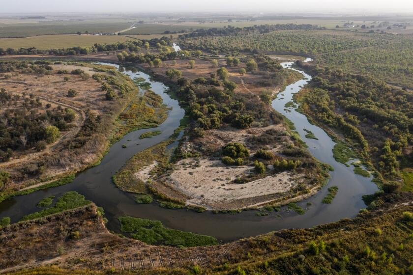
Just to make things exciting, we drove a rented Kia Sorento that tried to lift off in each passing breeze and took an unprescribed shortcut from Santa Barbara by way of Ojai and California 33 through the Sespe and Dick Smith wildernesses. Part of the route followed the Cuyama River valley, bone dry after an almost-rainless winter, where we found pistachio orchards and bought a bag of nuts that I had to shell and hand to John, who was behind the wheel, the rest of the way to an abandoned gas station on California 166.
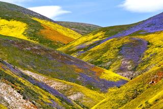
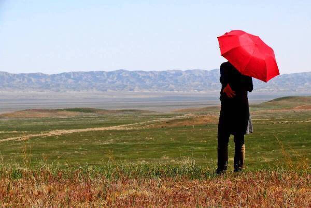
There, at the back door to Carrizo Plain, we got our first look at the national monument, a 50-mile-long valley between two stony mountain defiles, corrugated by rounded grass hills, an incongruous cross between Death Valley and the English moors.
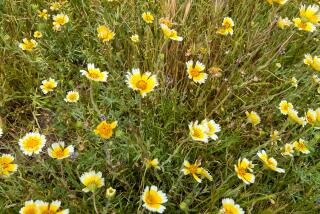
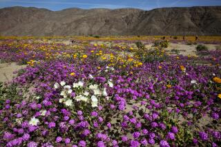
As the afternoon shadows lengthened, we turned onto Elkhorn Road, part paved, part graded dirt, striking east of the main north-south route through the monument, roughly paralleling the Temblor mountains, which crest about 4,000 feet. We saw a few poppies blooming in splotches of bright orange but knew not to expect one of the big spring wildflower displays that take place about once every five years when there’s been rain. (The last good show was in 2010, we later learned.)
We had planned to pitch tents, and on our way back south stopped at the plain’s KCL Campground, where a few hardy souls told us they were expecting a frigid night. That persuaded us to drive on to Taft, a forlorn but friendly town on the eastern edge of the monument with apparently more pumps than people, tapping some of the richest oil fields in California. Over steaks at the down-home Ot Cook House & Saloon, John talked to the cook about fossil and elk hunting in the Carrizo, and I got the hostess to phone ahead for a $75 room at the Holland Inn & Suites. Shining over Taft that night was a golden, dinner plate-sized moon.
The high-cholesterol content of the egg, ham and cheese sandwiches we had for breakfast the next morning at Jo’s Restaurant in Taft gave us a happy start, which only got better as we drove California 58 back into the monument. Along the way, we had a stare-down with a surprisingly fat coyote that had probably just finished its own breakfast of giant kangaroo rat. Rattling over a cattle guard, we reentered the monument on the northern side, kicking up a little hurricane of powdery white dust, salt residue from runoff water. The Carrizo is like a sink with a single drain, 3,000-acre Soda Lake, which appears like a hallucination; at first, you think it’s a snowfield.
At an overlook near the lake, we joined a tour, offered Saturday mornings in March, April and May, and learned that the snow is actually a layer of sulfate and carbonate salt, seemingly solid from a distance. Pilots of small planes who make the mistake of trying to land on it have to be extracted, and when water collects, it’s too toxic to drink.
The tour’s next stop was Painted Rock, an outcrop of sandstone on the western side of the valley that served as a sacred meeting place for Native Americans — Yokuts from the San Joaquin Valley and the coastal Chumash who made murals on the rock’s interior faces. Vandals had done their work effacing and spraying paint over the images, testifying to the fragility of pictographic sites so endangered that they are often omitted from BLM andU.S. Geological Surveymaps. Also a nesting place for hawks and falcons, Painted Rock can now be visited only on one of the tours offered by the BLM or by special permit.
We scarfed down a couple of power bars on the way to Wallace Creek, a dry watercourse bisected by the San Andreas Fault, with the Pacific Plate to the west and the North American Plate to the east. The lonely, desolate spot seems to be about as nowheresville as you can get, until you notice that movement along the fault line has cut the creek in two, leaving the upstream part of its canyon separated from the downstream continuation by 430 feet. Every year one side of the fault at Wallace Creek moves north 1.5 inches, a vivid demonstration of plate tectonics for Southern California geeks like my brother and I. If we’d had more power bars, we’d have stayed on to watch it.
More to Read
Sign up for The Wild
We’ll help you find the best places to hike, bike and run, as well as the perfect silent spots for meditation and yoga.
You may occasionally receive promotional content from the Los Angeles Times.
