Grand Canyon: Go rolling on the Colorado River with Google Maps
How to take a white-water trip through the Grand Canyon without getting wet: Stay home and click on Google’s Street View of the classic 286-mile ride on the Colorado River. It’s red-rock heaven all the way, with pull-offs that scramble up side canyons too, in the latest take-you-there visuals debuting Thursday (today) on Google Maps.
Google’s take-you-there 360-degree Street Views (no, they aren’t changing the name to “river views”) have captured major landmarks like the Burj Khalifa tower in Dubai, the Taj Mahal in Agra, India, and the Eiffel Tower in Paris as well as five national parks in California.
For the river run, Google last August partnered with the nonprofit organization American Rivers which has deemed the Colorado the most endangered river in America. The nonprofit hopes the project will raise awareness about the river and need to better manage water supplies.
Google also worked with commercial outfitter Arizona River Runners to make the extraordinary journey from Lee’s Ferry to Pearce Ferry.
Two Trekker cameras mounted on rafts, each weighing 40 pounds and bearing 15 camera heads pointed in all directions, snapped photos ever 2.5 seconds.
“We collected photos when the sun was the highest,” Karin Tuxen-Bettman, leader of the Colorado River Street View Project, said Wednesday. “The canyon is narrow in places, and we didn’t want shadows overtaking [the shots].”
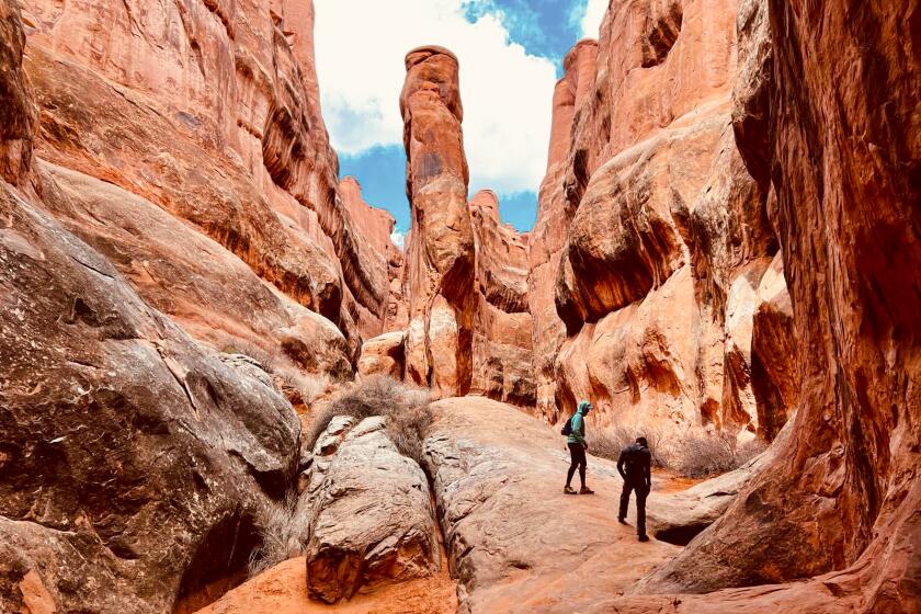
In addition, the team also shot five side hikes in the canyon, including the trail to a formation called the Nankoweap Granaries, which offers expansive overviews of the river.
Google Maps already created Street View images of two classic Grand Canyon hikes: the Bright Angel Trail to Phantom Ranch and the South Kaibab Trail.
Mary.Forgione@latimes.com
Follow us on Twitter @latimestravel, like us on Facebook @Los Angeles Times Travel.
More to Read
Sign up for The Wild
We’ll help you find the best places to hike, bike and run, as well as the perfect silent spots for meditation and yoga.
You may occasionally receive promotional content from the Los Angeles Times.
