Cold snap continues in Southern California with more rain, snow on the way

The big chill across Southern California continued Sunday as the region braces for more rain this week, forecasters said.
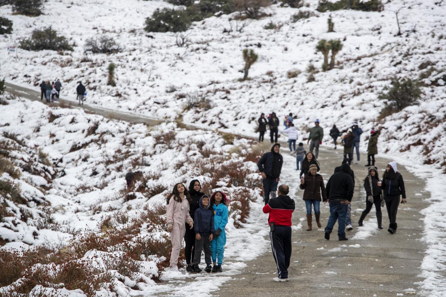
One to three inches of snow will be expected in the Los Angeles County mountains, and up to five inches was forecast in the Ventura County mountains, the weather service said. The snow-capped San Gabriel Mountains turned the region into a winter postcard Saturday with snow levels ranging from 3,500 to 5,000 feet.
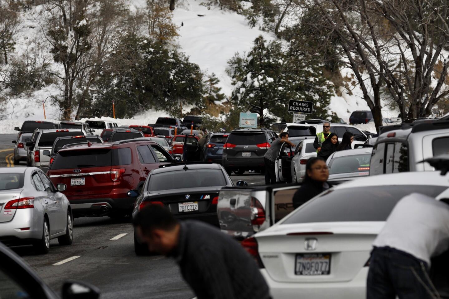
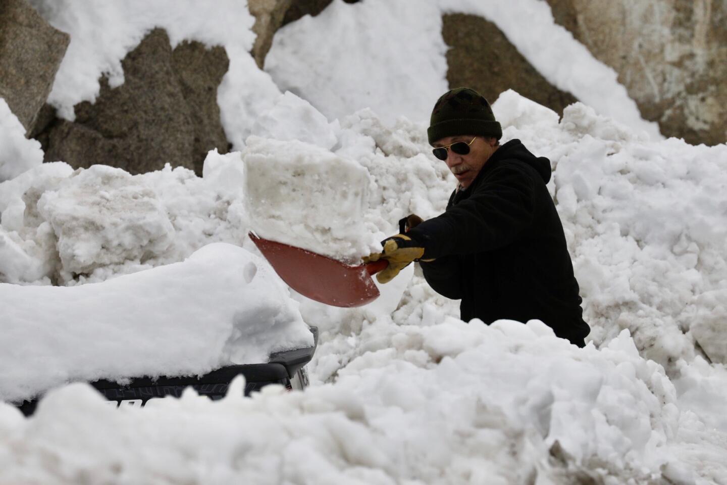

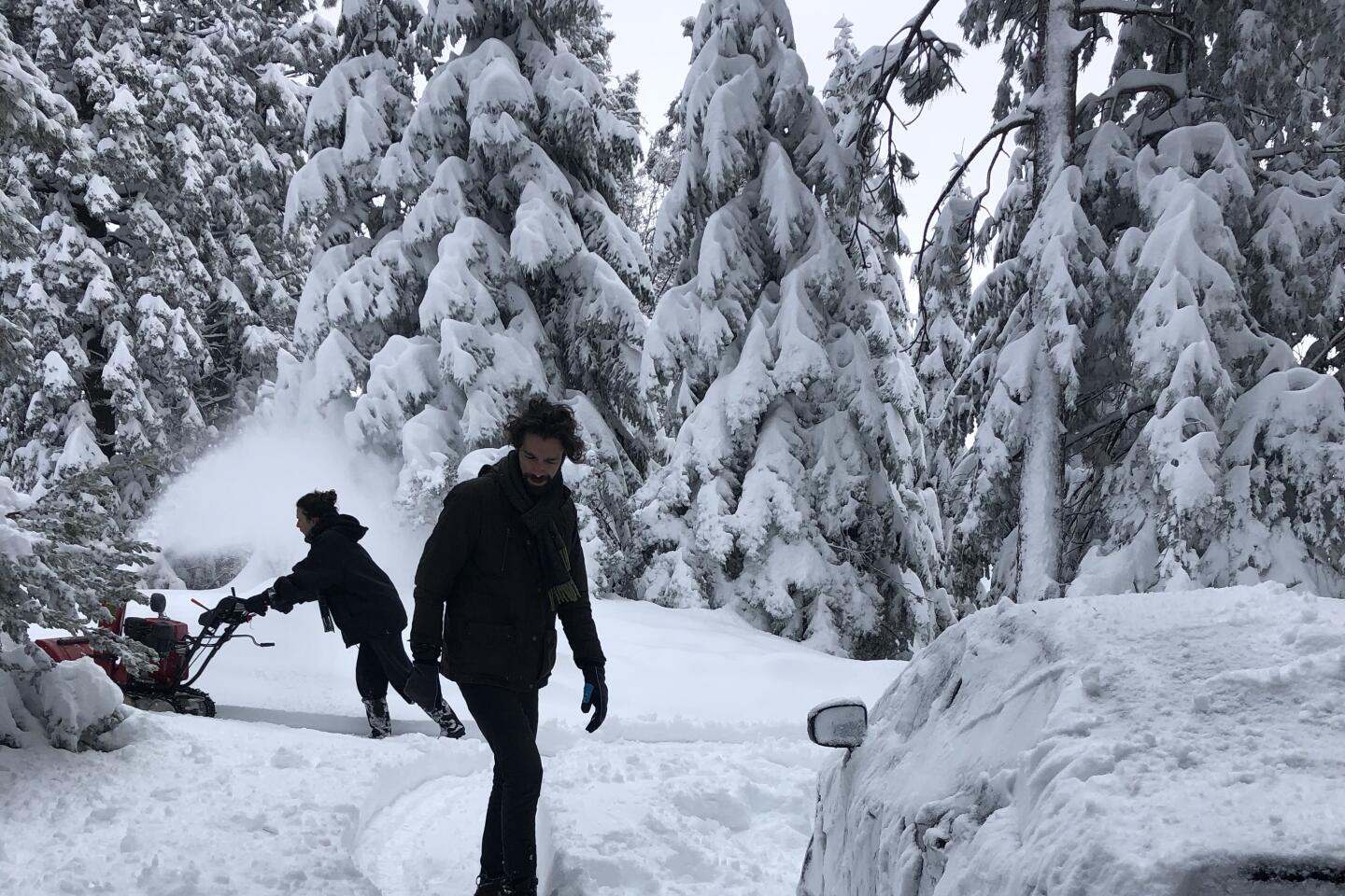

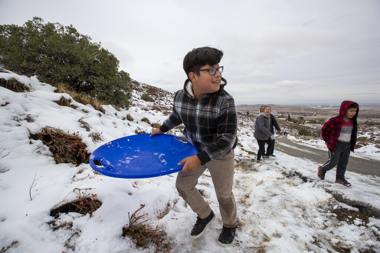

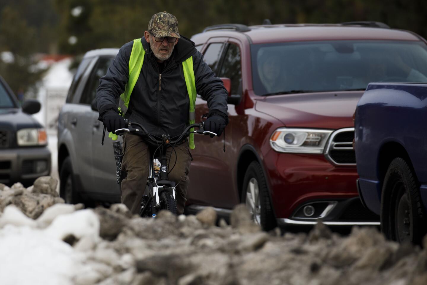
About four feet of snow had already fallen on Big Bear Mountain in San Bernardino County as of Friday morning. On Saturday, Highway 18 from Lucerne to Big Bear was reopened after it was temporarily shut down because of heavy snow.
But it was the only way in and out.
The California Department of Transportation urged people to avoid the area. “If you do not have immediate business in the mountain, stay away so people can get home!” the agency tweeted.
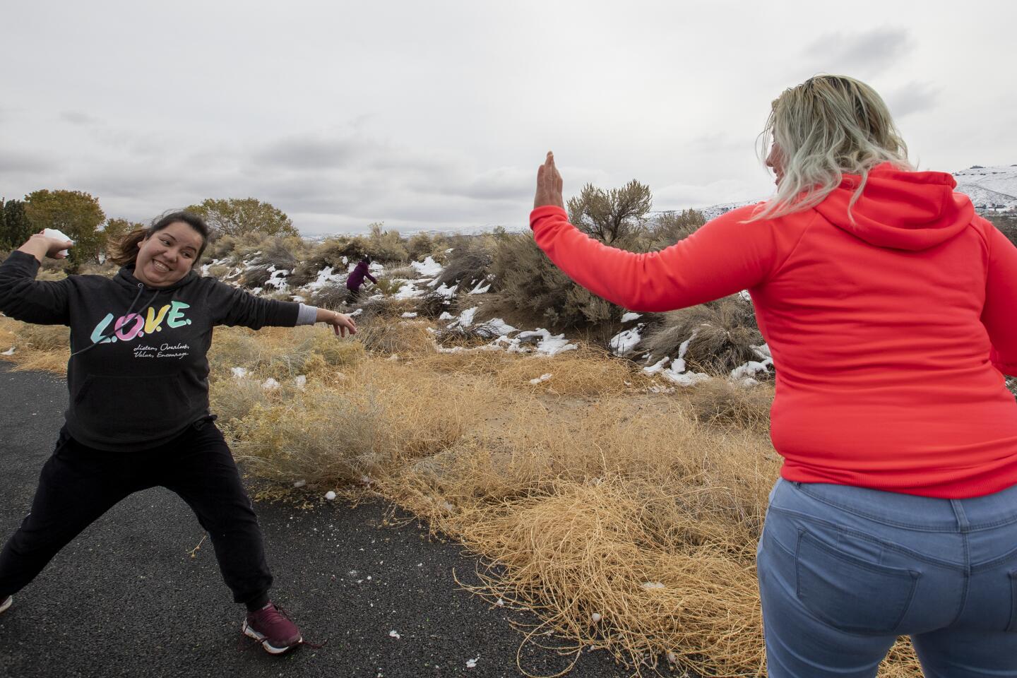
Meanwhile, light showers continued to fall throughout Los Angeles County and the surrounding area, with temperatures ranging from 56 degrees in downtown Los Angeles to 46 degrees in Woodland Hills. Less than a quarter of an inch of rain is expected in Los Angeles County through Tuesday morning.
But more rain is on the way, with one to two inches forecast between Tuesday night and Wednesday night throughout the county, according to the weather service. Parts of Ventura, Santa Barbara and San Luis Obispo counties are also expected to see some showers, with northwestern San Luis Obispo forecast to get up to four inches of rain through Monday.
The rain is a result of a new storm sweeping into the region from the west, supercharged by an atmospheric river of subtropical moisture — long plumes of water vapor that can pour over from the Pacific Ocean through California. The heaviest rain is expected to hit the region between Tuesday and Saturday.
Meanwhile, the Bay Area will see increased rain from the storm pattern. Some areas may see a foot of total rainfall between Saturday and Wednesday morning.
“We’ve seen a little bit of rain, and it’s just going to continue,” said Carolina Walbrun, meteorologist at the National Weather Service in the Bay Area.
The brunt of the storm will hit the Monterrey coastal range, with the Santa Cruz Mountains expected to get up to 10 inches of rainfall, while the Santa Lucia Mountains could see as much as 12 inches of rain, according to the weather service.
High wind warnings are in effect through noon Sunday along the Sonoma coast and through 3 a.m. Monday for the San Francisco peninsula, with gusts of up to 70 mph.


Start your day right
Sign up for Essential California for news, features and recommendations from the L.A. Times and beyond in your inbox six days a week.
You may occasionally receive promotional content from the Los Angeles Times.