White House announces new climate change data website

- Share via
WASHINGTON -- As part of its campaign to step up efforts to address climate change, the White House on Wednesday announced the creation of a new website to serve as a one-stop location for the enormous amount of climate data housed at different federal agencies.
The initiative to make the information more accessible to communities, researchers and industries trying to adapt to global warming is the latest move by the White House to deliver on a pledge that President Obama made last June to use his executive authority to address the causes and effects of climate change in light of congressional inaction on the issue.
In the administration’s most high-profile effort, the Environmental Protection Agency in September proposed rules to cut greenhouse gas emissions from new power plants.
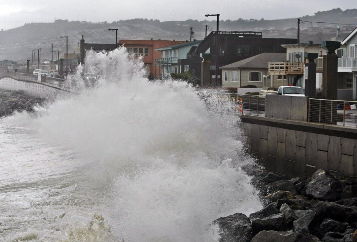
NASA and the National Oceanic and Atmospheric Administration are spearheading the new Climate Data Initiative, the White House said in a statement. The beta version of climate.data.gov will provide data sets of sea-level rise and coastal flooding. The White House also said the site would eventually provide information about the effects of climate change on the food supply, public health and energy sources.
The initiative also includes projects being launched in the private sector to provide the data about climate change through apps, “cloud” computing and Web tools.
“By taking the enormous data sets regularly collected by NASA, NOAA, and other agencies and applying the ingenuity, creativity, and expertise of technologists and entrepreneurs, the Climate Data Initiative will help create easy-to-use tools for regional planners, farmers, hospitals, and businesses across the country—and empower America’s communities to prepare themselves for the future,” John Podesta, a counselor to the president, and John P. Holdren, director of the White House Office of Science and Technology Policy, said in a joint statement.
Over the last few weeks, the White House has rolled out climate change initiatives at a rapid clip. In February, the administration created so-called climate hubs under the Agriculture Department to connect farmers and ranchers with universities, industry groups and federal agencies to help prepare for disasters worsened by climate change, such as wildfires, pests, flooding and drought.
Obama has also directed the Environmental Protection Agency and the Transportation Department to develop a new generation of tougher fuel economy standards for heavy-duty long-haul trucks. The draft rules are due by March 2015 and the final version a year later.
The president also plans to ask Congress for $1 billion in his 2015 budget to establish a “climate resiliency fund” that would finance research, preparation and infrastructure to adapt to extreme weather driven by global warming.
NOAA, NASA and other federal agencies provide detailed regular reports about long-term climate trends. NOAA routinely distributes short-term seasonal reports for the country that focus on the outlook for extreme weather events. The Climate Data Initiative aims to host the information in one place where it could be used to create long-term outlooks for towns or regions about the potential effects of climate change, such as the estimates for sea level rises that could affect coastal construction.
The White House also announced more than a dozen private sector initiatives that would try to build tools and create new ways to disseminate the data. Google, for instance, is working with the Desert Research Institute, the University of Idaho and the University of Nebraska “to provide drought mapping and monitoring for the entire continental United States in near real-time.”
The nonprofit Climate Central, which reports on climate change, will offer a free Web tool that would provide “local projections, maps, and assessments of exposure to sea level rise and coastal flooding tabulated for every coastal ZIP Code, municipality, county, and state in the U.S.” The assessments would “cover more than 100 demographic, economic, infrastructure and environmental variables using data drawn mainly from federal sources.”
Twitter: @neelaeast
More to Read
Sign up for Essential California
The most important California stories and recommendations in your inbox every morning.
You may occasionally receive promotional content from the Los Angeles Times.


