Satellite images show the collapse of the Indonesian volcano that triggered last week’s tsunami

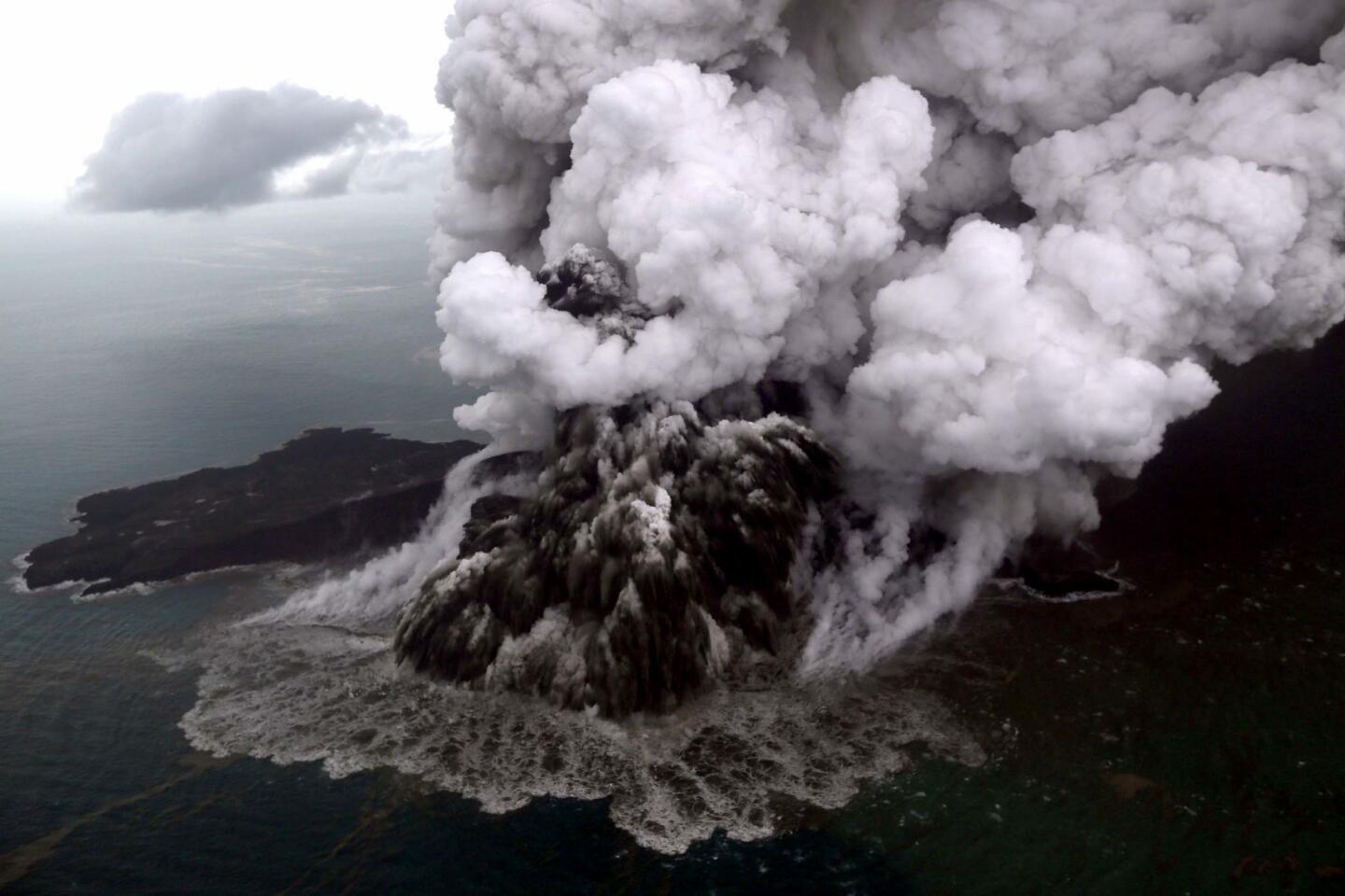
Radar data from satellites, converted into images, show Indonesia’s Anak Krakatau island volcano is dramatically smaller after a weekend eruption that triggered a deadly tsunami.
Satellite photos aren’t available because of cloud cover, but radar images from a Japan Aerospace Exploration Agency satellite taken before and after the eruption show the volcano’s southwestern flank has disappeared.
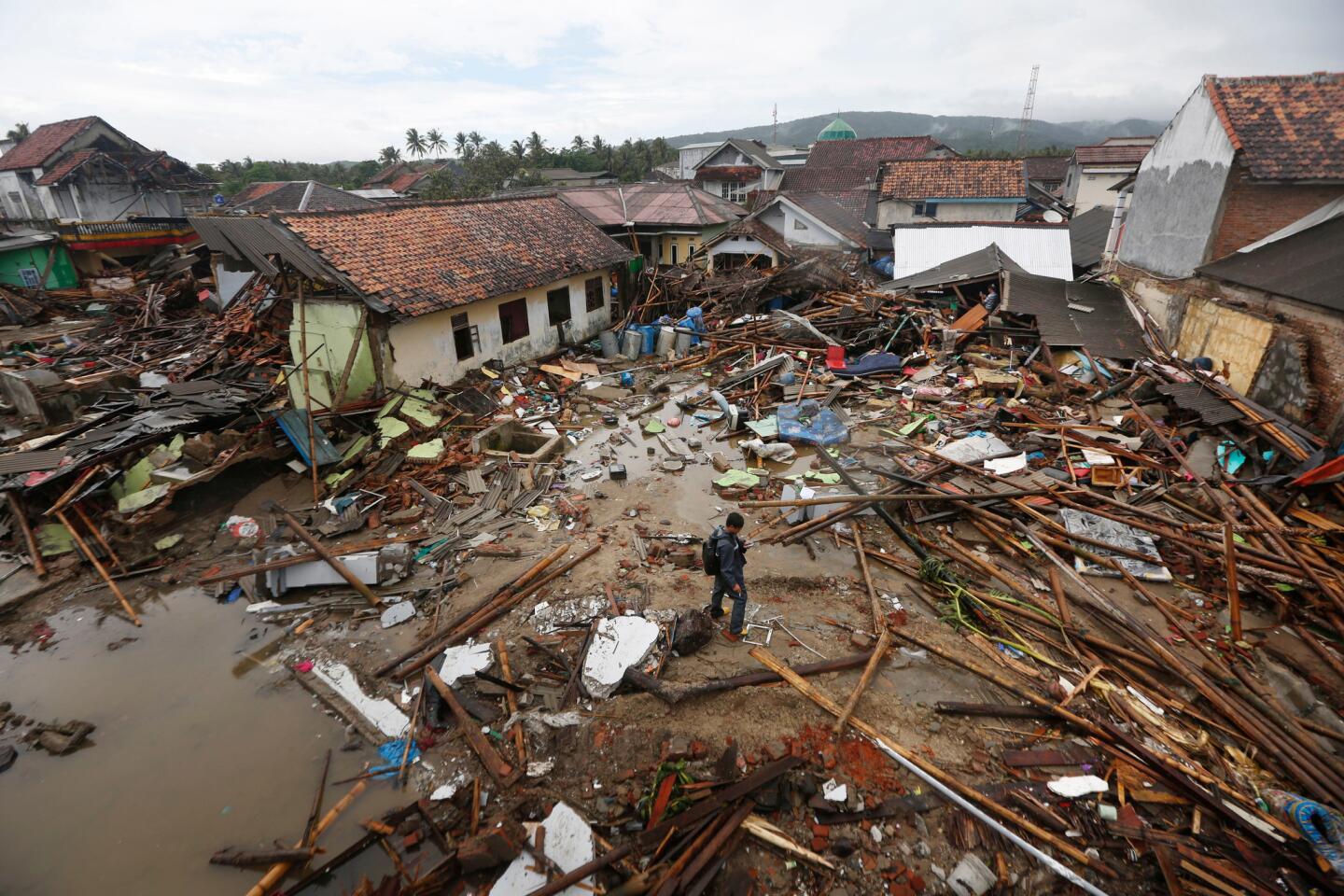
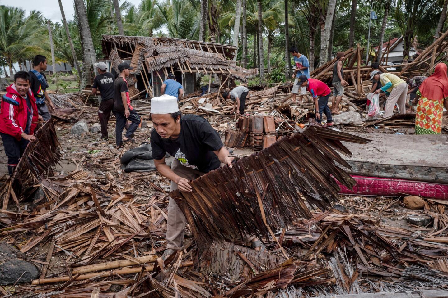
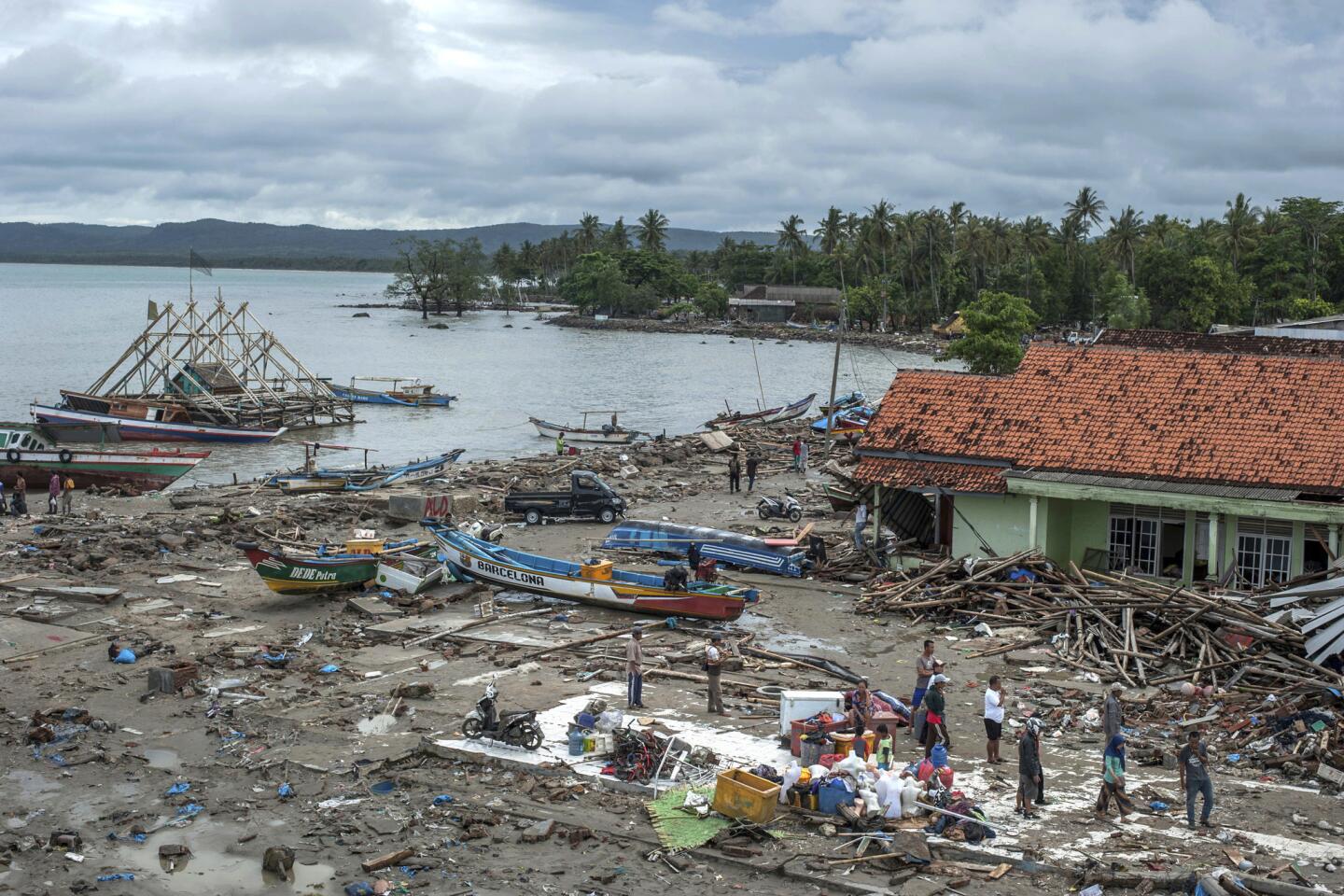
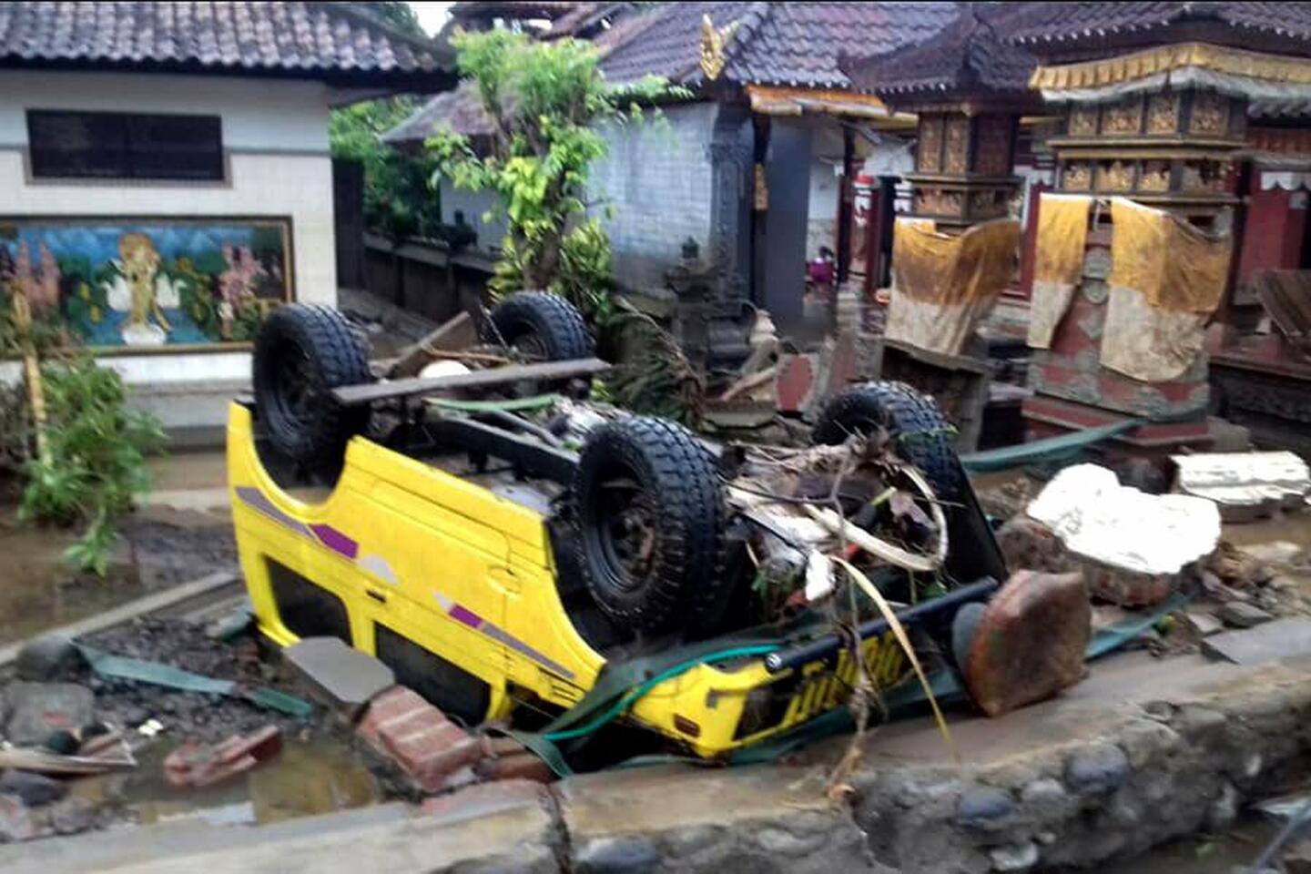
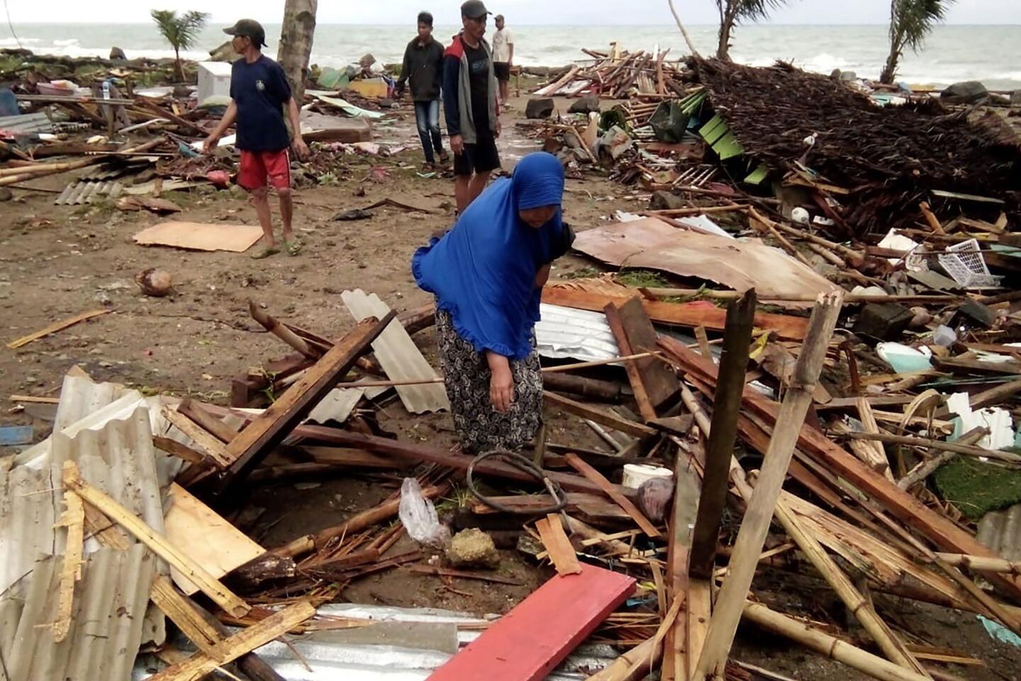
Dave Petley, head of research and innovation at Sheffield University, who analyzed similar images from a European Space Agency satellite, said they support the theory that a landslide, most of it undersea, caused the tsunami that killed at least 430 people on Saturday evening.
“The challenge now is to interpret what might be happening on the volcano, and what might happen next,” he wrote in a blog.
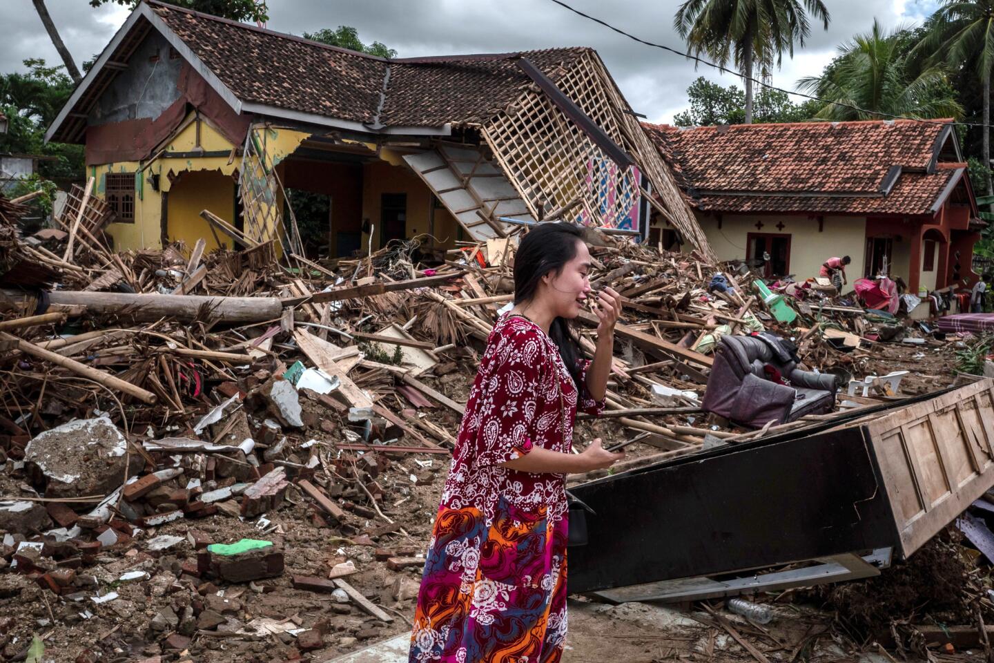
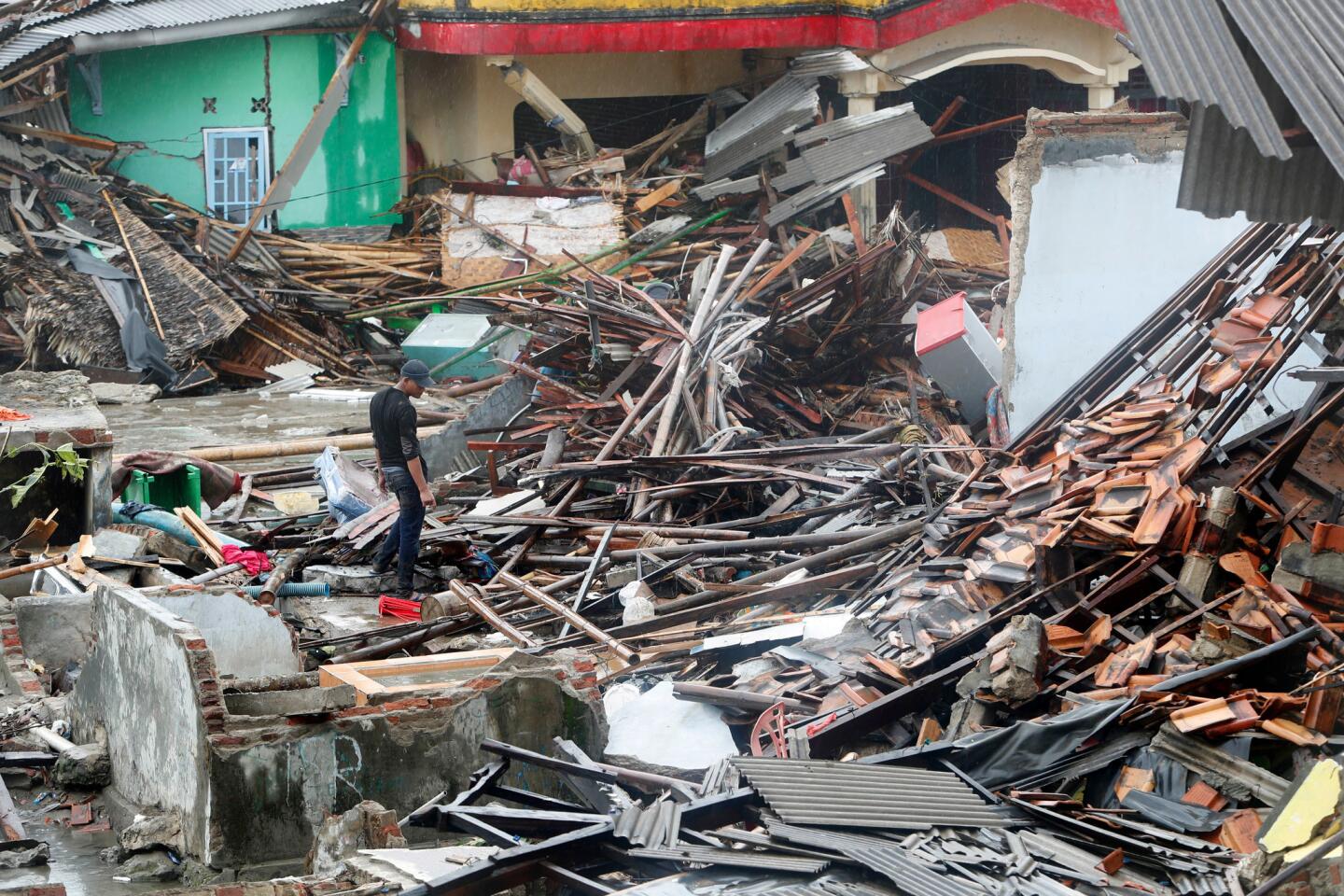
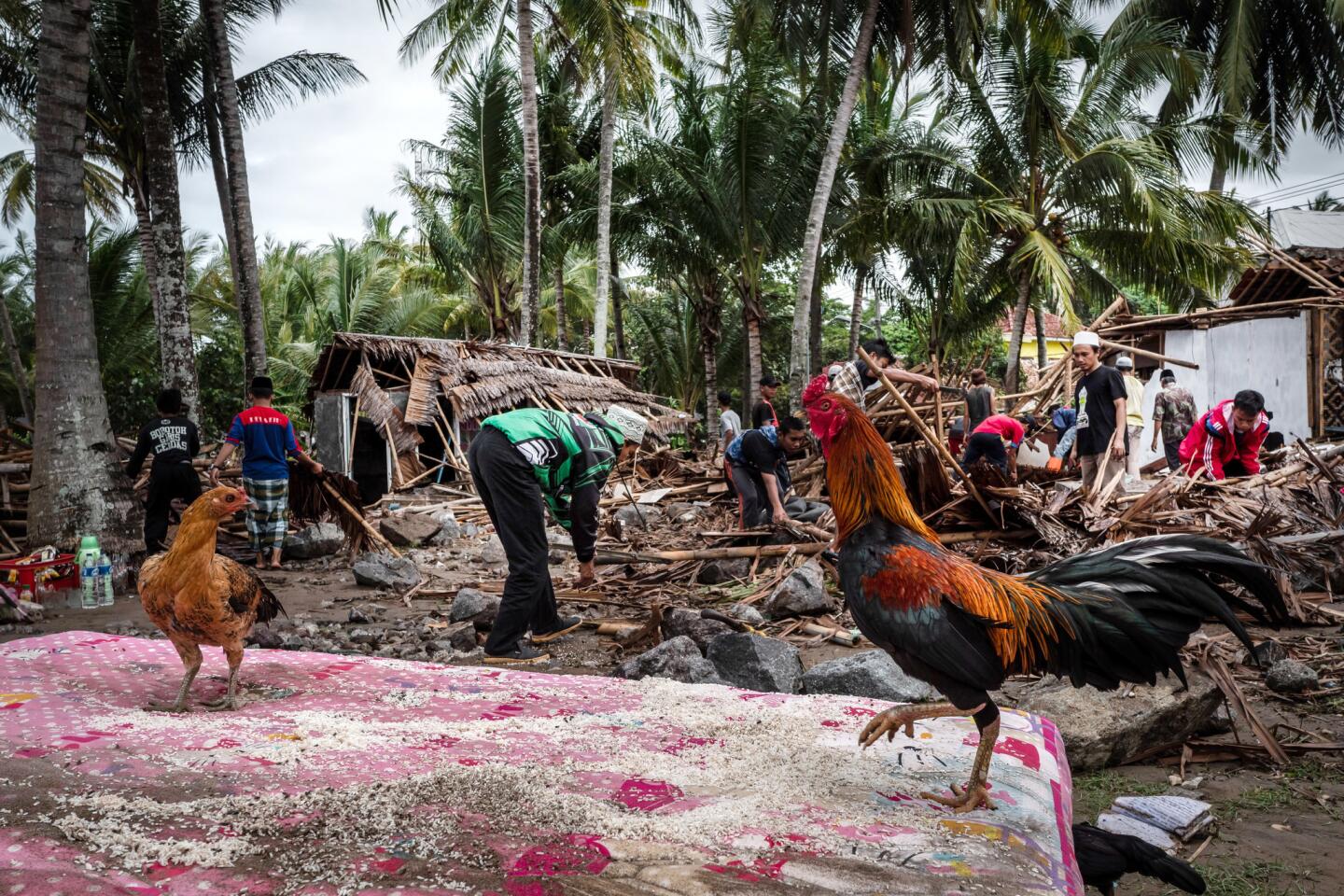
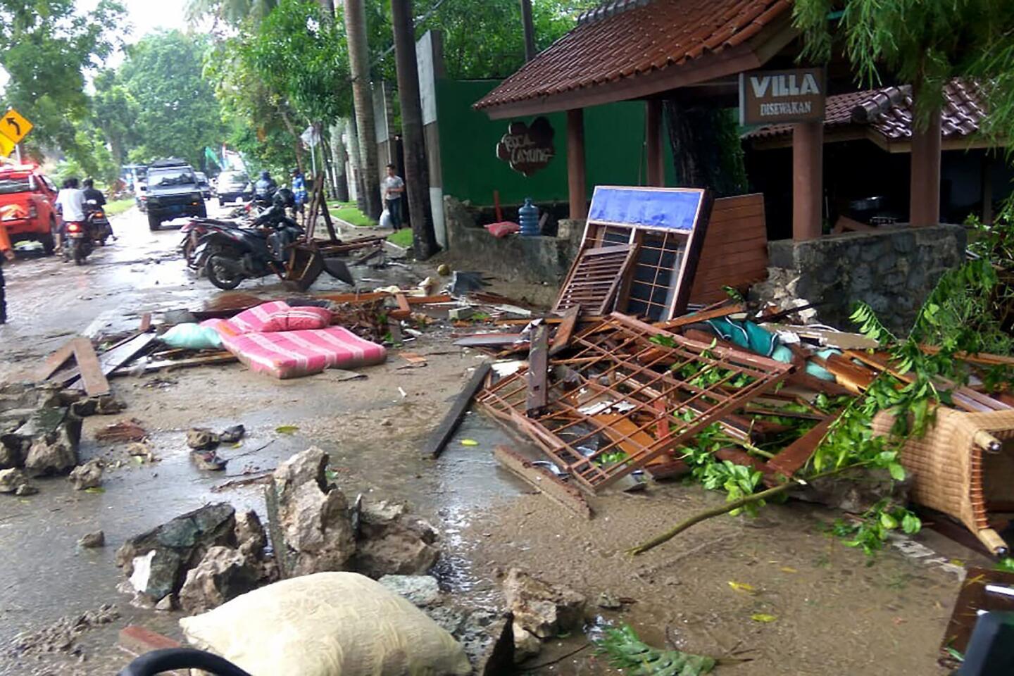
Indonesian authorities are warning people to stay a kilometer (less than a mile) away from the Sunda Strait coastline because of the risk of another tsunami.
JAXA’s post-eruption image shows concentric waves radiating from the island, which experts say is caused by ongoing eruptions.
Anak Krakatau, which means child of Krakatau, is the offspring of the infamous Krakatau volcano that affected global climate with a massive eruption in 1883.
Anak Krakatau first rose above sea level in 1929, according to Indonesia’s volcanology agency, and has been increasing its land mass since then.


Start your day right
Sign up for Essential California for news, features and recommendations from the L.A. Times and beyond in your inbox six days a week.
You may occasionally receive promotional content from the Los Angeles Times.


