Costa Mesa to overrule claim that housing element could threaten airport buffers

- Share via
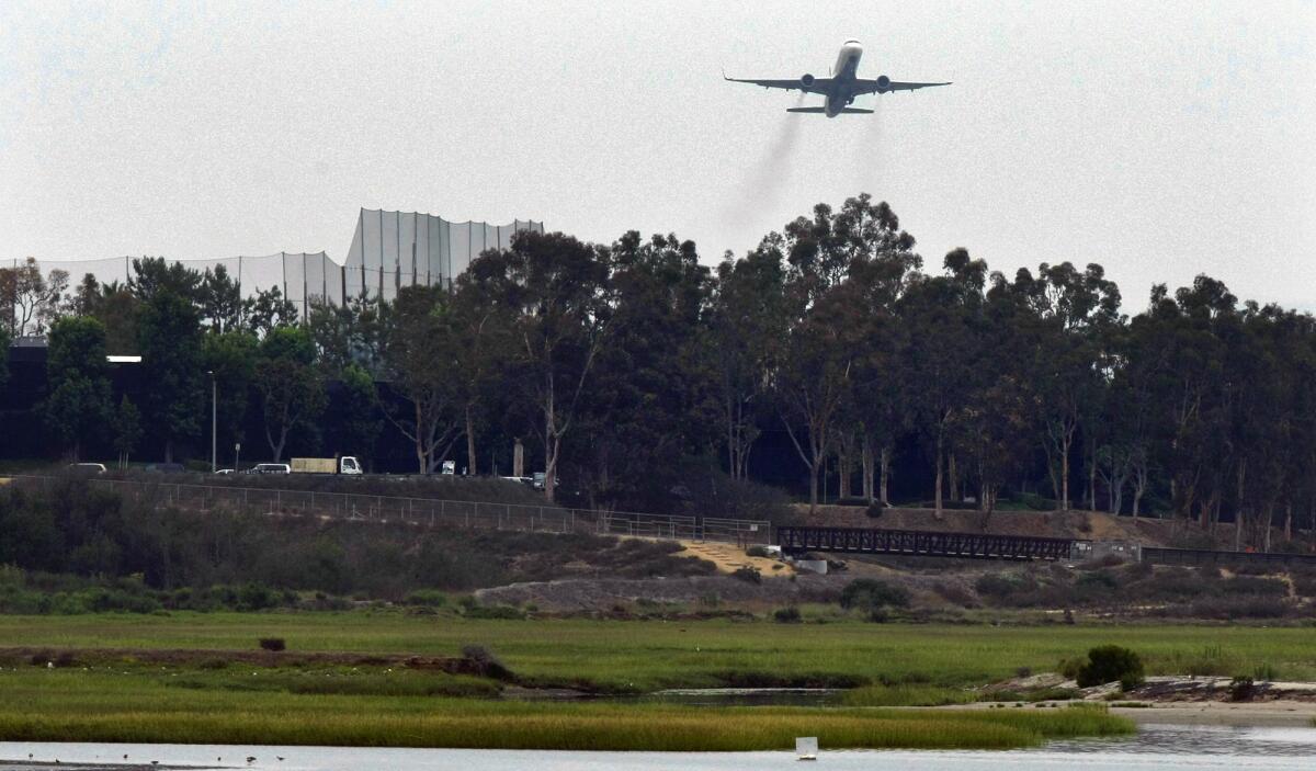
Costa Mesa officials Tuesday overruled an objection to the city’s recently finalized housing element that claimed some height allowances identified in the plan, if realized, could encroach into a buffer designed to protect navigable airspace near John Wayne Airport.
Council members considered in the first of two public hearings a determination made last month by the Airport Land Use Commission, an advisory body designed to ensure compatibility between local land use and development and that of nearby airports.
Commissioners found nine of 99 potential housing projects described in Costa Mesa’s new housing element, if built to maximum height allowances, would interfere with an “imaginary horizontal surface” — set by the Federal Airline Administration at 206 feet above sea level — which aims to protect aircrafts’ path of travel near runways.
The latest version of the housing element describes how the city would accommodate, through zoning and land use, an additional 11,733 residential units by 2029, as mandated by the state.
The nine proposed sites are on the city’s northeast end near John Wayne Airport and the 405/55 freeway interchange on portions of Anton Boulevard, Bristol Street, Sunflower Avenue and Park Center Drive. Built to maximum specifications, their encroachment would be anywhere from 3 to 5 feet.
Scott Drapkin, the city’s assistant director of Developmental Services, explained while the Airport Land Use Commission has authority under the state’s Public Utilities Commission to review anything that influences its own planning areas, its determination is not set in stone.
“ALUC is an advisory agency, and the final land use determination rests with the city,” he told the City Council.
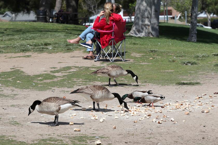
TeWinkle Park’s pond area attracts human and waterfowl alike. But recent and increasingly frequent donations of massive amounts of bread have animal lovers concerned for the health of ducks and geese there.
Drapkin, who appeared before ALUC members at a March 17 meeting, said commissioners used topographical data compiled by Google Maps to determine how many feet above sea level buildings of a specified height would be situated.
“[That] clearly is not accurate to 3 to 5 feet,” he said. “When staff was presentation to the commission, we suggested this may not be as big an issue as they believe it to be.”
Mayor Pro Tem Andrea Marr clarified any potential inconsistencies with ALUP’s own land use plans would come back for discussion by city officials if, at any time, the proposed sites moved into the building phase.
“Realistically, when a plan comes back for one of those locations it will probably go through this exact same process all over again,” she said. “This [decision] feels like it’s fairly cursory for the sake of getting a housing element certified.”
Council members agreed, ultimately voting 6-0 (Councilwoman Arlis Reynolds was absent) to move toward overruling the commission’s determination, giving the agency 30 days to respond ahead of a second hearing, which must be scheduled 45 days after Tuesday’s decision.
All the latest on Orange County from Orange County.
Get our free TimesOC newsletter.
You may occasionally receive promotional content from the Daily Pilot.


