From the Archives: Pacific Coast Highway in Pacific Palisades
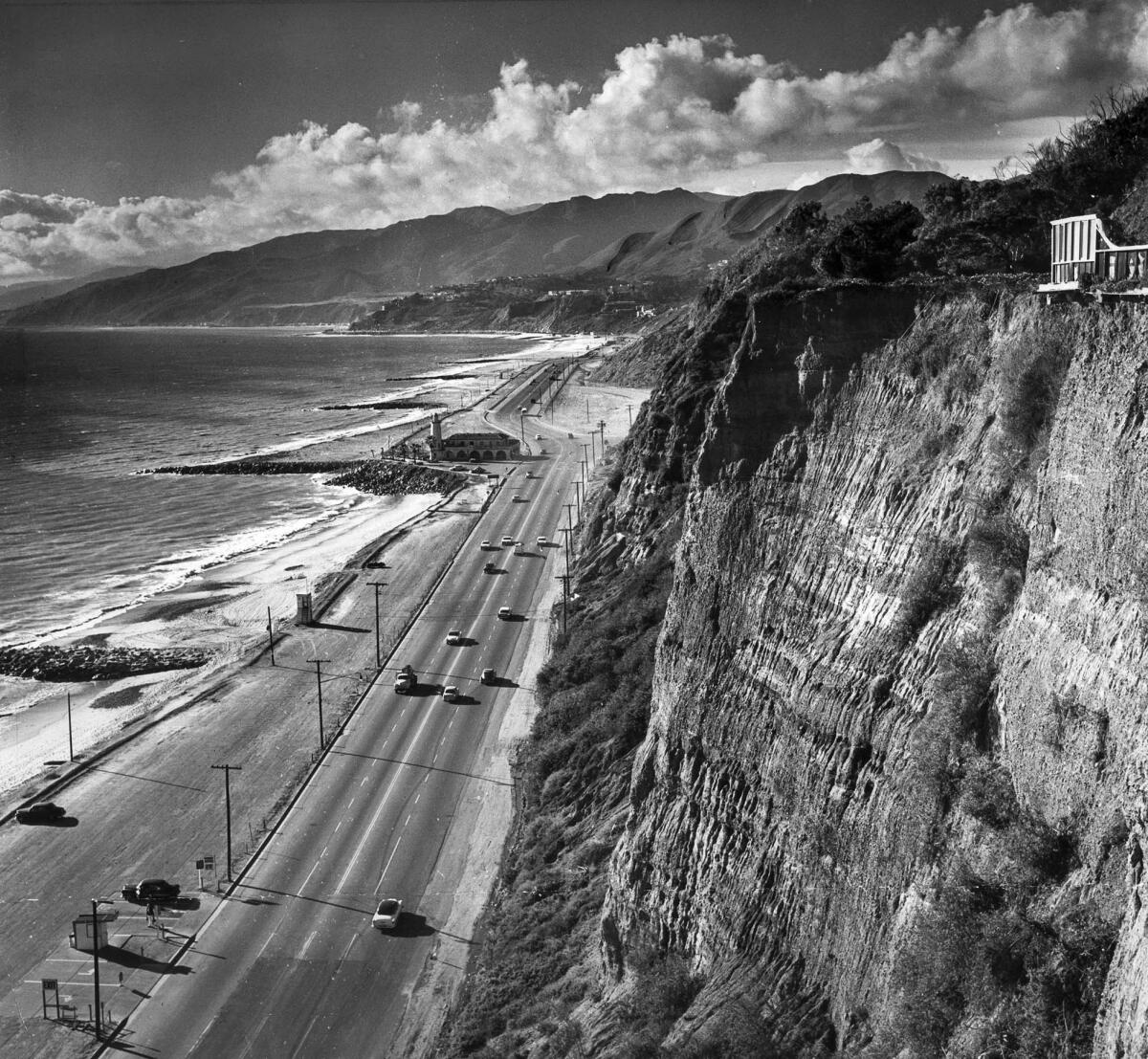
Here’s a gallery of images of Pacific Coast Highway taken from similar spots in Pacific Palisades. The oldest image is from 1930.
Enjoy,
Scott Harrison
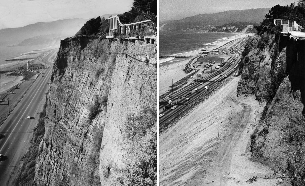
Both of these images were taken from a spot north of Chautauqua Boulevard in Pacific Palisades. These two images appeared in the July 13, 1980, Los Angeles Times with this caption:
Shot from approximately the same location, these two photographs show the toll of erosion between 1961, left, and today. The same bend in the Pacific Coast Highway can be seen in the distance in both photos. But in the 19 intervening years, the earth has fallen away from beneath the patio. Bluffs have eroded to the point where it has been necessary to haul in dirt to create supporting slope below….
The left image was taken on Feb. 4, 1961, by staff photographer Mary Frampton. The right image was taken on July 9, 1980, by staff photographer George Fry.
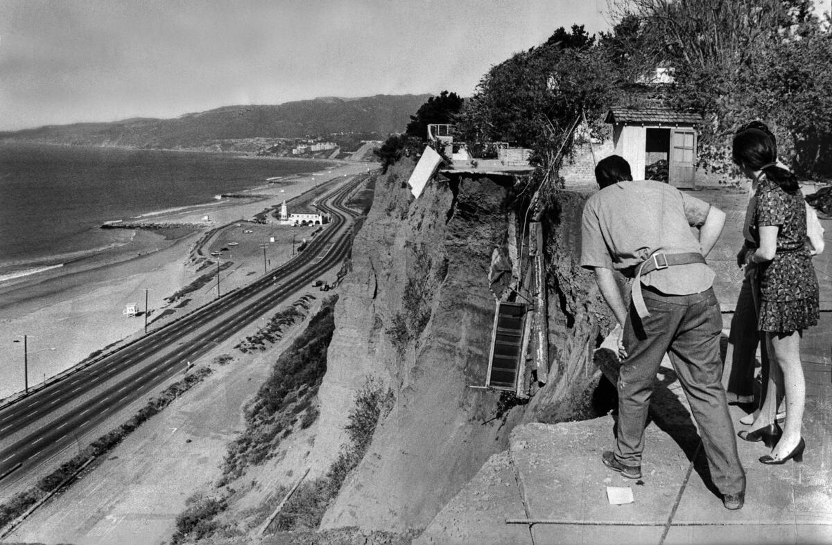
This 1971 image by Frank Q. Brown was taken near the same location as the two images above.
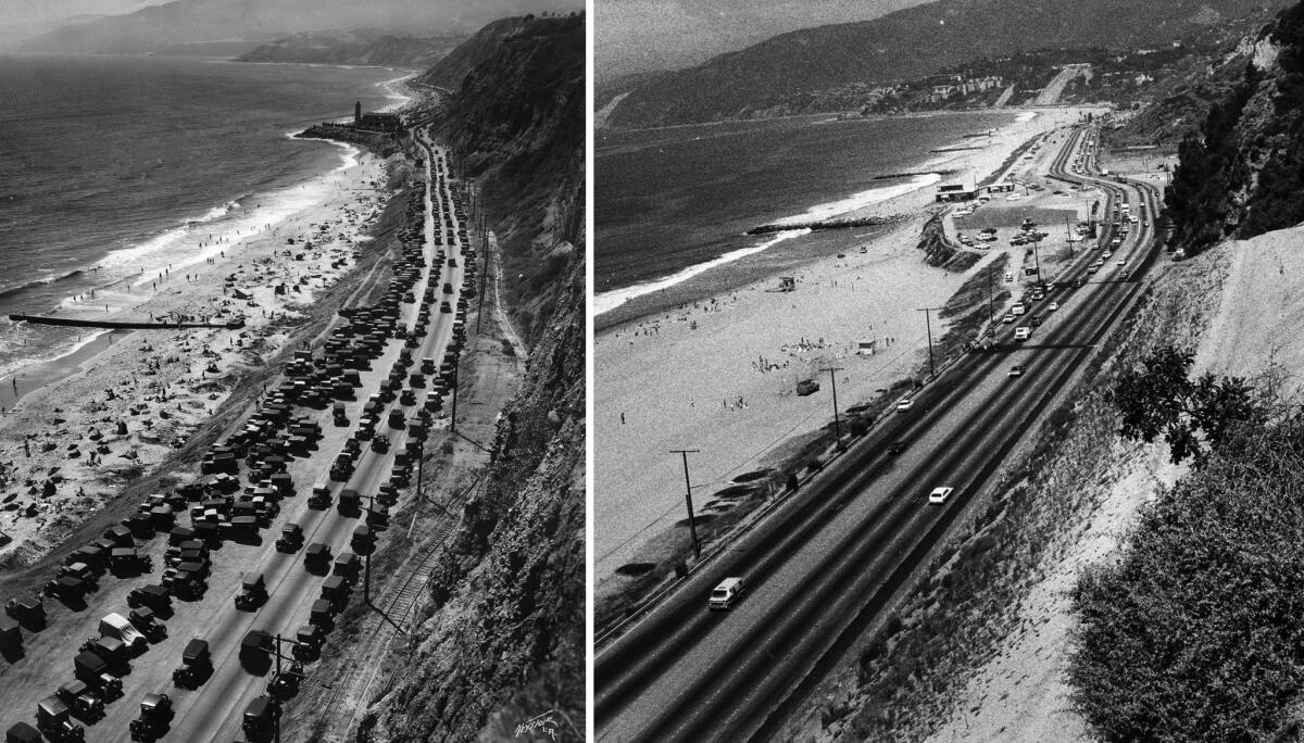
Above is another two-photo combination published in the July 13, 1980, Los Angeles Times. The combined caption reported:
These two photos, taken from nearly the same spot, show how Pacific Coast Highway has been shifted toward the sea between 1930, left, and today, thanks to the crumbling of large sections of bluffs. The building in the current photo is a lifeguard station at Will Rogers State Beach. The station stands approximately where an earlier building and tower stood in 1930. Beyond that, the current roadway swings far to the left of its 1930 path because of a large landslide in the late 1950s.
The left photo was taken on June 22, 1930, by the Keystone photo agency. The right image was taken July 9, 1980, by Fry.
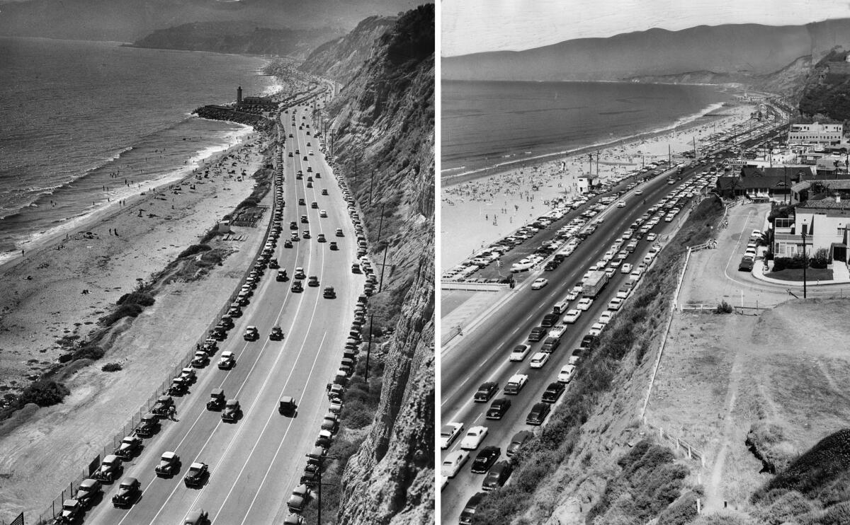
These final two images are from different locations. On the left is a 1940 image of Pacific Coast Highway in the Pacific Palisades area similar to the previous images. On the right is a July 4, 1957, image taken about a mile south. Staff photographer S. A. Hixon took the right image from Inspiration Point at Palisades Park in Santa Monica.
Sign up for The Wild
We’ll help you find the best places to hike, bike and run, as well as the perfect silent spots for meditation and yoga.
You may occasionally receive promotional content from the Los Angeles Times.
