Oregon: Free map of nine bike-worthy routes in the Beaver State
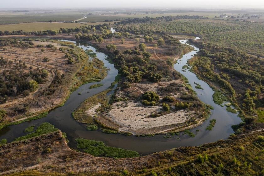
Covered bridges in Oregon? Lane County in the Willamette Valley claims to have more intact covered bridges than anywhere else west of the Mississippi River. Cyclists who follow an easy 38-mile bike course will see the bridges as well as small towns and Dorena Lake at the foot of the Cascade Mountains.
The deal: The route is one of nine Scenic Bikeway Itineraries featured on a free map for travelers intent on seeing the state from the seat of a bicycle. Longer routes in the eastern part of the state include the Grande Tour Scenic Bikeway, a 134-mile route along some sections of the original Oregon Trail, and the Old West Scenic Bikeway, which covers 175 miles through ponderosa pine forests and along rivers. But there are plenty of one- and two-day trips too.
When: The free map is available indefinitely.
Details: There are two ways to access the scenic bike-way routes, and I recommend both. Go to the online bikeways website where each route is detailed with interactive maps that provide information on mile markers, lodgings, food stops, etc. It’s a good way to plan your trip in advance.
Then go to the Travel Oregon website, which features Travel Guides, and order a print version of the map to take on your trip. Both versions are free -- and ideal for planning a two-wheel tour.
Contact: Travel Oregon, (800) 547-7842, or call Oregon Parks and Recreation, (800) 551-6949
More to Read
Sign up for The Wild
We’ll help you find the best places to hike, bike and run, as well as the perfect silent spots for meditation and yoga.
You may occasionally receive promotional content from the Los Angeles Times.


