Hop in, hang on and enjoy Death Valley
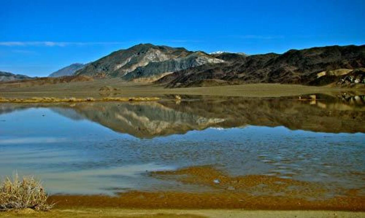
Death Valley National Park is a tease. You can see some of its famous sites from the highway, but many of the park’s attractions are hidden at the end of miles of dirt road.
You can reach some of them in the family sedan, which should still be intact, if dusty. But for roads of questionable character, it might be wise to leave the driving to someone else.
For peace of mind, I decided to join a Pink Jeep tour, now in its first season, for a modern-day ‘49ers expedition to the Racetrack Playa, a mysterious destination. No covered wagon for me but, instead, a Trekker, a plush, customized fortress on wheels. Not wagon wheels either, but six off-road tires with reinforced sidewalls.
Planning your trip
Pink Jeep Tours offers off-road trips to the Racetrack Playa and Ubehebe Crater ($165 per person for six hours), the Charcoal Kilns, Aguereberry Point and Mosaic Canyon ($129 for four hours) and Titus Canyon ($119, three hours). Reservations must be booked online at https://www.pinkjeep.com or (888) 900-4480.
Farabee’s Jeep Rentals, across from the Furnace Creek Inn in Furnace Creek, Death Valley, (760) 786-9872, https://www.deathvalleyjeeprentals.com. Rates are $175 and $195 for a 24-hour period for a two- or four-door Jeep Wrangler.
Pink Jeep Tours and Farabee’s are closed from mid-May to mid-October.
Guide Brad Chapman picked me up at Furnace Creek early one late-winter morning and, half an hour later at Stovepipe Wells, John and Dace Roll, visitors from Portland, Ore. We cruised north past the Mesquite sand dunes on Scotty’s Castle Road, a ribbon of asphalt bracketed by massive mountains that plunge toward the valley floor in steep, treeless escarpments.
The road makes an about-face and heads south, sans paving, at Ubehebe Crater. The plentiful (for the desert) winter rains that portend a colorful wildflower season had softened the ground and allowed maintenance crews to grade the road. It is in far better shape than last fall, when pronounced washboard ruts prompted me to postpone my visit to the Racetrack Playa until now.
Improved but not without jolts, the road’s surface shook the Trekker and set off the retractor mechanism of my seat belt that locked me into place. I was not going anywhere. Shaken but not stirred, I knew it could be — apparently, has been — worse. “Before they graded the road, it was so bumpy because of the washboard that one of the windows broke,” Chapman says.
We reached a broad shoulder where a forest of Joshua trees capitalized on the moist, cool 5,000-foot elevation. The Trekker’s thermometer said 44 degrees. “Enjoy it while you can, dear Joshua trees,” I thought. “It won’t be long before you’ll have to endure days twice as hot for months on end.”
After 20 miles of dirt road, we paused to inspect the collection of stainless steel and ceramic wares that hangs from Teakettle Junction’s directional sign, a bright contrast to the stark landscape. Chapman picked up broken fragments of a kettle that was undamaged only the day before. He wondered aloud about a group of motorcyclists.
Six more miles and we reached the edge of the playa, a dry lake bed, wedged between the Cottonwood and Last Chance ranges. “You tell people about the Racetrack, and they look at you,” Dace Roll says. “What are you talking about?” Not ponies. It is instead a playground of rocks, from cobblestones to small boulders, that apparently move about its exceptionally flat surface — on their own.
“The most accepted theory [for the apparent self-propulsion] is a combination of freezes on the playa and wind events that are strong enough to move rocks around,” Death Valley chief ranger Brent Pennington explains in a later interview. It was a plausible hypothesis but, because no one had witnessed the actual movements, did not quiet speculation. If tracks in the sand indicate that the rocks move, could it be the result of alien intervention? If little green men have nothing to do with it, could mischievous little brats be rolling the rocks for fun?
We know with certainty that the rocks tumble down the steep slopes that abut the southern periphery of the playa before they embark on their improbable journey. “Yesterday you could not walk on this playa,” Chapman says, pointing to a receding line of murky water that encircled the rocks and covered the telltale tracks.
He says some visitors ask, “Is that all there is?” Dace Roll finds an elemental humility in the landscape: “It’s nature at its best,” Roll says. “It makes you feel like you don’t measure up too much. It is so clean, simple, linear.”
On the walk to the Grandstand, an island outcrop of quartz monzonite near the northern end of the now waterless playa, our group contemplated the hard-packed sand, with its repetitive geometric pattern, as potential tile flooring. We pursued the commercial prospects after we piled back in our Pink (“Is that a factory color? I hope not,” John says) Jeep Trekker for the return trip, but my somnolence did not allow me to formulate a marketing plan. I snapped back to reality when Chapman slammed on the brakes for an antelope ground squirrel, the only critter we saw.
Pink Jeep also conducts other off-road Death Valley tours to the Charcoal Kilns, Aguereberry Point and Mosaic Canyon, as well as Titus Canyon. For those who want to explore the park’s vast interior and 1,000 miles of dirt roads on their own, Farabee’s in Furnace Creek rents modified Jeep Wranglers. “The rangers are my best advocates,” owner Mike Farabee says. “They send people up here.”
Rangers know the desert is unforgiving, and tales of ill-equipped, stranded motorists abound.
Farabee’s Wranglers come with automatic transmission, air conditioning, 3.8-liter V6 engine and a 2-inch suspension lift. More than enough, he says, to tackle the Racetrack and the narrows of Titus Canyon, the road to the Eureka Sand Dunes and the mines of Warm Spring Canyon, and the Needle’s Eye arch in Echo Canyon.
A complimentary satellite tracker can signal for help when things go wrong. The “Help” button generates an e-mail with latitude and longitude coordinates, which Farabee will use to dispatch assistance. For more serious emergencies (“They’ve got to be bleeding a lot”), pressing “911” will initiate a response from park rangers.
More to Read
Sign up for The Wild
We’ll help you find the best places to hike, bike and run, as well as the perfect silent spots for meditation and yoga.
You may occasionally receive promotional content from the Los Angeles Times.
