Infrared System Gives Firefighters a High-Tech Edge
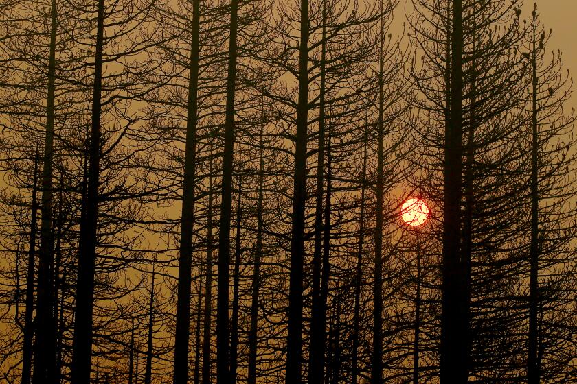
Firefighting in Los Angeles County took on a high-tech look last week when officials used heat-sensing devices and laptop computers to gain an edge over a 1,300-acre blaze that swept through the Angeles National Forest.
Packed inside a red van owned and operated by the county, an infrared mapping system was used for the first time to help determine the intensity, size, direction and hot spots of the fire, which erupted after an auto accident Monday on the Golden State Freeway near Castaic.
Even when the fire was contained, the technology was put to use.
Images on a video screen pointed out hot spots--ranging from hidden embers to burning grass roots under the ground--that held the potential to reignite the Castaic blaze.
“An ember can be deceiving because even if it’s only smoldering, it can be hot enough that if a breeze comes a fire can break out again,” said Jay Lopez, an assistant county forester. “So you can be standing on top of a hot spot and not see it, but the infrared camera can pick it up.”
When used with other mapping devices, the black and white infrared video footage, shot from a helicopter, enabled commanders to target and direct ground crews to potential trouble spots inside and outside the fire’s containment line.
“Infrared is probably the most effective weapon you have for any fire,” said Keith Deagon, a deputy county forester. “Like an air force or tankers . . . it’s your method of attack.”
From 3,000 feet above the fire’s perimeter, Michael Takeshita, an assistant county forester, used an infrared camera to search for leftover embers and other heat sources Friday.
Meanwhile, on the ground, Lopez used a radio to direct Takeshita’s video coverage from the helicopter. He also used data collected from an automatic tracking antenna attached to the van, which logged the latitude and longitude of the helicopter every two seconds as it circled the fire.
After taking infrared videos, Takeshita repeated the trip, taking a color video of the same area.
Landmarks and hot spots identified from the two videos and the helicopter readings were entered into a laptop computer, which instantly transformed the information into a map of the fire.
From start to finish, the blueprint of the fire took around 30 minutes to produce, Lopez said.
County fire officials and the U.S. Forest Service began a joint effort three years ago to create the mapping system. The infrared technology used is similar to that employed by the U.S. military for combat purposes, Deagon said. The U.S. Forest Service supplied the technology and the County Fire Department contributed the van and personnel, he said.
The county’s $250,000 infrared mapping system is one of only five such mapping systems in California, Washington, Idaho and Alaska, Deagon said.
“The bottom line is that most fire departments or agencies don’t have the money to fund a piece of equipment like this,” Deagon said.
More to Read
Start your day right
Sign up for Essential California for news, features and recommendations from the L.A. Times and beyond in your inbox six days a week.
You may occasionally receive promotional content from the Los Angeles Times.
