L.A. weather: Gloomy cool-down expected today into weekend
It’s not quite June yet, but Angelenos will be getting a fair dose of gloom this weekend, forecasters said.
After a mini-heat wave that sent temperatures soaring as high as 15 degrees above normal this week, a low-pressure system could bring persistent low clouds and cool inland areas down to the low-70s by Saturday, according to the National Weather Service.
The cool-down comes a bit later than expected; forecasters had predicted that downtown and valley areas would see some relief from the heat Wednesday, but cooler ocean air stayed west of the 405 Freeway, and some inland areas saw the mercury rise to the mid-90s.
“April’s the most variable weather month we have,” said Andrew Rourke, a senior forecaster at the National Weather Service. “If you wake up today, you’d think it’s June.”
Los Angeles will experience a slight cooling over the next two days, with a thick marine layer along the coast and downtown that should burn off by mid-morning.
On Saturday, the cool coastal air will reach as far inland as the San Gabriel and San Fernando valleys, even bringing a slight drizzle to some foothill areas that morning.
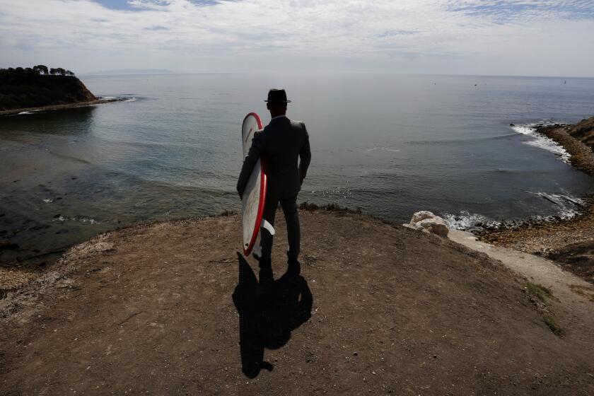
“Saturday looks really pretty grim,” Rourke said, with the coastal temperatures in the mid-60s and the valleys in the low 70s. “Not a beach day at all.”
The low-pressure system is expected to move out late Saturday, bringing a two- to three-degree bump in temperatures for Sunday and Monday, followed by a possible slight cooling trend the middle of next week.
christine.maiduc@latimes.com
Twitter: @cmaiduc
More to Read
Sign up for Essential California
The most important California stories and recommendations in your inbox every morning.
You may occasionally receive promotional content from the Los Angeles Times.
