Communities near forest charred by Lake fire may face new threat: debris flow
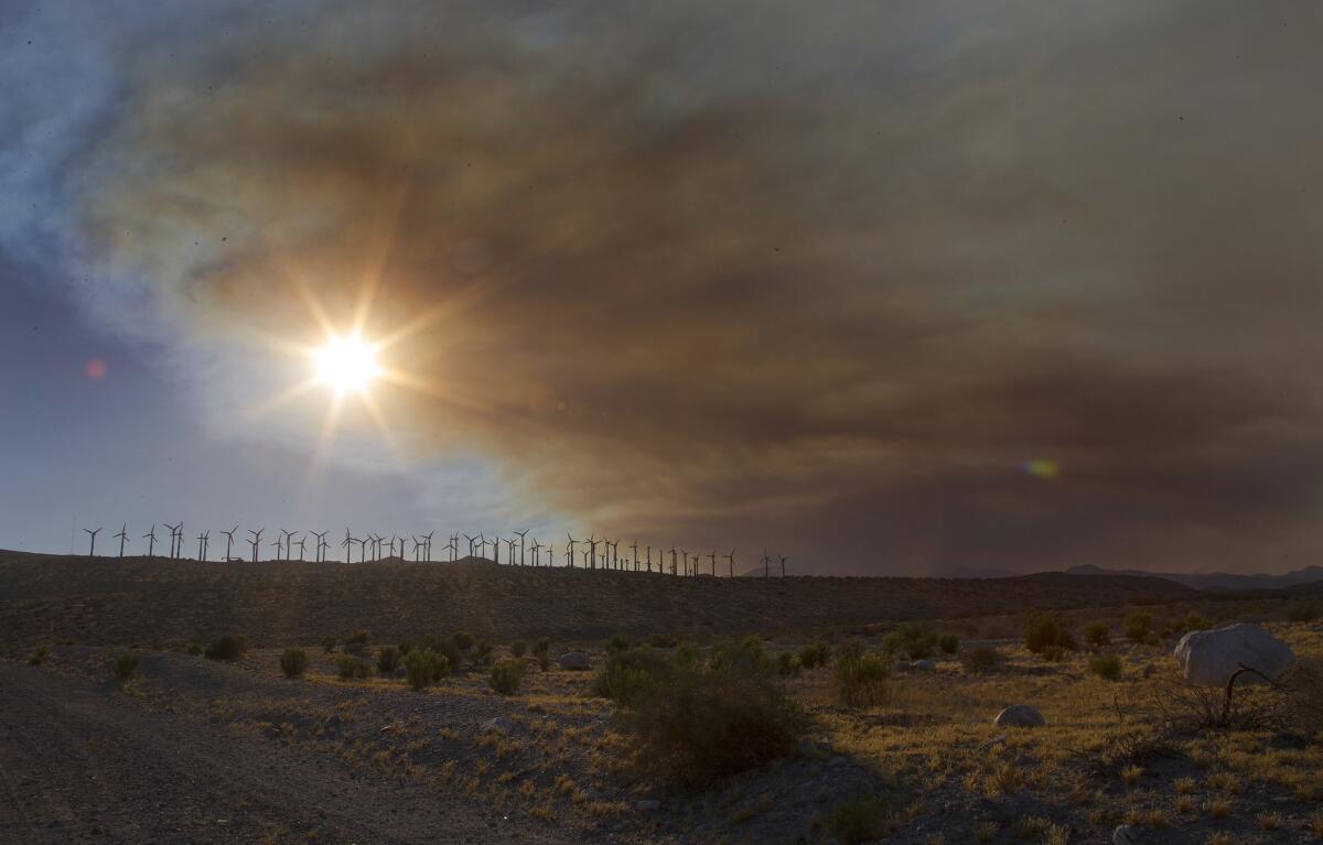
A giant plume of smoke from the Lake fire hovers over the windmills near the 10 Freeway on June 25 in Cabazon.
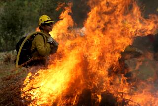
Now that the massive Lake fire is nearly fully contained, fire officials say the devastation left in its wake could bring trouble during the next big storm for communities situated downstream from the scorched area.
About 2%, or 640 acres, burned in the San Bernardino National Forest during the Lake fire suffered high soil burn severity, meaning that exposed soil is unstable and susceptible to erosion, according to the U.S. Forest Service’s Burned Area Emergency Response program.
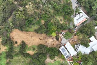
That could mean trouble for campgrounds, cabins and homes just below the path of those burned areas, according to the forest service. A rainstorm could unearth weakened soil and send it down into communities, causing flooding and debris flow.
“Summer thunderstorms and winter rain events in the San Bernardino Mountains can bring heavy rainstorms and residents and visitors should remain alert to possible flooding when traveling along roads downstream from the burned area of the Lake fire,” the forest service said.
About 70%, or 17,000 acres, are unburned or have low soil severity while about 28%, or 8,420 acres, suffered moderate soil burn.
Scientists and forest officials monitor soil severity to better predict debris flow and erosion, according to the U.S. Department of Agriculture.
The forest service, the National Conservation Service and the Inland Empire Resource Conservation District are working to assist private landowners and prepare them for potential debris flow during the upcoming El Niño event.
According to the latest National Weather Service report, there is a 90% chance that an El Niño will continue through the Northern Hemisphere fall 2015. There is an 85% chance the weather event will last through the 2015-16 winter.
Much like the 2009 Station fire, which charred 161,189 acres in the Angeles National Forest, communities below the burned area were left vulnerable to mudslides due to weakened soil.
For months, local, county, forest and sheriff’s officials urged residents living in La Crescenta and La Cañada Flintridge to safeguard their homes. Concrete barriers were strategically placed in hillside neighborhoods to carry mud away from homes.
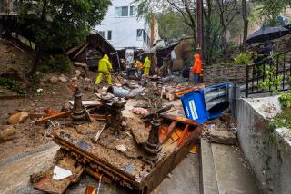
Then in the months after the blaze, heavy rainstorms sent waves of mud and debris into a La Cañada neighborhood, destroying homes and cars.
The area’s debris basin overflowed with mud and rocks and the protective barriers were overrun with debris.
For the Station fire, the soil severity was much higher.
About 81,397 acres sustained “very high” soil erosion, while 31,162 sustained high soil erosion, according to a 2009 Station fire report from the forest service. An additional 32,074 acres sustained moderate soil severity and 13,058 low severity.
At the time, forest officials suggested the probability for debris flow was greater than 80%, likely to be triggered by short, high-intensity storms.
For breaking news in California, follow @VeronicaRochaLA.
More to Read
Start your day right
Sign up for Essential California for news, features and recommendations from the L.A. Times and beyond in your inbox six days a week.
You may occasionally receive promotional content from the Los Angeles Times.
