Midwest socked by powerful Arctic freeze
A massive surge of frigid Arctic air continued to creep deep into the U.S. on Tuesday, bringing freezing temperatures that were expected to reach most of the continental United States by the end of the week.
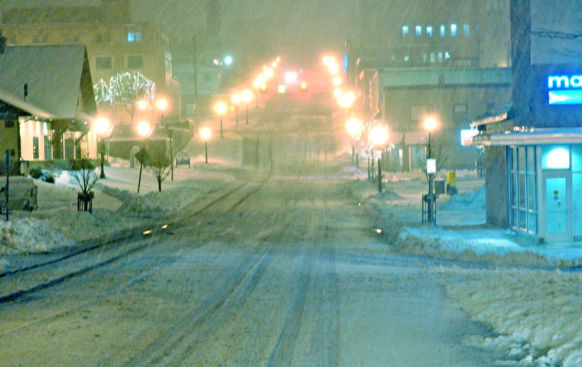
Snow fell from the northern Rocky Mountains to the upper Great Lakes for the second day -- the first significant snowfall of the season for the nation’s north.
By Tuesday afternoon, residents in Montana, Michigan, Wisconsin and Colorado saw temperatures plummet. Forecasters predicted temperatures to be 20 to 40 degrees below average for areas east of the Rockies into the Great Plains.
Denver set a record low temperature for the day at 16 degrees, beating a mark set in 1916, said National Weather Service meteorologist Frank Cooper.
Weather officials in Montana warned residents in large swaths of the state to prepare for record-setting cold Tuesday night and Wednesday night, with the temperature having hit 17 degrees below zero in Livingston.
Farther south, residents from Oklahoma City to northern Texas were told to prepare for a “hard freeze” as temperatures dipped into the low 20s -- the lowest since March.
Marquette County, in Michigan’s Upper Peninsula, is seeing potentially one of the worst snowstorms in its history.
Up to 2 feet of snow had fallen in parts of the county since Monday morning, said Kevin Crupi, a meteorologist with the National Weather Service in Negaunee, Mich.
More than 11 inches of snow had already fallen by 1 p.m. Tuesday in Negaunee, he said, smashing the record for this date of 6.5 inches set in 1977.
“Today is a blowout; we might get close to tripling the daily record,” he said.
The record snowfall was causing headaches and forced school closures across the state, including Northern Michigan University in Marquette.
And it’s only the beginning, said Danielle Perreault, 20, of Negaunee during a break from her shift at a grocery store.
She said she had to ask her brother for a ride in his four-wheel-drive truck to get out of her driveway this morning, but a couple of feet of snow is nothing to the people of the Upper Peninsula.
“For November, it is kind of a lot,” she said. “But we are ready for winter, sure, bring it on.”
It was only nine months ago that Americans east of the Rockies began emerging from one of the most brutal winters on record for several states.
“Polar vortex” was the phrase that nobody could get away from at the start of this year – a slippery term, not uniformly embraced by meteorologists, that refers to what happens when a lobe of Arctic air breaks away from its usual hovering place over the North Pole and lumbers southward.
A Kentucky inmate who escaped from prison just before the polar vortex arrived got so cold that he turned himself back in.
An unusual winter storm that hit Louisiana, Mississippi, Georgia and Alabama at the end of January had Southern drivers struggling to cope with just a few inches of snow.
That storm unexpectedly turned Atlanta into a disaster zone in one afternoon as thousands of drivers were trapped on traffic-throttled roads, with residents trying to return from school and work at the same time. Many drivers ditched their vehicles; some who didn’t saw their commutes last more than 20 hours as they inched homeward.
This week, Texans are bracing for their first freeze of the season. Forecasters in Oregon reminded residents about the threat of frostbite.
Snowplows in South Dakota were clearing the roads after the area’s first significant wintry blast of the season.
National Weather Service meteorologist Brad Adams in Sioux Falls, S.D., said, “It’s not frequent to get these kinds of snows this time of the year, but it’s not out of the ordinary.”
“Coming coldageddon/polar vortex/Novembuary = time to remind: DON’T LEAVE CAR RUNNING UNATTENDED,” the Kansas City, Mo., Police Department said in a Twitter statement to its 54,000 followers. “It could get stolen, you could get ticket.”
The good news, according to forecasters at the National Oceanic and Atmospheric Administration, is that this winter is not expected to be as bad as the last, with below-average temperatures expected only in Texas and the Deep South.
The snow is expected to taper off over the Great Lakes on Tuesday night, though lake-effect snow is expected to continue for several days.
The leading edge of the cold front will continue to move southeast, reaching the Appalachians by Wednesday morning and the East Coast by Thursday, according to the National Weather Service.
Temperatures are not expected to drop as dramatically as they have in the Midwest.
javier.panzar@latimes.com
matt.pearce@latimes.com
More to Read
Start your day right
Sign up for Essential California for news, features and recommendations from the L.A. Times and beyond in your inbox six days a week.
You may occasionally receive promotional content from the Los Angeles Times.
