Southland bracing for major winter storm
A major winter storm moving south through California is expected to bring high winds while dumping rain and snow, helping to ease a drought that officials have warned could develop into one of the worst in modern times.
Rain began falling Sunday morning in the Bay Area and moved south, carried by a low-pressure system from the northwest Pacific. When that weather pattern combines with subtropical moisture flowing from the southwest Pacific, it could produce what forecasters say would be the Southland’s biggest storm of the season.
In Southern California, rain is expected to be heavy throughout today and last into Tuesday. Winds could gust up to 60 mph in the Santa Monica Mountains and Santa Clarita Valley, and up to 75 mph in the San Gabriels.
“That’s the threshold for potentially damaging winds . . . the kind of speed that could be knocking down trees or picking tiles off roofs,” said David Gomberg, a National Weather Service meteorologist in Oxnard. Most areas of Los Angeles County are under a wind advisory for gusts of up to 45 mph.
Forecasters also warned boaters that the storm could bring gusts topping 35 knots in the coastal waters from Point Conception to Long Beach today, bringing choppy waves and treacherous conditions. Similar conditions are predicted in the coastal areas from near Dana Point to the Mexico border.
“We are expecting high surf and dangerous rip currents in all the beaches of L.A. and Ventura” counties, Gomberg said. “It will definitely be dangerous for beachgoers.”
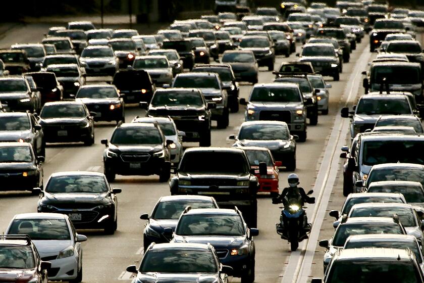
In some higher elevation areas in the San Gabriel and San Bernardino mountains, blowing snow is expected to create near-whiteout conditions. Several inches of snow and strong winds could create hazardous driving conditions on the 5 Freeway in the Tejon Pass and Grapevine areas -- with 2 to 3 feet of snow falling at high elevations.
“This is going to be very dangerous, with the winds and the snow,” said Stuart Seto, a National Weather Service specialist in Oxnard. “Near whiteout, zero visibility.”
Officials urged drivers heading to mountain areas, including the Angeles National Forest, Lake Arrowhead and Big Bear, to fill up their gas tanks, carry chains even for four-wheel-drive vehicles, and bring emergency supplies, including food, water and warm blankets. “If you don’t have to go to the mountains and the weather’s really bad, don’t travel,” San Bernardino County sheriff’s spokesman Arden Wiltshire said. “If it’s snowing and raining, wait until the weather is clear.”
In the coastal and valley areas of Southern California, 1 to 3 inches of rain is expected, with up to 5 inches in mountain areas. Temperatures could drop to between 19 and 29 degrees tonight in the mountains.
January was unusually dry, and California has appeared headed for the third straight year of severe drought, eliciting dire warnings from water officials about dropping reservoir levels and the skimpy Sierra snowpack. Los Angeles Mayor Antonio Villaraigosa last week called for a water rate hike and limits on landscape watering to conserve water supplies.
Despite the recent bout of rain, Los Angeles trails nearly 2 inches behind the rainfall average for this time of year.
But Seto said the Presidents Day storm could change that. “This week is going to put us up near normal as far as rainfall.”
Higher elevation areas of the northern and central Sierra Nevada, a vital water source for the state, could see up to 4 feet of snow in the next two days.
“It’s not unreasonable to assume if we stay wet, we’ll catch up to normal by the end of the week,” said Steve Goldstein, a forecaster with the National Weather Service in Sacramento. “I’m somewhat optimistic we’ll end up with a near normal or even slightly above normal winter,” in Northern California.
That will not end the drought, but it will help.
“We would need a very, very wet winter to alleviate the drought,” Goldstein said. “But at least we may not have a third consecutive dry winter -- so it could stop the bleeding.”
Goldstein said La Nina conditions have developed, but they are much weaker than last year’s, which resulted in a parched spring that was one of the driest on record.
Seto said the long-term forecast for Southern California was hard to call. There are equal chances that March precipitation will be normal, above average or below average.
After this storm clears, it should remain dry through next weekend, he said.
--
maeve.reston@latimes.com
More to Read
Sign up for Essential California
The most important California stories and recommendations in your inbox every morning.
You may occasionally receive promotional content from the Los Angeles Times.


