More wind, more danger
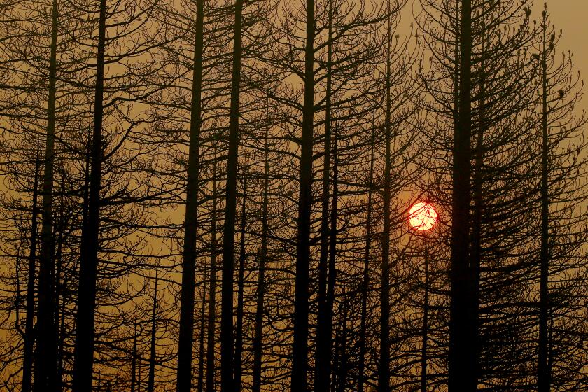
A new blast of Santa Ana winds is expected to bring gusts as strong as 50 mph -- and renewed fire danger -- to canyons and mountain areas across Southern California beginning this morning.
The winds could be followed by the end of the week by much-needed rain, but forecasters warned that the expected light precipitation would do little to lessen the risk of brush fires.
“This is not real rain,” said Bill Patzert, a climatologist with the Jet Propulsion Laboratory in La Canada Flintridge. “It’s false hope is what it is. What we need is a nice weeklong soaker that gives us 4 inches of rain. That would be sweet.”
Instead, he said, the storm might pass far enough to the north to give Southern California only the leftovers, not much for a region that’s been so dry so long.
“When you’re in a situation like this, where everything is so dry, there’s no Lazarus effect,” Patzert said. “Dead is dead. It might soak the brush a little, but two days later, it’ll be as dry as it was before.”
Fire officials agreed, noting the brush is so dry after a record year in which less than 4 inches of rain fell that a few showers won’t do much good, especially with more wind.
The National Weather Service declared a red-flag warning from 3 a.m. to 6 p.m. today in the mountains of Los Angeles, Orange, Riverside, San Bernardino, San Diego, Santa Barbara and Ventura counties.
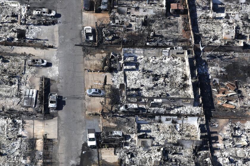
Gusts out of the northeast are expected to reach 55 mph, somewhat less than winds that buffeted the region Saturday and fanned the Corral fire, which burned 4,900 acres and destroyed 53 homes.
Jamie Meier, a National Weather Service meteorologist, said humidity levels would drop into the single digits, creating the dry conditions that help fuel brush fires.
“It’s not as warm but just as dry as October,” when the region experienced three dozen fires over a period of several days, Meier said. “With very little rain in between, conditions are just as volatile as they were then.”
In Los Angeles County, winds will blow the strongest in the Santa Monica Mountains and the Cajon Pass but will extend to the coast, Meier said, with the strongest winds predicted in the morning and early afternoon.
In some areas, temperatures are forecast to be up to 10 degrees above normal.
The forecast prompted the Los Angeles County Fire Department to deploy two extra strike teams made up of 21 firefighters to the Malibu area, inspector Sam Padilla said.
Firefighters surrounded the Corral blaze Tuesday. They want to ensure that no new hot spots are sparked in that burn area and that no new blazes break out.
Investigators on Tuesday continued to work around a cave in Corral Canyon where they believe the blaze began. The cave is known as a weekend party spot, and officials are urging anyone who saw the fire start to come forward.
The California Department of Forestry and Fire Protection also has beefed up its resources. Eight strike teams, or about 160 firefighters, will be available for deployment throughout Southern California.
The specter of weekend rain raises concerns about mudslides in some hillside communities where there have been recent fires, though officials doubt there will be enough rain to do significant damage.
Federal reports released last week said rural eastern Orange County, portions of Bouquet Canyon and Val Verde in Los Angeles County and vacation homes in the Angeles and San Bernardino national forests are at greatest risk for mudslides if there is heavy rain. More than $6 million in federal emergency funds has been approved in the last week to stabilize denuded forest lands, many of which sit above threatened communities.
Southern California is experiencing its driest year on record, and the forecast for the winter gives officials little encouragement. Officials expect a La Nina weather pattern, which usually bring less rain than average.
--
hector.becerra@latimes.com
More to Read
Start your day right
Sign up for Essential California for news, features and recommendations from the L.A. Times and beyond in your inbox six days a week.
You may occasionally receive promotional content from the Los Angeles Times.
