Footloose in Fryman Canyon
In the Studio City area, try this Fryman Canyon path that was once named the best running trail in the city.
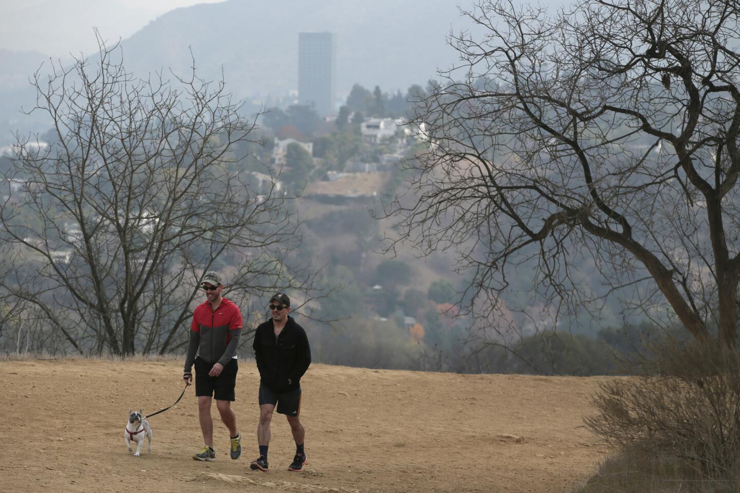
This Studio City walking area is popular with hikers, joggers, runners, dog owners and families. Go early to get a space in the parking lot and to heighten that get-away feeling.

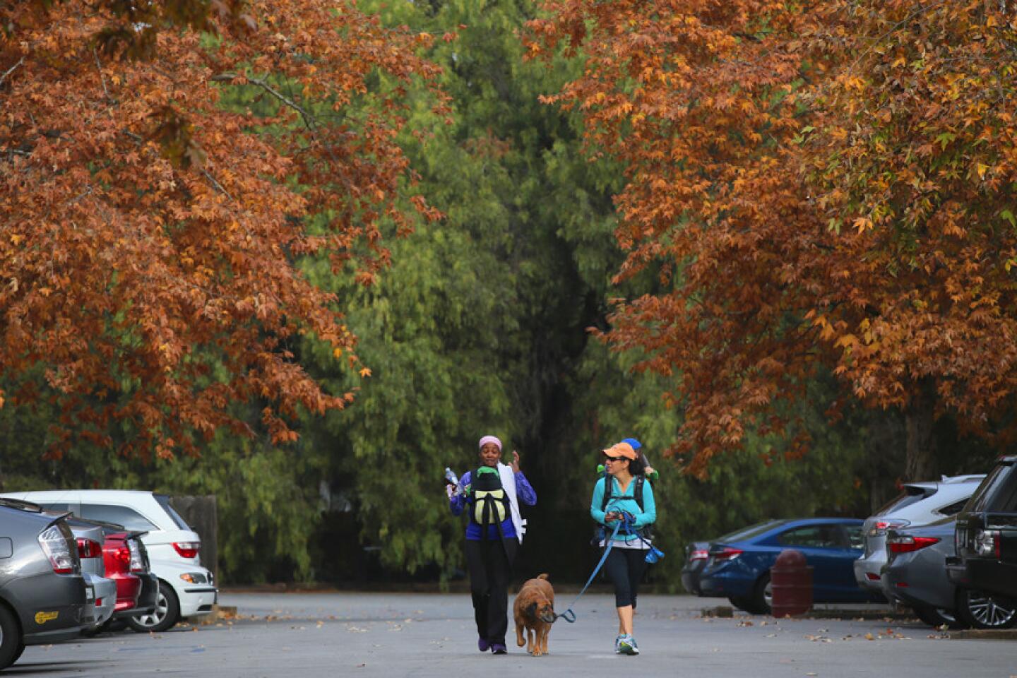
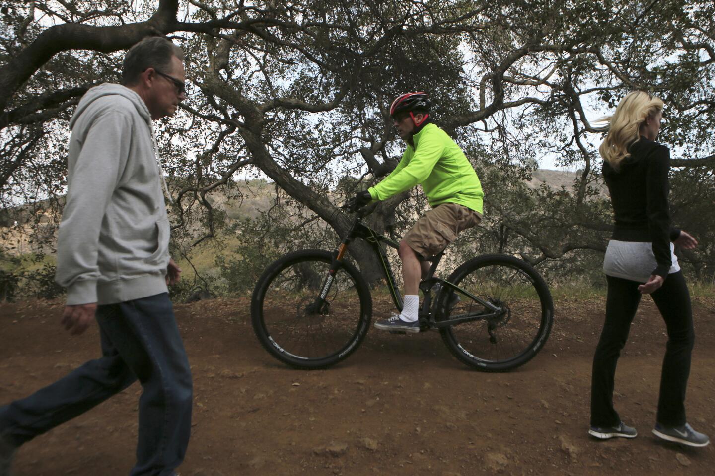
Hikers leave the parking lot at Fryman Road and Laurel Canyon Boulevard to start on the Betty B. Dearing Trail in Fryman Canyon. In the Studio City area, try this Fryman Canyon path that was once named the best running trail in the city. (Robert Gauthier / Los Angeles Times)
Begin at Wilacre Park, off Fryman Road, one block west of Laurel Canyon Boulevard. Start walking uphill on a paved road into a stretch of land that is part of the Santa Monica Mountains Conservancy, enjoying the shade of oaks and conifers as you gain altitude and leave the canyon.
More from L.A. Walks: Explore Los Angeles by foot
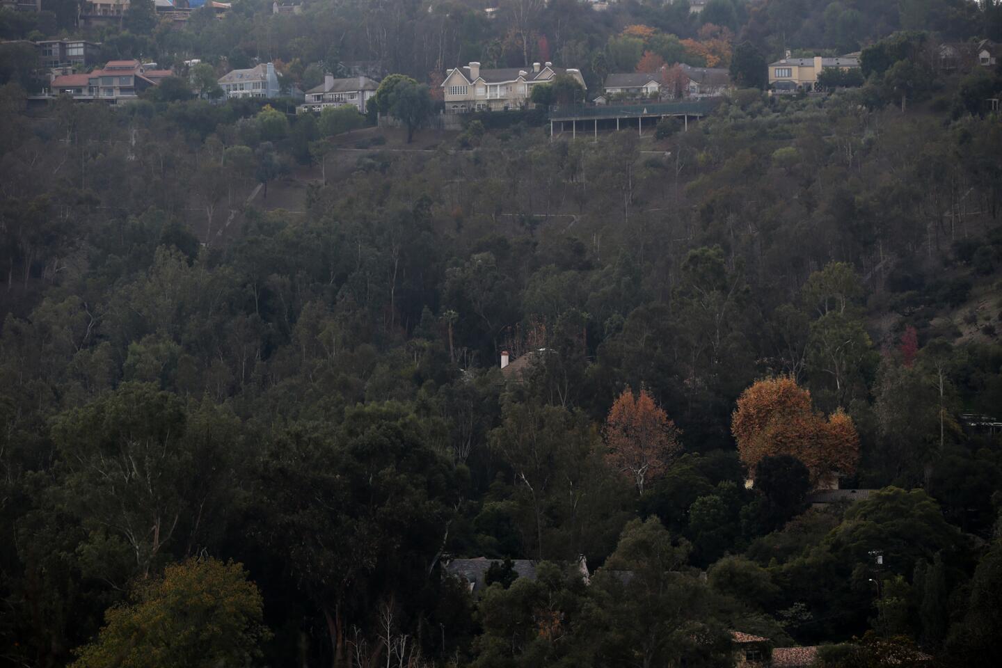
The asphalt will give way to dirt road. Stay on this main path as a series of switchbacks carry you up to panoramic views from Burbank to Sherman Oaks to Pacoima and beyond.

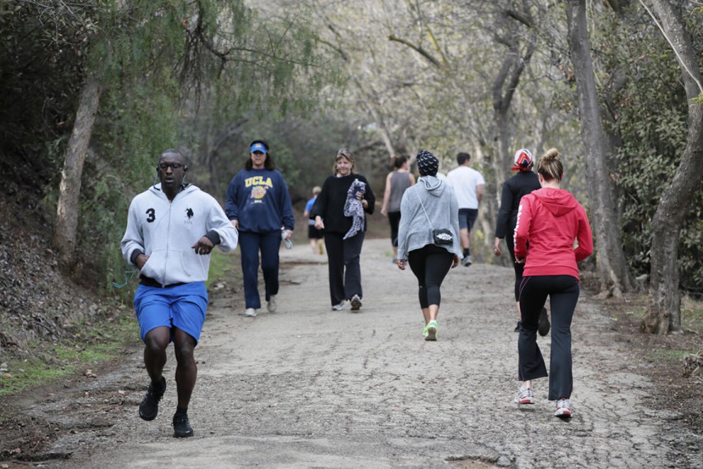
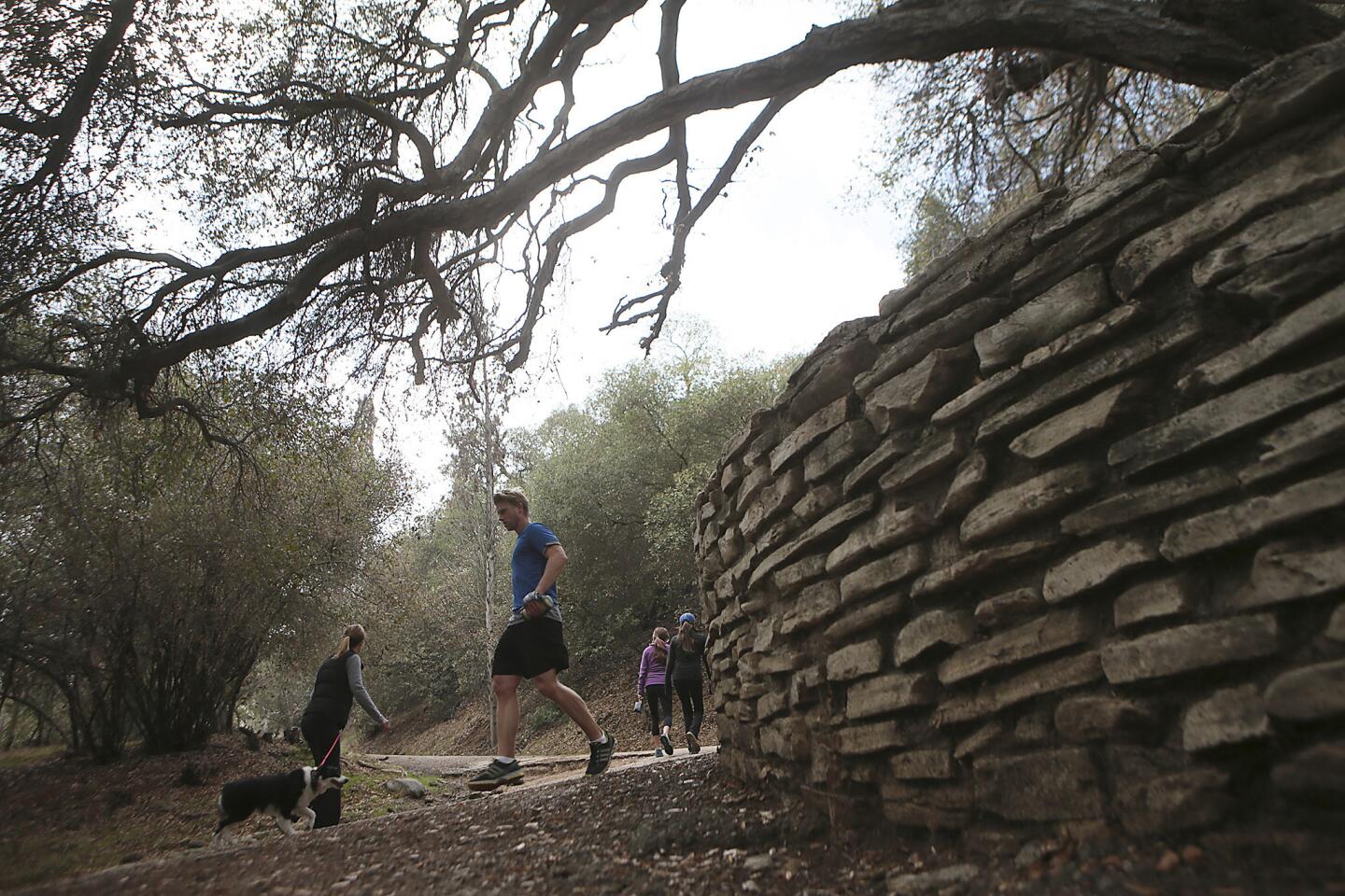
Hikers and joggers come and go at the trail head in Fryman Canyon. (Robert Gauthier / Los Angeles Times)
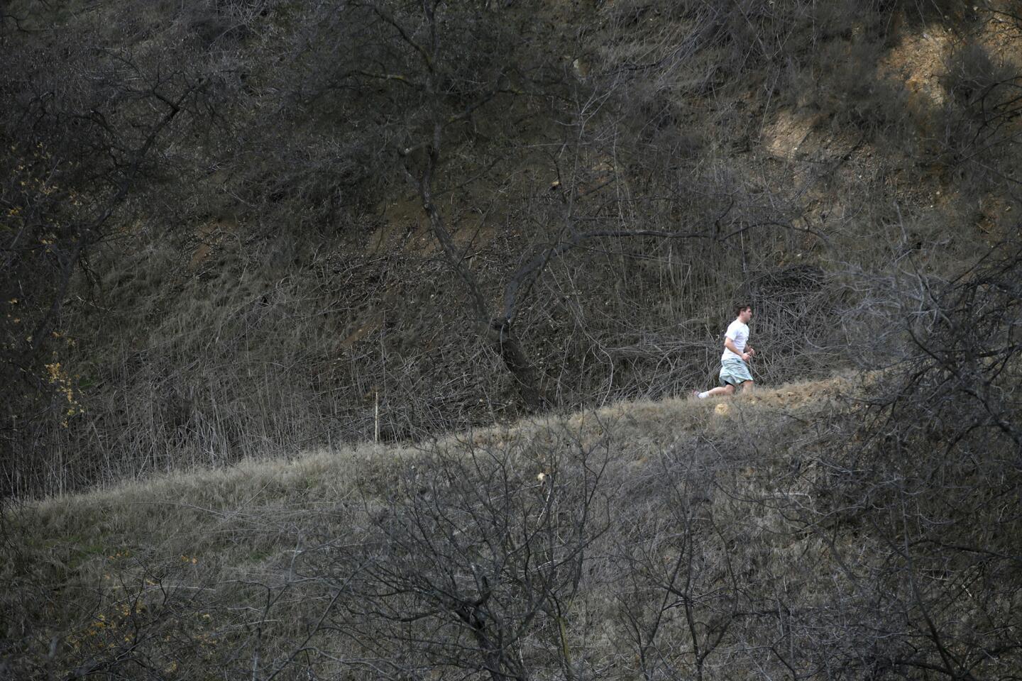
The trail eventually flattens and begins to run along a ridgeline. You can see why this was voted "best running trail" of 2012 by L.A. Weekly.

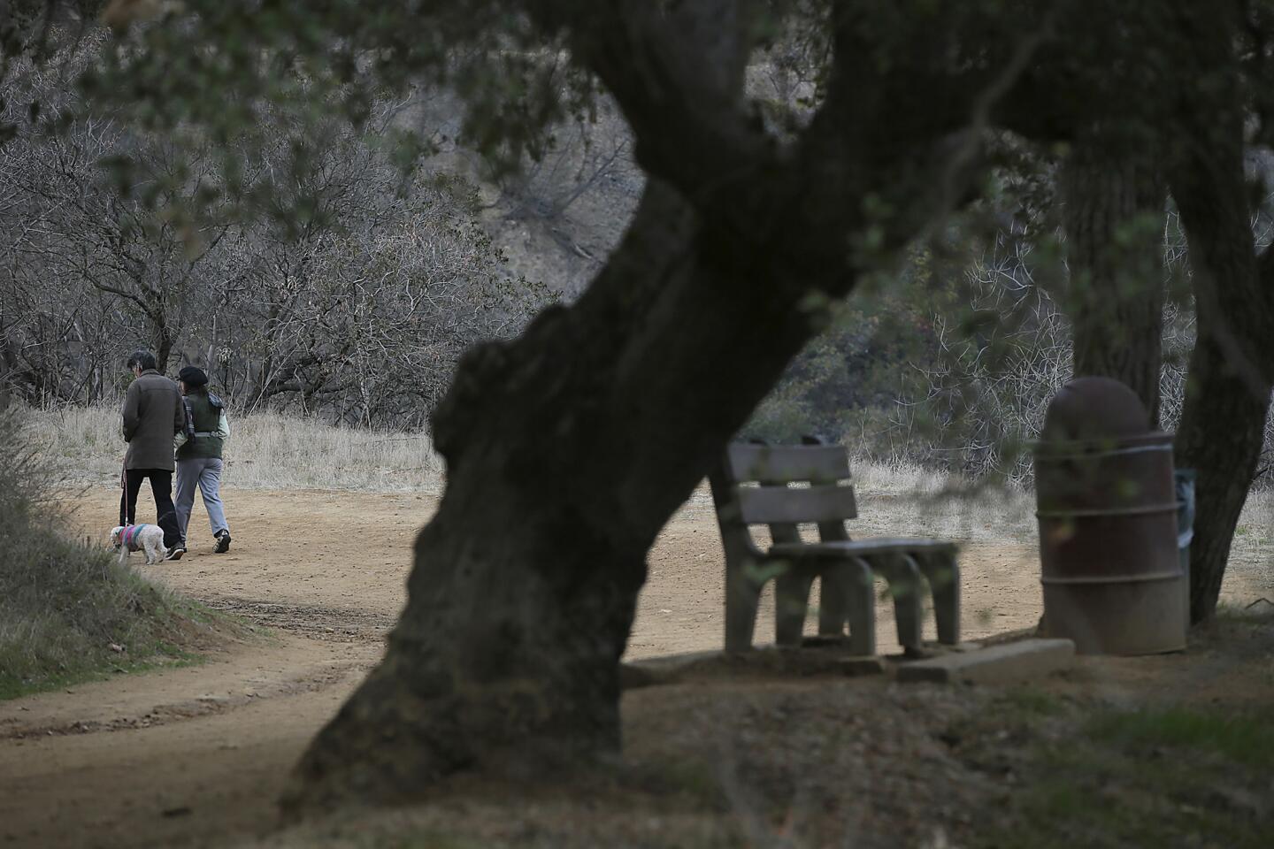
Hikers pass by a bench giving a view of the San Fernando Valley midway along the trail. (Robert Gauthier / Los Angeles Times)
At this intersection, there's a saddle with a couple of well-placed benches for enjoying the view into the leafy canyons below. You can also get closer to the trees themselves by turning right and visiting Tree People, the 30-year-old nonprofit organization dedicated to the re-greening of the environment. Admission is free, and it's open 6:30 a.m. to sunset daily.
MAP: Find the perfect L.A. Walk near you
The trail ends here at the cul-de-sac end of Iredell Lane, where hillside chaparral gives way to landscaped lawns under a canopy of eucalyptus. Leave the trail for the road and walk downhill.

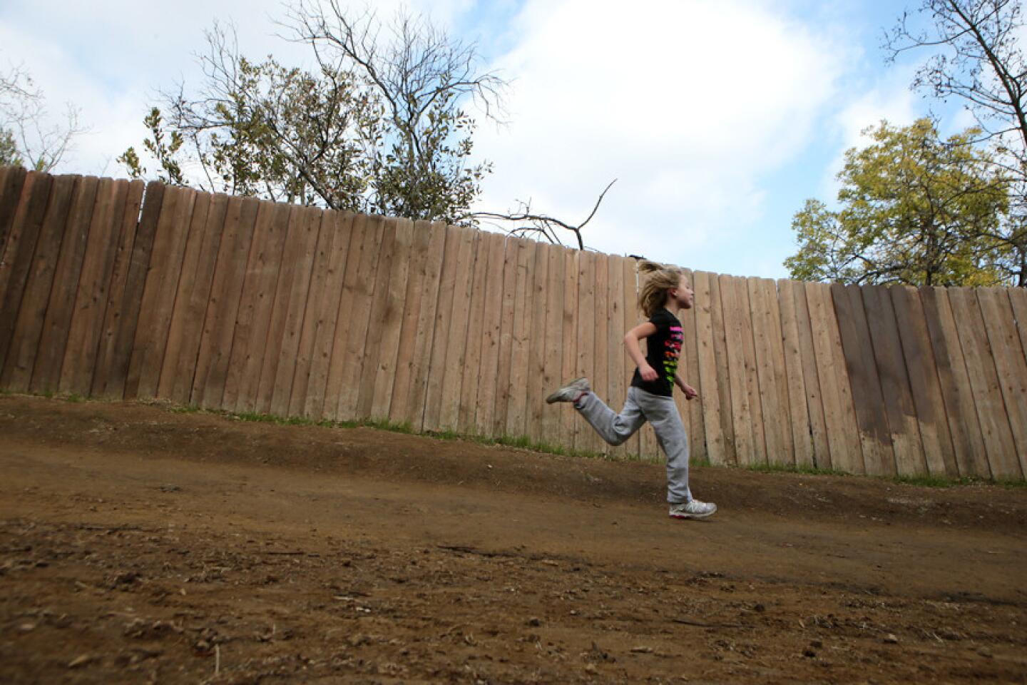
Campbell Keith, 6, races toward the end of the Betty B. Dearing Trail. (Robert Gauthier / Los Angeles Times)
Turn left onto Fryman Lane, and walk a quarter of a mile back to your starting point.
Fleming is the author of "Secret Stairs: A Walking Guide to the Historic Staircases of Los Angeles" and "Secret Stairs East Bay: A Walking Guide to the Historic Staircases of Berkeley and Oakland."
The stats
Distance: 3 miles
Duration: 11/4 hours
Difficulty: 3 on a scale of 1 to 5
Details: $3 paid parking and street parking with restrictions. Dogs on a leash are OK. On Metro bus route 218.
View larger map on latimes.com