Tackle this LA hike, and you’ll be rewarded with sweeping Valley views
This hillside hike high above Tarzana and Encino is a gateway to the Marvin Braude Mulholland Gateway Park. It features some steep sections, which will be slippery in wet weather, but pays off with huge views of the San Fernando Valley.
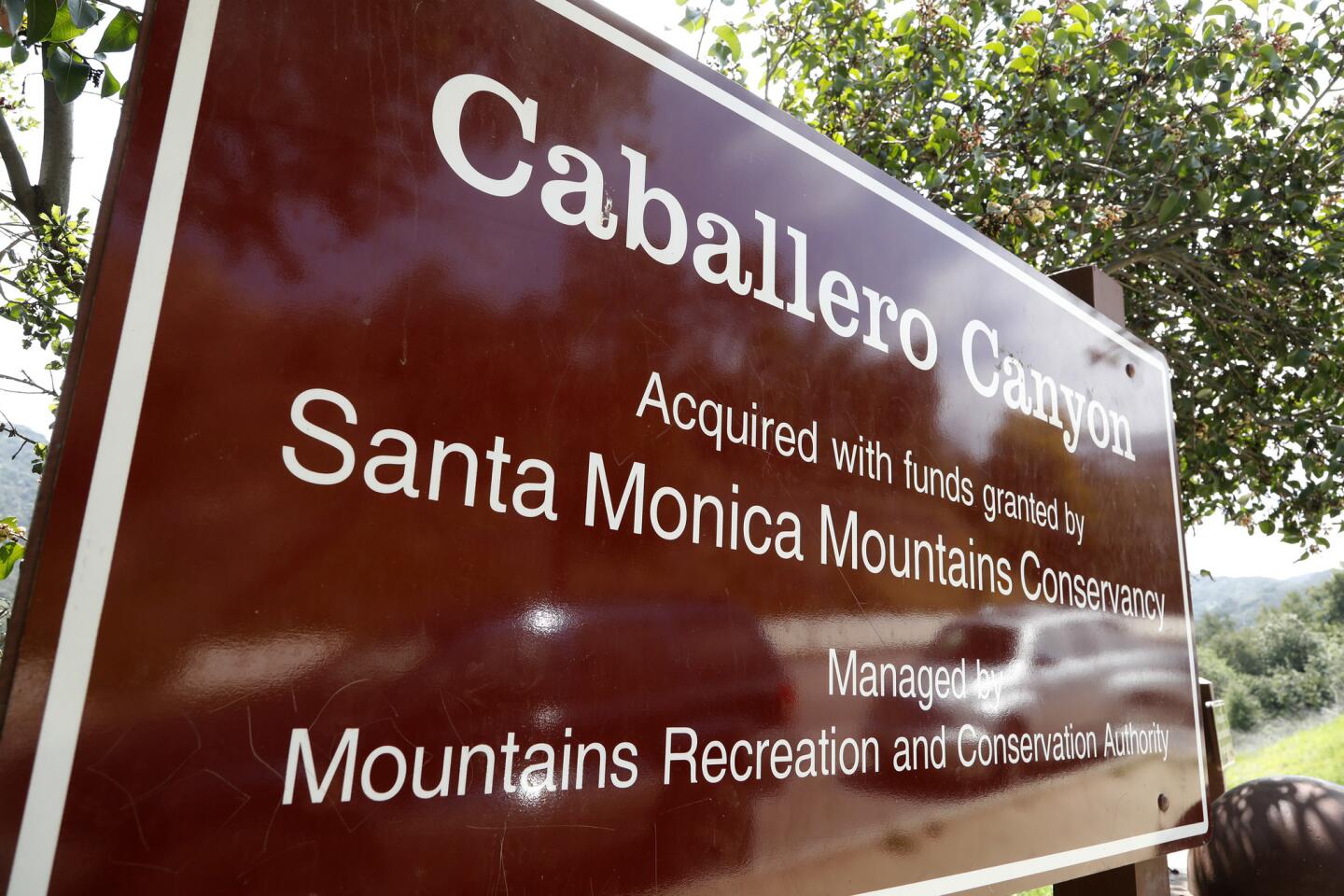
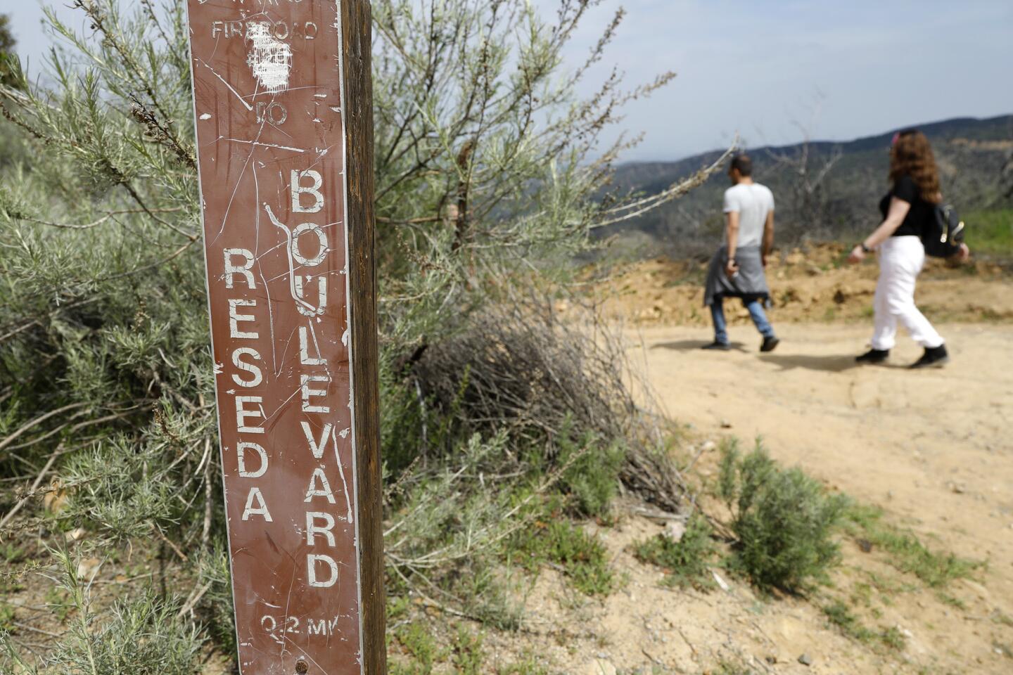
1. Start walking near the corner of Reseda Boulevard and Country Club Place, at about 4030 Reseda Blvd. On the east side of the street — left, if you’re facing uphill — find a brown sign for Caballero Canyon. Take the trail to the right of this sign, heading into a shallow canyon.
Find more great L.A. Walks >>>
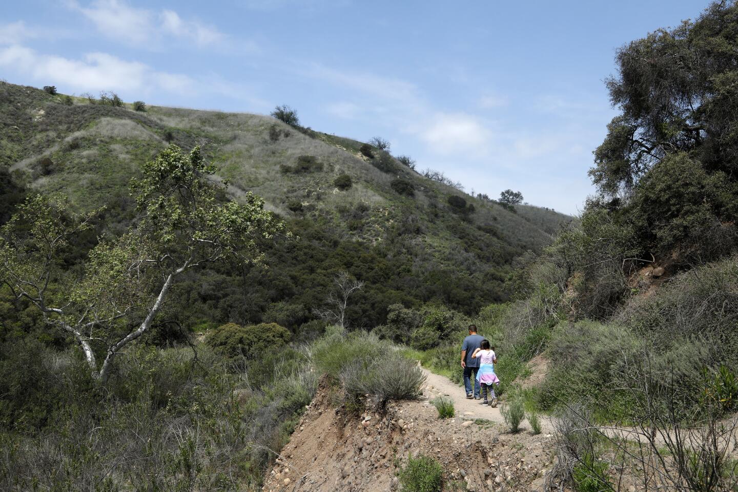
2. Follow a flat trail as it winds up the canyon, under the shade of some oak and sycamore trees. At about the 1-mile point, stay on this trail as it veers left and begins to climb.
3. Stay left at the fork in the road, and bear left again at the T intersection, as the trail continues to climb. Keep a steady pace until you pass a yellow gate and step onto a wide dirt road.

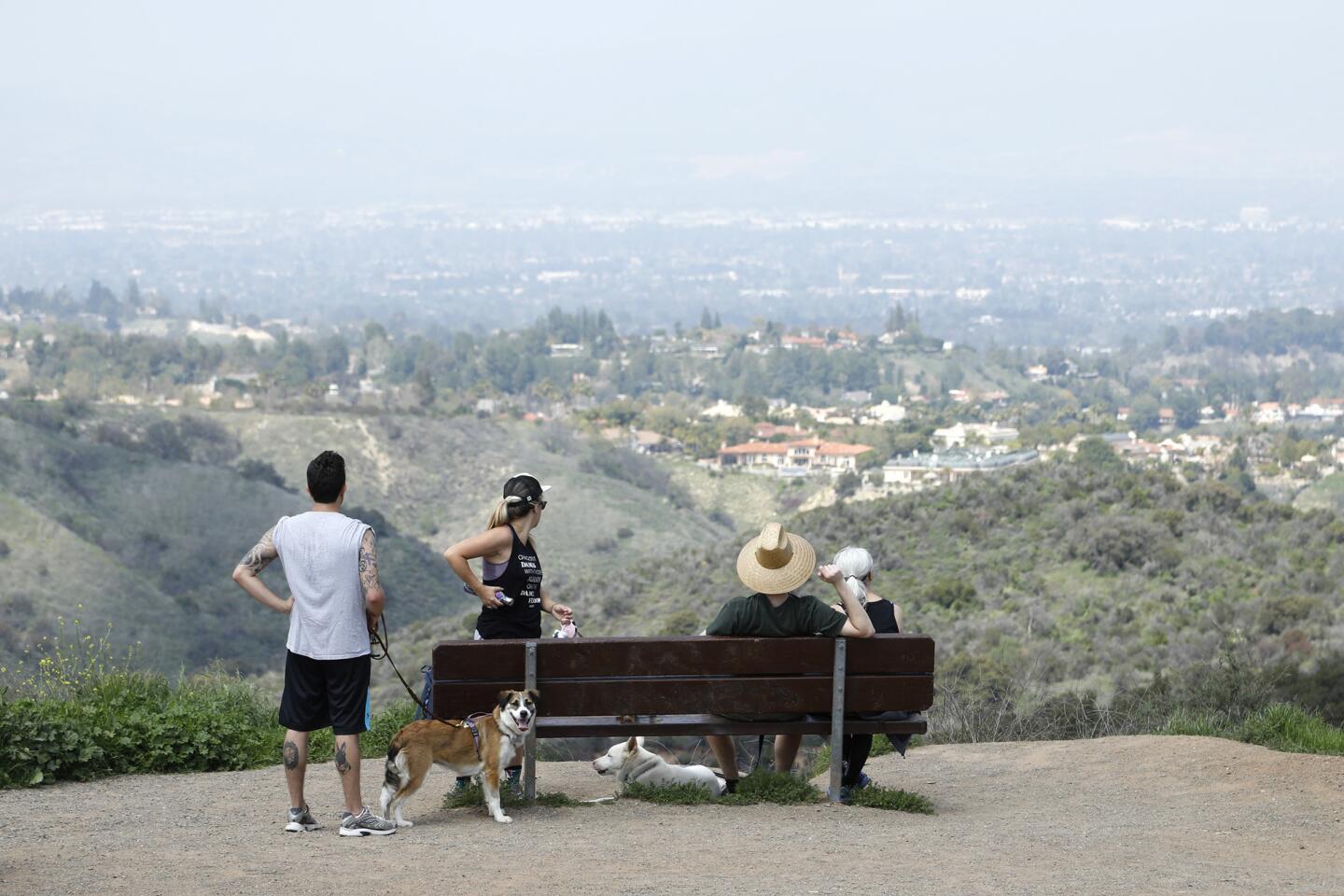
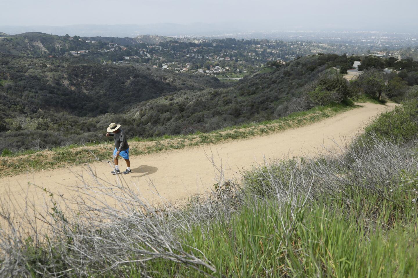
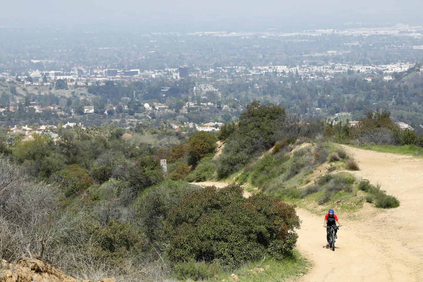
4. This is Mulholland Drive, an unpaved section (but closed to motor vehicle traffic) of the hilltop boulevard that runs from Lake Hollywood, near the Hollywood sign, to the Pacific Ocean, next to Leo Carrillo State Beach and the Ventura County line. Turn right onto Mulholland, and enjoy a stretch of flat walking and the fine views of the valley.
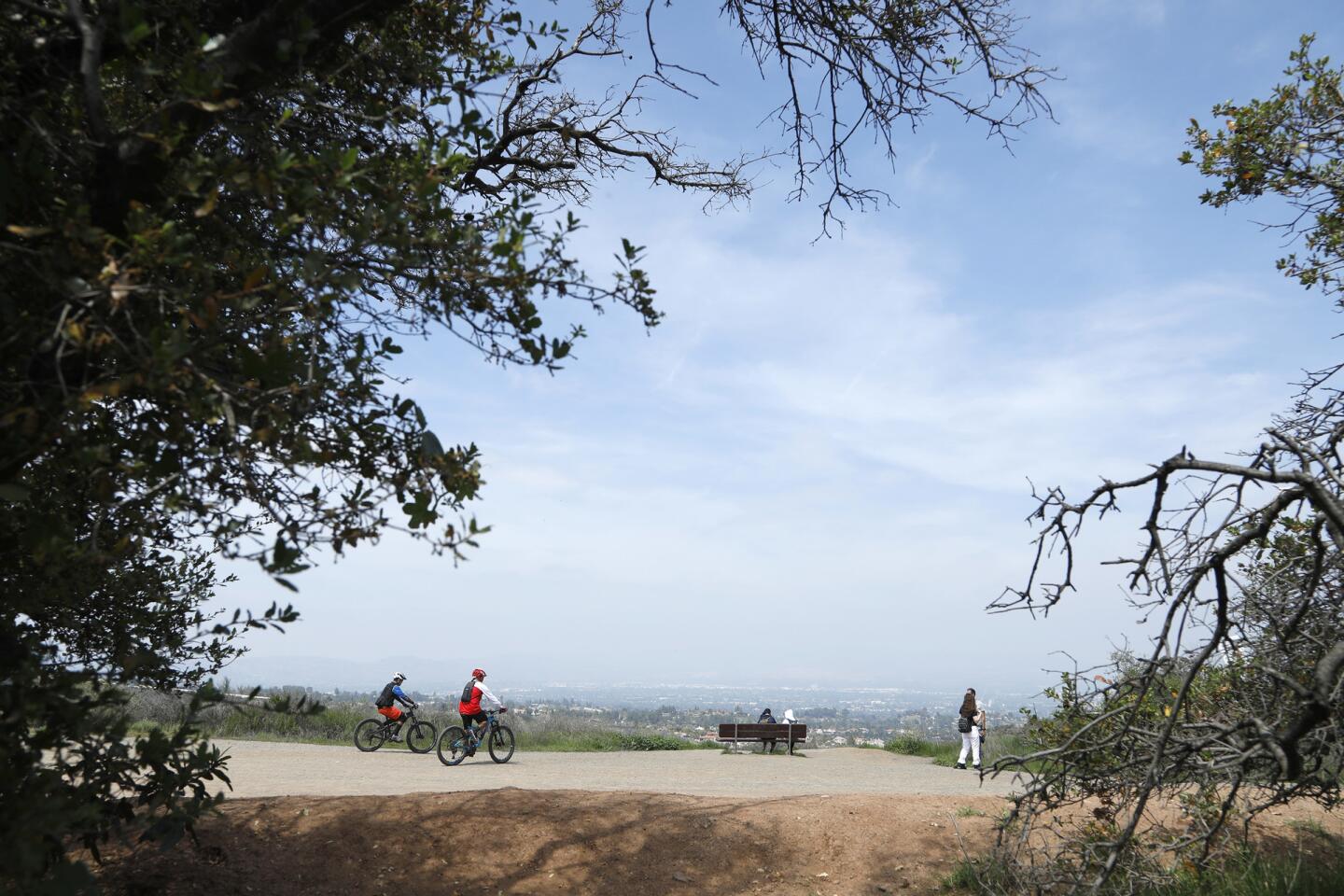
5. After about 15 minutes, after the road has begun to rise, turn right next to a white wooden signboard down a trail that leads to a parking lot — the pay parking lot for Marvin Braude Mulholland Gateway Park, named after the late Los Angeles city councilman who, through three decades in office, was instrumental in preserving recreational space in the Santa Monica Mountains. There are informational maps and public restrooms here.
6. Walk past the parking lot and continue downhill, along Reseda Boulevard, until you’ve returned to your starting point.
The stats
Distance: 4 miles
Difficulty: 3.5 on a scale of 1 to 5
Duration: 2 hours
Details: Dogs on leash welcome. OK for mountain bikes. Abundant free street parking. Nearest bus lines are 150, 154, 240, 750.
Fleming is the author of “Secret Stairs: A Walking Guide to the Historic Staircases of Los Angeles” and “Secret Walks: A Walking Guide to the Hidden Trails of Los Angeles.” Each month, he leads a free walk at one of his favorite spots in Southern California. Find out more at his Facebook page, Secret Stairs. He can also be reached on Twitter: @misterfleming
MORE L.A. WALKS
This short, steep hike takes you high above Burbank
Strolling around the lakes in El Dorado Park in Long Beach
This hike takes you to an (allegedly) haunted mansion: The Cobb Estate in Altadena