Menacing during fire -- and after
They are one of the fastest-growing mountain ranges in the world. They are young, barely adolescent by geologic reckoning. Uplifted by the head-on collision of tectonic plates, the San Gabriel Mountains rest at a menacing steepness that periodically unleashes rivers of rock and mud into the subdivisions that nestle in its alluvial fans.
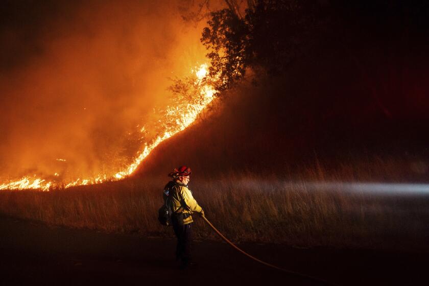
The range’s natural architecture is fire-friendly: Row after row of canyons and narrow clefts act as chimneys, funneling flames to the high ridges, where winds launch the fire into the Los Angeles Basin to the south or the Santa Clarita Valley to the north. The sparsely vegetated slopes that are daunting for hikers are equally challenging for firefighters who can scarcely stand upright on the mountain flanks.
These are not the iconic Sierra, or the charismatic Rockies. The San Gabriels are drab, unassuming and somewhat taken for granted. But they are powerful: capable of devastating slides, particularly when winter rains follow fires.
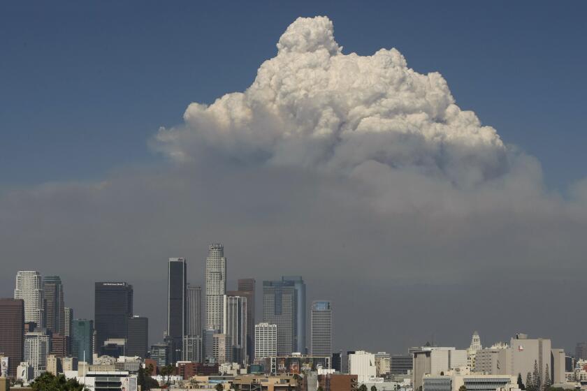
In the last week, more than 120,000 acres have burned up and down the San Gabriel range, seemingly indifferent to the efforts of thousands of firefighters and a squadron of airplanes and helicopters. Southern Californians are taking respectful notice of what one ecologist calls the backdrop of Los Angeles.
“The San Gabriels are some of the most treacherous mountains in California and, I would argue, the American West in which to fight fire,” said Char Miller, director of the environmental analysis program at Pomona College. “No one wants to fight fire in the Angeles National Forest and nobody really can, unless it’s at a remove. You have these incredibly steep canyons with dense growth. A tinderbox. You have enormous amounts of fuel in some of the most inaccessible and difficult terrain possible.
“Match that up with the fact that you’ve got 17 to 20 million people who live in and around those canyons and foothills and it’s a recipe for disaster. That’s what makes the Station fire so unnerving. The fire has moved across space so easily. If the winds would have been different, this would have been an unmitigated disaster.”
The San Gabriels are the result of the Pacific and North American plates slamming into each other at the spot where the San Andreas Fault takes an unusual turn. That collision is continuing: The western end of the San Gabriels was thrust up 6 1/2 feet during the 1971 Sylmar earthquake.
The mountains are nonetheless growing only slightly faster than they are disintegrating.
The rock types that make up the range easily shatter and crumble. Fires and constant erosion create what geologists call “dry ravel,” a rock grit that becomes feedstock for debris flows that have, every decade or so, dragged the hillsides down into foothill communities.
“This is a place that just doesn’t hold a slope,” said Richard Hazlett, a volcanologist at Pomona College. Those slopes can be 65%, and in some places, 90%.
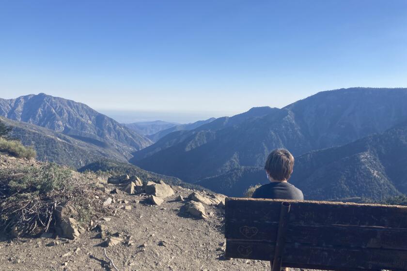
“When you look up at them from down here, they look smooth and finished, but when you get up there they are rough,” said Helen Oakley of Pasadena. Oakley, 78, has been tramping through the range with the group San Gabriel Mountains Trailbuilders and marvels at how the terrain sneaks up on everyone.
“People who haven’t been up there have no clue to what it’s like,” she said. “I wish everyone could get up there, it’s an eye-opener.”
There are comparable hillsides on New Zealand’s South Island and in the Himalayas, Hazlett said, but few have so little vegetation. As a consequence, “the potential for debris flow is huge,” he said.
The low-growing shrubs and trees that do populate the San Gabriels, called chaparral, are adapted to fire. The nut-brown manzanitas are full of oils, extremely dense and remain unburned for decades.
When fire does come, it burns with a unique ferocity and scours entire landscapes. Lacking vegetation to hold in the soil, entire mountains can become unstable. That’s the San Gabriels’ next menace, come winter rains.
“One issue after fires is that fire removes debris logjams, and the dry ravel really loads up in the channels,” said Sue Cannon, a geologist with the U.S. Geological Survey who studies mountain debris. “That is material that can move in a heartbeat with a small amount of rain.”
The San Gabriels have given way at regular intervals, often overpowering the hundreds of debris basins scooped out of the foothills by optimistic engineers.
Flows off the San Gabriels can be akin to “a river of wet concrete,” Cannon said. It’s why geologists call the San Gabriels “juicy.”
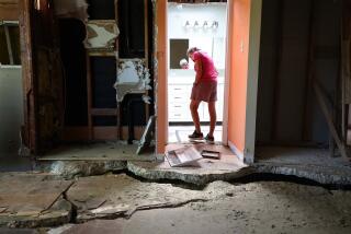
The mountains disgorged their rivers of rock twice in the 1930s, in the winter of 1969 and again in 1978. The force drove homes from their foundations, tumbled automobiles like marbles and disinterred dozens of coffins.
“They are innocuous-looking,” Miller said. “The mountains are not just deceptive, they are dangerous. Yet Los Angeles and the Inland Empire surrounds itself around the washes. Start to think about the floods that brought that stuff down. You recognize not only their power, but the capacity of the mountains to compel us to spend a ton of money to live in a place that is either Edenic or a hell.”
--
Times researcher Vicki Gallay contributed to this report.
More to Read
Sign up for Essential California
The most important California stories and recommendations in your inbox every morning.
You may occasionally receive promotional content from the Los Angeles Times.

