Major Threat Seen in L.A. Quake Fault
An extensive fault system discovered four years ago running deep beneath the heart of Los Angeles is capable of generating earthquakes up to magnitude 7.5 -- massive shakers larger than any in the modern history of the Los Angeles Basin.
The Puente Hills fault, which winds through the area’s fractured underbelly for about 25 miles, from northern Orange County to Beverly Hills, has generated at least four earthquakes ranging from magnitude 7.2 to 7.5 in the last 11,000 years, according to a new study examining the fault’s behavior published today in the journal Science.
Scientists said such large quakes so close to the densely populated city center would be a far greater threat than any posed by the dreaded San Andreas fault, which is dozens of miles from downtown.
“The problem with this fault is the quakes are 7.5 and right beneath downtown,” said Tom Jordan, director of the Southern California Earthquake Center, which also supported the new study. “It’s kind of a worst-case scenario for L.A.”
Sue Hough, a seismologist in the Pasadena office of the U.S. Geological Survey, added: “This is the fault that could eat L.A.”
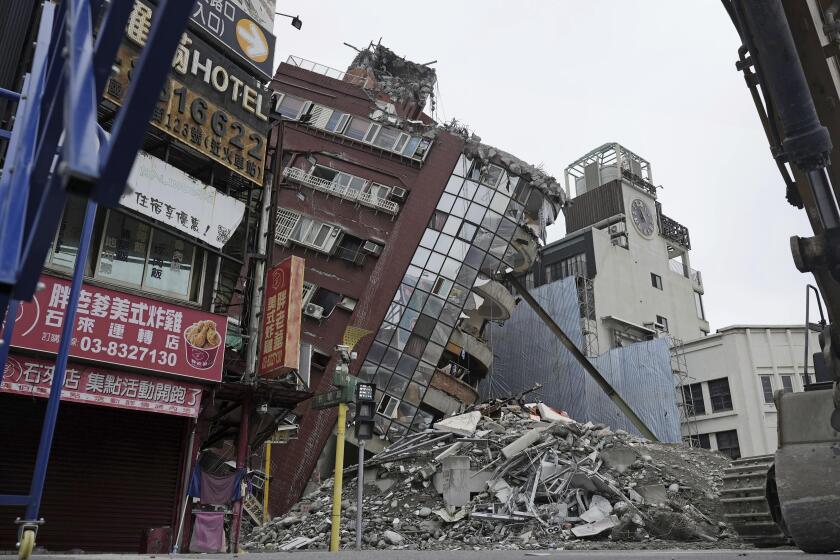
The finding raises questions about the safety of many older concrete buildings and even modern skyscrapers that were built under assumptions that they would not have to endure such powerful earthquakes, occurring so close.
“In the ‘70s, the largest earthquake expected under downtown was a magnitude 5,” said Lucy Jones, the chief scientist in Southern California for the USGS, which funded the current study. “This means our older buildings are not as safe as they could be.”
The Los Angeles Basin is being squeezed in a vise-like grip between colliding tectonic plates. The strain will eventually be released through earthquakes; a major question has been whether the area faces a series of frequent, moderate quakes or much larger quakes occurring rarely.
A 7.5 temblor would unleash 15 times as much energy as the 1994 Northridge event. That quake was a moderate magnitude 6.7 on the edge of the city, but it killed 57 people and generated about $40 billion in damage. The Northridge quake was the largest in the metropolitan region in recorded history. A major earthquake on the Puente Hills fault could far exceed that damage. But because such a large event appears to happen rarely, the fault could stay quiescent for thousands of years.
“The bad news is, they’re relatively large earthquakes,” said James Dolan, a USC geologist who conducted the study with graduate student Shari Christofferson and Harvard University geologist John Shaw. “The good news is they don’t happen that frequently.”
The Puente Hills fault is known to be active because it generated the magnitude 5.9 Whittier Narrows quake, which killed eight people in 1987. That quake, like the Northridge temblor, caught seismologists by surprise and started an intense investigation of the myriad faults crisscrossing the basin that had once seemed insignificant compared with the San Andreas.
The Puente Hills fault is deemed especially dangerous because it snakes through layers of soft river sediments that fill the Los Angeles Basin and tend to amplify the strength and duration of the ground’s shaking during earthquakes. In addition, Dolan said, the Puente Hills fault is oriented to focus seismic energy toward downtown, rather than away, as in Northridge.
“In terms of location and geometry, you’d be hard-pressed to think of a place that could be worse for a fault,” Dolan said.
The 15-mile wide Puente Hills fault dips underground at an angle. It is about two miles beneath the USC campus and about four miles beneath the downtown high-rise district. For most of its length, it lies beneath largely flat terrain that betrays no hint of its existence.
Its location and full extent were unknown until 1999, when Shaw and Peter Shearer of the Scripps Institution of Oceanography were given access to previously secret oil company exploration data that revealed geologic structures beneath the surface. Shaw and Dolan created a more detailed image using jackhammers and earth tampers to send sound waves into the Earth to map the fault.
The fault is known as a blind-thrust fault, which means that when it ruptures, land on one side will be thrust upward. In previous quakes, it has shoved land three to eight feet upward, Dolan said. The hills created by this uplift thousands of years ago were subsequently covered by river sediments from the Los Angeles and San Gabriel rivers, which flow over the fault.
Paleoseismologists, those who study the behavior of earthquakes, usually work by digging large trenches at the surface to see how quakes have disturbed layers of sediment. Such work has provided a relatively precise history of the San Andreas and other major faults that reach the surface. Getting at the history of buried faults is far more difficult, especially in extensively developed urban areas.
Dolan and his crew drilled a series of holes as much as 150 feet deep in a residential part of Bellflower near the 605 Freeway. They were not looking for the fault, but for traces it had left near the surface, particularly folded layers that would show how much shoving of earth had occurred in earthquakes.
Sampling the layers of differently colored and textured silts, sands, muds and clays, the team was able to detect signs of four large earthquakes that had occurred about every 3,000 years.
Dolan’s work could not precisely date the last major earthquake, leaving them uncertain when the fault might rupture again. “It could have been 3,000 years ago, or 300,” Dolan said.
Jones said there was no reason to panic, because the likelihood of a major earthquake on the fault any time soon remains small.
“You’re probably not going to live to see this,” she said. But she added that the findings are a good incentive to retrofit buildings, in keeping with scientific findings of recent years.
A 1995 study by seismic engineers Tom Heaton and John Hall of Caltech showed that a magnitude 7 quake downtown could cause ground shaking intense enough to topple some 20-story steel-frame buildings. Older concrete-frame buildings constructed before the use of modern reinforcing techniques required since 1975 could “pancake,” or collapse, Heaton said. He called the fault “L.A.’s worst nightmare.”
Some engineers believe new downtown buildings would need to be engineered entirely differently to withstand the forces of a magnitude 7.5 quake. Others believe that many newer tall buildings are quite strong, in part because they are designed to withstand Southern California’s stiff winds.
One of the city’s lead emergency planners, Bob Canfield, said the new finding wouldn’t have any immediate effect on earthquake planning at the city’s Office of Emergency Preparedness. “Are we going to move the buildings and the people out of downtown? The answer is no,” he said.
Instead, Canfield said, the report offers a reminder that people should take simple steps to prepare: Create a family plan, prepare to live for several days without water or power and strap down televisions, bookcases and other heavy items.
“If you live in Southern California,” said Canfield, who in 60 years has seen two houses damaged by quakes, “there’s no way to run from these things.”
More to Read
Start your day right
Sign up for Essential California for news, features and recommendations from the L.A. Times and beyond in your inbox six days a week.
You may occasionally receive promotional content from the Los Angeles Times.
