Rain and snow creeping over parts of California. How much will L.A. see?
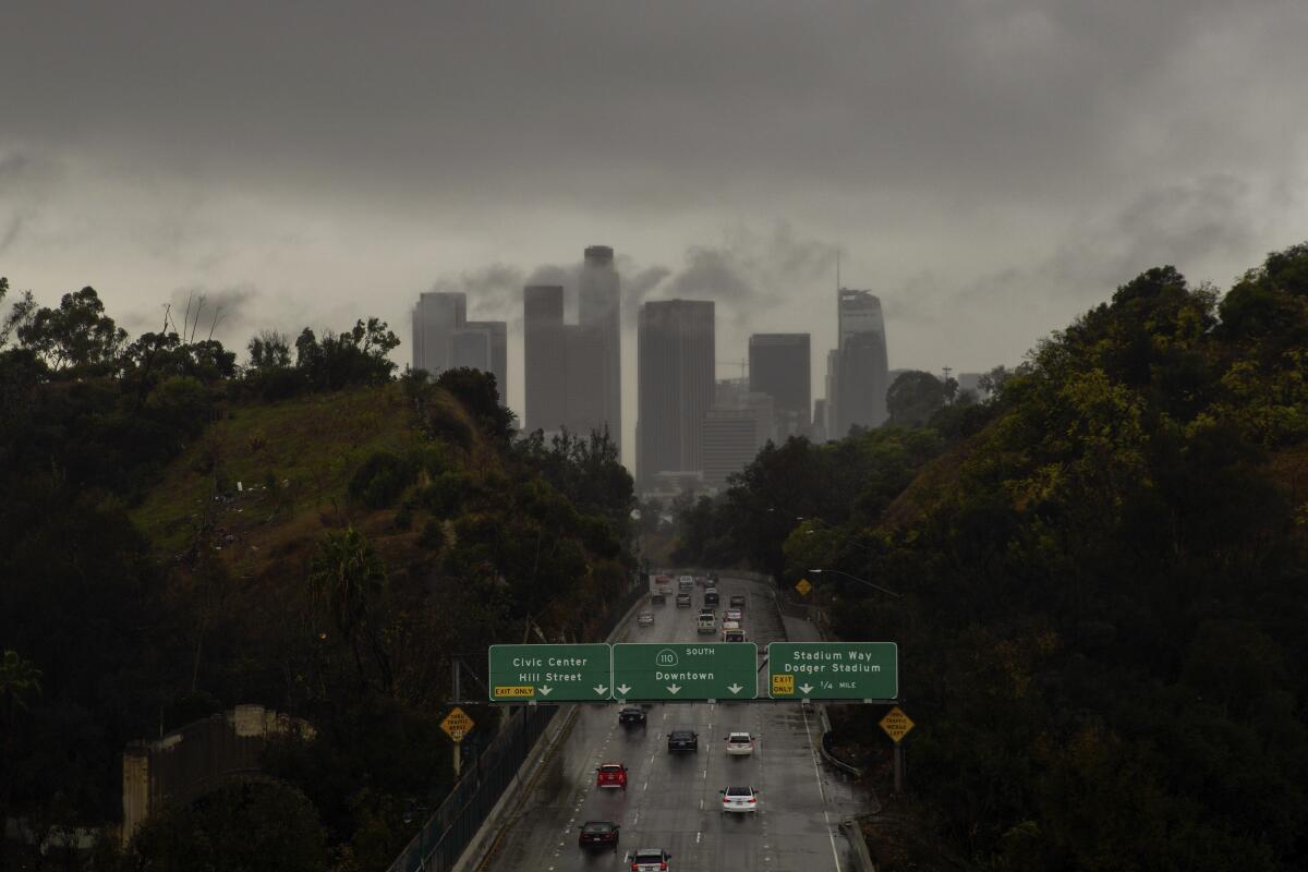
The ominous gray clouds hovering Thursday above Los Angeles aren’t likely to produce much more than the occasional sprinkle — if that — before clear skies return in time for the weekend.
The dash of moisture, which forecasters say will be focused mostly north of L.A. in San Luis Obispo and Santa Barbara counties and across the slopes of the mountains near the Kern County line, is the result of a low-pressure system known as an “inside slider” that’s moving from the Pacific Northwest over the inland portion of California.
The system is not expected to bring measurable rain to the Los Angeles Basin and should bring less than a quarter of an inch of precipitation elsewhere, said Kristen Stewart, a meteorologist with the National Weather Service in Oxnard.
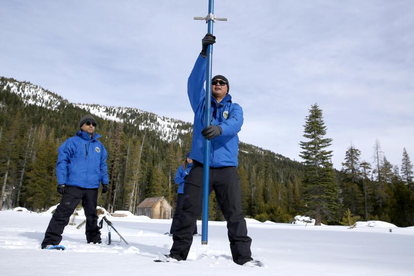
California is off to a good start in snow depth, according to the state’s first winter survey. But forecasters warn the rest of season could be relatively dry.
“This one doesn’t have a lot of moisture with it,” she said. “These inside sliders mainly bring us wind and less rain.”
Stewart said the system will be chilly enough to drop snow levels to about 4,000 feet, which means the Grapevine portion of the 5 Freeway could see a dusting of fresh powder. But forecasters say snowfall amounts will be light enough that significant travel issues are not expected.
Temperatures in Southern California, which have reached more than 70 degrees in the last several days, are expected to drop slightly into the mid-60s for the rest of the week.
Another storm is on the horizon early next week, though forecasters say it’s still too early to tell how strong it will be.
More to Read
Sign up for Essential California
The most important California stories and recommendations in your inbox every morning.
You may occasionally receive promotional content from the Los Angeles Times.
