L.A. Now Live: Mapping state earthquake faults slows to a crawl
Join us at 9 a.m. when we talk with Times reporter Rosannna Xia about how budget cuts have left hundreds of dangerous fissures in California undocumented.
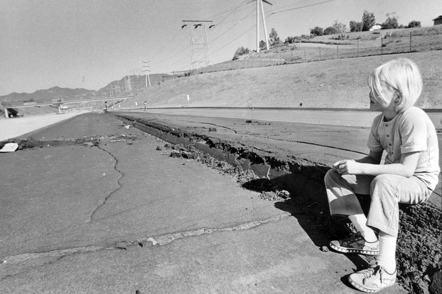
For about two decades after the 1971 Sylmar earthquake, officials published 534 maps of active earthquake faults. New construction was prohibited on top of these fissures because previous quakes showed that buildings could be torn apart during violent shaking.
But the mapping campaign has slowed to a crawl — with many dangerous faults undocumented.
Since 1991, only 23 have been drawn. Because of budget cuts, none were completed between 2004 and 2011, according to records reviewed by The Times.
State officials said there are still about 300 maps to draw and even more to revise — including some in heavily populated areas of Southern California. That represents about 2,000 miles of faults statewide.
The slow pace affects public safety. The ban on building atop faults is enforced for only those formally mapped by the state; the regulations don’t cover faults not on California’s official map.
It has become an issue in recent months because of several new developments planned along the Hollywood fault, which runs through the heart of the famed entertainment district.
A high-rise development has been approved by the Los Angeles City Council along the fault area, and another large mixed-use project nearby is already under construction.


Start your day right
Sign up for Essential California for news, features and recommendations from the L.A. Times and beyond in your inbox six days a week.
You may occasionally receive promotional content from the Los Angeles Times.


