Railroad fire has scorched more than 10,000 acres and threatens giant sequoias in Sierra National Forest
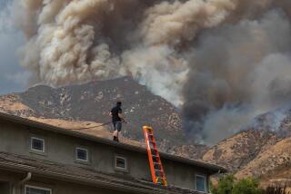
A raging blaze that has destroyed 14 structures, forced hundreds of mountain residents to evacuate their communities and triggered smoke advisories, is threatening several giant sequoia groves within the Sierra National Forest, fire officials said Tuesday.
The Railroad fire, which has burned 10,734 acres and is 23% contained, is burning in Nelder Grove in Madera County, home to more than 100 mature giant sequoias, fire officials said.
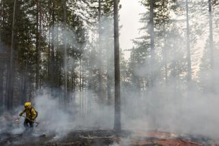
“The fire is low intensity and burning slow,” said Cheryl Chipman, a Railroad fire spokeswoman, adding that the blaze is burning vegetation under the giant sequoias but has not damage any trees.
“The wildcard is going to be the weather,” she said.
Officials fear wet or dry thunderstorms with lighting and strong winds may hit the region and could cause the fire to flare up.
The fire is also burning in areas consisting of many dry pine and cedar trees that not only help fuel and spread the fire but also increase risk for firefighters. Efforts to cut some of those trees have been ongoing since the fire broke out.
So far the fire has burned 14 structures and forced the evacuations of several mountain communities, affecting about 600 residents, Chipman said.
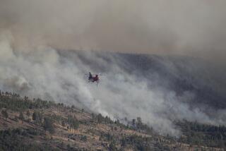
More than 800 personnel are fighting the fire, including 14 hand crews, six helicopters, 89 engines and 14 dozers. Air tankers have been ordered to help support firefighting efforts too.
The fire broke out Aug. 29 near Yosemite Mountain Sugar Pine Railroad, just north of Oakhurst.
The fire forced mandatory evacuations for several campgrounds, lodges and mountain communities and settlements such as Sugar Pine and Fish Camp.
The fire also led to the closure of Highway 41 from south of Wawona to Sky Ranch Road. Yosemite visitors have been told to use Highway 49 to Highway 140 or Highway 120 to access the national park.
National Forest officials believe the fire will spread east toward Little Sandy down-slope from Speckerman Mountain Peak; southwest toward Sugar Pine and Cedar Valley; and south to Calvin Crest, Corlieu Falls and California Meadow.
But fire officials are cautiously optimistic that cooler temperatures and high humidity will help firefighters slow the fire and increase its containment.
The cause of the fire remains under investigation.
For more Southern California news, follow @latvives on Twitter.
ALSO
La Tuna fire, city’s biggest by acreage, now 70% contained, officials say
Palmer fire in Riverside County grows to 3,800 acres
‘Everything else can be replaced’: In path of wildfire, residents have frantic moments to evacuate
More to Read
Sign up for Essential California
The most important California stories and recommendations in your inbox every morning.
You may occasionally receive promotional content from the Los Angeles Times.


