Rain from back-to-back storms to bring damp start to spring in Los Angeles
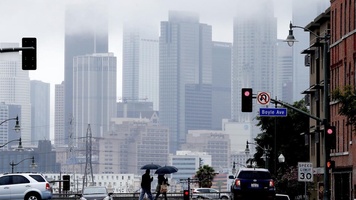
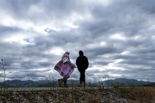
Sunny skies that warmed up the Southland over the weekend and helped thaw out Angelenos from their long winter chill have disappeared, as the region braces for a round of spring showers.
Temperatures that peaked just slightly above normal will abruptly drop this week into the low 60s — 5 to 10 degrees below normal — as the first of two back-to-back storms arrive, said Tom Fisher, a meteorologist with the National Weather Service in Oxnard.
The warm weather provided a welcome respite for Southern Californians amid what has been a cold and wet winter for the entire state. Record-breaking rainfall doused some areas this year and kept temperatures in downtown Los Angeles under 70 degrees for the entire month of February.
“We were just above normal for a couple of days, but we were below normal for so long that it felt like a heat wave,” Fisher said of the temperatures on Saturday and Sunday.
The rain has also helped pull California out of drought conditions and spurred a spectacular super bloom of wildflowers that has attracted overwhelming crowds.
The first storm, which is set to arrive Tuesday night, is expected to drop between a tenth to a quarter of an inch of rain across much of Los Angeles County.
The majority of the rain will hit the area Wednesday — first day of spring — although showers will linger into Thursday morning. Cooler temperatures accompanying the storm are expected to drop snow levels as low as 5,000 feet through much of the week.
Light scattered showers are expected to return late Friday into Saturday, but are expected to clear by Sunday, Fisher said.
Twitter: @Hannahnfry
More to Read
Sign up for Essential California
The most important California stories and recommendations in your inbox every morning.
You may occasionally receive promotional content from the Los Angeles Times.
