Great Plains hit with tornadoes, snow as severe weather slams U.S.
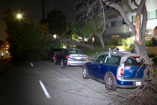
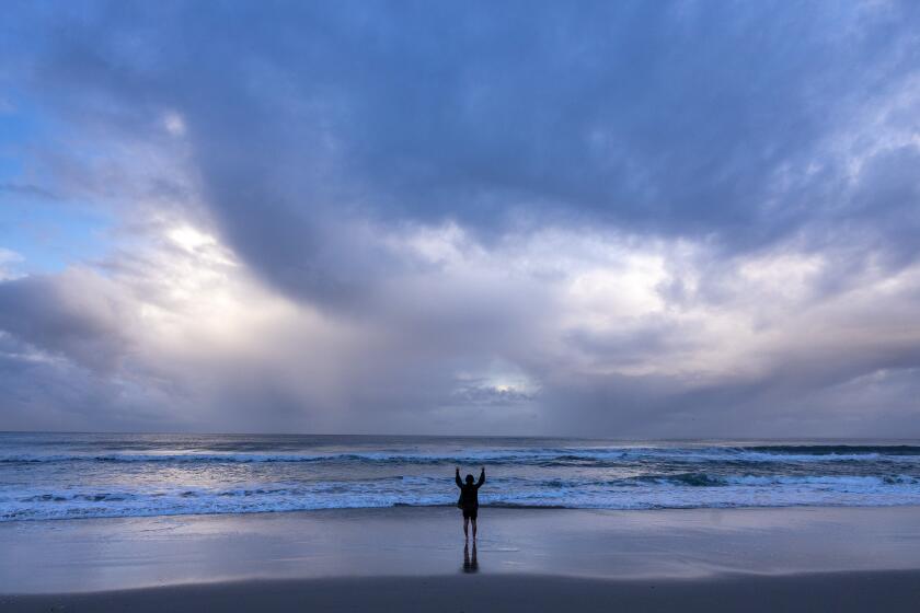
From the red flag warnings along California’s coast to the blizzard that dumped almost 4 feet of snow on the Great Plains, from the slew of tornadoes that damaged Midwest towns to Tropical Storm Karen crawling toward the Gulf Coast, severe weather has racked the country this weekend.
What’s causing dramatic and volatile weather is a combination of forces, officials said. California’s Santa Ana winds were driven by a high pressure system over the Great Basin. A low pressure system in the northern plains was moving eastward, kicking up moisture and dumping several inches of wet, heavy snow in western South Dakota.
“It’s a coming together of ingredients,” said National Weather Service meteorologist Kurt Kotenberg. “Everything just collided.”
One byproduct of the collision: tornadoes.
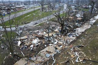
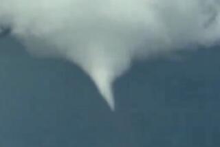
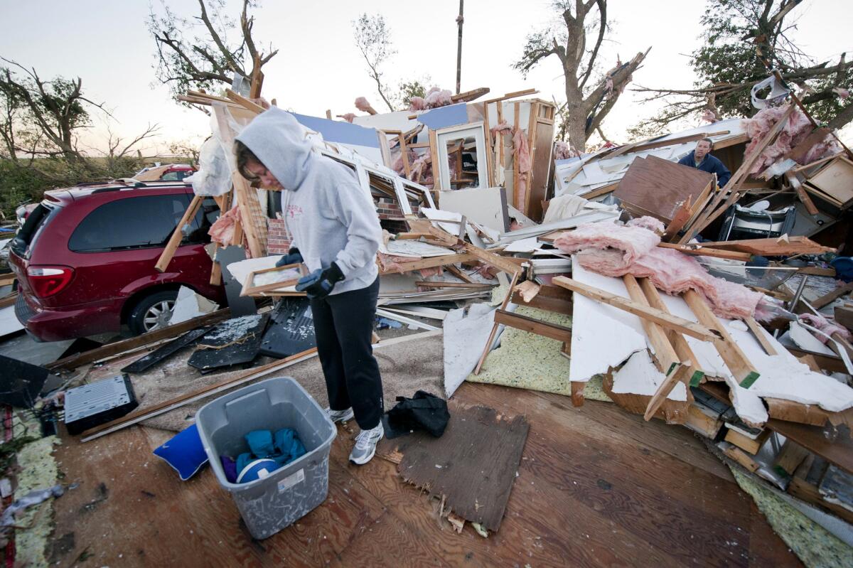
Severe storms spawned at least six tornadoes in northeastern Nebraska, northwestern Iowa and a county in southwestern South Dakota on Friday.
Comprehensive lists of the damage were not yet available, but it appeared that the town of Wayne, Neb., was among the hardest hit, with 15 people injured and several dozen homes and businesses damaged.
National Weather Service officials are tentatively classifying the tornado that hit Wayne as a category EF-3 on the Enhanced Fujita scale, with winds of 136 to 165 mph.
Wayne Mayor Ken Chamberlin estimated the damage in the millions of dollars, according to the state’s Emergency Management Agency. Nebraska Gov. Dave Heineman is scheduled to survey the damage Sunday.
Nebraska officials reported additional tornado damage to farms in the eastern part of the state.
In Iowa, storms destroyed 20 homes and damaged 60 others, said a spokeswoman for the state’s Homeland Security and Emergency Management Department.
Significant damage to crops and farming facilities was reported in Woodbury and Clay counties, and in the town of Alta, storms caused significant damage to the local high school.
South Dakota saw minor damage, including downed trees and damage to one house, the state’s Office of Emergency Management said.
The particular storm system that spawned the tornadoes has dissipated, making it unlikely that a flurry of tornadoes will take shape again. But the low pressure front will continue to march eastward, bringing thunderstorms and possibly hail.
Gregory Carbin, a meteorologist with the National Weather Service, said the front has already brought heavy thunderstorms to Chicago on Saturday and would continue on to cities such as Indianapolis.
“By Monday, the front will be on the East Coast and moving across the Northeast,” Carbin said.
The combination of tornadoes and blizzards is “a little unusual, but it’s not unheard of,” National Weather Service technician Brad Adams said.
The timing of the tornadoes, however, was unusual.
May and June are typically the most active months for tornadoes, said Kotenberg, a weather service meteorologist in Des Moines.
The last time Iowa saw a tornado in October was in 2000. Since 1980, there have been only 13 October tornadoes in Iowa. By comparison, there have been 468 June tornadoes since then, Kotenberg said.
The same system that gave rise to the tornadoes also caused several feet of snow to fall in the western part of South Dakota, with 4 feet reported in Deadwood, a town of fewer than 1,300 people near the Black Hills National Forest. The heavy snowfall closed roads, toppled trees and caused power outages.
Road conditions are also believed to have caused a traffic accident that left three dead, the Associated Press reported.
By Saturday night, the snowfall had tapered off and officials allowed the winter storm warnings to expire.
Meanwhile, far to the south, Tropical Storm Karen, which forecasters thought might develop into a hurricane and bring rainfall exceeding 10 inches in some areas, was weakening.
After churning through the Gulf of Mexico for the last three days, Karen was stationary off the coast of Louisiana on Saturday afternoon, but it was expected to make landfall and pass over southeastern Louisiana in the evening.
Karen could bring 2 inches of rain and 40 mph winds to the Gulf Coast states; forecasters initially called for 3 to 5 inches of rain, showing how much punch the storm has lost. Officials anticipate downgrading Karen to a tropical depression by Sunday as it moves across Alabama and Mississippi.
But Karen could pose more problems next week: Carbin said remnants of the storm will be picked up by the cold front as it moves east, potentially causing heavy rainfall in the Northeast.
ALSO:
Man who set himself on fire in Washington has died
‘Cyclone’ hits several Midwestern states with tornadoes, snow
Woman shot in D.C. police chase said to have fixation with Obama
Twitter: @MattHjourno
More to Read
Start your day right
Sign up for Essential California for news, features and recommendations from the L.A. Times and beyond in your inbox six days a week.
You may occasionally receive promotional content from the Los Angeles Times.
