Record-breaking heat will give way to more rain, cold
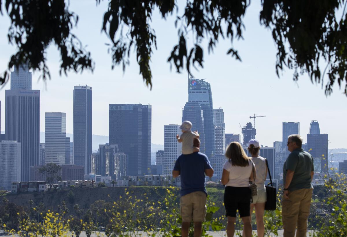
Southern California’s wild weather swings will continue this week as record-breaking heat gives way to rain and cooler temperatures.
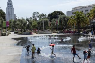
Multiple daily high-temperature records were broken Tuesday, including 93 degrees in Palm Springs and Thermal and 90 degrees in Anaheim and Camarillo, the National Weather Service said.
Palm Springs and Thermal’s sweltering heat was the hottest anywhere in the nation, and a full 119 degrees warmer than the lowest temperature recorded in the U.S. — minus 26 degrees outside of Pittsburg, N.H.
Wednesday stayed hot, with downtown Los Angeles hitting a high of 80 degrees. Daily temperature records were tied in Burbank and Woodland Hills at 85 and 87 degrees, respectively, but it was expected to be the last day of a warm weather streak before a massive cool-down moves in Thursday, forecasters said.
Rain is likely Thursday night and Friday morning, along with mountain snow and a slight chance of thunderstorms. Maximum temperatures on Friday are expected to be about 10 degrees below normal in the Los Angeles area, with highs topping out in the mid-50s to mid-60s.
The shift arrives amid several weeks of yo-yoing conditions, including a warm weather streak in February that sparked brush fires before giving way to hail and thunder.
“I’d say it’s been pretty dramatic,” said David Sweet, a meteorologist with the weather service in Oxnard.
In San Diego, last month was both the 10th-warmest February on record for average high temperatures and the 10th-coolest, officials said, with readings in the 90s and the 30s recorded for the first time ever in the same month.
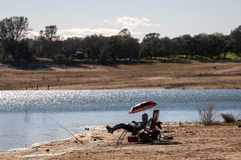
California just suffered its driest January and February in more than a century. Water officials tell residents to brace for a third year of drought.
January and February were also the driest ever recorded in most of California, with many areas receiving almost no precipitation. Sacramento on Tuesday broke its record for the longest stretch of dry weather during the wet season, 53 days, and also set a daily high temperature record of 78 degrees downtown, officials said.
As a result of the extraordinarily dry start to the year, statewide snowpack has dwindled to 63% of average, officials announced during the third snowpack survey of the season Tuesday. Many are hoping that March — typically the last month of the state’s wet season — will offer more moisture.
Sweet said the incoming system is moving from the Gulf of Alaska and could deliver snow in the Los Angeles area as low as 3,000 feet Thursday night and into Friday.
Current rainfall estimates call for between one-quarter and three-quarters of an inch, and brief heavy downpours and small hail are possible.
The system is part of a “series of cold lows dropping down into the area,” Sweet said, with the one arriving Thursday likely to be the wettest.
A second colder system will bring partly cloudy weather with a chance of showers to the area Saturday, he said.
Sunday will be sunny but cold, with temperatures in the mid-50s to 60s.
More to Read
Sign up for Essential California
The most important California stories and recommendations in your inbox every morning.
You may occasionally receive promotional content from the Los Angeles Times.
