Storm waves destroy famed ‘cement ship’ in Northern California
Storm-fueled waves in the Monterey Bay this weekend smashed the remains of the Palo Alto, a famed World War I-era vessel dubbed the “Cement Ship,” which is moored in the town of Aptos, according to the San Francisco Chronicle.
According to the National Weather Service, monster surf on Saturday set a new wave height record for Monterey Bay: 34.12 feet. The previous record was 32.8 feet, set in 2008.
The Palo Alto, whose stern was connected to a pier at Seacliff State Beach, was no match for the ocean’s might. The waves snapped the stern section of the ship and flipped it over.
Last February, El Nino waves severely fractured the ship, which has been crumbling for years and was already split into several pieces before the massive waves this weekend accelerated its demise.
“We’ve seen very large surf, with very little break in between, and it’s that repeated beating down by the ocean that seems to be having the biggest effect on the ship this year,” Bill Wolcott, a California State Parks public safety superintendent, told ABC 7 News.
The Palo Alto was built in 1919 for use as a tanker in World War I, but was not completed in time, according to the Aptos History Museum. It was stripped, then rebuilt to include a ballroom that hosted musicians including Benny Goodman, Paul Whiteman and Tommy Dorsey.
The ship has been moored at Seacliff Beach since 1930 and has remained a popular tourist attraction for the town.
“Everybody is running down to check it out, because it’s a significant change in the way the ship looks” after this weekend’s storm, Aptos History Museum curator John Hibble told ABC 7.
Thunderstorms, flash flooding possible as storms continue Monday
The rains that deluged Southern California over the weekend are set to continue Monday, with a possibility of thunderstorms and flash flooding throughout the region, according to the National Weather Service.
The storm, which forecasters said was the strongest in several years, set rainfall records on Sunday and caused widespread flooding after several hours of sustained, pouring rain. Although the rain will continue Monday, it will not be as intense as it was over the weekend, forecasters said.
“Today’s going to be more of a variable day, nothing like yesterday where we had moderate to heavy rain for most of the day,” said Bonnie Bartling, a weather specialist with the National Weather Service in Oxnard. “We’ll see some sun, then some showers. Nothing too organized.”
The weather service has issued a flash flood watch for all of Los Angeles County through the afternoon, and a winter storm warning for the mountain areas until 6 p.m., Bartling said.
Rock slides shut down Topanga Canyon Boulevard in Malibu
Topanga Canyon Boulevard was closed to traffic on Sunday because of rock slides, and transit officials said it could take up to three days for the road to reopen.
The California Highway Patrol said the road was closed from Pacific Coast Highway to Grand View Drive, a roughly 3.5-mile stretch. The closure will mostly force residents of Topanga, a bohemian enclave in the Santa Monica Mountains, to travel in and out of the area from the San Fernando Valley.
Photos of the road posted by Caltrans show boulders, small rocks and dirt over a segment of the two-lane road.
The city of Malibu said that Malibu Canyon Road remained closed in both directions.
Debris and mud were also reported around Pacific Coast Highway and Puerco Canyon Road, where motorists were advised to use caution. Mud and rocks were also reported on PCH at Carbon Canyon Road, city officials said.
Heavy snow forces closure of I-80 in the Sierra Nevada
Heavy snowfall on Sunday closed a roughly 70-mile stretch of Interstate 80 in the Sierra Nevada, halting a major thoroughfare between Reno and San Francisco.
The California Highway Patrol said the westbound lanes of the freeway were closed at the Nevada state line. Eastbound lanes were closed in Colfax, about 50 miles northeast of Sacramento, according to the CHP.
The freeway was estimated to reopen at 1:30 a.m., according to the state Department of Transportation.
The National Weather Service said “crippling” amounts of snow were expected to coat the Sierra, with 2 to 4 feet of snow expected around Lake Tahoe. Elevations above 7,000 feet were expected to see 3 to 6 feet of snow by Monday.
The mixture of strong winds and heavy snowfall prompted authorities to issue an avalanche warning for the Sierra backcountry.
Earlier Sunday, the winter storm briefly forced the closure of Highway 395 between Bishop and June Lake, limiting access to Mammoth Mountain. The popular ski resort said all lifts were closed Sunday because of the intense storm.
L.A.’s rainfall since Oct. 1 — more than 13 inches — has been 216% of normal
Southern California has been mired in a six-year drought. But Sunday’s storm is part of a larger shift toward wetter conditions that began last fall. Since October 1, downtown L.A. has received more than 13 inches of rain — 216% of normal rainfall for this period, which the National Weather Service said was 6.26 inches.
Officials said that much of the Southland remains in drought but that the storms of the last few days are helping.
Laurel Canyon closed again
Laurel Canyon Boulevard was closed in Hollywood Hills at Kirkwood Drive because of a downed tree.
Video shows firefighters rescuing motorists stranded in flooded intersection
Sunday’s storm brought record rainfall to Long Beach and left scores of intersections flooded.
No injuries were reported. But Long Beach fire officials said they did rescue a few people who got stranded in the water.
So far, so good in burn areas
In the Duarte burn area, many residents decided to stay in their homes home, despite mandatory evacuation orders. Rudy Fuentes, an elementary school teacher, said he stayed behind to protect his home in case things really got out of hand, though he said, “I hope it doesn’t come to that.”
His driveway was covered in about two inches of mud from Friday’s rains and mudflow, and he tied plywood across the driveway to protect it. He’s also got sandbags and, on Friday, and he and his son dug a couple of trenches.
“We just decided to stick it out,” Fuentes said.
Jerry Katz, a 25-year resident of the neighborhood, wasn’t worried at all. He didn’t put down sandbags or dig trenches. He blamed nervous lawyers for the city’s orders to leave.
“The real problem is I can’t take my son to Cheesecake Factory tonight,” Katz said.
Orange County officials remained on guard, particularly in Silverado Canyon, which is still recovering from a fire in 2014. Extra emergency crews have been brought in to help, including a bulldozer operator and two additional swift-water rescue teams.
“The ground still remains pretty saturated and … it can be problematic,” said Capt. Alan Wilkes of the Orange County Fire Authority.
Cliff collapses in Santa Barbara County; residents evacuated
A cliff and a patio collapsed into the ocean Sunday afternoon in Isla Vista as a powerful rainstorm walloped California’s coast.
The collapse forced officials to evacuate 15 to 20 residents of oceanfront apartment units, according to Gina DePinto, a spokeswoman for Santa Barbara County.
Fire officials received the call about 5 p.m. No injuries were reported, and the American Red Cross was expected to help displaced residents find shelter.
Building inspectors were dispatched to assess the stability of the cliff as well as the homes and buildings around the bluff, DePinto said.
Storms generate 34-foot wave, a new record for Central California coast
The latest storms to hit California have broken records.
According to the National Weather Service, monster surf on Saturday set a new wave height record for the Monterey Bay: 34.12 feet.
The previous record was 32.8 feet, set in 2008.
High surf was also reported across the Central Coast and north of San Francisco.
The powerful surf smashed the remains of a famed concrete ship, the S.S. Palo Alto, in the Monterey Bay town of Aptos.
Long Beach sets all-time rainfall record; widespread flooding across Southern California
A powerful storm dumped record-breaking rainfall in parts of Southern California, flooding freeways and numerous surface streets.
Southern Los Angeles County was particularly hard hit, with dozens of streets flooded from the Palos Verdes Peninsula through Long Beach and into Orange County.
The National Weather Service said Long Beach Airport set an all-time rain record at 3.87 inches. Other parts of Southern California, including LAX, set new records for the day.
Wind gusts top 80 mph
Heavy winds and rain pushed trees onto roadways.
2 rescued from rising floodwaters in Wilmington
Los Angeles Fire Department personnel rescued two people stranded by floodwater Sunday in Wilmington at Pacific Coast Highway and Pine Creek Lane.
Dramatic scenes in Malibu hills
The Malibu area was hit hard by the storm. Topanga Canyon Road was closed, and mudslides and debris were reported on other roads in the Santa Monica Mountains.
Sepulveda Tunnel at LAX closed, causing airport traffic woes
The Sepulveda Tunnel, a key route in and out of Los Angeles International Airport, was closed by flooding until further notice.
Officials urged motorists to use other routes.
Mudflows intensify in Duarte burn area
One of the biggest concerns for this flood is mudflow in areas burned by recent wildfires.
A hillside community in Duarte was hit by mudflows during Friday’s storm and is being hit again on Sunday.
Several areas in Santa Clarita, Orange County and Santa Barbara have been evacuated due to risk from mudflows.
Rains bring a Disneyland miracle: small crowds, short lines
At Disneyland, heavy rains poured as a flash flood warning was issued as the sparse number of guests hid under the monorail.
Some guests were clearly unprepared for the rain — wearing jeans, sneakers and hoodies, with some even without an umbrella — while some parents came with rain gear and covered strollers in clear, waterproof plastic.
Some rides were not operational. But the visitors who did come enjoyed short lines — less than half an hour for Hyperspace Mountain, compared with lines that typically can last for two hours. Lines for Space Mountain lasted only 10 minutes.
And selling briskly were light saber umbrellas that glowed, despite a hefty price tag of $65.
A big seller: $10 ponchos.
Freeways and roads inundated by water; flash flood warnings issued
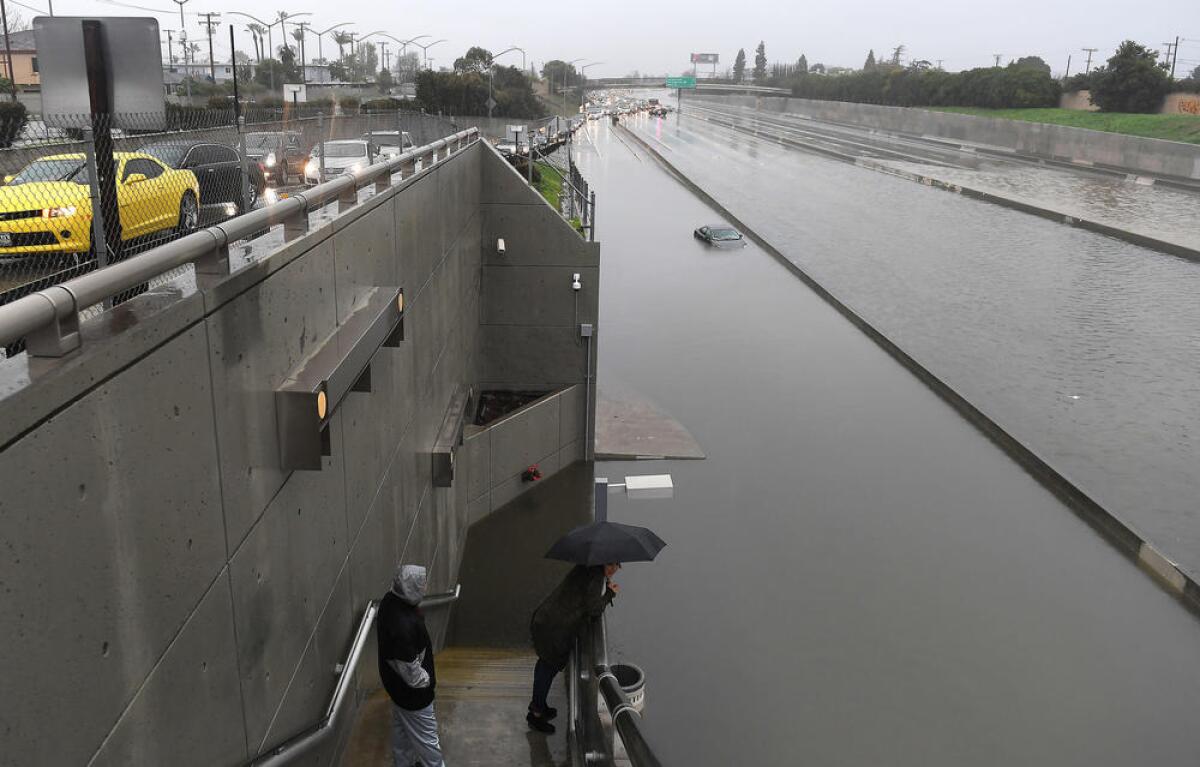
Numerous roads around Southern California have been flooded by sustained bursts of intense rain. The 710 Freeway flooded near Pacific Coast Highway, and the 110 Freeway experienced high water near Torrance. Several surface streets were also blocked by standing water and fallen trees.
The National Weather Service issued flash flood warnings for the South Bay, the L.A. Harbor area, Long Beach, Anaheim and Santa Ana through 4:30 p.m.
A warning about the L.A. River during the rain
The Los Angeles County Department of Public Works on Twitter is reminding people to stay away from flood control channels, such as the L.A. River, during rain storms.
Because this is what it looks like in Universal City:
And the county offers information about road closures here.
The latest from the National Weather Service in L.A.
Watch the water start to rise in Sespe Creek
Morning conditions: Heavy rains and reports of spinouts on Southern California roads
Storm expected to pick up intensity as the day progresses
Rain is expected to pick up intensity early Sunday before transforming into a heavy storm from about 11 a.m. to 4 pm., according to meteorologists with the National Weather Service.
During the heaviest period of rain on Sunday, coastal areas are expected to see up to an inch of rain, the San Fernando Valley up to 1½ inches, the San Gabriel Mountains up to 2¼ inches, and downtown Los Angeles up to 1⅓ inches.
It looks like it’s shaping up to be the strongest storm of the season
— Carol Smith, of the National Weather Service
Heavy rain topples massive tree in Northridge
Laurel Canyon closed ‘until further notice’ after mudslide
Laurel Canyon Boulevard will remain closed “until further notice” after a mudslide shut down the roadway between Sunset Boulevard and Mulholland Drive, city officials said.
There are closures at:
- Sunset Boulevard and Laurel Canyon Boulevard
- Hollywood Boulevard and Laurel Canyon Boulevard
- Kirkwood Drive and Laurel Canyon Boulevard
- Mount Olympus Drive and Laurel Canyon Boulevard
- Mulholland Drive and Laurel Canyon Boulevard
Residents are being allowed to access their homes, but officials advised commuters to use freeways as alternate routes. The area is completely closed to trucks over 6,000 pounds.
Flood advisory expires
Find out which roads are closed around L.A. County
National Weather Service issues flash flood warning for Duarte, other burn areas
The scene at Lake Tahoe’s Heavenly ski resort
It’s been a wet year in Northern California
Drought relief: A year of California drought levels
Some of the greatest improvement in California’s recovery from a multiyear drought has occurred in just this past week, according to the most recent U.S. Drought Monitor report. Nearly 35% of the state, concentrated in Northern California, is currently free of drought conditions. A year ago, no part of the state was drought free.
The state’s most severely drought-stricken areas, concentrated in Southern California, shrank from 43% a year ago to 2% as of this week.
See maps of every week of California’s multiyear drought here.
Tree falls on Metro train in Pasadena, causing 20-minute delays
A tree fell on a southbound Metro train in Pasadena on Thursday morning, delaying the commute for 20 minutes.
Metro officials said the downed tree was caused by recent rains and stormy weather. Passengers were removed from the train while Metro crews worked to set up buses to transport the morning commuters.
Watch the showers moving into Ventura County
Laurel Canyon remains closed
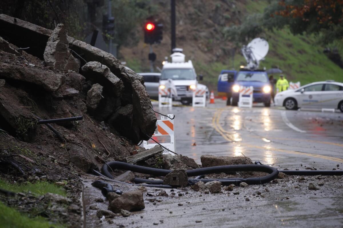
The LAPD advised taking alternative routes and planning for extra time on the road after a mudslide caused a closure on Laurel Canyon Boulevard between Sunset Boulevard and Mulholland Drive.
Is the drought coming to an end? Yes. Or at least maybe
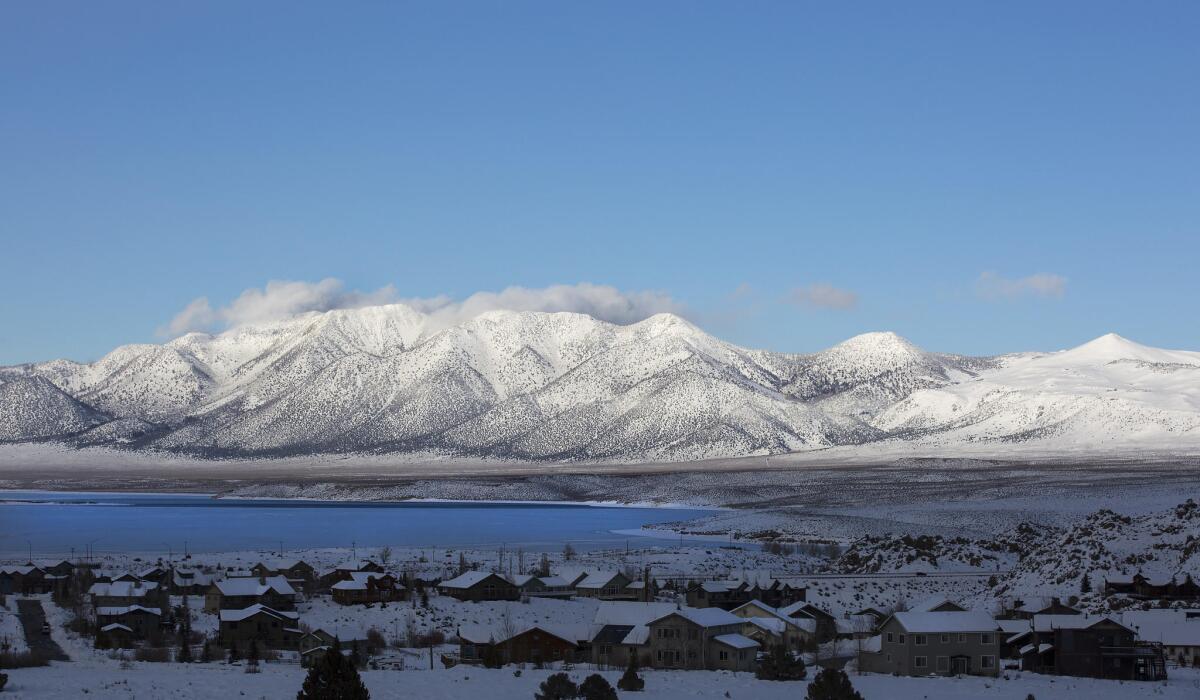
The state’s biggest reservoirs are swelling. The Sierra Nevada have seen as much snow, sleet, hail and rain as during the wettest years on record. Rainy Los Angeles feels more like London than Southern California.
So is the great California drought finally calling it quits?
Yes. Or at least maybe. If the storm systems keep coming, state and regional water managers say, 2017 could be the end of a dry spell that has, for more than five years, caused crops to wither, reservoirs to run dry and homeowners to rip out their lawns and plant cactus.
What’s the difference between a debris flow and a landslide?

Animated infographic shows how debris flows and deep-seated landslides happen
What today’s storm system looks like from above
U.S. Drought Monitor: Well over 30% of the state is no longer in a drought
A week of powerful storms in Northern California has significantly eased the state’s water shortage, with a large swath of the state emerging from drought conditions, officials said Thursday.
The numbers underscore what officials have been saying for several months about the drought. As a series of storms have hit Northern California this winter, the drought picture there is easing, but is still more of a factor in Southern California and the Central Valley.
Evacuations in Marin County after creek overflows banks
People were briefly evacuated late Tuesday from homes and businesses in the North Bay town of San Anselmo after a nearby creek overflowed its banks, authorities said.
The Corte Madera Creek rose about one foot over its flood stage in Ross Valley, according to the Marin County Sheriff’s Office. Police in San Anselmo said the creek reached about 8 inches above the flood stage.
Flood sirens blared in San Anselmo, Fairfax and Ross Valley, located about 20 miles north of San Francisco, and officials asked residents to seek higher ground.
Roads in downtown San Anselmo were shut down, but just before 9 p.m., officials lifted the evacuation order.
Man found dead in car submerged in Novato creek
A 20-year-old man was found dead Monday inside an overturned car submerged in a creek in Novato, authorities said.
The Marin County Sheriff’s Office said investigators think severe weather conditions, speed and a lack of tire tread on the car could have resulted in the solo crash.
The crash was reported about 8:35 a.m. after a resident found the overturned vehicle in the creek in the 5000 block of Novato Boulevard.
When authorities arrived, they found Jose Enrique Hernandez dead in the Nissan Altima, according to a sheriff’s office statement.
Authorities believe he died overnight, possibly after leaving work on Sunday night. He was last seen driving alone, the sheriff’s office said.
An autopsy will be performed later this week.
Rain, wind and snow trigger avalanche warning
An avalanche closed Alpine Meadows Road Tuesday afternoon, according to the Sierra Avalanche Center. At least 12 homes were affected by the avalanche.
Authorities are knocking on doors to ensure the homes are empty, the center said. The houses were not damaged by the avalanche and no one was injured.
‘Life-threatening blizzard conditions’ in the eastern Sierra Nevada
High winds and blizzard conditions prompted travel warnings and road closures in the eastern Sierra Nevada on Tuesday as a second powerful storm moved through Northern California.
The National Weather Service warned that the atmospheric river storm will generate high winds and heavy snow through at least Wednesday.
“Bottom line: Do not travel in the eastern Sierra,” the Weather Service’s Reno office wrote in a forecast Tuesday morning. “Life threatening blizzard conditions are occurring in places and will continue through Wednesday morning. The next 24 hours will be very active to say the least...”
The Weather Service warned that wind gusts of up to 50 to 60 miles per hour “will create whiteout conditions along with heavy snow,” accumulating up to 10 feet of in higher elevations and several feet at lower altitude.
Mono County law enforcement officials reported visibility at only 10 feet in some areas, according to the Weather Service.
The storm triggered a number of wind and snow-related road closures.
That included a 115-mile stretch of U.S. Route 395 from Pearsonville north to Bishop closed due to high winds that were kicking up dust and limiting visibility.
That closure was lifted for passenger vehicles Tuesday morning, but high-profile vehicles were still prohibited from Pearsonville to Lone Pine, according to Florene Trainor, a Caltrans spokeswoman.
Authorities also closed U.S. 395, a key north-south transportation corridor, 1 mile north of State Route 203 near Mammoth Lakes to Bridgeport because of whiteout conditions, Trainor said.
Storms have added 33.6 billion gallons of water to Lake Tahoe since Jan. 1
Hundreds of people were evacuated from their homes as rivers overflowed their banks.
The series of storms over the last few weeks in the Sierra Nevada have been very good to Lake Tahoe.
According to the National Weather Service, the lake has gained about 33.6 billion gallons of water since Jan. 1 -- and the lake has risen about one foot.
It’s a big turn around from just a few years ago, when the drought had Lake Tahoe water levels reaching record lows.
After a lull Monday, more snow is on the way for the Sierra through Thursday.
Wind gusts from California storms hit 159 mph; woman killed by falling tree
There was a lot of snow and rain during the last storm that moved through Northern California.
But the heavy winds were also a destructive factor.
In the East Bay, a woman was killed on a golf course in San Ramon when a tree fell on her.
And in Squaw Valley in the Sierra Nevada, wind gusts on Sunday hit 159 mph.
The storms over the weekend were relatively warm, meaning snows levels stay high. Some of the snow that did fall melted fairly quickly, creating raging rivers — and flooding — across the region.
But the next rounds of storms will be colder, meaning more of the snow will stick. That’s good news for the state’s water collection systems, which rely on snow remaining in the Sierra Nevada into the spring.
The colder storms bring with them the threat of blizzard and white-out conditions, as well as avalanches.
“It’s not over yet,” said Alex Hoon, a meteorologist in the National Weather Service’s Reno station.
The storm is expected to last until Thursday and will bring several feet of snow to lower altitudes, such as Lake Tahoe and Mammoth Mountain in Northern California, as well as cities in western Nevada and southern Oregon.
Yosemite Valley to reopen Tuesday
If conditions permit, Yosemite Valley will reopen to visitors at Yosemite National Park Tuesday morning following a weekend storm that saw the Merced River flood, park officials said.
The tourist-popular Yosemite Valley was closed Friday evening before a massive storm that dumped feet of snow in the Sierra Nevada and inches of rain in mountain and foothill communities Saturday and Sunday.
Other sections of the park remained open throughout the storm, park officials said.
The Merced River reached flood stage Sunday but was lowering Monday as rains statewide tapered off. Another storm, this one colder, is expected to sweep across the region Tuesday through Thursday.
Here’s what flooding conditions look like in California
12-year-old girl rescued from submerged car in Placer County
Rivers swell across the state
Westbound I-80 still closed to drivers: ‘We have a river on the interstate’
Interstate 80 reopened Monday morning heading east, but westbound drivers attempting to enter California were stopped at the border. Those who could show they had business in Truckee were allowed through, but for the rest, the remnants of a giant mudslide from Sunday evening kept the road closed.
Heavy machinery operators had made progress overnight, said California Highway Patrol Officer Peter Mann, but water cascading off the Donner Summit slope was the next problem.
“We have a river on the interstate,” Mann said. The state seeks to reopen the road, the main artery for truckers bringing goods to the San Francisco Bay area, by afternoon.
As the tropical weather system, dubbed the Pineapple Express, leaves the Sierra Nevada, temperatures have begun to plummet and snowflakes returned to the sky.
A new winter storm warning has been issued for Tuesday through Thursday. The storm could bring up to 7 feet of snow at the higher mountain passes and 3 feet of fresh snow in the mountain valleys.
Sacramento River floodgates to open for first time in a decade

Hundreds of people were evacuated from their homes as rivers overflowed their banks.
Rising floodwaters have triggered actions to protect the city of Sacramento.
For the first time in a decade, the floodgates of the Sacramento River will be opened Monday morning, releasing a wall of water downstream into the Yolo Bypass.
The National Weather Service warned farmers in the river valley region to have livestock and farm equipment moved out of the way. The California Department of Water Resources last opened the gates of the manually operated weir, built in 1916, in 2005.
The low-level Yolo Bypass is one of several drainage areas designed to catch floodwaters in such situations, but is used for farming in dry years.
Eastbound I-80 reopens after major mudslide prompted overnight closure
The eastbound Interstate 80 in the Sierra Nevada reopened Monday morning after a major mudslide at Donner Summit closed the route and cut off the main transportation path between Reno and San Francisco.
The road was reopened from Colfax to the state line, according to Caltrans.
Authorities said the flow of mud and rock extended across the westbound lanes of the road for about the length of a football field and was 7 feet deep in places.
Downed power lines forced the closure and complicated cleanup efforts.
This is what Upper Yosemite Fall looked like yesterday
Heavy snowfall in Pyramid Creek area
Flash flood watch canceled in Los Angeles
Mudslide closes part of Highway 84 in Fremont
A mudslide early Monday shut down part of Highway 84, according to police in Fremont, Calif.
The highway was closed between the Fremont and Sunol areas, officials said, and Caltrans crews were on the scene.
Authorities estimated that it could take several hours to reopen the roadway.
Carmel Valley homes flooded by river water after nearby levee breaks
Ten homes in the Carmel Valley were partly flooded late Sunday after a nearby river swelled from heavy rain that pummeled Northern California, authorities said.
The Carmel River breached “by several feet” and a levee in the area broke, sending water toward a cluster of 10 homes along the river bank, according to the Monterey County Office of Emergency Services.
The extent of damage to the homes was not immediately known.
A water rescue team from the California Department of Forestry and Fire Protection, along with sheriff’s deputies and Red Cross officials, responded to the scene. Most of the homeowners chose to remain, officials said, but wo residents who were described as elderly were evacuated.
The water began to recede about 12:30 a.m. Monday. Authorities said deputies would remain at the site to monitor conditions.
The National Weather Service initially estimated that 20 to 30 homes could have been inundated by the levee breach.
A flash flood warning was in place for northwestern Monterey County until 2 a.m. Monday.
I-80 closed in both directions near Donner Summit after mudslide as big as a football field
A major mudslide at Donner Summit on Sunday night closed Interstate 80 in the Sierra Nevada, cutting off the main transportation route between Reno and San Francisco.
California Highway Patrol Officer Peter Mann said the flow of mud and rock extended across the westbound lanes of the road for about the length of a football field and was 7 feet deep in places.
UPDATE: Eastbound I-80 reopens after major mudslide prompted overnight closure >>
Downed power lines forced the closure of the eastbound lanes and complicated cleanup efforts, he said.
The road was expected to remain closed for hours, possibly until Monday morning. By then, it could be snowing thick enough to require chains for passage.
“The mess just keeps getting better,” Mann said.
How do you keep avalanches at bay on Mammoth Mountain? A military-grade gun
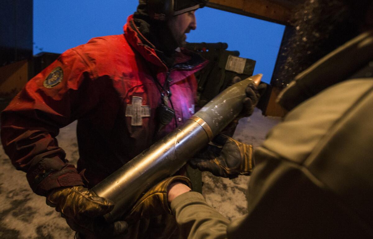
On Mammoth Mountain, a Sierra peak synonymous with snow, they have a time-tested approach for dealing with avalanche hazards: They shoot at them with a 105-millimeter howitzer leased from the U.S. Army.
An iconic tunnel tree in a California state park is no more after huge storm
The toll from the powerful winter storm rolling through Northern California included one of Calaveras County’s oldest residents, a giant sequoia called the Pioneer Cabin.
The tree, named for the tunnel that had been carved into its broad base 137 years ago, was located in the Calaveras Big Trees State Park and toppled Sunday.
“We lost an old friend today,” wrote county resident Jim Allday, who posted a picture of the fallen titan on his Facebook page.
His photos show the tree trunk splintered heavily at its base.
Visitors could once drive through the tree, but it was most recently open only to hikers along a 1.5-mile loop.
The giant sequoias in the state park — the tallest of which is 250 feet — are estimated to be more than 1,000 years old.
“This iconic and still living tree — the tunnel tree — enchanted many visitors. The storm was just too much for it,” the Calaveras Big Trees Assn. said on its Facebook page.
The Calaveras Big Trees State Park is located northeast of Angels Camp.
John Muir, the famous naturalist, once described the forest that is protected by Calaveras Big Trees State Park: “A flowering glade in the very heart of the woods, forming a fine center for the student, and a delicious resting place for the weary.”
More than 90,000 Californians without power
More than 91,000 Pacific Gas & Electric customers were without power as of Sunday afternoon as rain, snow and winds caused flooding and knocked down power lines, said PG&E spokesman Paul Doherty.
Doherty said that those who lost power were throughout PG&E’s service area that spans the northern half of California, from Bakersfield in the south to Eureka in the north.
In the San Francisco Bay Area alone, 33,200 customers didn’t have power as of 2:45 p.m., Doherty said.
He said that 80% of those who’d lost power since the storm began Saturday had had their power restored.
“Obviously we’ve seen the storm pick up in intensity today,” he said Sunday afternoon.
Doherty said PG&E had prepared for the major storm and had extra crews -- a total of 1,400 people -- that were ready to respond to outages. The agency set up an emergency operations center in downtown San Francisco, as well as a staging area in the Santa Cruz mountains to be prepared to respond to outages there.
Doherty said he expected most customers’ power would be restored by late Monday, but that another strong storm was expected on Tuesday and Wednesday.
“We’ll have our emergency operations center as long as necessary,” he said.
The rapid rise of the Truckee River
How much rain will Northern California get?
395 closed in both directions near Mammoth Lakes
Picnic table underwater at Yosemite
Flooding imminent at the Truckee River
The Truckee river was at 1 1/2 feet on Saturday. By Sunday morning it had risen to 3 1/2 feet.
It tops its banks at 4 1/2 feet and is expected to crest at 2 p.m. over 7 feet in depth, according to the U.S. Geological Survey.
That wall of water is expected to take out private bridges in the Alpine Meadows area north of North Tahoe. Later in the day it will move downstream into Reno, where flooding is also expected the agency said.
Flooding on Donner Pass Road
Thunder, lightning at Mammoth Mountain resort, serious slush in Mammoth Lakes
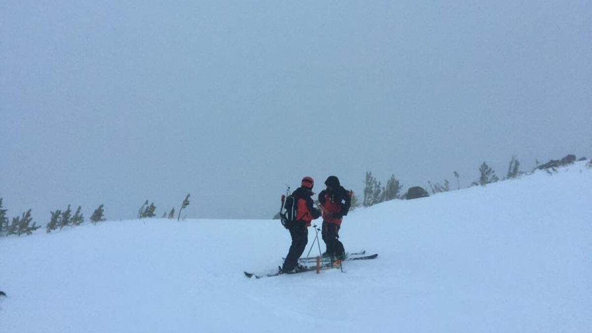
Lifts at the Mammoth Mountain ski area were not operating Sunday morning because of thunder and lightning.
“Let’s just say it’s not a winter wonderland... high winds, thunder, lightning and rain in town,” the resort wrote on its Twitter feed.
Visiting skiers and snowboarders were packing up their cars to head home Sunday morning.
As Mammoth Lakes emptied out, the town rattled with the crash of thunder, lightning and the sound of huge slabs of snow sliding off roofs onto the ground.
Erik Radatz, 45, who runs a pet grooming salon in Mammoth Lakes, rushed to shovel sand into sandbags to protect his home as the rain came down.
His advice for anyone from Los Angeles thinking of heading up to Mammoth?
“Stay home,” he said. “But if you do come, don’t bring skis — bring waterskis.”
Flooding, mudslides and ‘extreme’ avalanche warning
Officials reported scattered flooding and mudslides throughout the Sierra Nevada region on Sunday morning, including a washed out road in Windsor that required the rescue of two people. Local authorities were watching rising water levels at several key rivers, including the Truckee, Merced, American and Russian.
An “extreme” avalanche warning was issued for parts of the Sierra Nevada on Sunday because of heavy snow. In Mammoth Lakes, officials said higher elevations recorded 48 inches of snow in the last two days.
CHP vehicle stuck in the snow near Mammoth Lakes
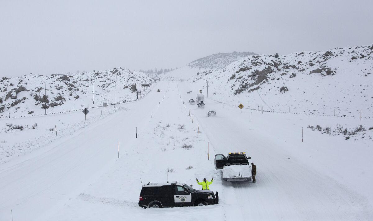
Plunging snow lines make roads slick
Here’s how California went from drought to dangerous rain and snow
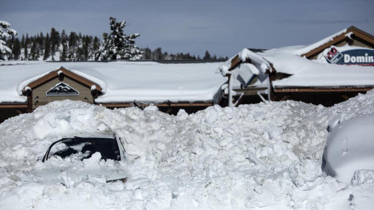
After years of dry conditions, California is getting its winter back.
A series of storms over the last month have dumped heavy snow and rain in some parts of Northern California. And Southern California had its wettest December in several years.
Heavier precipitation in the north of the state has slowly been easing the drought, though it is not over.
Storms over the next few days are expected to continue this trend but also bring dangers.
Northern California is expected to be hit today and Sunday, then again Tuesday and Wednesday.
Truckee River forecast to spill over banks Sunday
With the Truckee River forecast to crest above flood stage Sunday at 2 p.m., residents filled sand bags at a local fire station to shore up their fortifications.
“It just wasn’t enough,” Truckee resident Monique Long explained on her return trip for more bags after watching East Alder Creek rise. “Everything is quickly coming up.”
Avalanche warnings were at their highest level and the Sierra Avalanche Prediction Center warned against travel in high terrain.
Skiers’ bonanza in Tahoe
Flood watch closes Reno’s three courts
Plow operator feels the weight of snow through the wheel
Chain checkpoint near Bishop
Mammoth Lakes goes on war footing
As Mammoth Lakes braced for as much as 12 inches of rain through Monday, residents loaded up on sandbags, hoping to prevent a repeat of past flooding disasters.
“I was here in 1982 when this town was wrecked by massive flooding,” said Greg Newbry, 66, a recently retired Mono County employee.”Main street was under 2 feet of water. Businesses closed. The roofs of five mobile homes collapsed under the weight of rain on snow.”
“It’ll probably be like having a giant fire hose turned on us and we’ll be swamped,” said Lisa Isaacs, a resident and environmental activist. “I just hope my little $150 water pump can keep with it.”
Warmer wet weather poses flood threat in eastern Sierra Nevada
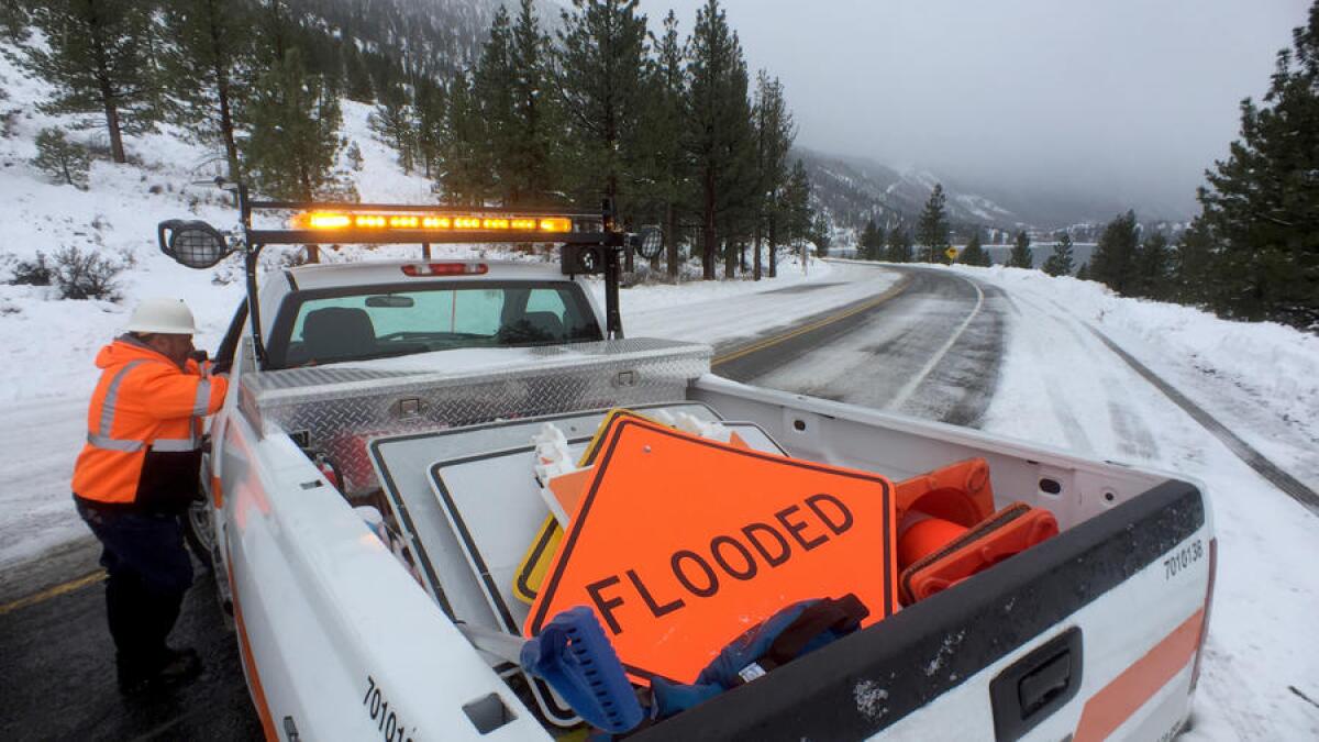
Greg Miller, A Caltrans maintenance manager, warned rain could fall here even at high elevations, melting built-up snow and unleashing mudslides, avalanches and flooding:
“It’s the rain over the snow that we’re worried about. We’ve had snow since Christmas, but now with the warmer trend we’re worried about water.”
Lots of snow at Sugar Bowl Ski Resort
Track rainfall totals with this free mobile app
With forecasters predicting the most powerful storm in a decade in Northern California this weekend — and more precipitation likely throughout the state in the coming days — UC Irvine engineers are hoping researchers, hydrologists and weather enthusiasts will make the most of their iRain mobile app.
Launched in November, the free app displays animations of rainfall amounts around the world. Users can zoom in on local areas and choose specific time periods to track.
Users also can submit reports on rain and snow in their areas to the application, which is available for iPhones and Android devices.
Slippery conditions along Highway 395 north of Bishop
Raw video: Caltrans crew fires explosives to mitigate avalanche danger
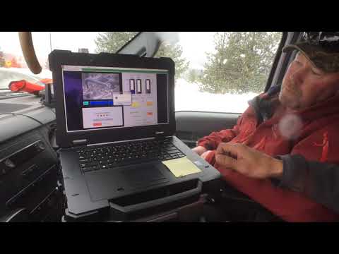
Caltrans crew fires explosives along Highway 158 in Mono County in measure to prevent avalanche danger. Video by Brian van der Brug / Los Angeles Times
Still snowing near Mammoth but rain is expected soon
Snow covers vehicles in a parking lot in Mammoth Lakes
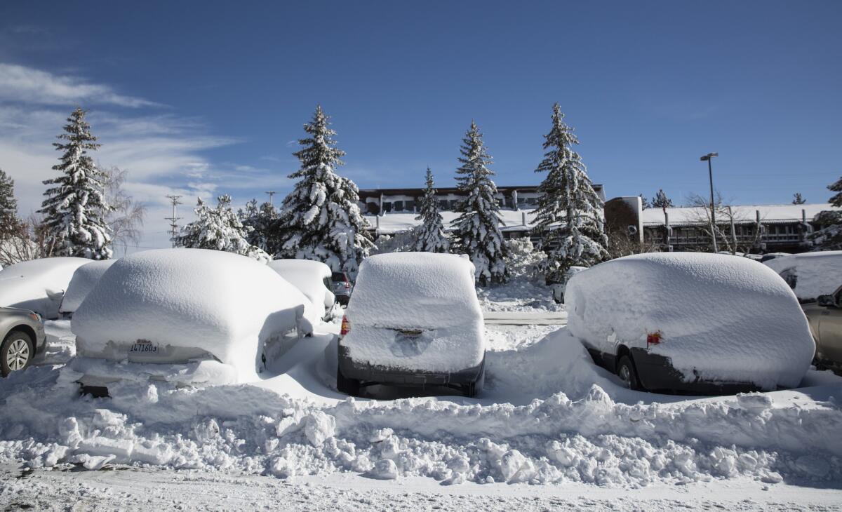
Forecasters predict this storm will be the region’s most powerful in a decade.
Here’s where chains are required now in the Sierra Nevada
Massive storm system moves into Northern California
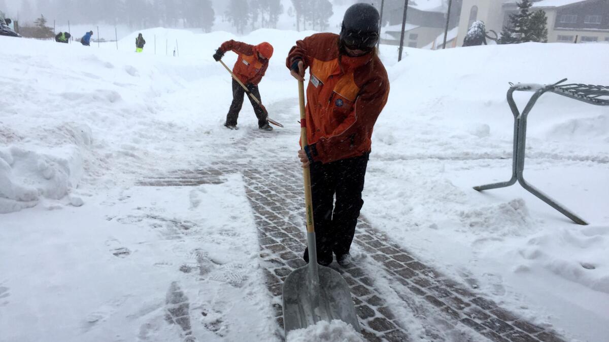
The first band of what forecasters predict will be the region’s most powerful storm in a decade moved into Northern California on Saturday, prompting official warnings of widespread flooding and epic snowfall.
“People are definitely in a state of panic right now,” said El Dorado County Sheriff’s Sgt. Todd Hammitt. “We’re getting a lot of calls asking if we’re going to be able to deal with everything. It’s the general pandemonium of not knowing what’s coming.”
Mammoth prepares for monster snowstorm
Below clear blue skies Friday, people in the snow-shrouded ski town of Mammoth Lakes were gleeful that a series of storms on the way to the eastern Sierra Nevada could bring several more feet of snow.
Yet some also worried that the big, wet storm on tap for this weekend — known as an atmospheric river — could dump so much rain and snow that it could shut down some ski runs or roads.
In preparation, snowplows were scraping icy roadways. Excavators and snowblower operators stayed busy clearing and moving huge piles of snow. Some cars sat abandoned on the roadside or at gas stations, covered with thick blankets of snow from the most recent storm.
710 Freeway reopens after emergency concrete slab replacement
The northbound lanes of the 710 Freeway in Commerce were reopened Thursday after crews replaced a concrete slab that was damaged by the rainy weather.
The northbound lanes were closed about 2 p.m. near the 5 Freeway interchange, according to the California Highway Patrol.
Several concrete slabs were damaged from recent stormy weather and posed a hazard to motorists, officials told KABC-TV.
The hours-long closure snarled traffic during the evening commute, with the freeway backed up for 7 miles.
Caltrans urged drivers to exit at Olympic Boulevard and use the Olympic Boulevard onramp to return to the northbound freeway.
The CHP canceled the Sig Alert about 6:45 p.m. and said all northbound lanes had been reopened.
Ski resorts prepare for more snow
Chain laws were in effect for Mammoth Lakes on Thursday after the first of a potentially historic string of winter storms dumped more than 3 feet of snow on the Eastern Sierra ski town. Up to 20 feet of snow was forecast over the next week and a half.
The midweek storm left 7 feet of snow at the summit, and though travel was spotty, travelers were able to get out of town. The storms come on the heels of the area’s holiday season and lead up to the long and traditionally busy Martin Luther King Jr. holiday weekend, Jan. 14-16.
“We’re actually getting tons more booking for this weekend and next,” Bianca Longino said in between taking reservation requests at the Seasons 4 condo complex in the village.
“For us, there’s no such thing as too much snow,” she said.
This live stream shows current conditions at Mammoth Lakes
See more live streams of conditions in the area at mammothsnowman.com >>
Up to 15 inches of precipitation expected in the next week
The National Weather Service predicts up to 15 inches of precipitation in the next seven days for parts of Northern California.
Latest storm prompts river rescue, slows down sinkhole repair
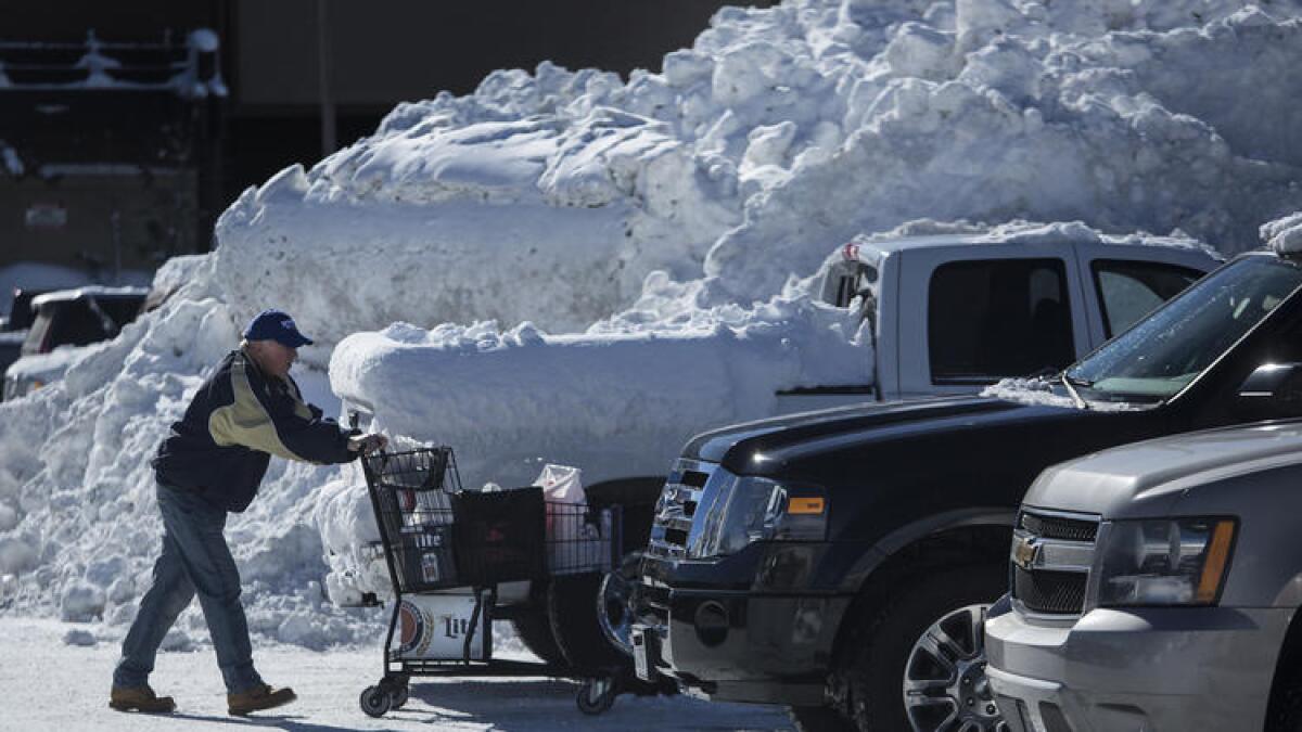
Firefighters rescued a man who was stranded on an island of branches and brush in the rain-swollen Los Angeles River near Fletcher Drive in Silver Lake, according to Brian Humphrey, a spokesman for the Los Angeles Fire Department.

The rain was also hampering Department of Public Works crews dealing with a sinkhole discovered in a residential neighborhood in Redondo Beach.
The sinkhole was reported about 1 p.m. Wednesday in the 1600 block of Ford Avenue, Police Sgt. Alan Beck said. It was unclear what caused the sinkhole to form.
Beck said steady showers were quickly filling the sinkhole.
California braces for ‘once-in-10-year’ storm
Sierra travelers trapped by back-to-back storms that dropped more than 2 feet of snow have a brief window to pass, before the arrival of a weather system Saturday so wet forecasters are calling it an “atmospheric river.”
Up to 12 inches of rain below 8,500 feet are expected, and massive amounts of snow — up to 6 feet — above that elevation. A fifth, colder storm two days behind that will drop yet more heavy snow.
“It’s a once-in-10-year event,” said Zach Tolby, a meteorologist with the National Weather Service in Reno. “It’s the strongest storm we’ve seen in a long time, the kind of setup we look for to get significant flooding.”
Colfax, the turnaround town, is ready.
“It’s something we prepare for -- it goes with the snow, hand in hand,” said Wes Heathcock, community services director for the tiny Placer County town that has perhaps one of the most used Interstate 80 on/off ramps in Northern California when it is a snow day.
Exactly how much rain should California expect?
Watch: How to drive in the rain
Here are some tips on how to drive safely in rainy weather.
See what the conditions are like in Mammoth right now
Mammoth Mountain is seeing some intense weather this week. For a live view at how the snow is affecting the resort, click here.
What will it take to end California’s drought?
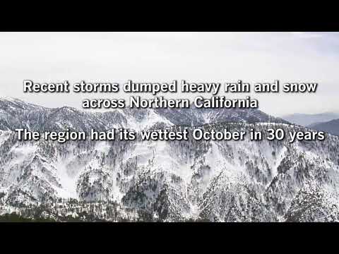
Melted snow provides 30% of the state’s water as it flows into streams, rivers and reservoirs over the spring and summer.
The resort town of Phillips high in the Sierra Nevada has long been a barometer of California’s drought.
Snow measuring station 3 in the El Dorado County town was where Gov. Jerry Brown came in April 2015 to announce major drought restrictions, using the dry, snow-less landscape as a stark backdrop.
On Tuesday, Frank Gehrke of the California Department of Water Resources performed the manual measurement at the same spot, this time covered in 3 feet of snow.
It measured just 53% of the seasonal average, but officials took that as further proof California’s six-year drought was easing.
“While that seems perhaps a little gloomy, keep in mind that we had pretty much bare ground here about a week ago,” Gehrke said.