California has so much snow that flood danger will last through the year
A clearer picture of California’s flood risk is beginning to emerge as temperatures rise and officials release new forecasts for snowmelt and runoff. The legacy of the state’s remarkably wet winter could linger through much of the year, the latest outlooks show.
The Tulare Lake basin and the San Joaquin River basin remain the areas of top concern, as record-deep snowpack in the southern Sierra Nevada is expected to send a cascade of water down into the San Joaquin Valley as it melts.
Residents who live in the potential path of runoff should be prepared to take action, said Jeremy Arrich, manager of the division of flood management with the state Department of Water Resources.
“Be aware of your flood risks,” Arrich said. “Know where your house or your business sits within or around the potential for flooding. Be prepared by planning out evacuation routes and meeting locations with your family, and then take action if the emergency response or local entities send out evacuation orders or warnings.”
California’s average temperature in March was 44.2 degrees, nearly 9 degrees lower than in March 2022, the National Oceanic and Atmospheric Administration said.
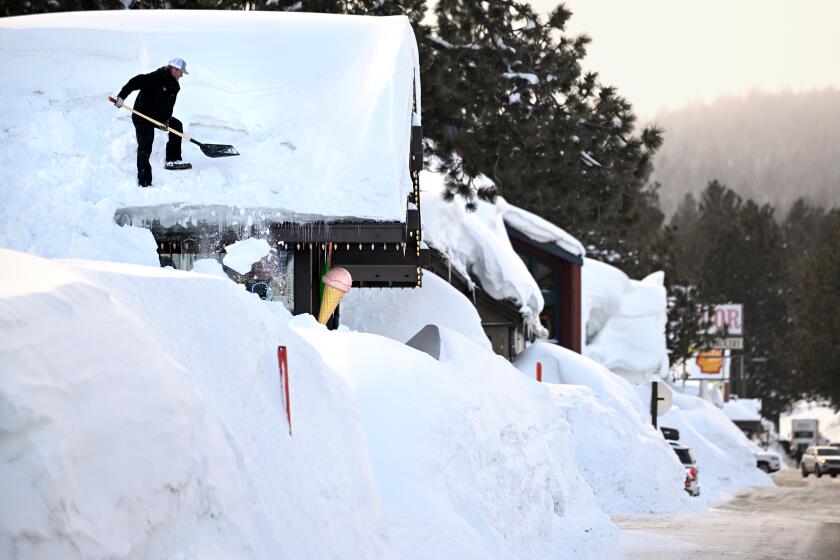
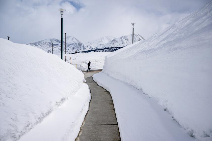
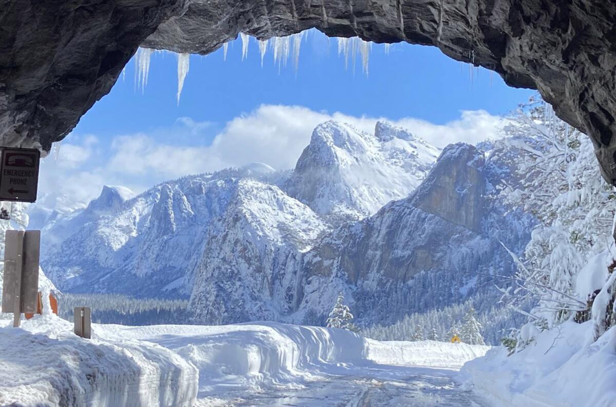
The threat comes after one of the state’s coldest, wettest winters on record left Sierra snowpack at 249% of normal for the date. Mammoth Mountain received more than 700 inches of fresh powder this season, and there is now more water contained in the state’s snowpack than the capacity of Lake Mead, the nation’s largest reservoir.
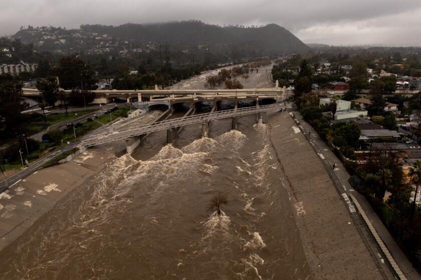
Some parts of the San Joaquin Valley have already seen some melting and could “start to have significant flooding in the coming days,” said UCLA climate scientist Daniel Swain.
“All the flooding we’re seeing right now is just a taste of what is likely to come, because these flows that are high right now are mainly high based on the melting that occurred a while back and precipitation that fell a long time ago,” Swain said.
He noted that the snow water equivalent — or the amount of water contained in the snow — peaked at 300% to 400% of average in some watersheds, and “most of the snow up there has yet to melt.”
“In fact, somewhere around 98% of the snow that was up there at the peak is still there, and is still going to melt, and is still going to become runoff and fill rivers, reservoirs and probably floodplains,” he said.
State officials on Tuesday stopped short of predicting specific flood locations, noting that much of the timing and impacts will depend on the weather. But historic snowmelt patterns could give an indication of what’s to come, according to Mike Anderson, state climatologist with the DWR.
About a quarter of the snowmelt in the San Joaquin basin typically occurs in April, with the bulk of the snow coming down in May and June before tapering off in July, he said.
Watersheds in the Tulare basin are varied, with the Kings and Kern rivers seeing the largest part of their snowmelt in May or June. The Tule River, located at a lower elevation, sees more melt “up front,” with about 38% in April and only 6% by July, Anderson said.
“Remember, it’s not just temperature that is involved in melting the snowpack,” he said. “It takes a lot of solar radiation to get that pack ready, to get those ice crystals ready, to a state where they can become water.”
The snowpack is so deep that it currently contains roughly 30 million acre-feet of water — more water than Lake Mead, the nation’s largest reservoir.
But while the next few months will see the bulk of the melt, the depth and density of the snowpack means flows could persist into fall, according to state water supply forecasts.
The forecast shows nearly every major river system receiving runoff into September. That includes 69,000 acre-feet of water into the Kings River watershed just that month alone, and 51,000 acre-feet into the Kern. An acre-foot is approximately 326,000 gallons.
Dave Rizzardo, hydrology branch manager with the DWR, said the numbers represent unimpaired flows, or the total amount of water that could flow into a watershed without accounting for evaporation, diversions or other factors that can in some instances reduce the yield.
“There’s a lot of cogs in the wheel there that have to be considered,” he said. “And so that’s why the last piece is, how much is going to make it downstream, and how high is the river going to get at whatever location. It’s very complicated.”
Even still, some systems are expected to receive inflows far above average by the end of the water year, which runs annually from October through September. Lake Success, the Tule River reservoir, could receive a total of 570,000 acre-feet this water year — or 431% of its average. Nearly a third of that is expected to arrive in the next five months. The lake is currently at 64% capacity.
Lake Isabella on the Kern River could receive nearly 2.5 million acre-feet this water year, or 371% of its average, the forecast shows. It is currently about 54% full.
An onslaught of atmospheric rivers hit California this winter, exposing the delicate balance of the systems that provide critical water and can prompt dangerous floods.
The state’s water managers have been making strategic releases from reservoirs to make room for incoming flows.
“When there’s not enough space available in a reservoir to capture the snowpack, the space needs to be created,” said Jenny Fromm, chief of the water management section with the U.S. Army Corps of Engineers, which operates many of the state’s dams. “We’re decreasing the storage in the reservoir so that there’s space available for the snowmelt to come into, and so by creating that space, we help mitigate potentially larger releases in the spring and summer.”
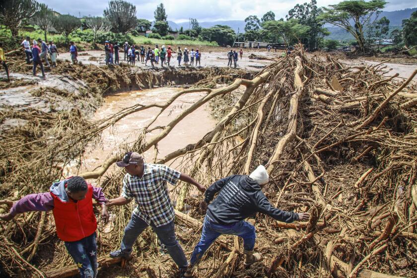
However, such releases can put more pressure on rivers and tributaries downstream — creating more potential hazards for residents who have already suffered flooding and evacuations this year. In Tulare County, high flows and breached levees last month sent floodwaters rushing into the communities of Allensworth and Alpaugh. Some residents in the area are still under active evacuation warnings.
Floodwater streaming into the Tulare Basin also revived the once-dry Tulare Lake, inundating some ranches and farmlands.
The joint state-federal Flood Operations Center is continuing to prepare for high river levels in those regions, officials said. The agency has been fulfilling requests for sandbags and plastic barriers known as muscle walls to help block water, and has deployed engineers to assist with flood threat assessments and levee repairs.
“There’s a lot of snow up there, but there is a coordinated and very active group working and looking at the situation and exercising as many options as possible to maximize benefit and mitigate that hazard,” said Anderson.
The rare ‘triple dip’ of La Niña was the first time in the 21st century the system appeared three years in a row. Now it could give way to El Niño.
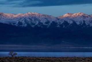
Though most of the focus is on the Central Valley, officials in L.A. are also keeping an eye on on spring and summer flooding as it could cause additional damage to the Los Angeles Aqueduct. The aqueduct, which delivers water from the Owens Valley to millions of Angelenos, has already suffered damage from this winter’s storms.
“Even though the L.A. Metro [area] itself is very unlikely to experience flooding from snowmelt, or really anything else, the rest of the season, it is possible that upstream flooding in the Owens Valley near the L.A. Aqueduct could nonetheless have knock-on effects for Southern California’s water supply,” said Swain, of UCLA. “So that is a significant consideration.”
The San Bernardino Mountains, which saw exceptional — and deadly — snowpack this winter, may also see some minor local risks, “but there isn’t the same kind of huge snowpack reservoir that there is in the southern Sierra,” he said.
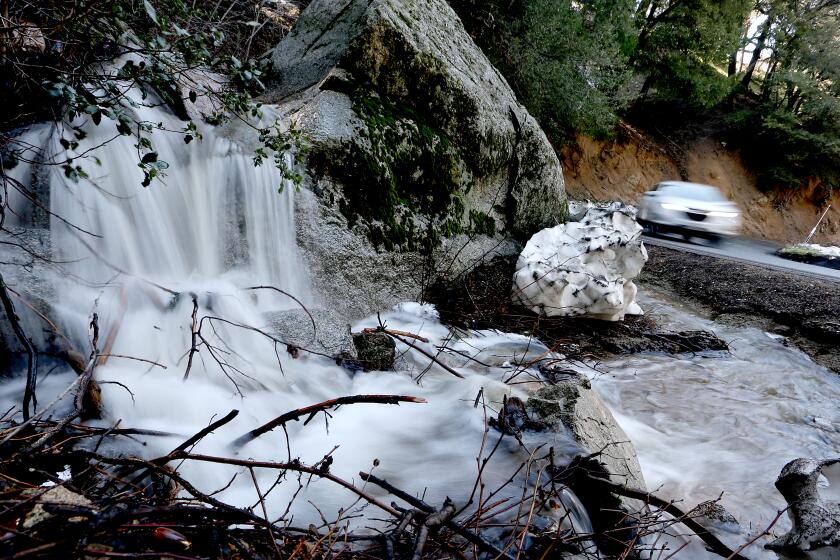
California’s snowmelt is leading to flooding and erosions. The Central Valley and Yosemite are dangerously affected, but the water can benefit drought-battered farmers.
What’s more, those hoping for relief after spring and summer may be out of luck, as long-term forecasts call for the reemergence of El Niño later this year.
The tropical Pacific climate pattern is associated with above-normal rainfall in California, along with accompanying landslides, floods and coastal erosion, though it is not a guarantee. There is a growing likelihood that this year’s El Niño could be notably strong — comparable to “super El Niños” of 1982-83, 1996-97 and 2016-17, Swain said.
“There is a relatively high chance it becomes moderate or stronger by the autumn or winter to come,” he said. “And if it does so, it would have significant implications for California’s late summer, autumn and winter conditions next year.”

