Snowpack in southern Sierra hits all-time record levels. How deep is that?

- Share via
After years of extreme drought and dismal snowpack, California has had a remarkably wet winter and is now veering into record-setting territory for snowfall.
As of Friday, the snowpack in the southern Sierra Nevada was at 286% of normal — the highest figure ever, easily eclipsing the region’s benchmark of 263% set in 1969.
In a tweet, the UC Berkeley Central Sierra Snow Lab said this year recently surpassed 1982-83 as the second-snowiest on record since measurements began in 1946.
“We’ll get closer over the next week” to the top spot on the list, the lab said. Its measured season total was 677 inches of snow, or 56.4 feet, so far.
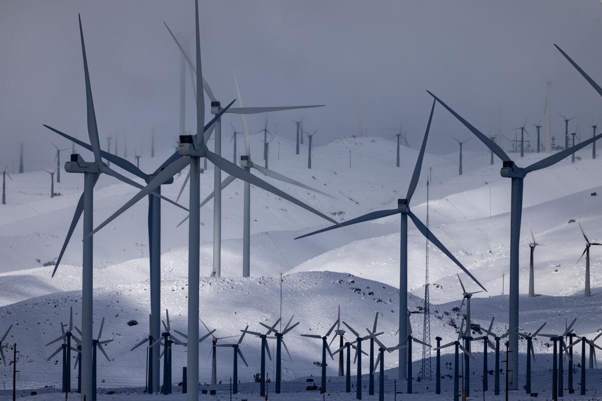
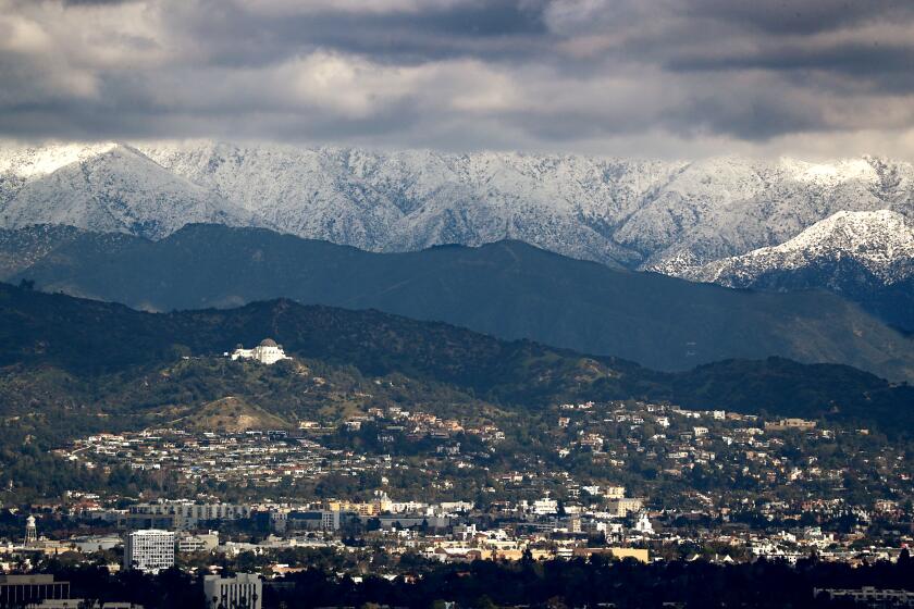
Satellite photos from NASA Earth Observatory show snow from winter storms covering Southern California mountains.
In the central Sierra, snowpack was at 230% of normal. In the northern Sierra, the figure was 182%, trailing the 1983 level.
Statewide, the snowpack is at 228% of normal, hovering near the record level set in the April 1 survey of 1952, 237% of average. The level during the annual April 1 snow survey in 1983 was 227%.
The average snow-water equivalent across the state was 58.1 inches, or nearly 5 feet, of water stored in the snowpack.
While the 1952 survey still takes the cake, the process then included fewer survey measurements, making it difficult to compare to today’s figures, said Sean DeGuzman of the California Department of Water Resources.
That means that, statewide, snowpack measurements are currently “higher than any other reading since the snow sensor network was established in the mid-1980s.”
Comparison issues notwithstanding, “this year will certainly be in the top three or four snowpack years since the 1950s,” DeGuzman said.
And more snow is likely on the way. The National Weather Service’s Sacramento office said on Twitter that “heavy snow is expected Monday PM - Wednesday, heaviest Tuesday.”
With floods already an issue in much of the state, a record snowmelt is now a real concern.
“There’s more water in the Sierra than these facilities can handle,” DWR Director Karla Nemeth said of the state’s reservoirs.
The agency will take steps to “minimize and mitigate flood damage” during what is expected to be a “very long duration snowmelt.”
Reflecting on a wild winter in California, she said the state is “unique across the western U.S.” in its capacity to “move from very, very wet to very, very dry and back to very, very wet.”
More to Read
Sign up for Essential California
The most important California stories and recommendations in your inbox every morning.
You may occasionally receive promotional content from the Los Angeles Times.


