How California’s slew of storms stack up to previous drought-busters
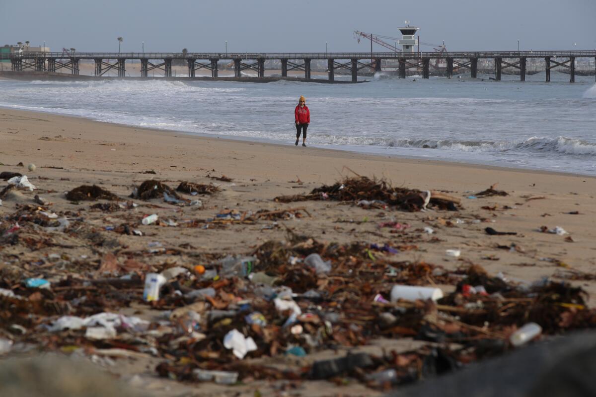
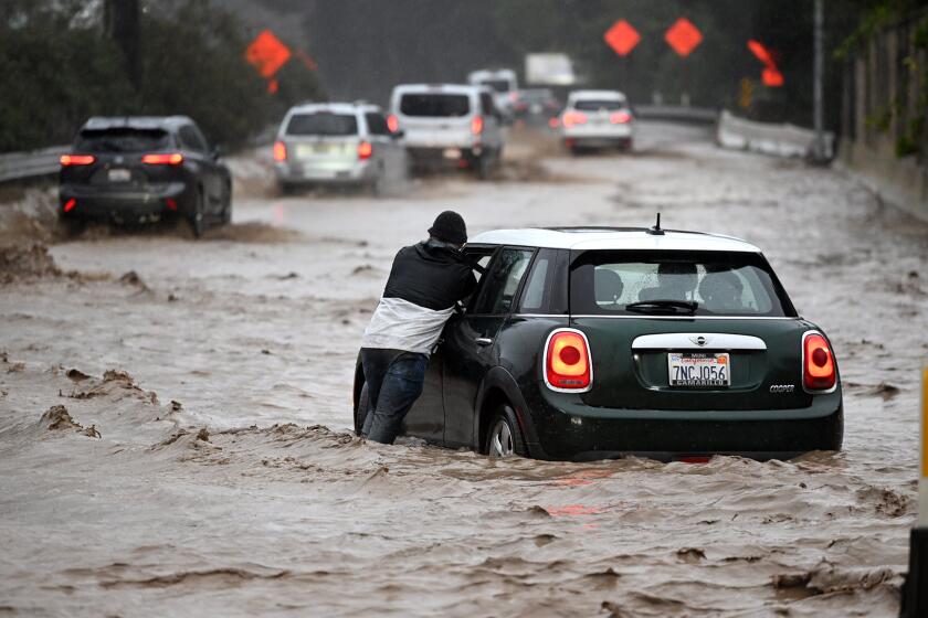
California’s winter storms are shaping up to be some of the most powerful in decades, battering communities with destructive flooding and landslides, forcing evacuations and causing at least 19 deaths across the state.
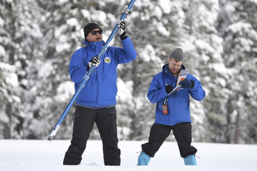
The storms have wreaked havoc, but they also have helped with California’s extreme drought. The state’s snow water equivalent — the amount of water contained in the snow — was 226% of normal on Wednesday, a high for the date not seen in at least 20 years.
Still, this season’s weather hasn’t stacked up as much as the rains that ended the state’s previous historic drought, six years ago.
Here’s a look at some of the records and near records in the parade of storms pummeling California and how they fall short of past years:
President Biden will be visiting California this week following the winter storm that left the state with closed roads, freezing temperatures and a Venture County city evacuated.
Records or near records
Merced County: Bear Creek, a tributary of the Mokelumne River that begins in the Sierra Nevada, reached a record flood level Tuesday morning just east of Merced. The creek stood at 26.18 feet, exceeding the prior record of 24.65 feet set April 4, 2006.
A level of 23 feet is considered the beginning of flood stage at this location of Bear Creek, at McKee Road near Merced’s city limits. Firefighters rescued residents from floodwaters, which surrounded a number of homes, local news outlets reported.
The entire town of Planada, east of Merced, was especially hard hit. It was flooded after Miles Creek overtopped into a drainage canal, which caused the floods, said Jeremy Arrich, manager of the Division of Flood Management with the California Department of Water Resources.
Monterey County: The Salinas River was expected to rise past flood stage at the town of Spreckels on Thursday afternoon and peak Friday evening, Arrich said Wednesday. The peak flood level could be one of the highest on record.
Many areas along the Salinas River in Monterey County were under evacuation orders or warnings. Flooding could sever access between the Monterey Peninsula and points north, including Salinas, the county’s most populous city, Santa Cruz County and the San Francisco Bay Area.
“Residents both on the peninsula and in the Salinas area should expect to be cut off for two to three days,” Monterey County officials said in a statement.
Sheriff Tina Nieto urged residents and businesses to prepare “for what could be the ‘Monterey Peninsula Island,’ as we call it,” she said at a news conference. “Monterey Peninsula may become an island again like it did in the ’95 floods.”
The powerful storm that knocked out power, toppled trees — including one that killed a toddler — and flooded homes along the coast in Santa Cruz continued its march through the region.
Santa Cruz County: The San Lorenzo River, which runs from the Santa Cruz Mountains into Santa Cruz, reached 24.54 feet Monday morning, about 8 feet higher than the flood stage of 16.5 feet.
That’s its second-highest level, eclipsed only by the 28.9 feet recorded during the devastating storm that hit in January 1982, triggering a landslide that killed 10 people and destroyed more than two dozen homes.
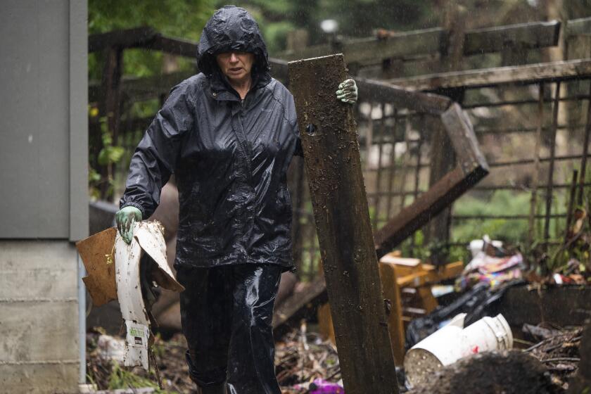
Flooding from the San Lorenzo caused severe damage in the town of Felton on Monday.
The town of Capitola, east of Santa Cruz, was similarly hard hit by flooding and storm surge, and a section of its historic pier was destroyed. Locals said they haven’t seen that kind of storm damage since 1982.
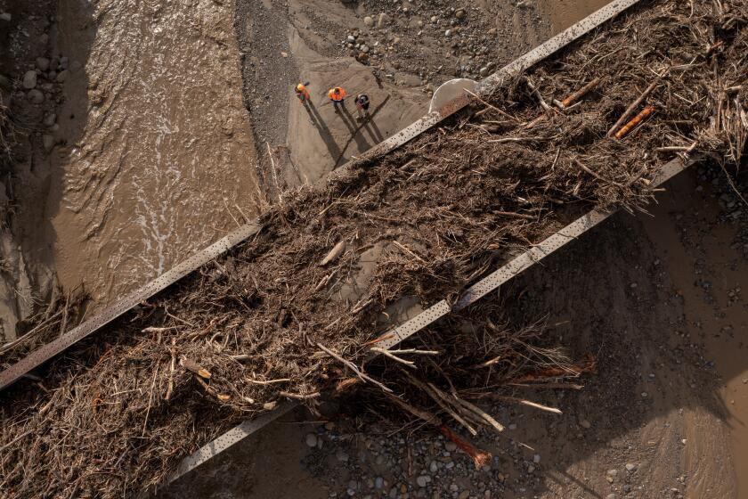
The latest storm further swamps California, already reeling from widespread flooding, mudslides, washed-out roads and downed power lines.
Sacramento County: The flooded Cosumnes River — which flows for 53 miles from the Sierra Nevada to the Central Valley — recently posted its second-highest river flow. By the afternoon of New Year’s Eve, a section about 25 miles southeast of downtown Sacramento was flowing at 65,143 cubic feet per second.
Levees broke along the river, and three motorists were found dead in or near their submerged cars after floodwaters rose around Highway 99.
The highest flow on the Cosumnes River was a year before the 1997–98 El Niño winter. The winter of 1996–97 brought deadly floods and billions of dollars in damage, and on Jan. 2, 1997, the Cosumnes reached a peak flow of 93,000 cubic feet per second.
San Francisco: The city recorded 5.46 inches of rain on New Year’s Eve, the second-wettest day in more than 170 years. The record is 5.54 inches, which fell on Nov. 5, 1994.
Some low-lying areas of the city with poor drainage suffered significant flooding damage on New Year’s Eve, including the Mission District, which is built on former marshlands and creeks.
San Francisco also recently logged its third-wettest 15-day period, according to Jan Null, an adjunct professor of meteorology at San Jose State. Storms dumped more than 12 inches of rain from Dec. 26 through Monday.
The only two wetter 15-day periods were in December 1866, when 13.54 inches fell, and during the Great Flood of 1862, which saw more than 19 inches of rain. What’s more, meteorologists with the drought monitor on Thursday said the last 17 days in San Francisco were its “wettest span of 17 days since the Civil War” in 1862.
A battery of January storms has blanketed the Sierra Nevada in extraordinary snowpack, but will it last through the winter?
Not drought-busters
These storms, however, aren’t drought-busters like those of 2016-17.
In October, California was suffering its driest three-year period on record, and it will take more precipitation to fully exit the drought emergency.
But there’s no denying the moisture has made a difference. The latest U.S. Drought Monitor update moved nearly all of the state out of the worst two drought categories. On Thursday, 0% of the state was in exceptional drought, and only a tiny portion of far Northern California, 0.32%, was in extreme drought.
Still, officials cautioned that that doesn’t mean the battle is won: Nearly half the state is still in severe or moderate drought, the monitor shows.
By comparison, during the winter of 2016-17 precipitation was so abundant that officials had to route water from the Sacramento River into the Yolo Bypass, which runs beneath Interstate 80 west of Sacramento and is one of California’s most daring and critical pieces of water infrastructure.
The Yolo Bypass — undeveloped land that is allowed to flood during a wet year — acts as a floodplain that can take pressure off the Sacramento River, protecting the state capital from floodwaters.
A powerfully wet winter in Sacramento typically includes the manual opening of the Sacramento weir, a lowered section of levees that allow floodwaters to escape into the bypass. Of the six weirs in the Sacramento River flood-control system, the Sacramento barrier is the only one that needs to be manually opened.
Water officials currently have not opened the Sacramento weir, which flows into the Yolo Bypass. The last time it was opened was in 2017, and before that, in 2006.
But by Wednesday, four of the six weirs had flowing water: Moulton, Colusa, Fremont and Tisdale. The Moulton and Colusa weirs send excess water from the Sacramento River into Butte Basin, which flows downstream into the Sutter Bypass, a smaller area upstream of the Yolo Bypass. The Tisdale weir empties river water directly into the Sutter Bypass.
Along with the Sacramento weir, the Fremont weir diverts floodwaters into the Yolo Bypass, and it too had water flowing Wednesday. The Yolo Bypass directs water into the Delta before heading out toward San Francisco Bay.
The deadly toll from California storms grows to 18
That same winter — the last time winter storms catapulted California out of a drought emergency — the northern Sierra Nevada, a key source of precipitation that fills the state’s largest reservoirs, reported a record 94.7 inches of precipitation by the end of the water year, nearly double the annual average of 53.2 inches.
So far this winter, the northern Sierra has recorded 31.3 inches of precipitation. That’s higher than the average for this time of year but still short of where California was at this time during its epic 2016-17 water year.
Currently, some of the state’s most important reservoirs still have water levels below average for this time of year.
Lake Oroville — California’s second-largest reservoir and the keystone to the State Water Project that supplies water to Southern California, the San Joaquin Valley and the San Francisco Bay Area — has water storage that is 90% of the historical average for this time of year and is 49% of capacity.
California’s largest reservoir, Shasta Lake, which supplies water to the Central Valley and the Bay Area, is at 72% of its historical average for this time of year and 44% of capacity.
Digging the state out of such a long-term drought with an increased water supply arguably can’t be done in one winter. The nation’s largest reservoir, Lake Mead, which is held up by Hoover Dam, is mostly empty, a consequence of a 23-year megadrought. It would take years of above-average rainfall to make a dent in the levels of that reservoir, an important water source for Southern California.
Reversing long-term declines in groundwater in California also would take many years, if aquifers were allowed to recover. Across California, domestic wells have dried up in record numbers because of the drought and overpumping of the underground aquifers.
Times staff writers Susanne Rust, Ian James, Dorany Pineda and Gabrielle LaMarr LeMee contributed to this report.
More to Read
Start your day right
Sign up for Essential California for news, features and recommendations from the L.A. Times and beyond in your inbox six days a week.
You may occasionally receive promotional content from the Los Angeles Times.
