6.0 Earthquake Causes Little Damage, Yields Lots of Data
The San Andreas Fault let loose with a 6.0 magnitude earthquake Tuesday morning centered in rural Monterey County, fraying nerves and toppling teacups but otherwise causing little damage while providing seismologists with perhaps more data than any temblor in history.
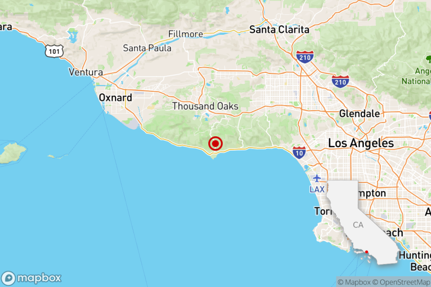
With its epicenter near this town -- population 37 and promoted affectionately by the community as the “Earthquake Capital of the World” -- the strong temblor struck at 10:15 a.m. It began with minor rumblings, grew to a shaking and eventually full undulations of the earth during the next 30 seconds, residents said.
George Jewell, 63, a stocky retired tractor driver who has lived in the area off and on for 50 years, was walking near the trailer that serves as the community library at the time.
And then he wasn’t.
“Yeah, it knocked me on the ground,” Jewell said. “I never been knocked on the ground by anyone or anything before. I got punched real good in Vegas one time and it didn’t knock me down that good.”
People across a 350-mile stretch of California, from Orange County to Sacramento, reported feeling the quake. More than 150 aftershocks followed, including one with a magnitude of 5.0, which is considered moderate, and four others of 4.1 or higher.
Geologists attributed the relatively minor damage to California’s strict, earthquake-minded building codes and to the fact that the temblor struck in a rural area.
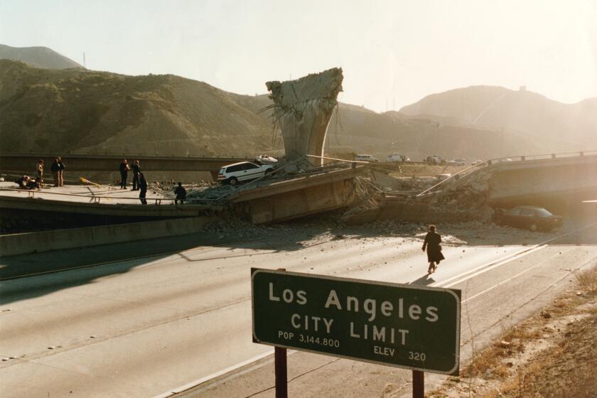
Fifty-seven people died in 1994’s magnitude 6.7 Northridge quake, which prompted stricter building requirements. By contrast, about 35,000 died in Bam, Iran, in December when a 6.6 magnitude quake demolished 85% of the city’s mostly mud-and-straw buildings.
As John Varian, owner of the Parkfield Inn, put it: “There’s no skyscrapers to fall down so it’s never a big deal.”
Tuesday’s temblor, which was at the seismically shallow depth of 4.9 miles, was of a type known as a slip-strike quake, which causes the ground to move horizontally, geologists said.
The shift could lead to another quake of similar or larger size along the same fault line, but scientists placed the likelihood of that at between 5% and 10%.
One of the most seismically active regions in the world -- and packed with more seismic instruments than any similar site -- the Parkfield area is home to residents accustomed to bolting paintings to the walls, securing glassware with double-sided tape and trying to make a buck off the ever-impending Big One.
“Eat here when it happens!” advertises the Parkfield Cafe, where $15.95 will buy you the “Magnitude 6” top sirloin. “Sleep here when it happens!” beckons Varian’s Parkfield Inn.
Although the quake caused relatively minor damage, a few partially crumbled ceilings and chimneys and the fresh memory of the magnitude 6.5 San Simeon quake, which killed two people in December in Paso Robles, 27 miles away, made Tuesday’s quake especially jarring for some.
At the Work Family Ranch near Parkfield, the ceiling of the adobe house that Kelley Work’s grandfather had built in 1933 partially caved in. Vases and pictures smashed to the floor, forcing the Works to take up residence in a guest house on the property.
“I’m done being in this house,” Work said. “It scares me to death.”
Emotions were similarly strained in Paso Robles.
“We just had the you-know-what scared out of us again,” said Norma More, executive director of Paso Robles’ Main Street Assn. “But no damage so far. I just checked my two-story Victorian house. I’m in the process of repairing the cracks from the last one, and there aren’t any new ones I could see.”
Although a mounted deer head fell from the wall at the V6 Ranch near Parkfield and some delicate items toppled and broke in Paso Robles to the southwest to Coalinga to the northeast, everyone seemed to agree that this earthquake was a minor inconvenience compared with the December temblor. That quake caused $100 million in damage.
“A piece of cake,” said Marcia Colbert, 70, who tends the cash register at the Park Street Antique Mall in Paso Robles. The December quake shattered the front windows, toppled pricey antiques and set off the building’s sprinkler system, causing $30,000 in damage.
On Tuesday, Colbert pointed at a wall almost entirely covered with mirrors. “All those mirrors were just swinging back and forth,” she said. “But they all held.”
The historic Mission San Miguel, which was heavily damaged in December, also appeared to be undamaged Tuesday.
“I didn’t see any dust on my desk,” said the mission’s office manager, Maria Payeur. “Comparing it with the one in December -- there was no comparison.”
Before the Paso Robles quake, the last deadly earthquake in the state was the devastating Northridge quake, which caused $40 billion worth of damage.
The San Andreas fault, a grinding intersection of the Pacific and North American tectonic plates, runs through 800 miles of the state. Parkfield is at an intersection within that intersection, a site where a moving portion in the fault meets an unmoving one.
Between the mid-19th century and the mid-20th century, Parkfield experienced, on average, a 6.0-magnitude quake every 22 years -- a regularity good enough in the unpredictable realm of seismology to prompt scientists to begin the Parkfield Experiment two decades ago.
Through the years they have filled the hills and dales, cracks and crevasses with hundreds of instruments -- seismometers, “creepometers,” strain meters, global satellite positioning markers and nearly every other device used to study seismic movements both dramatic and subtle.
To place monitoring equipment even closer to the seismic action, the United States Geological Survey in June began drilling a 2-mile shaft directly into the fault.
The last 6.0 quake in the area occurred in 1966, so scientists began to get their hopes up in the mid-1980s -- 1988 being the 22-year mark. But the 1980s came and went, and then the 1990s, and then the first 3 1/2 years of a new millennium.
Tuesday’s quake -- which was of the right magnitude and in the very spot Parkfield’s seismic history seems to have predicted -- may well become the most-studied quake in history, scientists said.
“We expect to learn a lot, to get a lot of data from this earthquake,” said Caltech seismologist Kate Hutton.
Andy Snyder, the U.S. Geological Survey geologist based in Parkfield, was swarmed by reporters Tuesday outside his small office near the Parkfield Cafe.
When the quake struck, though, he was driving his black Mazda Miata with its vanity license plate: EQHAZARD.
*
Times staff writers Eric Slater, Catherine Saillant, Andrew Blankstein, Kenneth R. Weiss and Daryl Kelley contributed to this report.
More to Read
Sign up for Essential California
The most important California stories and recommendations in your inbox every morning.
You may occasionally receive promotional content from the Los Angeles Times.


