Review: How does Las Vegas prevent catastrophic floods? The answer is in this exhibition
- Share via
In 1917, Marcel Duchamp turned a urinal on its back, signed it “R Mutt” and presented it as a work of art. The public was outraged. Even today, people believe that the Frenchman was making fun of artistic pretensions and that his work mocked old-fashioned ideas about tastefulness.
That’s true. But I also think that Duchamp was impressed with America’s plumbing. It’s just as interesting to think of his sculpture as an invitation to look at the ways cities in the United States channel water — pumping, flushing and dumping it, through pipes, aqueducts and rivers — to make modern life clean and safe.
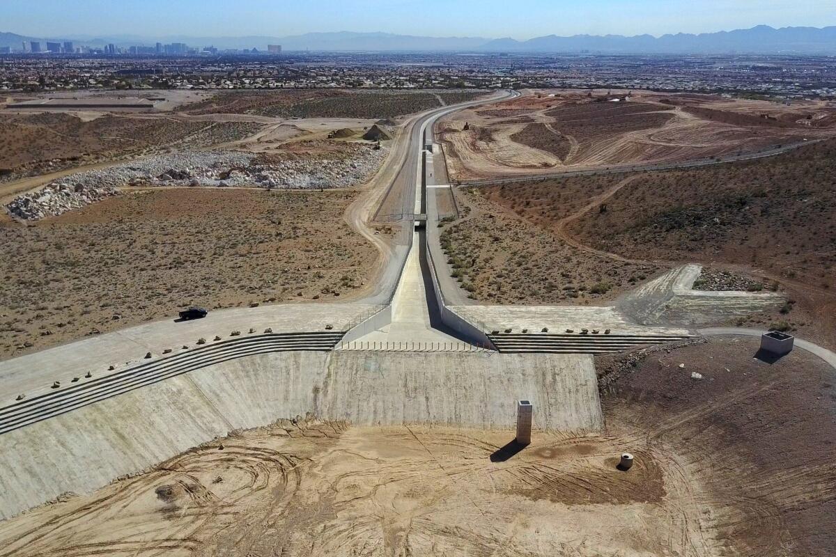
That’s what “Desert Ramparts: Defending Las Vegas From the Flood” does. At the Center for Land Use Interpretation in Culver City, the eye-opening exhibition takes visitors on a trip through the desert around Las Vegas, where the Regional Flood Control District of Clark County has, during the last 30 years, overseen the construction of about 650 miles of concrete, rock and gravel channels and more than 100 detention basins, each the size of a small lake.

Forget industrial-strength art. Think species-scale plumbing.
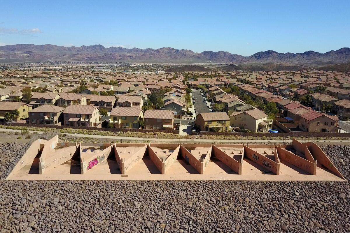
On two walls of the exhibition, seven monitors display aerial videos of structures that look like skate parks or racetracks or runways for intergalactic spacecraft until you notice the tiny houses, streets and skyscrapers in their backgrounds. The massiveness of the poured concrete structures and piled rock embankments hits you in ways 18th century philosophers described as sublime.
All of the bulwarks were made to form a network to protect Las Vegas from flash floods, which, given the geography of the region can be apocalyptic.
On a third wall, a touch-screen monitor takes you to 20 sites around Las Vegas. Projected above is a slide show that includes 150 images, some up close, abstract and sculptural; others distant and architectural.

SIGN UP for the free Essential Arts & Culture newsletter »
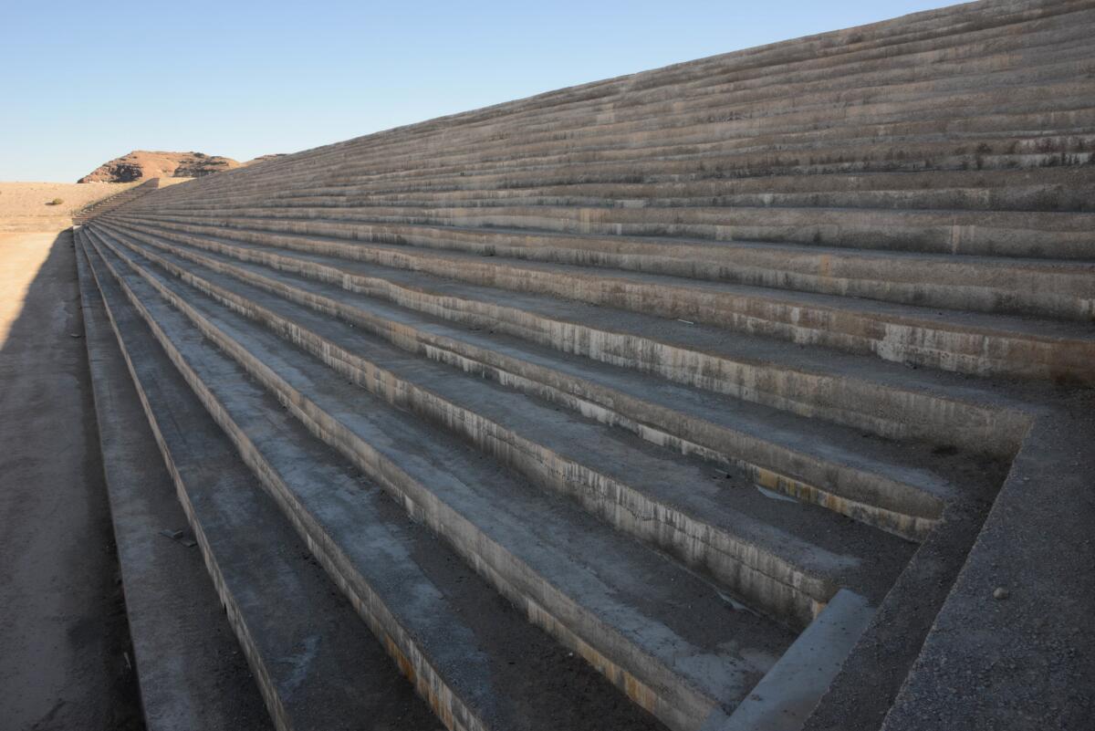
Some of the dams, dikes and debris basins recall the tank-stopping fortifications built in Europe during World War II — only bigger. Others resemble oversize amphitheaters, their stepped forms seeming to be seats for gigantic beings. Others have the presence of parade grounds, where unimaginably vast crowds might gather. Still others recall labyrinths or ziggurats, their angled embankments suggesting rituals that defy comprehension.
People do not appear in any of the images. All that we see is evidence of human activity. This makes it easy to imagine that you are looking at the work of a species that has vanished from the planet. That feeling is intensified by the knowledge that you are looking at structures designed and built — at considerable expense — to prevent such destruction from taking place.
The paradox is poignant. And it would not be lost on Duchamp, whose appreciation for the absurdity of human activity is exemplary, if often overlooked by both his fans and detractors.
Center for Land Use Interpretation, 9331 Venice Blvd., Culver City. Open Fridays-Sundays, through December. (310) 839-5722, www.clui.org

Support coverage of the arts. Share this article.
MORE ART NEWS AND REVIEWS:
What to see at the new Institute of Contemporary Art in DTLA
From Donald Duck to Donald Trump, an unprecedented look at Latin American art
The biggest entertainment stories
Get our big stories about Hollywood, film, television, music, arts, culture and more right in your inbox as soon as they publish.
You may occasionally receive promotional content from the Los Angeles Times.


