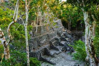
Developments in Brief : NASA Images Aid in Maya Research
- Share via
Satellite images of Mexico’s Yucatan Peninsula, central Guatemala and Belize have shed new light on ancient Mayan civilization, such as the Mayas’ settlement patterns and their use of natural resources, NASA scientists at the Ames Research Center said last week.
The researchers in Mountain View, Calif., also found evidence of an ancient river plain, sea level changes and tectonic fault lines, which may have been important geographic elements in shaping Mayan civilization.
The researchers also are using satellite imagery to detect Mayan water sources, such as natural wells and ponds, and compare their location to those of Mayan ruins.
They believe the remote-sensing project will help resolve the question of how the Mayas built a sophisticated civilization in a relatively resource-poor environment, and help increase understanding of the mysterious cycles of expansion and decline that characterized the Mayan civilization.
Many scholars believe that environmental problems, including misuse of resources, may have led to the Mayas’ periods of decline. Mayas spread across Central America from 2000 BC until the Spanish conquest in the 16th Century.
Researcher Charles Duller said the project is among the first to use space technology to attempt to understand an ancient civilization by studying its environment. Remote sensing has been widely used to search for archeological sites.
More to Read
Sign up for Essential California
The most important California stories and recommendations in your inbox every morning.
You may occasionally receive promotional content from the Los Angeles Times.


