Agricultural Researchers Seek Down-to-Earth Applications for Space Technology
- Share via
DES MOINES — Researchers are trying to harness space-age technology for a down-to-Earth job: to help farmers spread manure and chemicals over their fields.
“There’s no joking about this. This is serious business,” said agricultural engineer Thomas Colvin, who is conducting the studies. “This is a high-tech approach to a low-tech problem.”
The aim is to cut costs and reduce harm to the environment by taking the guesswork out of how much animal waste and chemicals to use and where to use them, Colvin said.
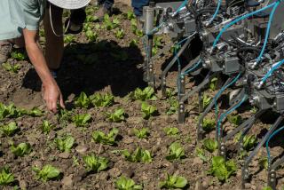
Rather than treat an entire field with the same concentration of chemicals, a satellite navigational system would enable farmers to accurately tailor distribution to take into account differences in soil characteristics.
The cost of satellite communications equipment and computer software to track farm equipment across fields is about $50,000. There would additional expenses for equipment on tractors to enable farmers to increase or decrease the release of fertilizers as they move from one area to another. That gear already is available and not as costly.
Colvin said he is hopeful that mass application of the technology will be practical by the turn of the century.
“The question is when and how much it will cost,” said Colvin, who works at the U.S. Department of Agriculture’s National Soil Tilth Laboratory at Iowa State University. “The goal is to get the cost down to around that of a pickup truck, to $10,000 to $20,000.”
Farmers long have known that one field may have varying soil conditions. One area may be capable of growing 180 bushels an acre of corn while elsewhere the field may only support 60 bushels an acre. Yet the farmer may apply chemicals to the entire field at a rate to sustain production at the highest level. That can be expensive and lead to excessive use of chemicals that may wind up in water supplies.
“The savings come in saving material--applying specific herbicides only where needed, optimizing nitrogen use,” Colvin said.
He said that even if individual farmers find the system too pricey, they may be able to rent equipment and hire crews from cooperatives.
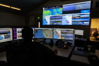
The global positioning satellite system already is in place and used by the military to track troop movements. It also is being adapted for the fishing industry to locate fruitful fishing spots.
“In fishing, if you want to get to within 100 feet of a specific spot, it’s pretty tough. The same is true in the farm field,” Colvin said.
Colvin said the farmer first needs to map the fields to determine chemical needs. Then satellite tracking can be used to locate a tractor in the field and manage how it applies fertilizers, herbicides, pesticides or manure.
Research is focusing on central Iowa fields that are at least one-quarter of a mile by one-quarter of a mile.
Measurements are made from tractors every 10 to 20 feet and on harvesting combines every 40 feet. Colvin said researchers have been measuring the harvested yields of corn, soybeans, oats and alfalfa. But they also are trying to determine if there are differences in the force it takes to pull a farm tool or in the rate of fuel consumption as a tractor or combine travels through a field.
Initial objectives are to map fields so farmers can make adjustments from acre to acre, although satellite technology would allow more refined subdivisions.
Satellite accuracy is within five meters, and Colvin said that in the next five years, accuracy should be measured in centimeters. “This is like going from managing dairy cattle as a herd to managing each cow individually,” he said.
Colvin said the greatest benefits will be realized by farmers who practice sustainable agriculture--which seeks to save the soil and protect the water by minimizing the use of chemicals.
They also can use the technology for planting, scouting pests and harvesting crops.
More to Read
Sign up for Essential California
The most important California stories and recommendations in your inbox every morning.
You may occasionally receive promotional content from the Los Angeles Times.


